Fernweh: Home
    ExploreTravel GuidesPlan a tripMy tripLast visited
    de|en
    All Places & RegionsAll highlightsAbout FernwehFAQPrivacy PolicyImprint
    ExploreTravel GuidesPlan a tripMy tripLast visited
    Greymouth

    New Zealand

    Greymouth

    TownCulture

    Greymouth, Māwhera in Māori, is at the mouth of the Grey River and the largest town on the West Coast. Gold and coal made it thrive in the 19th century; today it's mainly a service hub and the TranzAlpine's terminus from Christchurch.

    by Felix Gillen

    1. Home
    2. Destinations
    3. New Zealand
    4. West Coast
    5. Greymouth
    Greymouth, Māwhera in Māori, is at the mouth of the Grey River and the largest town on the West Coast. Gold and coal made it thrive in the 19th century; today it's mainly a service hub and the TranzAlpine's terminus from Christchurch.The centre is small and quick to explore. For a day, highlights include the brewery, a walk along the river, and trips into the surrounding area, to Shantytown or the Brunner Mine.

    Sehenswürdigkeiten

    Discover the most important sights and attractions

    Southern Breakwater Viewing Platform

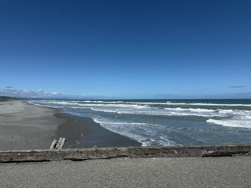
    1Southern Breakwater Viewing Platform

    Viewing platform on the pier in Cobden, at the mouth of the Grey River. From here you see the Tasman Sea surf and the harbour entrance.
    Open in Google Maps
    Shantytown Heritage Park
    Museum

    2Shantytown Heritage Park

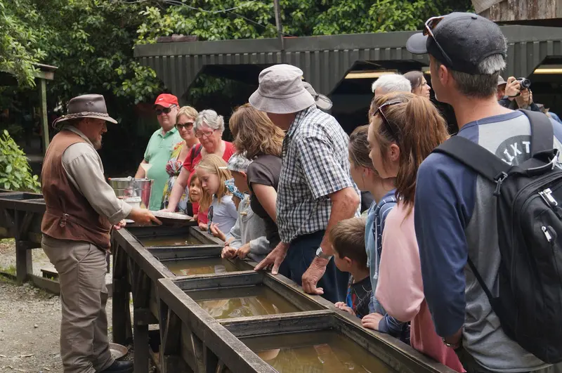
    Reconstructed 19th-century gold miner village in the rainforest south of Greymouth. Among the wooden houses, you can pan for gold and learn about the history of the Gold Rush on the West Coast.
    Open in Google Maps
    Brunner Mine Historic Area
    Historic Landmark

    3Brunner Mine Historic Area

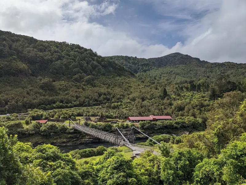
    Coal mine remains on the Grey River near Taylorville, featuring a suspension bridge, brick kilns, and info panels. In 1896, 65 miners died here in an explosion.
    Open in Google Maps
    Coal Creek Falls
    Attraction

    4Coal Creek Falls

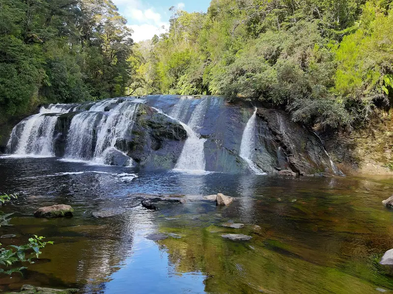
    Waterfall with a swimming hole near Runanga north of Greymouth. The path leads through rainforest and is short enough for a stop on the drive towards Punakaiki.
    Open in Google Maps
    Left Bank Art Gallery
    Gallery

    5Left Bank Art Gallery

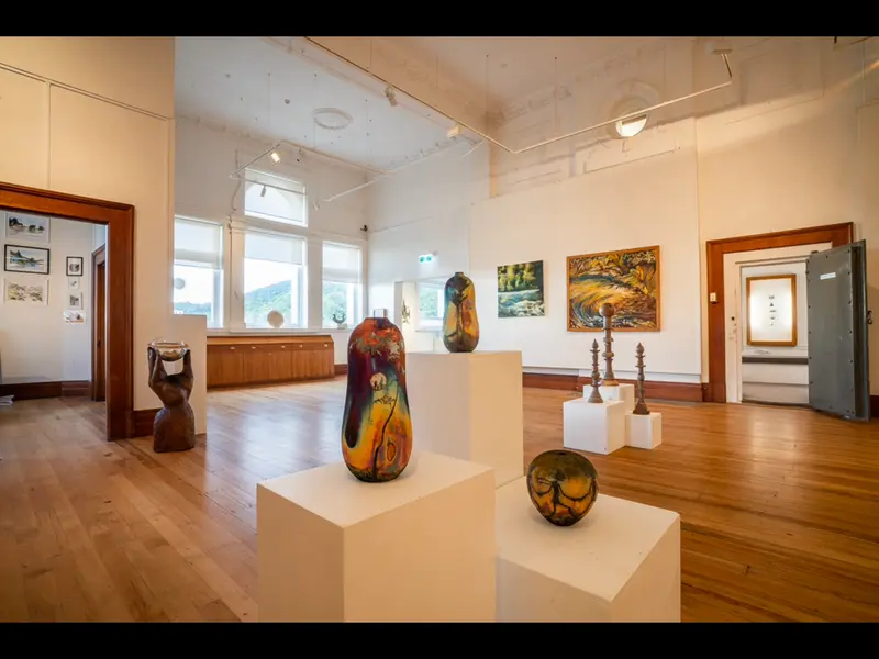
    Non-profit gallery on Tainui Street downtown, featuring rotating exhibitions and works by West Coast artists.
    Open in Google Maps
    St Patrick's Church
    Church

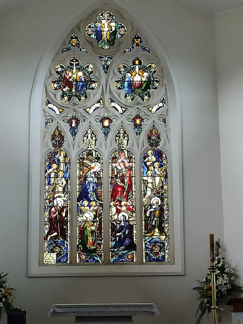
    6St Patrick's Church

    Catholic Parish Church on High Street in the south of the centre.
    Open in Google Maps

    Essen & Trinken

    1

    Jimmy Cook's Restaurant Greymouth

    Restaurant in the central Mawhera Quay, right on the Grey River waterfront.
    Show on Google Maps
    2

    Monteith's Brewery

    Brewery in Herbert Street, where Monteith's has been brewing beer since the 19th century. It also features a bar and restaurant, and brewery tours are offered.
    Show on Google Maps
    3

    DP1 Cafe

    Café on Mawhera Quay offering breakfast, coffee, and light meals. A great spot to start your day.
    Show on Google Maps
    4

    Sampan House

    Cantonese restaurant in Albert Street downtown.
    Show on Google Maps

    Gold, Coal and Beer

    The 1860s Gold Rush brought thousands of fortune seekers to the West Coast, then coal mining in the Grey Valley shaped the region for over a century. Monteith's Brewery, whose name is strongly associated with Greymouth, also dates from this era.The RiverThe Grey River is both a lifeline and a danger. After severe floods, a flood barrier was built along the town centre, which today features a walking path.

    Arrival and On-Site

    The TranzAlpine runs daily from Christchurch via Arthur's Pass to Greymouth, a journey that takes approximately five hours. By car, you can reach the city via State Highway 7 or 73 from the east, or State Highway 6 along the coast. The centre can be explored on foot, but you'll need a car for excursions into the surrounding area.

    Accommodations in Greymouth

    Find perfect stay in Greymouth

    Booking.com* (Affiliate link)
    Search Hotels
    Agoda* (Affiliate link)
    Search Hotels
    Airbnb
    Vacation Rentals

    * Affiliate link: if you book through it, we earn a small commission. The price stays the same for you.

    Nearby

    West Coast

    West Coast

    The West Coast stretches as a narrow strip for about 600 kilometers along the South Island, between the Tasman Sea and the Southern Alps. Rainforest, wild beaches, and rivers characterize the landscape; the towns are small and spread far apart.In the north await the limestone landscapes of Paparoa and Kahurangi, in the center the old gold mining towns of Greymouth and Hokitika, and in the south the Franz Josef and Fox Glaciers. Most travelers drive the entire coast.
    Hokitika

    Hokitika

    Hokitika is a small town on the South Island's West Coast, founded during the 1860s gold rush. Today, it's known for Pounamu workshops, its driftwood beach, and as a gateway to the turquoise Hokitika Gorge.
    Punakaiki

    Punakaiki

    Punakaiki is a small town on State Highway 6 between Greymouth and Westport, right on the edge of Paparoa National Park. It is known for the Pancake Rocks at Dolomite Point: limestone rocks that look like stacked pancakes. At high tide and strong surf, water shoots upwards through the blowholes.Behind the coast, limestone gorges with Nikau palms and rainforest begin. Plan at least half a day if you want to explore one of the river trails in addition to the rocks.
    Buller Distrikt

    Buller Distrikt

    The Buller District forms the northern West Coast, its main town Westport at the mouth of the Buller River. Inland, the river cuts through the Buller Gorge. Along the coast are Cape Foulwind, with its seal colony, and old mining settlements like Denniston and Millerton.Further north, the road ends in Karamea. From there, you can reach the Oparara Arches in Kahurangi National Park and the southern end of the Heaphy Track.
    Gletscherregion (Franz Josef & Fox Glacier)

    Gletscherregion (Franz Josef & Fox Glacier)

    In Westland Tai Poutini National Park, two glaciers extend from the Southern Alps deep into the rainforest: Franz Josef and Fox Glacier. The two namesake villages are located about 25 kilometers apart on State Highway 6 and serve as the base for glacier hikes, helicopter flights, and valley walks.Both glaciers have retreated significantly in recent decades. Today, you can only access the ice with guided Heli-Hikes; the valley paths end at viewpoints at a distance from the glacier terminus.

    Sources & method

    • Photos: Pexels, Google Maps. Each photo carries its credit.
    • Place data such as addresses and ratings comes from Google Maps.
    • The content is based on web research from public, traceable sources. How the content is made · The role of AI