Fernweh: Home
    ExploreTravel GuidesPlan a tripMy tripLast visited
    de|en
    All Places & RegionsAll highlightsAbout FernwehFAQPrivacy PolicyImprint
    ExploreTravel GuidesPlan a tripMy tripLast visited
    • Overview
    • Places in the region
    • Culture
    • Getting around
    • Round trips
    • Nearby
    Wellington

    New Zealand

    Wellington

    Region

    The region at the southern tip of the North Island stretches from the capital through the Hutt Valley and the Kāpiti Coast to the Wairarapa with its wineries. For most travellers, Wellington is the hub between the North and South Islands.

    by Felix Gillen

    1. Home
    2. Destinations
    3. New Zealand
    4. Wellington
    The region at the southern tip of the North Island stretches from the capital through the Hutt Valley and the Kāpiti Coast to the Wairarapa with its wineries. For most travellers, Wellington is the hub between the North and South Islands.
    Wellington itself is compact and easily explored in two to three days. Northwest lies the Kāpiti Coast with long beaches and the offshore nature reserve island Kāpiti Island, which you only visit with a permit and boat transfer. Crossing the Remutaka Mountains, you'll reach the Wairarapa, where Pinot Noir is grown around Martinborough. To the very south is Cape Palliser with a lighthouse and seal colony.

    More places in Wellington
    Wellington (City)

    Wellington (City)

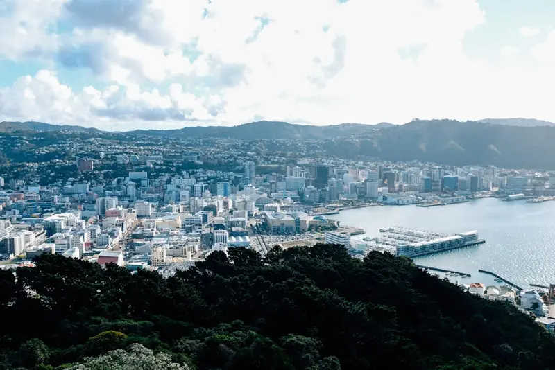
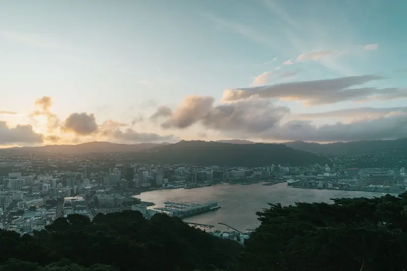
    New Zealand's capital lies tightly squeezed between hills and the natural harbor Te Whanganui-a-Tara at the southern tip of the North Island. The center is compact and you can reach most destinations on foot: Te Papa on the waterfront promenade, the cafés and bars around Cuba Street, Parliament in Thorndon and the Cable Car up to the Botanic Garden.

    Culture

    The region is politically and culturally marked by the capital, with Parliament, National Museum and film industry. Outside the city, it quickly becomes rural: The Wairarapa thrives on sheep farming and wine, while the Kāpiti Coast is home to many commuters.

    Exploring on site

    Metlink trains run from Wellington Station to the Hutt Valley, Kāpiti Coast, and Masterton in the Wairarapa. For Martinborough and Cape Palliser, you need a car. The road over Remutaka Hill is winding. Ferries to Picton depart from Wellington.
    Round trips through this region

    New Zealand Classics North & South

    New Zealand Classics North & South

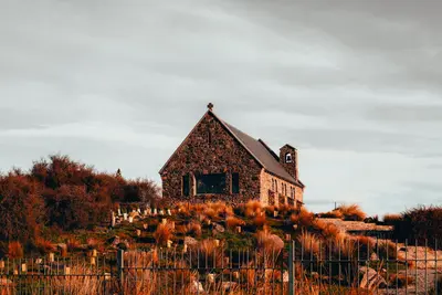
    The route leads from Auckland via Rotorua to Wellington, by ferry across the Cook Strait to Picton, and then across the South Island to Lake Tekapo. The ferry takes a good three hours, and the drive from Picton via Kaikōura and Christchurch to Tekapo takes around seven hours.

    12 Days
    5 stops
    Leisurely New Zealand by Camper

    Leisurely New Zealand by Camper

    From Auckland, the camper travels via Rotorua and Taupō to Wellington, with multiple nights at each place. The longest drive, from Taupō to Wellington, takes around five hours, passing Tongariro National Park.

    11 Days
    4 stops

    Nearby

    Waterfront

    Waterfront

    The waterfront promenade stretches from Queens Wharf at the station end to Oriental Bay. Along the way, you'll find Te Papa, the Wellington Museum, sculptures, and wharves where you can sit in the sun with locals on a fine day.
    Mount Victoria

    Mount Victoria

    Mount Victoria rises about 196 meters above the city center. From the lookout, you'll see the city, harbor, airport and, when clear, across the Cook Strait. Forest trails lead up from Oriental Bay.
    Wellington (City)

    Wellington (City)

    New Zealand's capital lies tightly squeezed between hills and the natural harbor Te Whanganui-a-Tara at the southern tip of the North Island. The center is compact and you can reach most destinations on foot: Te Papa on the waterfront promenade, the cafés and bars around Cuba Street, Parliament in Thorndon and the Cable Car up to the Botanic Garden.
    Cuba Street Quarter

    Cuba Street Quarter

    Cuba Street is the city's most famous entertainment strip. In the pedestrianised Cuba Mall section, you'll find second-hand shops, cafes, and the Bucket Fountain, with live music bars in the side streets.
    Marlborough Sounds

    Marlborough Sounds

    The Marlborough Sounds are a network of sunken river valleys at the northern tip of the South Island. Forested hills descend into tranquil sea arms, the largest being Queen Charlotte, Kenepuru, and Pelorus Sound. Many coves are only accessible by boat.Picton and Havelock are the starting points. From there, water taxis, mail boats, and kayak tours depart, while the Queen Charlotte Track runs along the ridge lines between the Sounds.

    Sources & method

    • Photos: Pexels. Each photo carries its credit.
    • The content is based on web research from public, traceable sources. How the content is made · The role of AI