Fernweh: Home
    ExploreTravel GuidesPlan a tripMy tripLast visited
    de|en
    All Places & RegionsAll highlightsAbout FernwehFAQPrivacy PolicyImprint
    ExploreTravel GuidesPlan a tripMy tripLast visited
    • Neighborhoods & highlights
    • Eat & drink
    • Culture
    • Getting around
    • Accommodation
    • Plan trip
    • Nearby
    Whakarewarewa (Redwood Forest Area)

    New Zealand

    Whakarewarewa (Redwood Forest Area)

    City

    South of Rotorua, two very different worlds lie directly next to each other: the steaming geothermal valley of Whakarewarewa with Te Puia and the inhabited Māori village, and the Whakarewarewa Forest with its tall Californian coastal…

    by Felix Gillen

    1. Home
    2. Destinations
    3. New Zealand
    4. Rotorua
    5. Whakarewarewa (Redwood Forest Area)
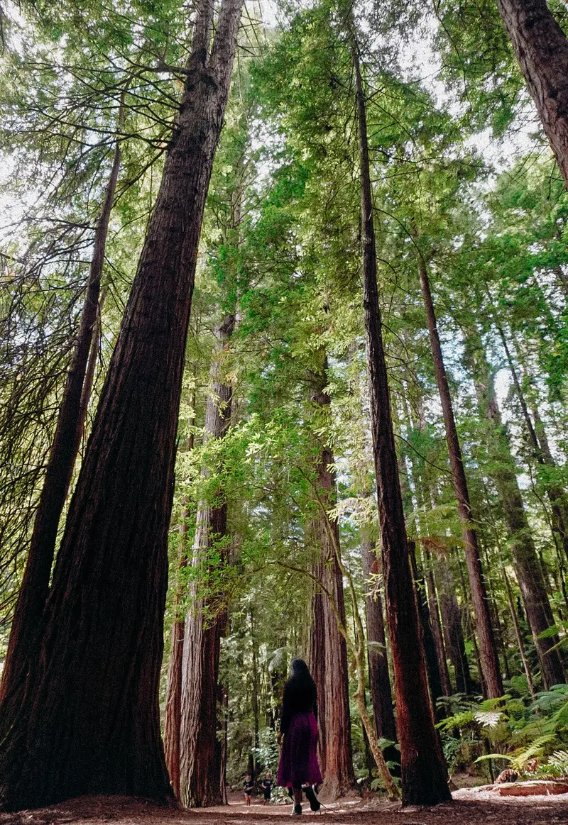
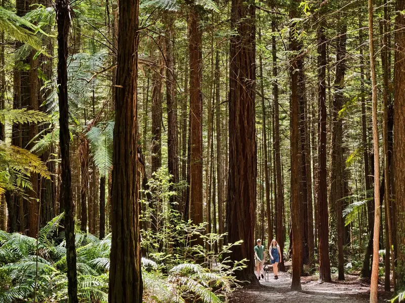
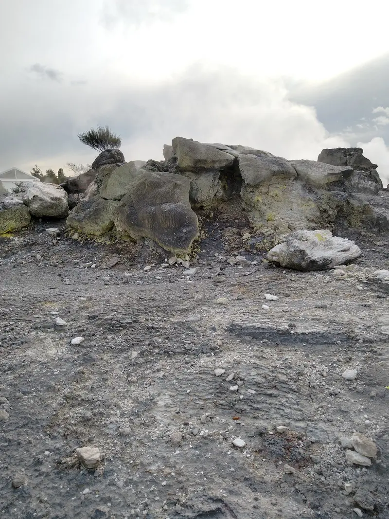
    South of Rotorua, two very different worlds lie directly next to each other: the steaming geothermal valley of Whakarewarewa with Te Puia and the inhabited Māori village, and the Whakarewarewa Forest with its tall Californian coastal redwoods.In the forest, you can hike short and long trails, go mountain biking, or cross the suspension bridges of the Redwoods Treewalk. Early morning is the quietest time here.

    Sights in Whakarewarewa (Redwood Forest Area)

    Discover the most important sights and attractions

    Waikite Geyser

    1Waikite Geyser

    Geyser on Geyser Flat in the Whakarewarewa geothermal area, right next to the more famous Pōhutu. It can be seen from the Te Puia grounds. Stay on the marked paths.
    Open in Google Maps
    Redwoods Altitude

    2Redwoods Altitude

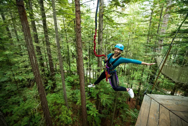
    High ropes course in Whakarewarewa Forest's redwood trees, with suspension bridges, zip lines, and platforms high above the forest floor. Start on Long Mile Road at the Redwoods Visitor Centre.
    Open in Google Maps
    Whakarewarewa Mountain Bike Park

    3Whakarewarewa Mountain Bike Park

    Extensive mountain biking area in Whakarewarewa Forest with trails for beginners to pros; rental bikes are available near the forest entrance.
    Open in Google Maps
    Redwoods – Whakarewarewa Forest

    4Redwoods – Whakarewarewa Forest

    Forest with tall Californian coastal redwoods on the outskirts of Rotorua. A network of walking and cycling trails begins at the visitor center on Long Mile Road.
    Open in Google Maps
    Redwoods Treewalk
    Attraction

    5Redwoods Treewalk

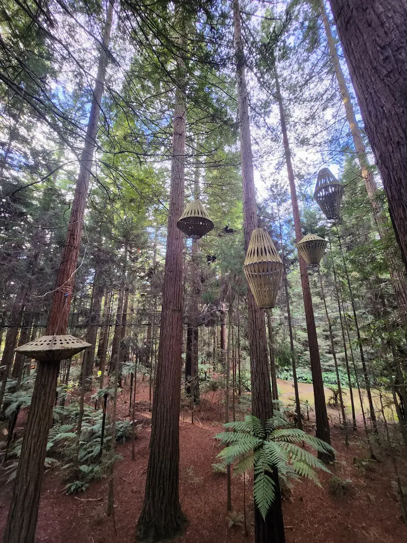
    Loop walk over suspension bridges among the Coast Redwoods of Whakarewarewa Forest, accessible by day and in the evening, illuminated.
    Open in Google Maps

    Essen & Trinken

    1

    The Curry Place

    Indian restaurant on Te Ngae Road in eastern Rotorua, also offering takeaway dishes.
    Show on Google Maps

    Living with Geothermal

    The village of Whakarewarewa is home to around 20 families of the Ngāti Wāhiao, who trace their origins back to the Te Arawa; after the eruption of Mount Tarawera in 1886, they also took in members of the Tūhourangi. The residents cook in steam vents and hot springs, bathe in thermal pools, and personally guide visitors through their village, which you can only enter with a guide.The adjacent forest has a completely different story: At the beginning of the 20th century, experimental plantations with foreign tree species were established here, including the redwoods that now define the landscape.

    Getting there and around

    From Rotorua's centre, it's just a few kilometres to the forest and the Geothermal Valley. Both are easily accessible by bike; on Long Mile Road, you'll find parking and bike rentals. Within the forest itself, you can explore on foot or by mountain bike; the trails are colour-coded.

    Accommodations in Whakarewarewa (Redwood Forest Area)

    Find perfect stay in Whakarewarewa (Redwood Forest Area)

    Booking.com* (Affiliate link)
    Search Hotels
    Agoda* (Affiliate link)
    Search Hotels
    Airbnb
    Vacation Rentals

    * Affiliate link: if you book through it, we earn a small commission. The price stays the same for you.

    Plan your trip to Whakarewarewa (Redwood Forest Area)

    Save places, build a route and plan your city trip, all in one place.

    1. 1
      Sunrise over alpine peaks and a sea of clouds
      1234

      Round trip

      12 days · 4 stops

      Saved

      Pick a route

      Pick a ready-made one or save places and plan your own.

      Open bookmarks
    2. 2

      Trip to Whakarewarewa (Redwood Forest Area)

      Live
      • 1Waikite Geyser3 days
      • 2Redwoods Altitude4 days
      • 3Whakarewarewa Mountain Bike Park5 days
      Budget

      Plan your trip

      The planner sorts stops, days and budget. Plan together in real time.

      Start trip planning
    3. 3
      9:41 No signal
      Whakarewarewa (Redwood Forest Area)
      Available offline

      Use it on the road

      Download the guide to your phone and use it on site, even offline.

    Nearby

    Government Gardens

    Government Gardens

    The Government Gardens are Rotorua's largest city park, located directly on the shore of Lake Rotorua. Its centerpiece is the half-timbered building of the old Bath House, which houses the Rotorua Museum. Surrounding it, you'll find lawns, rose gardens, bowling and croquet greens, and steaming earth in several spots.The Ngāti Whakaue provided the land in the 19th century for the establishment of a health resort. Right next door are the Polynesian Spa and the lakeside path to Sulphur Point.
    Rotorua

    Rotorua

    Rotorua smells of sulfur, and that's part of the experience: The city on the southern shore of Lake Rotorua lies in the middle of a geothermal area. Between pavements and front gardens, steam rises from the ground; in Te Puia, the Pōhutu Geyser erupts; and in Kuirau Park, mud pools bubble without an entrance fee.Rotorua is also the center of the Te Arawa and one of the best places in New Zealand to experience Māori culture, whether in the living village of Whakarewarewa, in lakeside Ohinemutu, or at a cultural evening with Hāngī.
    Central North Island

    Central North Island

    The Central North Island is New Zealand's volcanic country. Between Rotorua, Lake Taupō, and Tongariro National Park, the ground steams, mud pools bubble, and geysers erupt into the air. Also in the west are the Waitomo Glowworm Caves.Here you'll find hiking trails over volcanic craters, thermal baths, lakes for fishing and paddling, as well as places where Māori culture, especially that of the Te Arawa in Rotorua, is visible in everyday life.
    Ohinemutu Māori Dorf

    Ohinemutu Māori Dorf

    Ohinemutu is an inhabited Māori village on the northern edge of Rotorua's city centre, directly on the lakeshore. Families of the Ngāti Whakaue live here, and steam rises from the ground between the houses.Highlights include the carved meeting house Tamatekapua and the Anglican St. Faith's Church, whose interior is adorned with Māori carvings and woven artworks. Please remember you are visiting a residential community here.
    Bay of Plenty

    Bay of Plenty

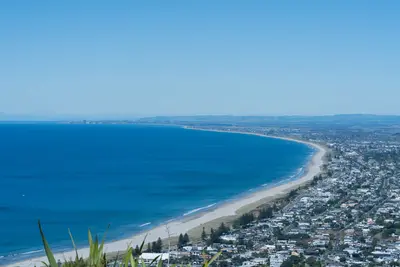
    The Bay of Plenty stretches along the North Island's northern coast from the foot of the Coromandel Peninsula to Cape Runaway. Long sandy beaches, the port city of Tauranga, and the volcanic cone Mauao in Mount Maunganui characterize its western part; inland, mainly kiwifruit and avocados are grown. Off the coast near Whakatāne lies the active volcanic island Whakaari (White Island); tours have not taken place there since the December 2019 eruption.When engaging in activities in volcanic and geothermal areas, as well as when swimming in the sea, always adhere to local warnings and restrictions. General information can be found in the travel and safety advisories of the Auswärtiges Amt, linked on the New Zealand page.

    Sources & method

    • Photos: Pexels, Google Maps. Each photo carries its credit.
    • Place data such as addresses and ratings comes from Google Maps.
    • The content is based on web research from public, traceable sources. How the content is made · The role of AI