Fernweh: Home
ExploreGuideDestinationsMy tripsMy trip
de|en
All Places & RegionsRound tripsNight trains in EuropeAll highlightsAbout FernwehFAQPrivacy PolicyImprint
Download on the App StoreGet it on Google Play
ExploreGuideDestinationsMy tripsMy trip
    • Places in the region
    • Culture
    • Getting around
    • Nearby
    Ross Sea

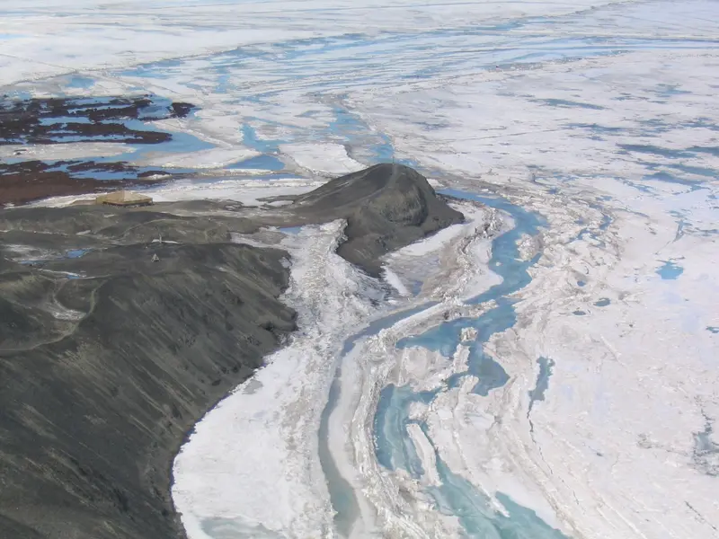
    Francisco Ardini / ©PNRA / Wikimedia Commons / CC BY-SA 4.0, mod.

    Antarctica

    Ross Sea

    Region

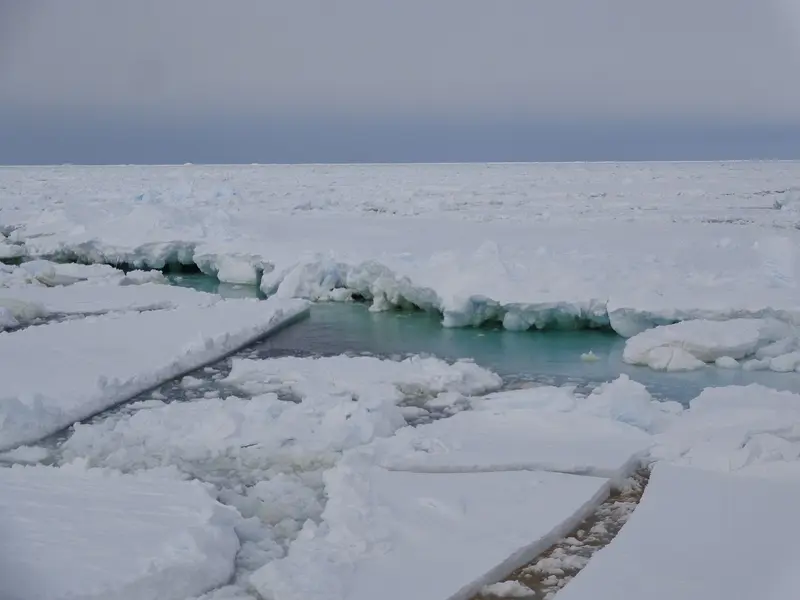
    The Ross Sea lies on the opposite side of the continent, south of New Zealand, and is rarely visited by expedition ships.

    by Felix Gillen

    1. Home
    2. Destinations
    3. Antarctica
    4. Ross Sea
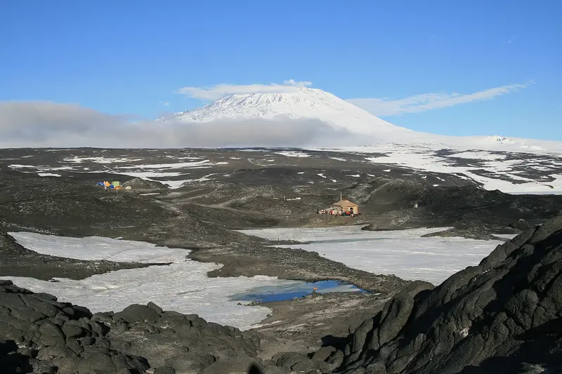
    The Ross Sea lies on the opposite side of the continent, south of New Zealand, and is rarely visited by expedition ships. It borders the Ross Ice Shelf, described by Encyclopaedia Britannica as Earth's largest floating ice mass, whose calving edge James Clark Ross first observed in 1841. On Ross Island stand the historic huts from Scott's Discovery Expedition (1902), Shackleton's Nimrod Expedition (Cape Royds), and Scott's Terra Nova Expedition (Cape Evans), preserved by the New Zealand Antarctic Heritage Trust.
    Antarctica travel guideRound trips in AntarcticaPlan a trip with Ross Sea

    Contents

    • Places in the region
    • Culture
    • Getting around
    • Nearby

    Sights in Ross Sea

    Discover the most important sights and attractions

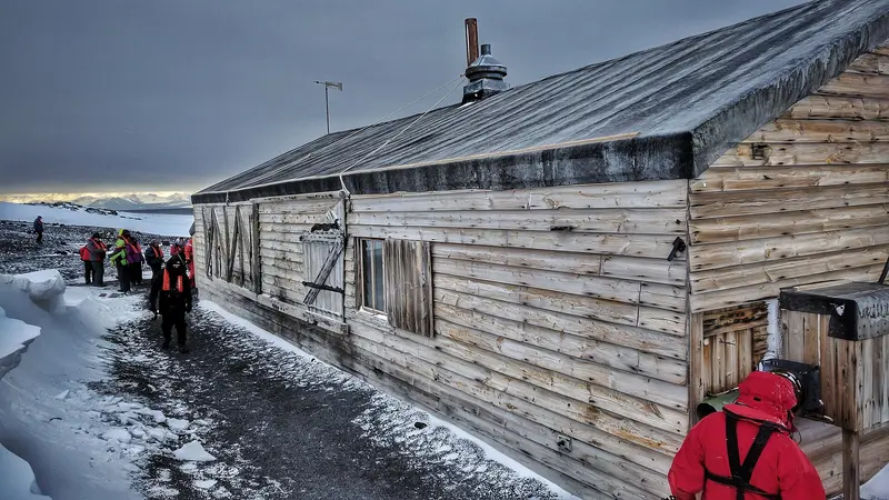
    Scott's Hut at Cape Evans

    “Robert Falcon Scott's Hut At Cape Evans” by owamux / Wikimedia Commons / CC BY 2.0, mod.

    Scott's Hut at Cape Evans

    Base for Robert Falcon Scott's Terra Nova Expedition from 1910 to 1913 on the west side of Ross Island and, according to the Antarctic Heritage Trust, the largest of the historic huts in the Ross Sea. The prefabricated hut was erected in nine days. Inside, the expedition's supplies, equipment, and sleeping quarters are preserved, conserved by the New Zealand Trust.
    Open in Google Maps
    Shackleton's Hut at Cape Royds

    “Cape Royds - Shackleton's hut” by lin padgham / Wikimedia Commons / CC BY 2.0, mod.

    Shackleton's Hut at Cape Royds

    Ernest Shackleton's Nimrod Expedition hut, built 1907-1909 on Ross Island, was prefabricated in London in 1907 and shipped to Antarctica. It is maintained by the New Zealand Antarctic Heritage Trust and furnished with expedition artifacts.
    Open in Google Maps
    Discovery Hut at Hut Point

    “Hut Point Aerial, Antarctica” by Mike Martoccia / Wikimedia Commons / CC BY-SA 2.0, mod.

    Discovery Hut at Hut Point

    Erected in February 1902, this was the base for Scott's Discovery Expedition 1901-1904, prefabricated in Sydney. The hut stands at Hut Point on the south of Ross Island; around 500 abandoned items are conserved annually by conservators from the New Zealand Antarctic Heritage Trust.
    Open in Google Maps

    Huts of the Polar Explorers

    Three Expedition Bases on Ross IslandRoss Island is home to the bases of three famous expeditions: Scott's Discovery Hut at Hut Point (1901-1904 Expedition), Shackleton's Hut at Cape Royds (Nimrod Expedition 1907-1909), and Scott's Hut at Cape Evans (Terra Nova Expedition 1910-1913). The New Zealand Antarctic Heritage Trust maintains them, as well as Borchgrevink's Hut at Cape Adare (1898-1900) and Hillary's Hut near Scott Base.MemorialsOn Wind Vane Hill at Cape Evans, a cross commemorates three members of Shackleton's Ross Sea Party who died in 1916. Vince's Cross stands at Hut Point, and on Observation Hill, a cross from 1913 for Scott's Polar Party. Cape Royds is home to the world's southernmost Adélie penguin colony, which you may only observe from the outside.

    Travel to the Ross Sea

    Long Sea JourneysThe Ross Sea lies south of New Zealand, far removed from the Antarctic Peninsula. Expeditions there depart from ports in southern New Zealand, last around four to five weeks, and usually take place in January and February; the crossing alone takes several days each way. Ice and weather can restrict the program.Rules at the HutsThe huts at Cape Evans, Cape Royds, and Hut Point are Historic Sites in Specially Protected Areas (ASPA); you may only enter them with permission and with a trained guide.A maximum of 8 people are allowed in each hut at any one time, and a maximum of 40 people in the protected area at Cape Evans and Cape Royds. A maximum of 2,000 visitors per hut are allowed per year.In Shackleton's Hut at Cape Royds, bags and selfie sticks are not permitted, and boots must be cleaned beforehand.You may only visit McMurdo and Scott Base stations with prior permission.PermitsTravel to the Ross Sea also requires a permit under the Environmental Protocol. Enquire before booking which huts will be visited. Due to avian influenza (HPAI), IAATO’s protective rules also apply here: do not sit, kneel, or lie down in animal areas, and do not place any equipment on the ground.

    Nearby

    Stewart Island (Rakiura)

    Stewart Island (Rakiura)

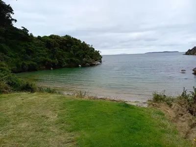
    Stewart Island lies approximately 30 kilometres south of Bluff, across Foveaux Strait. A good 80 percent of the island belongs to Rakiura National Park, and its only settlement is Oban on Halfmoon Bay. The island is one of the best places in New Zealand to see kiwis in the wild, and the offshore Ulva Island is a predator-free bird sanctuary.

    AxonsArachnida·CC BY 4.0

    Bluff

    Bluff

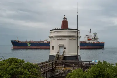
    Bluff is a port town at the southern tip of the South Island, about 30 kilometers south of Invercargill. Here State Highway 1 ends, the ferry to Stewart Island departs, and the famous Bluff oyster comes from the Foveaux Strait.

    Thomas Berwing·CC BY-SA 4.0

    The Catlins

    The Catlins

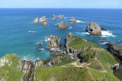
    The Catlins are a sparsely populated coastal region in the southeast of the South Island between Invercargill and Balclutha. The Southern Scenic Route passes by waterfalls like the Purakaunui Falls, the rugged coastline of Nugget Point, and the petrified forest of Curio Bay, where Yellow-eyed penguins and Hector's dolphins live.

    Chen Te·Pexels

    Invercargill

    Invercargill

    Invercargill is New Zealand's southernmost city and the hub of the Southland agricultural region. Wide, grid-patterned streets, historic buildings on Dee and Tay Street, the large Queens Park, and vehicle collections centered around motorcycle racer Burt Munro characterize the city. The Catlins, Bluff, and Stewart Island are close.

    Bernard Spragg. NZ from Christchurch, New Zealand·public domain

    Southland

    Southland

    Southland is New Zealand's southernmost region, from the peaks of Fiordland to Foveaux Strait. It includes vast farmland, the city of Invercargill, Bluff Harbour, Stewart Island, and the southern Catlins.

    Jarod Barton·Pexels

    Your next steps

    Ross Sea is in Antarctica. Ways to carry on from here.

    • More in Antarctica

      Highlights, areas, routes and the best time to travel for all of Antarctica.

      Antarctica travel guide
    • Round trips in Antarctica

      Ready-made routes through Antarctica, with stops, nights and a map.

      See the routes
    • Plan a trip with Ross Sea

      The Guide asks about season, length and who is coming, and suggests a trip with Ross Sea.

      Plan the trip

    Sources & method

    • Photos: Wikimedia Commons. Each photo carries its credit.
    • The content is based on web research from public, traceable sources. How the content is made · The role of AI