Fernweh: Home
ExploreGuideDestinationsMy tripsMy trip
de|en
All Places & RegionsRound tripsNight trains in EuropeAll highlightsAbout FernwehFAQPrivacy PolicyImprint
Download on the App StoreGet it on Google Play
ExploreGuideDestinationsMy tripsMy trip
    • Places & highlights
    • Eat & drink
    • Culture
    • Getting around
    • Accommodation
    • Nearby
    Stewart Island (Rakiura)

    AxonsArachnida / Wikimedia Commons / CC BY 4.0, mod.

    New Zealand

    Stewart Island (Rakiura)

    Island

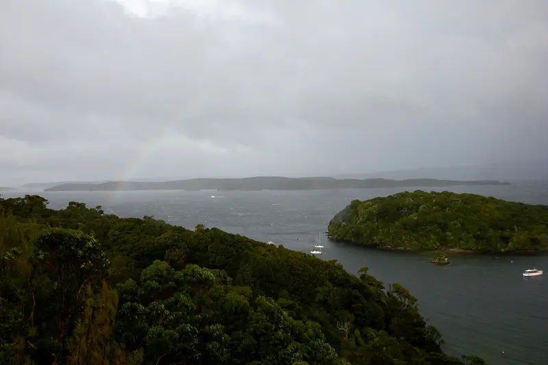
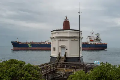
    Stewart Island lies approximately 30 kilometres south of Bluff, across Foveaux Strait. A good 80 percent of the island belongs to Rakiura National Park, and its only settlement is Oban on Halfmoon Bay.

    by Felix Gillen

    1. Home
    2. Destinations
    3. New Zealand
    4. Southland
    5. Stewart Island (Rakiura)
    Stewart Island lies approximately 30 kilometres south of Bluff, across Foveaux Strait. A good 80 percent of the island belongs to Rakiura National Park, and its only settlement is Oban on Halfmoon Bay. The island is one of the best places in New Zealand to see kiwis in the wild, and the offshore Ulva Island is a predator-free bird sanctuary.
    New Zealand travel guideRound trips in New ZealandPlan a trip with Stewart Island (Rakiura)

    Contents

    • Places & highlights
    • Eat & drink
    • Culture
    • Getting around
    • Accommodation
    • Nearby

    Sights in Stewart Island (Rakiura)

    Discover the most important sights and attractions

    Museum

    1Rakiura Museum

    The small museum in Oban showcases the island's history: Māori settlement, whaling, timber industry, fishing, and islanders' lives.
    Open in Google Maps
    Ulva Island

    Tom Ackroyd / Wikimedia Commons / CC0

    Attraction

    2Ulva Island

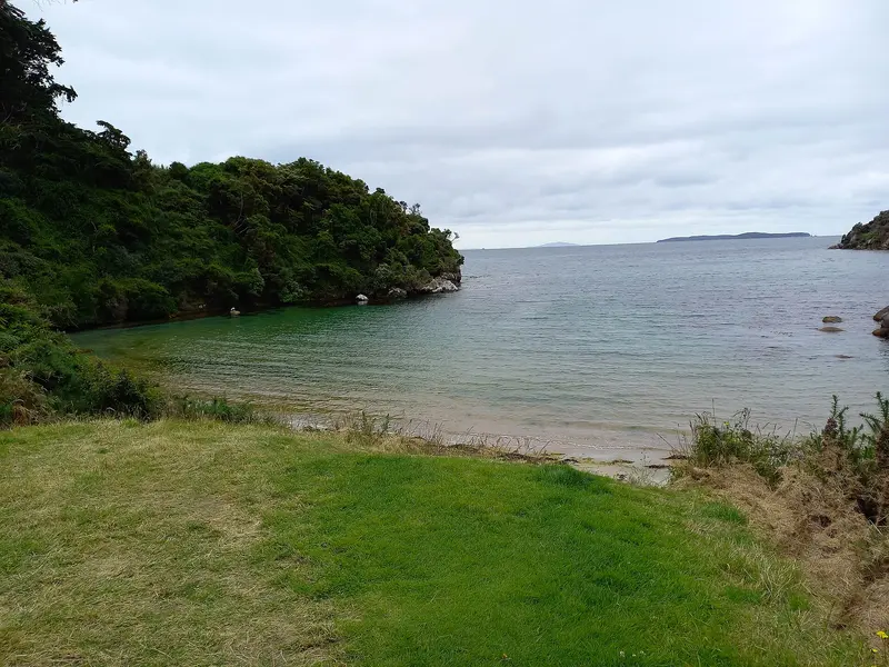
    The predator-free island in Paterson Inlet is an open bird sanctuary with saddleback, rifleman, weka and Stewart Island robin. Water taxis depart from Golden Bay near Oban, a ten-minute trip; the paths can be explored in two to three hours.
    Open in Google Maps

    3Rakiura Track

    The Great Walk is a 32-kilometer loop track, usually completed in three days, utilizing the Port William and North Arm huts. The usual starting point is Lee Bay, five kilometers north of Oban. Huts and campsites must be booked in advance with the DOC.
    Open in Google Maps

    Restaurants in Stewart Island (Rakiura)

    1

    Kai Kart

    Takeaway in Oban serving Fish and Chips and other dishes, popular after arriving by ferry.
    Show on Google Maps

    Rakiura

    RakiuraThe Māori name Rakiura is usually translated as “Land of the Glowing Skies,” a reference to the Southern Lights occasionally seen here. For the Kāi Tahu, the island was an important site for the seasonal gathering of young shearwaters (Tītī). Europeans arrived as sealers, whalers, loggers, and fishers. Since 2002, Rakiura National Park has protected most of the island.Only a few hundred people live on the entire island, almost all in Oban. Life revolves around fishing, conservation, and tourism.

    Arrival and On the Go

    Getting Here and AroundThe ferry from Bluff takes about an hour and can be very rough in windy weather. Stewart Island Flights flies in roughly 20 minutes from Invercargill. In Oban, everything is reachable on foot; the island has only a few kilometres of road.Water taxis will take you to Ulva Island and the walking tracksThe Rakiura Track is a Great Walk of two to three daysWild kiwis are best seen on guided evening tours

    Accommodations in Stewart Island (Rakiura)

    Find perfect stay in Stewart Island (Rakiura)

    Booking.com* (Affiliate link)
    Search Hotels
    Agoda* (Affiliate link)
    Search Hotels
    Airbnb
    Vacation Rentals

    * Affiliate link: if you book through it, we earn a small commission. The price stays the same for you.

    Nearby

    Bluff

    Bluff

    Bluff is a port town at the southern tip of the South Island, about 30 kilometers south of Invercargill. Here State Highway 1 ends, the ferry to Stewart Island departs, and the famous Bluff oyster comes from the Foveaux Strait.

    Thomas Berwing·CC BY-SA 4.0

    Invercargill

    Invercargill

    Invercargill is New Zealand's southernmost city and the hub of the Southland agricultural region. Wide, grid-patterned streets, historic buildings on Dee and Tay Street, the large Queens Park, and vehicle collections centered around motorcycle racer Burt Munro characterize the city. The Catlins, Bluff, and Stewart Island are close.

    Bernard Spragg. NZ from Christchurch, New Zealand·public domain

    Southland

    Southland

    Southland is New Zealand's southernmost region, from the peaks of Fiordland to Foveaux Strait. It includes vast farmland, the city of Invercargill, Bluff Harbour, Stewart Island, and the southern Catlins.

    Jarod Barton·Pexels

    The Catlins

    The Catlins

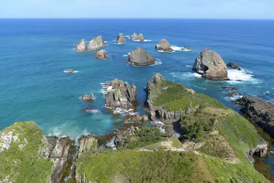
    The Catlins are a sparsely populated coastal region in the southeast of the South Island between Invercargill and Balclutha. The Southern Scenic Route passes by waterfalls like the Purakaunui Falls, the rugged coastline of Nugget Point, and the petrified forest of Curio Bay, where Yellow-eyed penguins and Hector's dolphins live.

    Chen Te·Pexels

    Manapouri

    Manapouri

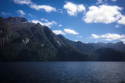
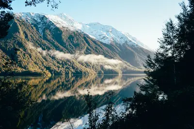
    Manapouri is a small town on the eastern shore of Lake Manapouri, approximately 20 kilometers south of Te Anau. Boats for Doubtful Sound tours depart from Pearl Harbour, and it's also a quieter overnight stay option than Te Anau.

    Unsplash

    Your next steps

    Stewart Island (Rakiura) is in New Zealand. Ways to carry on from here.

    • More in New Zealand

      Highlights, areas, routes and the best time to travel for all of New Zealand.

      New Zealand travel guide
    • Round trips in New Zealand

      Ready-made routes through New Zealand, with stops, nights and a map.

      See the routes
    • Plan a trip with Stewart Island (Rakiura)

      The Guide asks about season, length and who is coming, and suggests a trip with Stewart Island (Rakiura).

      Plan the trip
    Sources & method

    • Photos: Wikimedia Commons. Each photo carries its credit.
    • Place data such as addresses and ratings comes from Google Maps.
    • The content is based on web research from public, traceable sources. How the content is made · The role of AI