Fernweh: Home
ExploreGuideDestinationsMy tripsMy trip
de|en
All Places & RegionsRound tripsNight trains in EuropeAll highlightsAbout FernwehFAQPrivacy PolicyImprint
Download on the App StoreGet it on Google Play
ExploreGuideDestinationsMy tripsMy trip
    • Neighborhoods & highlights
    • Eat & drink
    • Nightlife
    • Getting around
    • Accommodation
    • Plan trip
    • Nearby
    Sant Antoni de Portmany

    Lesbardd / Wikimedia Commons / CC BY-SA 4.0, mod.

    Spain

    Sant Antoni de Portmany

    City

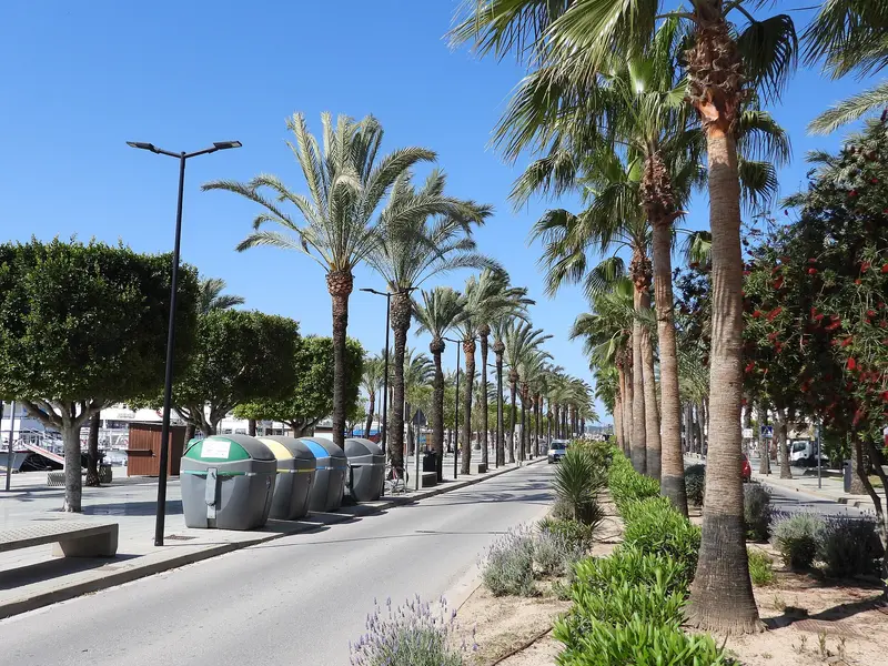
    Sant Antoni de Portmany is situated on a large bay on Ibiza's west coast and is the island's second-largest town.

    by Felix Gillen

    1. Home
    2. Destinations
    3. Spain
    4. Ibiza
    5. Sant Antoni de Portmany
    Sant Antoni de Portmany is situated on a large bay on Ibiza's west coast and is the island's second-largest town. From the Roman natural harbour Portus Magnus, to which the town owes its name, it evolved over centuries into a small fishing village; from the late 1950s onwards, it grew with hotels and resorts into a centre for mass tourism.Sant Antoni is particularly known for its west-facing waterfront, where many people gather in the evenings to watch the sunset, for example at Café del Mar. In the town stands the fortified church of Sant Antoni, one of Ibiza's oldest churches; to the north are the bays of Cala Salada and Cala Saladeta, as well as the cliffs at Cap Nunó.
    Spain travel guideRound trips in SpainPlan a trip with Sant Antoni de Portmany

    Contents

    • Neighborhoods & highlights
    • Eat & drink
    • Nightlife
    • Getting around
    • Accommodation
    • Nearby

    Sights in Sant Antoni de Portmany

    Discover the most important sights and attractions

    Attraction

    1Cala Salada and Cala Saladeta

    The two bays lie about five kilometers north of Sant Antoni near the cliffs at Cap Nunó, nestled between pine forest and clear waters. From May 1st to October 15th, access is controlled daily from 9:30 AM to 5:00 PM: cars are only permitted until parking spaces are full, with the exception of motorcycles, bicycles, taxis, and residents. A more convenient option is the regular bus from Sant Antoni bus station or a boat from the harbor; from the first car park, a signposted footpath of about 500 meters leads to the beach.

    Open in Google Maps

    Restaurants in Sant Antoni de Portmany

    1

    Es Ventall

    Restaurant in Sant Antoni de Portmany, recommended in the Michelin Guide 2026. Chef José Miguel Bonet combines Ibizan tradition with new ideas and uses vegetables from his own garden.
    Show on Google Maps

    Nightlife

    1

    Café del Mar

    The waterfront bar on Sant Antoni's west-facing shoreline is one of the island's most famous spots for sunset views. DJs regularly spin here.
    Show on Google Maps

    Getting Here & Around

    Buses to the CovesFrom Sant Antoni bus station, lines run in summer to the coves in the west: P7 to Cala Salada, P4 to Platges de Comte, P5 and A14 to Cala Bassa, A1 and U1 to Cala Tarida.The beach bus lines operate seasonally; timetables are available from the operator at alsaibiza.es.Boat and CarExcursion boats depart from the harbour to the coves, including Cala Salada.Access to Cala Salada and Cala Saladeta is restricted during the day from May 1 to October 15. If the car park is full, only motorcycles, bicycles, taxis, and residents are allowed in.

    Accommodations in Sant Antoni de Portmany

    Find perfect stay in Sant Antoni de Portmany

    Booking.com* (Affiliate link)
    Search Hotels
    Agoda* (Affiliate link)
    Search Hotels
    Airbnb
    Vacation Rentals

    * Affiliate link: if you book through it, we earn a small commission. The price stays the same for you.

    Campgrounds in Sant Antoni de Portmany

    Find perfect campground in Sant Antoni de Portmany

    Search via Google Maps
    Campgrounds nearby (15km)
    Camping.info
    Find Campgrounds
    Park4Night
    RV Parks & Camping

    Plan your trip to Sant Antoni de Portmany

    Save places, build a route and plan your city trip, all in one place.

    1. 1
      Sunrise over alpine peaks and a sea of clouds
      1234

      Round trip

      12 days · 4 stops

      Saved

      Pick a route

      Pick a ready-made one or save places and plan your own.

      Open bookmarks
    2. 2

      Trip to Sant Antoni de Portmany

      Live
      • 1Cala Salada and Cala Saladeta3 days
      Budget

      Plan your trip

      The planner sorts stops, days and budget. Plan together in real time.

      Start trip planning
    3. 3
      9:41 No signal
      Sant Antoni de Portmany
      Available offline

      Lesbardd / Wikimedia Commons / CC BY-SA 4.0, mod.

      Use it on the road

      Download the guide to your phone and use it on site, even offline.

    Nearby

    Ibiza

    Ibiza

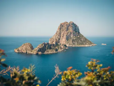
    Ibiza is the larger of the two Pityusic Islands in the southwest of the Balearic Islands. While known for its clubs, Phoenician heritage, bathing coves, and salt pans also define the island, in part a UNESCO World Heritage site since 1999.

    Bjorn Agerbeek·Unsplash

    Ibiza Town (Eivissa)

    Ibiza Town (Eivissa)

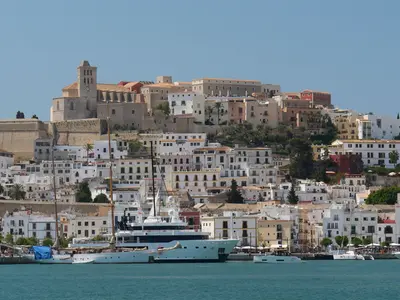
    The island capital dates back to a Phoenician settlement and today has around 55,000 inhabitants. Dalt Vila towers above the harbour, the upper town enclosed by Renaissance walls, which became part of the UNESCO World Heritage in 1999. Below lie the old harbour districts of La Marina and Sa Penya; from the harbour, ferries also depart for Formentera.

    Dirk Pothen·Pexels

    Santa Eulària des Riu

    Santa Eulària des Riu

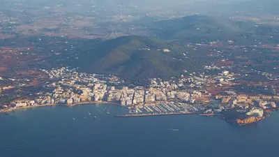
    Der Küstenort an der Südostküste Ibizas liegt rund 15 Kilometer nordöstlich von Ibiza-Stadt und ist Hauptort einer der größten Gemeinden der Insel. Über dem Ort steht auf dem Puig de Missa die befestigte Pfarrkirche. Vom Hauptplatz führt die Allee Passeig de s'Alamera hinunter zum Meer, im Sommer mit Marktständen. Am westlichen Ortsrand mündet der Riu de Santa Eulària, der traditionell als einziger Fluss der Balearen gilt, über ihn führt die alte Steinbrücke Pont Vell.

    UnFUG-Fabi·CC0

    Formentera

    Formentera

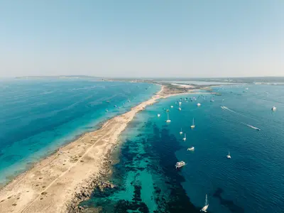
    The smallest and southernmost of the Pityusic Islands, at approximately 83 km², it is also the smallest of the four main Balearic Islands. It is known for its light sandy beaches, clear, turquoise waters, and a relaxed atmosphere. The ferry from Ibiza takes approximately 30 minutes. Many visitors explore the flat island by bike or scooter.

    Pedro Slinger·Pexels

    Jávea (Xàbia)

    Jávea (Xàbia)

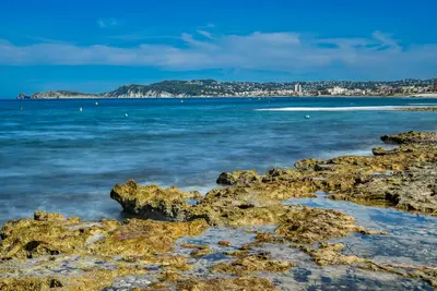
    Xàbia (Jávea) lies between Capes Sant Antoni & La Nau on northern Costa Blanca. It has three parts: Old Town (with fortified church Sant Bertomeu), Duanes de la Mar port, and Arenal beach. Nearby are rock coves, viewpoints, and Montgó Natural Park.

    Unsplash

    Your next steps

    Sant Antoni de Portmany is in Spain. Ways to carry on from here.

    • More in Spain

      Highlights, areas, routes and the best time to travel for all of Spain.

      Spain travel guide
    • Round trips in Spain

      Ready-made routes through Spain, with stops, nights and a map.

      See the routes

    Sources & method

    • Photos: Wikimedia Commons. Each photo carries its credit.
    • Place data such as addresses and ratings comes from Google Maps.
    • The content is based on web research from public, traceable sources. How the content is made · The role of AI