Fernweh: Home
ExploreGuideDestinationsMy tripsMy trip
de|en
All Places & RegionsRound tripsNight trains in EuropeAll highlightsAbout FernwehFAQPrivacy PolicyImprint
Download on the App StoreGet it on Google Play
ExploreGuideDestinationsMy tripsMy trip
    • Places in the region
    • Getting around
    • Nearby
    Halbinsel Paraguaná

    Aramburu Carlos / Wikimedia Commons / CC BY 4.0, mod.

    Venezuela

    Halbinsel Paraguaná

    Region

    For this area, the FCDO advises against travel unless it is essential. Check the FCDO travel advice, linked on the country page, before planning.

    by Felix Gillen

    1. Home
    2. Destinations
    3. Venezuela
    4. Halbinsel Paraguaná
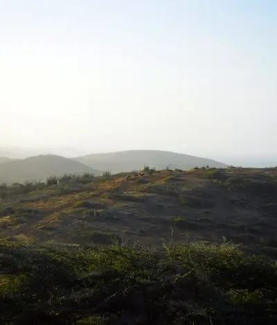
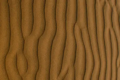
    For this area, the FCDO advises against travel unless it is essential. Check the FCDO travel advice, linked on the country page, before planning.The roughly 3,400 km² peninsula in Falcón state is joined to the mainland only by the dune landscape of the Médanos de Coro. Cabo San Román marks the northernmost point of mainland Venezuela, Cerro Santa Ana rises in the interior, and on the east coast Adícora, with its steady trade winds, is a spot for windsurfers and kitesurfers.The largest town is Punto Fijo, which grew with the Amuay and Cardón refineries on the west coast. A highway crosses the isthmus from Coro.
    Venezuela travel guideRound trips in VenezuelaPlan a trip with Halbinsel Paraguaná

    Contents

    • Places in the region
    • Getting around
    • Nearby

    Sights in Halbinsel Paraguaná

    Discover the most important sights and attractions

    Attraction

    Cabo San Román

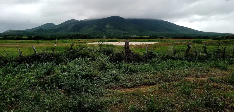
    The cape at the northern tip of the peninsula is the northernmost point of the Venezuelan mainland. A lighthouse has stood here since 1928; at night, the lights of Aruba can be seen.
    Open in Google Maps
    Attraction

    Adícora

    The town on the east coast was formerly a port for trade with Curaçao. Today, the consistent trade wind and surf schools attract windsurfers and kitesurfers.
    Open in Google Maps
    Park

    Natural Monument Cerro Santa Ana

    Protected as a natural monument since 1972, the mountain in the peninsula's interior is a good 800 m high. Dry thorn bush grows below, while moist forest with epiphytes is found near the summit. The ascent trail starts in Moruy.
    Open in Google Maps

    Getting there and around

    Check the FCDO travel advice for this area before planning.Getting thereFrom Coro a highway crosses the Médanos isthmus to Punto Fijo.Punto Fijo has its own airport, Josefa Camejo.On the peninsulaCabo San Román lies around 112 km north of Coro at the northern tip, Adícora on the east coast, and Cerro Santa Ana in the interior, with Moruy as the starting point.

    Nearby

    Coro

    Coro

    For this area, the FCDO advises against travel unless it is essential. Check the FCDO travel advice, linked on the country page, before planning.Coro in north-western Venezuela, founded in 1527 as Santa Ana de Coro, has a colonial old town built of earth: some 600 historic buildings combine local building traditions with Mudéjar style and Dutch techniques. Coro and its port La Vela have been a UNESCO World Heritage Site since 1993, and the sand dunes of Médanos de Coro National Park begin right outside the city.Since 2005 the site has been on the List of World Heritage in Danger because rain and groundwater damage the earthen buildings. The Paraguaná Peninsula lies to the north.

    Waskyria Miranda·Pexels

    San Nicolas and the South

    San Nicolas and the South

    San Nicolas in the southeast was the site of the Lago Refinery and is now known for its large-format murals: Since the first Aruba Art Fair in September 2016, artists like Bordalo II have adorned the facades. The Carnival Museum Carnival Euphoria and the San Nicolas Community Museum tell the story of the city.Nearby lies Baby Beach, a shallow lagoon for families, and on the south coast near Savaneta, the mangroves of Mangel Halto as well as the Zeerovers fishing pier.

    Ginelly.Q·CC0

    Arikok National Park

    Arikok National Park

    According to the Aruba Conservation Foundation, Arikok National Park covers 34 km², about one-fifth of the island, primarily along its rugged north and east coasts. The Fontein Cave preserves Arawak rock paintings, while the Quadirikiri Cave features two chambers with light filtering through ceiling openings. Other attractions include the Boca Prins Dunes, the twin coves of Dos Playa, and Jamanota, Aruba's highest point at 188 m.The most famous destination is the Natural Pool (Conchi), a rock-sheltered natural basin on the north coast, accessible only by 4x4 vehicle, horseback, or on foot. The park is open daily from 8 AM to 4 PM.

    Ginelly.Q·CC BY-SA 4.0

    Oranjestad

    Oranjestad

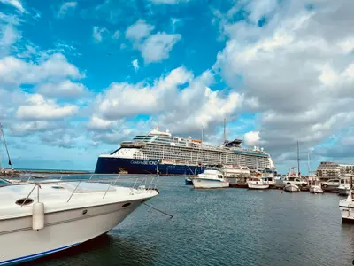
    Oranjestad is the capital of Aruba and is located on the sheltered southwest coast near the airport. Its landmark is Fort Zoutman, built from 1796 to 1798, and according to the Aruba Tourism Authority, the city's oldest surviving building, with the later added Willem III Tower; which houses the Historical Museum.A free tram connects the cruise terminal with the shopping street Main Street (Caya G. F. Betico Croes). The National Archaeological Museum, housed in the former residence of the Ecury family, displays artifacts from the time of the indigenous people. According to visitaruba.com, the Bon Bini Festival, previously held on Tuesdays at the Fort, has been paused since 2026.

    Gregory Wangsadikrama·Unsplash

    Eagle Beach and Palm Beach

    Eagle Beach and Palm Beach

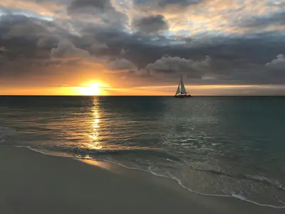
    North of Oranjestad, the island's most famous beaches line the tranquil west coast. According to Lonely Planet, Eagle Beach is wide and white, featuring the wind-bent Fofoti trees; here, four species of sea turtles nest, and sections are closed during nesting season. Palm Beach is livelier, with numerous restaurants and watersports.Further north are Boca Catalina and Arashi Beach, with reefs close to shore, and the California Lighthouse stands at the northwest tip. Inland lie the Butterfly Farm and the small Alto Vista Chapel.

    Jared Lisack·Unsplash

    Your next steps

    Halbinsel Paraguaná is in Venezuela. Ways to carry on from here.

    • More in Venezuela

      Highlights, areas, routes and the best time to travel for all of Venezuela.

      Venezuela travel guide
    • Round trips in Venezuela

      Ready-made routes through Venezuela, with stops, nights and a map.

      See the routes
    • Plan a trip with Halbinsel Paraguaná

      The Guide asks about season, length and who is coming, and suggests a trip with Halbinsel Paraguaná.

      Plan the trip
    Sources & method

    • Photos: Wikimedia Commons. Each photo carries its credit.
    • Place data such as addresses and ratings comes from Google Maps.
    • The content is based on web research from public, traceable sources. How the content is made · The role of AI