ExploreTravel GuidesPlan a trip
    de|en
    All Places & RegionsAbout FernwehFAQPrivacy PolicyImprint
    ExploreTravel GuidesPlan a trip
    Grand Canyon National Park

    United States

    Grand Canyon National Park

    Point of Interest

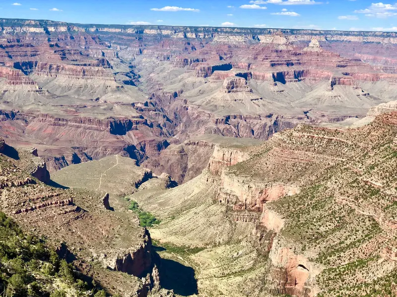
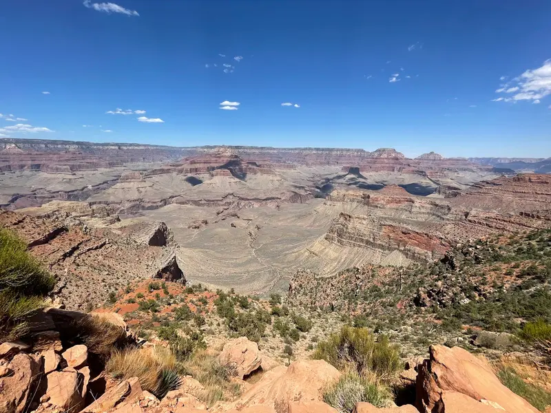
    The Grand Canyon National Park in Arizona protects the 446-kilometer-long canyon of the Colorado River, which is up to 29 kilometers wide and up to 1,857 meters deep.

    1. Home
    2. Destinations
    3. United States
    4. Arizona
    5. Grand Canyon National Park
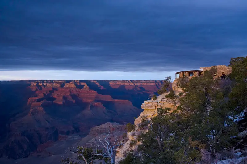
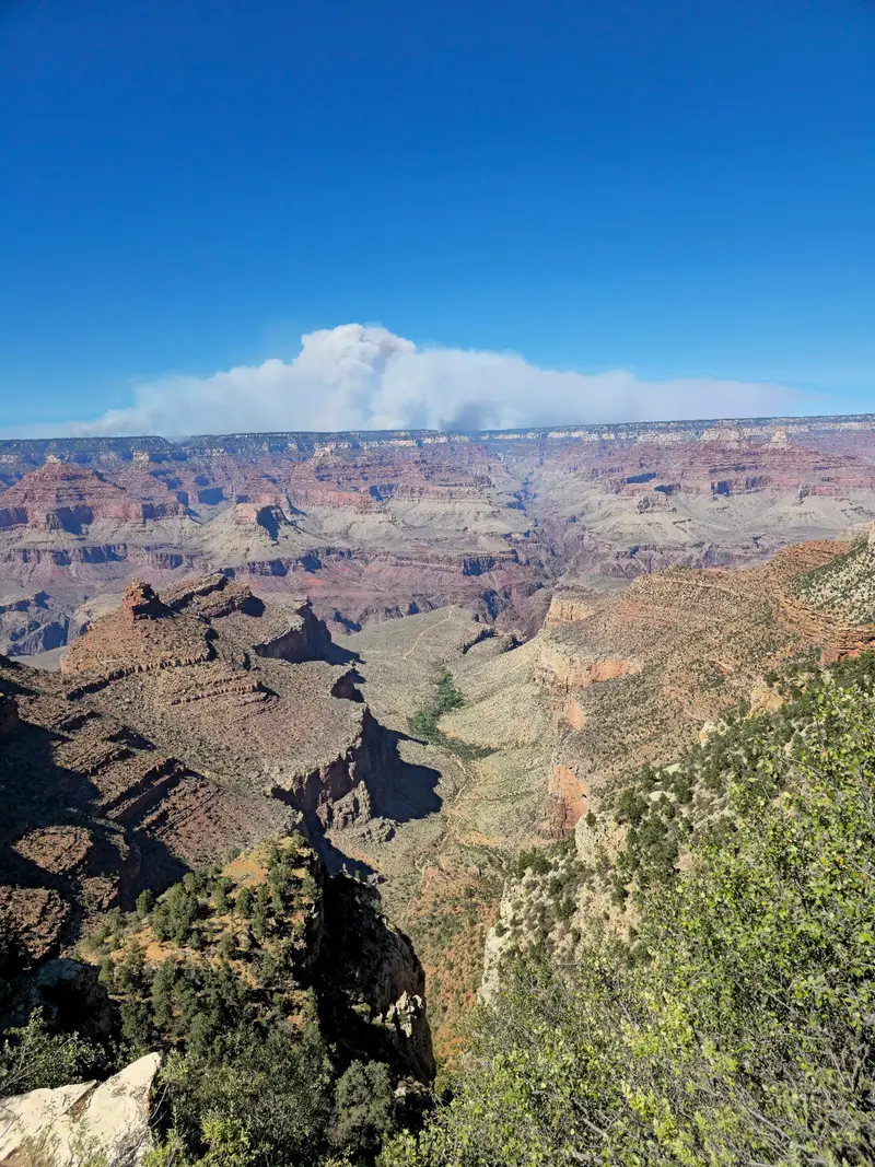
    The Grand Canyon National Park in Arizona protects the 446-kilometer-long canyon of the Colorado River, which is up to 29 kilometers wide and up to 1,857 meters deep. From the South Rim, about a 90-minute drive north of Flagstaff, you'll gaze upon a landscape that has been a UNESCO World Heritage site since 1979.The heart of the South Rim is Grand Canyon Village, home to the Hotel El Tovar, which opened in 1905. Hermit Road extends about 11 kilometers to viewpoints along the rim and is accessible only by shuttle bus from March to November. At Desert View stands the Watchtower, designed by Mary Colter in 1932. On the North Rim, over 2,400 meters high, a wildfire destroyed the Grand Canyon Lodge in 2025; there will be no accommodation there in 2026.Entry costs 35 US dollars per vehicle; visitors without US residency aged 16 and over pay an additional 100 dollars per person. This surcharge is waived with the America-the-Beautiful Pass for non-residents (250 dollars). An entry reservation is not required; payment is by card only.

    Sights in Grand Canyon National Park

    Discover the most important sights and attractions

    Mather Point
    Attraction

    1Mather Point

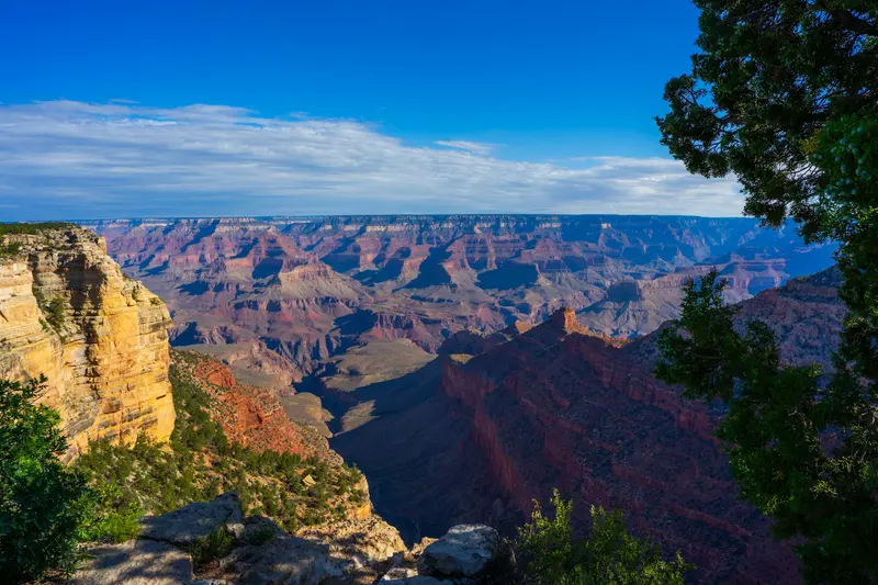
    The viewpoint is located near the Grand Canyon Visitor Center and, like the Yavapai Geology Museum, is reached via the Kaibab Rim Route (Orange). The bus operates from 6 AM until one hour after sunset.
    Open in Google Maps
    Bright Angel Trail
    Attraction

    2Bright Angel Trail

    Beginning in Grand Canyon Village, the trail runs 12.9 km to River Resthouse on the Colorado, with 1,340 m elevation gain. As of October 2026, the trail to River Resthouse is open, but water at the Resthouses and in Havasupai Gardens is turned off. No permit is required for day hikes.
    Open in Google Maps
    South Kaibab Trail (Cedar Ridge)
    Attraction

    3South Kaibab Trail (Cedar Ridge)

    The trail is 11.4 km long and covers 1,460 m in elevation from the rim to the Colorado. Ooh Aah Point is at 1.4 km, Cedar Ridge at 2.4 km. Water is only available at the trailhead. As of October 2026, the section below Tip-Off is closed.
    Open in Google Maps
    Hermit Road and Hermits Rest
    Historic Landmark

    4Hermit Road and Hermits Rest

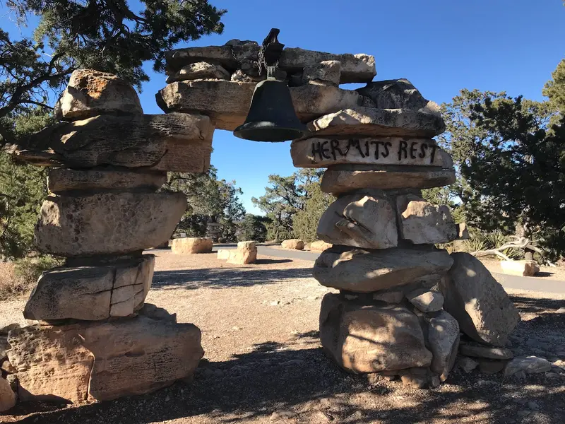
    The approximately 11 km panoramic road leads from Grand Canyon Village to several viewpoints up to Hermits Rest, a rest house by Mary Colter from 1914. From March 1st to November 30th, 2026, the red shuttle is the only way to get there; it runs every 12 minutes.
    Open in Google Maps
    Grand Canyon Village Historic District
    Historic Landmark

    5Grand Canyon Village Historic District

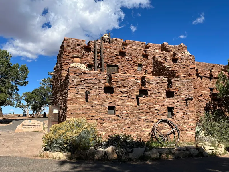
    The historic village on the South Rim is protected as a National Historic Landmark District with 257 buildings. These include El Tovar (1905), the Hopi House (1905) by Mary Colter, modeled after the Hopi village of Old Oraibi, the Lookout Studio (1914), and the Bright Angel Lodge (1935).
    Open in Google Maps
    Yavapai Geology Museum
    Museum

    6Yavapai Geology Museum

    The small museum at the South Rim explains the formation of the Canyon, including a topographic relief model. It's located on the Kaibab Rim Route (Orange) of the shuttle bus, near Mather Point.
    Open in Google Maps

    Restaurants in Grand Canyon National Park

    Culture and History

    For millennia, the Grand Canyon has been home to indigenous peoples, with human presence traceable for up to 12,000 years. Today, eleven federally recognized tribes are traditionally connected to the park, including the Havasupai, Hualapai, Hopi, Navajo (Diné), Zuni (A:shiwi), several Paiute groups, and the Yavapai-Apache Nation. The Havasupai laid out the upper section of what would become the Bright Angel Trail; the Indian Garden rest stop has been called Havasupai Gardens since 2022.In 1908 the area became a National Monument, and a National Park in 1919. With the first railway in 1901, Grand Canyon Village grew. Architect Mary Colter shaped the image of the South Rim for the Fred Harvey Company from 1902 to 1948:Hopi House (1905), modeled after the Hopi village of Old OraibiLookout Studio and Hermit's Rest (both 1914)Desert View Watchtower (1932), with murals by Fred KabotieBright Angel Lodge (1935)The Hotel El Tovar was built in 1905 according to plans by Charles Whittlesey for the Santa Fe Railway.

    Getting There and Around the Park

    The South Rim is open year-round. The South Entrance is about 90 minutes from Flagstaff and approximately 60 minutes from Williams; from Phoenix, with its major airport, the drive is around four hours. The Grand Canyon Railway departs daily at 9:30 AM from Williams, reaches the Canyon after about 2 hours 15 minutes, and allows for a good three-hour stay.Shuttles: Village Route (Blue), Kaibab Rim Route (Orange) to Mather Point, Yavapai, and South Kaibab Trailhead; Hikers' Express from Bright Angel Lodge at 6, 7, and 8 AM.Hermit Road is accessible only by shuttle (Red) from March 1 to November 30, 2026.Between the South and North Rims, there are approximately 340 km of road, a drive of about 4.5 hours.North Rim 2026: open until November 30 or the first heavy snowfall, without overnight stays in the park. The gas station there has been closed since September 19; gasoline is available in Jacob Lake.Admission is by card payment only. Accommodations in the park should be booked well in advance.

    Accommodations in Grand Canyon National Park

    Find perfect stay in Grand Canyon National Park

    Booking.com* (Affiliate link)
    Search Hotels
    Agoda* (Affiliate link)
    Search Hotels
    Airbnb
    Vacation Rentals

    * Affiliate link: if you book through it, we earn a small commission. The price stays the same for you.

    Campgrounds in Grand Canyon National Park

    Find perfect campground in Grand Canyon National Park
    Search via Google Maps
    Campgrounds nearby (15km)
    Camping.info
    Find Campgrounds
    Park4Night
    RV Parks & Camping

    Nearby

    Arizona

    Arizona

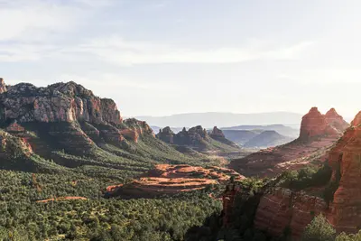
    Arizona is located in the Southwest USA, bordering California, Nevada, Utah, New Mexico, and Mexico. You travel here for the Grand Canyon, the red rock landscapes in the north, and the Sonora Desert with its Saguaro cacti around Phoenix and Tucson.The capital, Phoenix, is also the largest city. The lower-lying south has a desert climate with hot summers, while the Colorado Plateau in the north is cooler and gets snow in winter. The highest peak is Humphreys Peak near Flagstaff, at 3,852 meters. A large part of the northeast is occupied by the Navajo Nation, the largest tribal nation in the USA. Its territory includes Monument Valley and Antelope Canyon.Besides the Grand Canyon, Arizona has two other national parks: Petrified Forest, featuring petrified wood approximately 225 million years old, and Saguaro near Tucson. Sedona is known for its red sandstone formations.
    Downtown and Fremont Street

    Downtown and Fremont Street

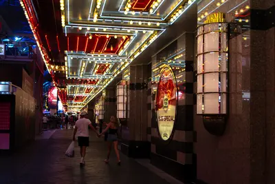
    Downtown is the old Las Vegas: The first casinos were located here, long before resorts grew on the Strip. The Golden Nugget opened in 1946, and even today, casinos line Fremont Street, appearing smaller, louder, and more affordable than their rivals to the south.Since 1995, a roughly 420-meter-long and 27-meter-high barrel vault canopy has spanned four city blocks. The Fremont Street Experience was updated in 2019 with over 49 million LEDs; in the evenings, light and music shows run on it, with bands playing on three stages. Beneath the canopy, people zip past on the SlotZilla zipline. The latest addition is Circa, which opened in 2020, an adults-only hotel with a massive sportsbook and a rooftop pool amphitheater. East of Las Vegas Boulevard, Fremont East begins, featuring bars, the Downtown Container Park, and the neon bar Atomic Liquors.During the day, two museums are worth visiting: The Mob Museum, housed in the former 1933 federal courthouse, tells the story of organized crime, while the Neon Museum displays over 200 decommissioned city signs.Come in the late afternoon, visit one of the museums, and stay for dinner and the first light show. Downtown is more compact than the Strip; almost everything is within walking distance.
    Las Vegas

    Las Vegas

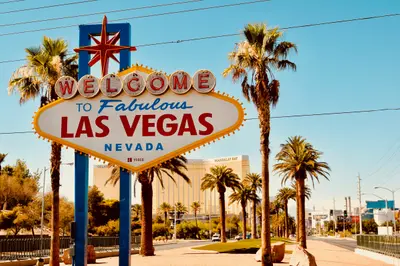
    Las Vegas is located in a basin of the Mojave Desert in Nevada and is connected to Los Angeles via Interstate 15. Founded in 1905, the city is known for its casino resorts and as a starting point for Grand Canyon scenic flights.The approximately 6.8-kilometer long Strip lies outside the city limits in Paradise and Winchester. There, resorts like Bellagio with its freely accessible water fountains, Caesars Palace, and The Venetian are located; the Sphere opened in 2023. The "Welcome to Fabulous Las Vegas" sign from 1959 is a popular photo motif. In Downtown, the Fremont Street Experience has covered five blocks with casinos since 1995, while the Neon Museum displays neon signs outdoors in the Neon Boneyard.Harry Reid International Airport is located just over 3 kilometers from the Strip. Along the resorts, the Monorail with seven stations and the Deuce bus operate; taxis can be taken from hotel stands. In July, average daily highs reach 40 degrees Celsius, and winters are short and mild.
    Arts District

    Arts District

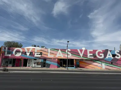
    Between Downtown and the Strip lies the district where Las Vegas looks least like itself: flat commercial buildings, murals, galleries, vintage shops, and breweries instead of casinos. Officially, it's called 18b The Las Vegas Arts District, named for its original 18 blocks. East Charleston Boulevard bisects it, and you'll find most shops and bars on Main Street and Commerce Street.It all began in 1997 with the Arts Factory, when artists moved into vacant spaces. In 2002, antique dealer Cindy Funkhouser launched the First Friday, a monthly art festival that still draws thousands. Since then, theaters, restaurants, and in 2014, Hop Nuts Brewing, the first of many breweries, have joined.By day, browse the shops of Antique Alley on Main Street for Tiki decor, comics, and old Las Vegas souvenirs; pop into the Arts Factory studios and Recycled Propaganda. By evening, it transforms into a nightlife hub: breweries, small cocktail bars, an indie theater, and live music at Swan Dive.The first Friday of the month is the busiest. Following a fatal incident at First Friday in October 2026, the festival's future is under discussion, so check 18b.org beforehand to confirm if and how it's taking place. The district is quieter and more relaxed on weekday afternoons.
    Center and North Strip

    Center and North Strip

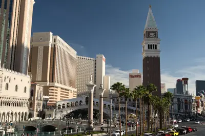
    North of Flamingo Road, the Strip transforms into its most iconic postcard scene: the Roman splendor of 1966's Caesars Palace, the 167-meter-tall High Roller observation wheel at LINQ, the canals and bell tower of the Venetian. Further north, it becomes more spacious, with greater distances between resorts, until the 350-meter-tall STRAT tower concludes the Strip.This area also marks the genesis of modern Las Vegas. The Flamingo opened in 1946 under Bugsy Siegel's direction, and the Wynn was built in 2005 on the legendary Desert Inn's site. The North Strip is a hub for new beginnings: Resorts World opened in 2021 on the former Stardust property, and the Fontainebleau, after years of construction halts, finally in December 2023. Since September 2023, the Sphere illuminates east of the Venetian, its LED exterior visible from much of the city.Much here is free: the flamingos in the Flamingo garden, the gondolas and St. Mark's Square at the Venetian, the Lake of Dreams light show at the Wynn. For a fee, you can ride the observation wheel, ascend to the STRAT's observation deck, or see one of the immersive films in the Sphere.The most beautiful time is dusk: That's when the Sphere changes its displays, and from the High Roller or the STRAT, you can see the Strip light up beneath you.