This journey explores Argentine Patagonia: from Bariloche's Lake District to the Atlantic coast with its whales and penguins, then to the glaciers of Los Glaciares and El Chaltén's hiking trails, ending in Ushuaia on the Beagle Channel. You cover the vast distances with domestic flights.
16 Days / 15 Nights
November–March (for whales along the coast: October–November)
5 stops
Why This Route?
It brings together Patagonia's top natural experiences in just over two weeks, ideal for hikers and wildlife observers.
Hidden Gems
Laguna Nimez in El Calafate, evening
Laguna Torre as a quieter alternative to the Fitz Roy Trail
Senda Costera in Tierra del Fuego National Park
Getting there and back
Round trip, returning to where you started
Arrival
Flight · Buenos Aires Ezeiza (EZE)Continue with a domestic flight from Aeroparque Jorge Newbery to Bariloche. You'll fly between the stops; the El Calafate–El Chaltén route is covered by bus in about three hours.
Departure
Flight · Buenos Aires Ezeiza (EZE)From Ushuaia, you fly back to Buenos Aires. Many connections between the regions run via the capital.
Itinerary
Stop 1 • 3 Nights
San Carlos de Bariloche
City
Route highlight
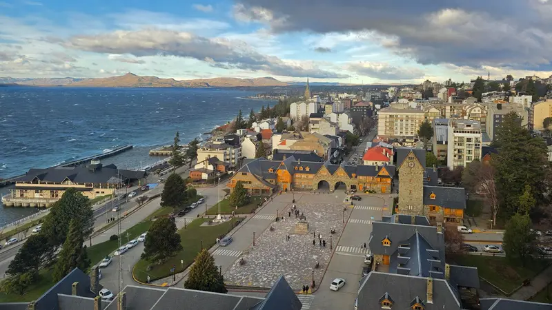
Bariloche is located on the southern shore of Lago Nahuel Huapi, a glacial lake at approximately 700 meters above sea level, and is completely surrounded by Parque Nacional Nahuel Huapi. The park, founded in 1922 and re-established in 1934, is Argentina's oldest. With its alpine-style timber and stone buildings, chocolate shops, and surrounding mountains, the city is considered the gateway to Patagonia and the country's chocolate capital.Its focal point is the Centro Cívico, built of stone and wood and inaugurated in 1940, offering views of the lake. The classic excursion is the Circuito Chico, a roughly 60-kilometer scenic drive around the Llao Llao peninsula, featuring viewpoints over the lakes. Along the way, a chairlift ascends Cerro Campanario, whose panorama is considered one of the most beautiful in the region. In winter, Cerro Catedral is one of South America's largest ski resorts; to the north, the Ruta de los Siete Lagos covers approximately 120 kilometers from Villa La Angostura to San Martín de los Andes.
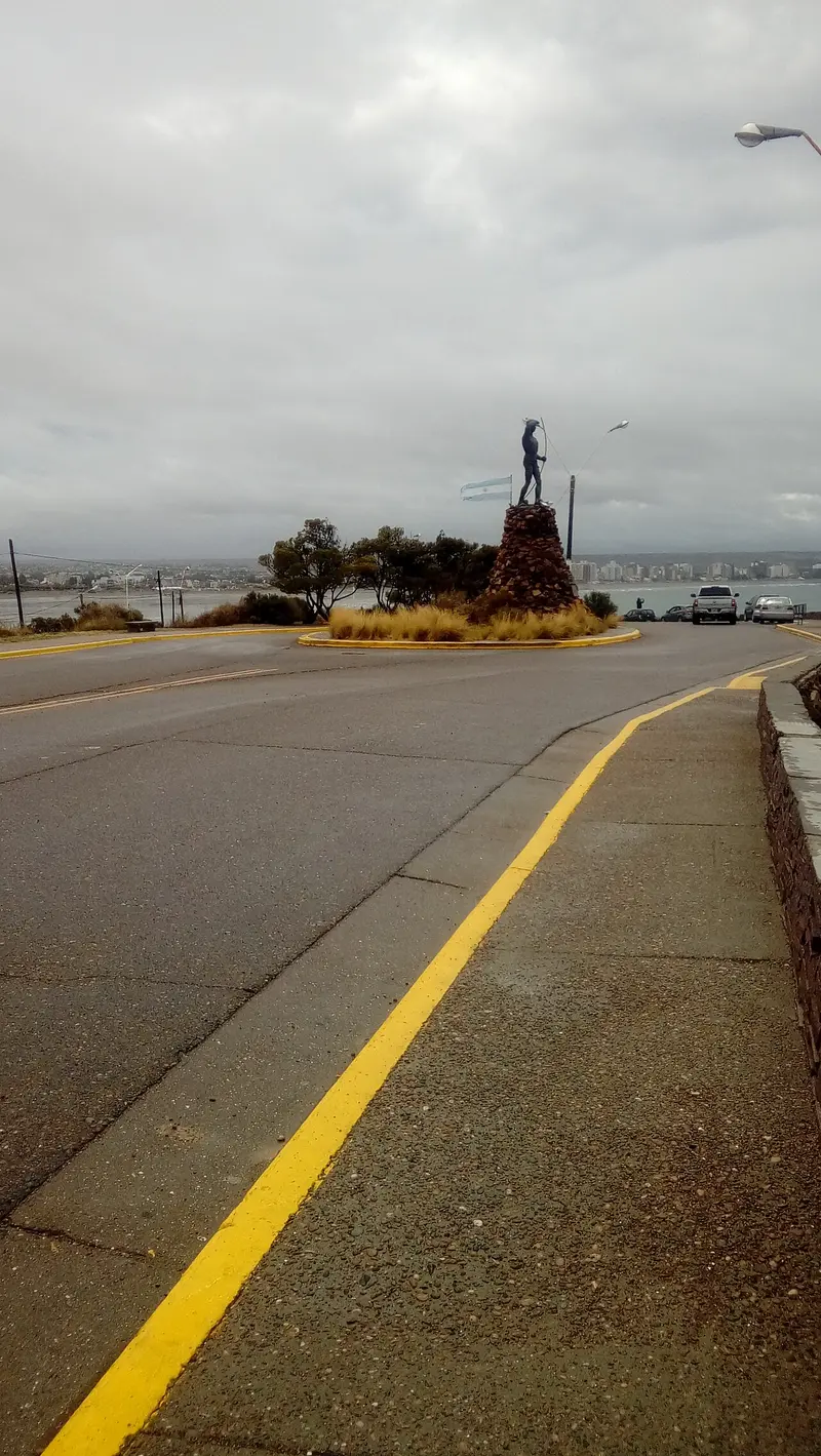
Puerto Madryn is sheltered by Golfo Nuevo and serves as the main gateway to Península Valdés. On July 28, 1865, approximately 150 Welsh immigrants landed here aboard the sailing ship Mimosa; their legacy endures in street names and the Welsh tea houses of nearby Gaiman. Today, Madryn is a coastal city with a long waterfront promenade.On the headland above the city, the Ecocentro features exhibitions about the Patagonian sea. About two hours' drive south lies Punta Tombo, home to one of the largest colonies of Magellan penguins. Puerto Pirámides, on the peninsula, is about an hour and a half away by bus. Most travelers fly into Trelew, approximately 50 kilometers south.
Day trip to Península Valdés; Whale season June to December
El Calafate is located on the southern shore of Lago Argentino, Argentina's largest lake, between dry, windy steppe and the Southern Patagonian Ice Field. This compact town is the most important base for the Perito Moreno Glacier, about 80 kilometers to the west, and for boat trips to the Upsala and Spegazzini glaciers, which depart from Punta Bandera port, about 47 kilometers outside.On the edge of town is the Laguna Nimez Bird Sanctuary, with flamingos and black-necked swans; a few kilometers outside, the Glaciarium exhibition center explains the world of ice. The airport is located about 20 kilometers to the east and offers connections to Buenos Aires and Ushuaia. Intercity buses travel in about three hours to El Chaltén and in five to six hours to Chilean Puerto Natales. Stock up here before continuing to El Chaltén: the supermarkets are better stocked and more affordable.
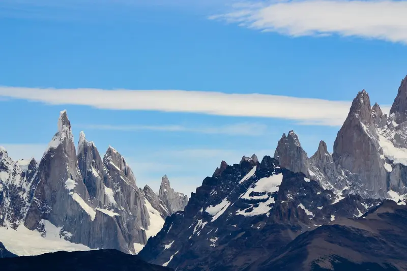
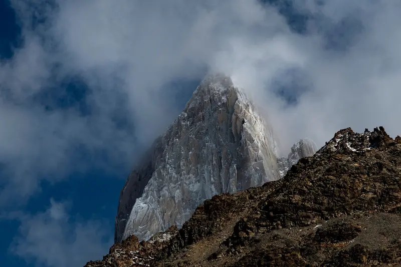
El Chaltén was only founded in 1985, partly to secure territorial claims in the border region then disputed with Chile, and is today, by law, the "National Trekking Capital". This small village with hostels, breweries, and gear shops is located in the northern part of the Parque Nacional Los Glaciares, directly beneath the Fitz Roy massif, and the hiking trails start at the edge of town.The best-known day hike leads to Laguna de los Tres at the foot of Fitz Roy: approximately 20 to 24 kilometers round trip, eight to ten hours, with a very steep final ascent over loose rock. The trail to Laguna Torre beneath Cerro Torre is somewhat easier, at approximately 18 to 20 kilometers. For shorter excursions, the Mirador de los Cóndores above the village and Laguna Capri are suitable. The weather changes quickly: Bring wind and rain protection and turn back if wind or clouds increase on the final ascent.
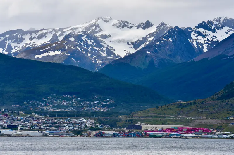
Ushuaia stretches as a narrow strip along the northern shore of the Beagle Channel, squeezed between the water and the mountains of the Sierra Martial. The city owes its origin to a prison: From 1902, prisoners built the Presidio, which was in operation until 1947. Today it houses the Museo Marítimo y del Presidio with exhibitions on the penal colony, maritime history, and Antarctica.The most popular excursion is a boat trip on the Beagle Channel to the islands with sea lions and seabirds and to the red-and-white Les Eclaireurs Lighthouse. Approximately twelve kilometers west lies the Tierra del Fuego National Park. The End of the World Train also runs there, a narrow-gauge railway on a section of the former prisoner's railway, which prisoners used to transport wood from the forests. Ushuaia is also the main departure port for cruises to Antarctica.