Fernweh: Home
    ExploreTravel GuidesPlan a tripMy tripLast visited
    de|en
    All Places & RegionsAll highlightsAbout FernwehFAQPrivacy PolicyImprint
    ExploreTravel GuidesPlan a tripMy tripLast visited
    • Neighborhoods & highlights
    • Recommendations
    • Eat & drink
    • Accommodation
    • Plan trip
    • Nearby
    San Carlos de Bariloche

    Argentina

    San Carlos de Bariloche

    City

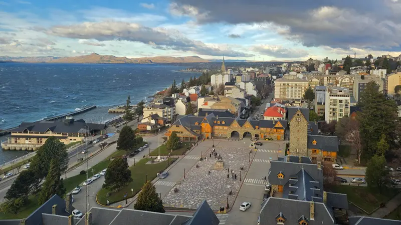
    Bariloche is located on the southern shore of Lago Nahuel Huapi, a glacial lake at approximately 700 meters above sea level, and is completely surrounded by Parque Nacional Nahuel Huapi.

    by Felix Gillen

    1. Home
    2. Destinations
    3. Argentina
    4. Lake District and Bariloche
    5. San Carlos de Bariloche
    Bariloche is located on the southern shore of Lago Nahuel Huapi, a glacial lake at approximately 700 meters above sea level, and is completely surrounded by Parque Nacional Nahuel Huapi. The park, founded in 1922 and re-established in 1934, is Argentina's oldest. With its alpine-style timber and stone buildings, chocolate shops, and surrounding mountains, the city is considered the gateway to Patagonia and the country's chocolate capital.Its focal point is the Centro Cívico, built of stone and wood and inaugurated in 1940, offering views of the lake. The classic excursion is the Circuito Chico, a roughly 60-kilometer scenic drive around the Llao Llao peninsula, featuring viewpoints over the lakes. Along the way, a chairlift ascends Cerro Campanario, whose panorama is considered one of the most beautiful in the region. In winter, Cerro Catedral is one of South America's largest ski resorts; to the north, the Ruta de los Siete Lagos covers approximately 120 kilometers from Villa La Angostura to San Martín de los Andes.

    Sights in San Carlos de Bariloche

    Discover the most important sights and attractions

    Cerro Campanario

    1Cerro Campanario

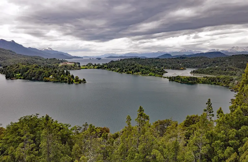
    A chairlift on Avenida Bustillo, about 17 kilometers west of the city center, takes you to the summit of Cerro Campanario. The panoramic view over Nahuel Huapi and Moreno lakes, the Llao Llao Peninsula, and the surrounding peaks is among the most beautiful in the region.
    Open in Google Maps
    Civic Center

    2Civic Center

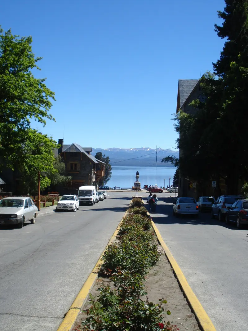
    The square, inaugurated in 1940, with its natural stone and wooden buildings, is the heart of Bariloche and opens onto Lago Nahuel Huapi. It houses the City Hall, Tourist Information, and National Park administration. Behind the square lies a handicraft market, and from here, city tours and buses to the Circuito Chico depart.
    Open in Google Maps
    Circuito Chico

    3Circuito Chico

    The roughly 60-kilometer loop leads west of Bariloche through forest and along bays around the Llao Llao peninsula. Along the way are viewpoints like the Punto Panorámico and the chairlift to Cerro Campanario. You can travel the route by car, bicycle, or the local bus departing from behind the Centro Cívico.
    Open in Google Maps
    Cerro Catedral

    4Cerro Catedral

    Southwest of the city lies one of South America's largest ski resorts. The season typically runs from mid-June to September. In summer, the mountain is a starting point for hikes, including the about six-hour high-altitude trail to Cerro Campanario.
    Open in Google Maps

    Restaurants in San Carlos de Bariloche

    Accommodations in San Carlos de Bariloche

    Find perfect stay in San Carlos de Bariloche

    Booking.com* (Affiliate link)
    Search Hotels
    Agoda* (Affiliate link)
    Search Hotels
    Airbnb
    Vacation Rentals

    * Affiliate link: if you book through it, we earn a small commission. The price stays the same for you.

    Plan your trip to San Carlos de Bariloche

    Save places, build a route and plan your city trip, all in one place.

    1. 1
      Sunrise over alpine peaks and a sea of clouds
      1234

      Round trip

      12 days · 4 stops

      Saved

      Pick a route

      Pick a ready-made one or save places and plan your own.

      Open bookmarks
    2. 2

      Trip to San Carlos de Bariloche

      Live
      • 1Cerro Campanario3 days
      • 2Civic Center4 days
      • 3Circuito Chico5 days
      Budget

      Plan your trip

      The planner sorts stops, days and budget. Plan together in real time.

      Start trip planning
    3. 3
      9:41 No signal
      San Carlos de Bariloche
      Available offline

      Use it on the road

      Download the guide to your phone and use it on site, even offline.

    Nearby

    Lake District and Bariloche

    Lake District and Bariloche

    In northern Patagonia, glacial lakes, forests, and snow-capped peaks line up at the foot of the Andes. The heart of the region is Parque Nacional Nahuel Huapi, Argentina's oldest national park, with the city of San Carlos de Bariloche on its namesake lake. In summer, hiking trails, boat trips, and scenic routes like the Ruta de los Siete Lagos beckon; in winter, the ski resorts.
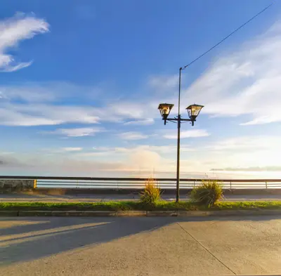
    National Park Vicente Pérez Rosales

    National Park Vicente Pérez Rosales

    Vicente Pérez Rosales National Park is Chile's oldest, stretching from Osorno Volcano to the Argentine border. Most visitors come for the Saltos del Petrohué and the turquoise-green Lago Todos los Santos, plus hiking trails through rainforest and lava fields.
    Puerto Varas

    Puerto Varas

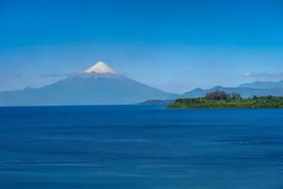
    Puerto Varas is a small town on Lago Llanquihue in the south of the Chilean Lake District, characterized by wooden houses from the period of German immigration. On clear days, the Osorno and Calbuco volcanoes rise above the lake, and most of the region's attractions can be reached from here as a day trip.
    Lake Region

    Lake Region

    The Chilean Lake District stretches from Lago Villarrica in La Araucanía through Los Ríos to Lago Llanquihue, Chiloé Island, and the start of the Carretera Austral in Los Lagos. Volcanoes like Villarrica and Osorno, temperate rainforest, wooden houses from the German immigration era, and the wooden churches of Chiloé define the region.
    Frutillar

    Frutillar

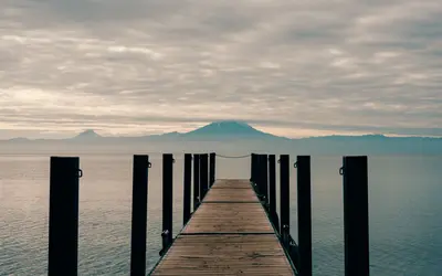
    Frutillar is located on the west shore of Lago Llanquihue and is known for the wooden houses of the German settlers in Frutillar Bajo and the Teatro del Lago directly on the water. On a clear day, Osorno Volcano stands directly opposite on the other side of the lake.

    Sources & method

    • Photos: Wikimedia Commons, Pexels. Each photo carries its credit.
    • The content is based on web research from public, traceable sources. How the content is made · The role of AI