Fernweh: Home
    ExploreTravel GuidesPlan a tripMy tripLast visited
    de|en
    All Places & RegionsAll highlightsAbout FernwehFAQPrivacy PolicyImprint
    ExploreTravel GuidesPlan a tripMy tripLast visited
    Parque Nacional Natural Tayrona
    David Shankbone / Wikimedia Commons / CC BY-SA 3.0

    Colombia

    Parque Nacional Natural Tayrona

    Point of Interest

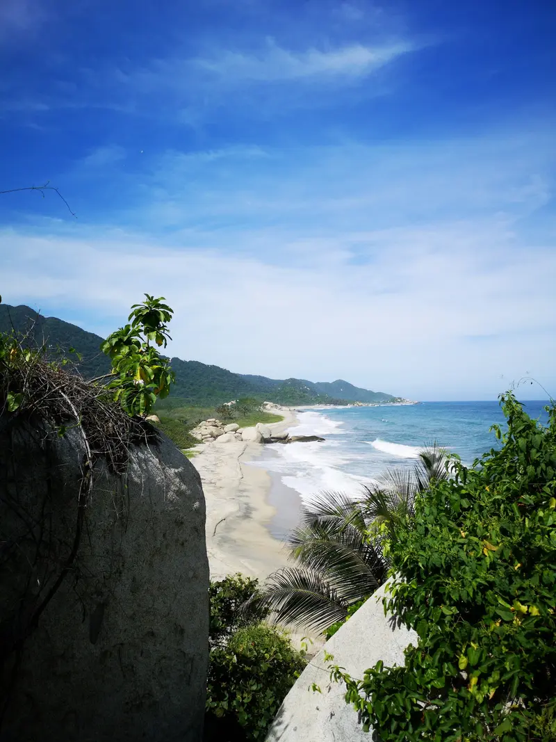
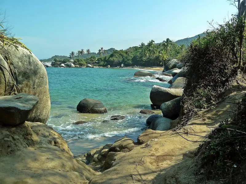
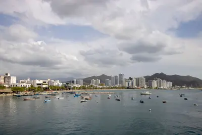
    Tayrona National Park is located about 34 kilometers east of Santa Marta, where the Sierra Nevada directly meets the Caribbean Sea.

    by Felix Gillen

    1. Home
    2. Destinations
    3. Colombia
    4. Santa Marta & Sierra Nevada
    5. Parque Nacional Natural Tayrona
    Tayrona National Park is located about 34 kilometers east of Santa Marta, where the Sierra Nevada directly meets the Caribbean Sea. You come for bays between granite cliffs and rainforest, for hiking trails to Cabo San Juan and the ruins of Pueblito. The park closes completely three times a year.

    Sights in Parque Nacional Natural Tayrona

    Discover the most important sights and attractions
    Playa La Piscina, PNN Tayrona
    Beach

    1Playa La Piscina, PNN Tayrona

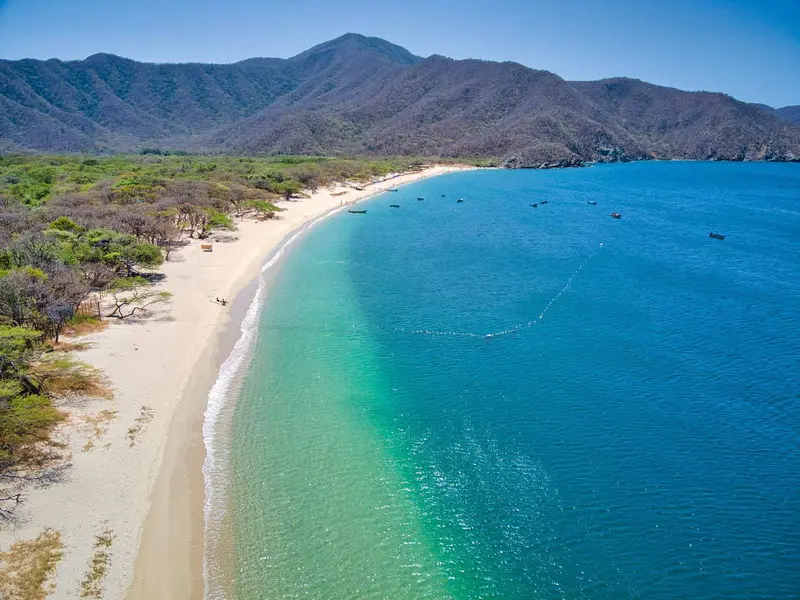
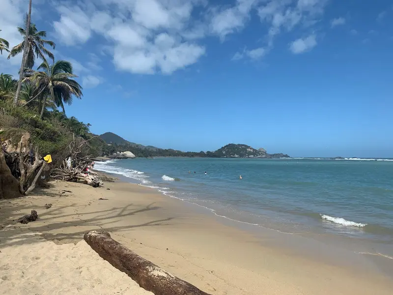
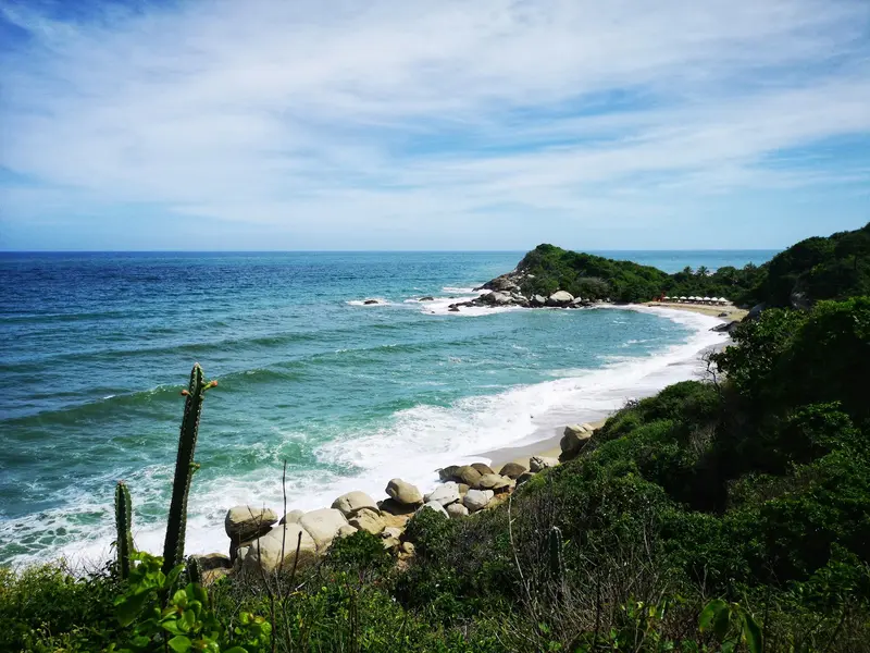
    The bay near Arrecifes is protected by an offshore reef. It is one of the few places in the park where swimming is possible.
    Open in Google Maps
    Cabo San Juan del Guia

    2Cabo San Juan del Guia

    The most remote and most visited sector of the park lies at the end of the coastal path from El Zaíno. There are accommodations and restaurants, allowing you to stay overnight here.
    Open in Google Maps
    Playa Arrecifes, PNN Tayrona
    Attraction

    3Playa Arrecifes, PNN Tayrona

    Arrecifes, on the coastal path to Cabo San Juan, has lodging and meals. Strong waves make bathing here dangerous.
    Open in Google Maps
    Pueblito Chairama

    4Pueblito Chairama

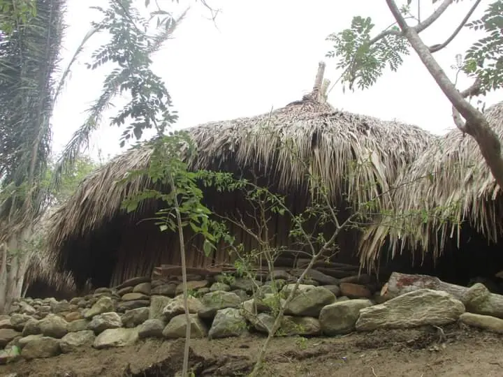
    Tayrona archaeological site with ruins and a small museum. The route ascends from Calabazo trailhead.
    Open in Google Maps
    Concha Bay Entrance
    Attraction

    5Concha Bay Entrance

    The bay in the west of the park is closest to Santa Marta and has its own, cheaper entrance fee. It also remained open when the eastern land accesses were closed in 2026.
    Open in Google Maps

    Restaurants in Parque Nacional Natural Tayrona

    Food & Drink in Parque Tayrona

    The National Park has simple restaurants at beaches and campsites, like Arrecifes and Cabo San Juan del Guía. Caribbean home-style fish dishes are served.
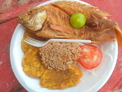
    Fish with patacones and coconut rice

    Fish with patacones and coconut rice

    Fish with patacones, coconut rice, and salad is the staple dish at park restaurants. Prices vary considerably by location.

    The whole fried fish

    Whole fried fish is on almost every menu in the park. Besides, there are chicken, meat, and vegetarian dishes.
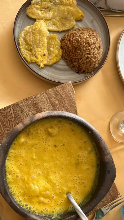
    Cazuela de mariscos

    Cazuela de mariscos

    Seafood in a coconut sauce, available at some restaurants in the park. It's a classic from the Santa Marta coast.

    Closing Times and Rules 2026

    Under the Respira Tayrona program, coordinated with the Arhuaco, Kogui, Wiwa, and Kankuamo communities, the park closes three times a year. In 2026: February 1-15, June 1-15, and October 19 to November 2, reopening on November 3. During these periods, there is no access or services.Additionally, from February 17, 2026, the park was closed by Resolution 091 due to the security situation, reopening on March 5 with increased police presence. After the June closure, land access points Calabazo and Zaíno remained temporarily closed, while Bahía Concha, Neguanje, and the sea route remained open. Before visiting, check which access points are currently open.Entry 2026 (Foreigners): 81,000 COP in low season, 96,500 COP in high season, for Bahía Concha 43,500 COP (Resolution 551 of December 19, 2025).Mandatory Insurance: Accident insurance from a Parques Nacionales-approved provider is mandatory and not included in the entry fee.Tickets: Tickets are available at the access point ticket offices; they may sell out during high season. Check with Parques Nacionales Naturales beforehand to see if online purchase is possible.

    Arrival and Access

    El Zaíno: Main access point on the coastal road from Santa Marta to Palomino; from here, the path leads via Cañaveral and Arrecifes to Cabo San Juan. Buses heading to Palomino from Santa Marta market stop here; the journey takes a good 30 minutes.Calabazo: Access point on the same road; from here, the path ascends to Pueblito.Palangana and Bahía Concha: Access points to the western bays of Neguanje and Bahía Concha.Boat: Boats depart from Santa Marta, El Rodadero, and Taganga into the park.Opening Hours: Details vary depending on the access point and season. Check them with Parques Nacionales Naturales before your visit.

    Accommodations in Parque Nacional Natural Tayrona

    Find perfect stay in Parque Nacional Natural Tayrona

    Booking.com* (Affiliate link)
    Search Hotels
    Agoda* (Affiliate link)
    Search Hotels
    Airbnb
    Vacation Rentals

    * Affiliate link: if you book through it, we earn a small commission. The price stays the same for you.
    Nearby

    Minca

    Minca

    Minca is a small mountain village in the foothills of the Sierra Nevada, about 45 minutes from Santa Marta. You come for waterfalls to swim in, coffee farms, birdwatching, and hikes with views over the coast. The village has fewer than 1,000 inhabitants and today thrives mainly on hostels and lodges.
    Santa Marta

    Santa Marta

    Santa Marta is the capital of the Magdalena Department on the Caribbean coast and Colombia's oldest surviving city, founded in 1525 by Rodrigo de Bastidas. You come here as a starting point for Tayrona National Park, Minca, and the Ciudad Perdida. The city has around half a million inhabitants; highlights include the colonial center with the Gold Museum, as well as the beach districts of Taganga and El Rodadero.
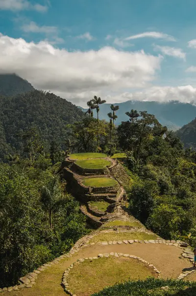
    Ciudad Perdida

    Ciudad Perdida

    Ciudad Perdida, called Teyuna by the indigenous peoples, is a Tayrona settlement in the Sierra Nevada rainforest, accessible only via a multi-day trek from Santa Marta. You come for the terraced structures at 900 to 1,300 meters and the journey through forests and river valleys. The city originated around the 8th century and was explored by archaeologists in 1976.
    Palomino

    Palomino

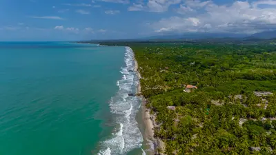
    Palomino is a small coastal town on the Caribbean coast, about 90 minutes to 2 hours east of Santa Marta, already within the La Guajira Department. Here you can enjoy tubing on the Río Palomino, discover waterfalls in the hinterland, and relax on a long, wild palm-fringed beach. The town has around 2,500 inhabitants and numerous hostels.
    Santa Marta & Sierra Nevada

    Santa Marta & Sierra Nevada

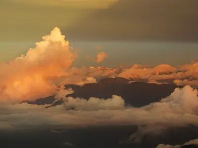
    The region around Santa Marta connects the Caribbean coast with the Sierra Nevada de Santa Marta, whose highest peak is only about 42 kilometers from the sea. You travel here for the bays of Tayrona National Park, the mountain village of Minca, the trek to Ciudad Perdida, and the beach town of Palomino. Santa Marta is the starting point for all these destinations.

    Sources & method

    • Photos: Wikimedia Commons, Google Maps. Each photo carries its credit.
    • Place data such as addresses and ratings comes from Google Maps.
    • The content is based on web research from public, traceable sources. How the content is made · The role of AI