Fernweh: Home
    ExploreTravel GuidesPlan a tripMy tripLast visited
    de|en
    All Places & RegionsAll highlightsAbout FernwehFAQPrivacy PolicyImprint
    ExploreTravel GuidesPlan a tripMy tripLast visited
    Ciudad Perdida
    Giancarlos1234 / Wikimedia Commons / CC BY-SA 4.0

    Colombia

    Ciudad Perdida

    Point of Interest

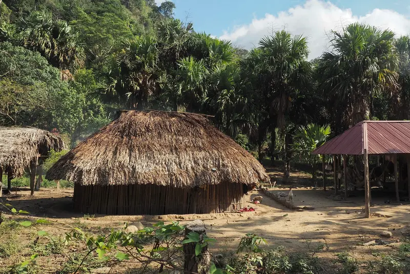
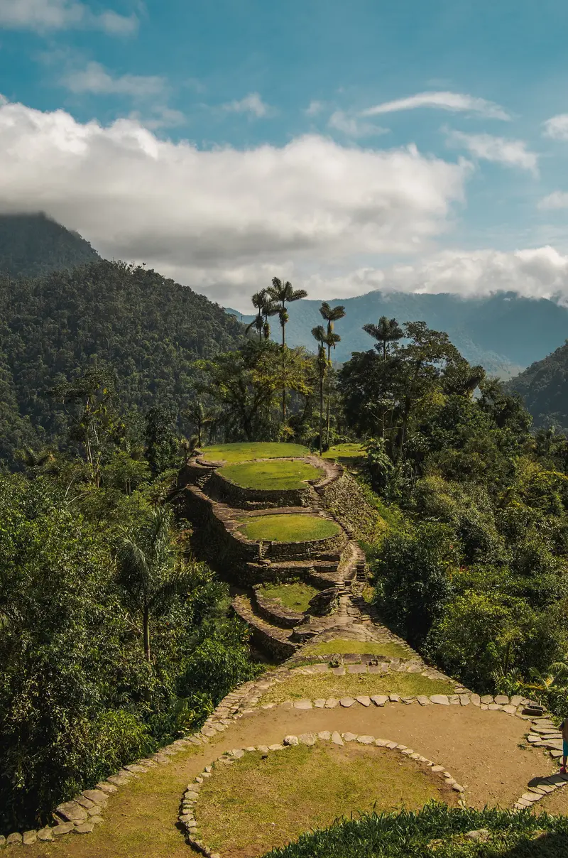
    Ciudad Perdida, called Teyuna by the indigenous peoples, is a Tayrona settlement in the Sierra Nevada rainforest, accessible only via a multi-day trek from Santa Marta.

    by Felix Gillen

    1. Home
    2. Destinations
    3. Colombia
    4. Santa Marta & Sierra Nevada
    5. Ciudad Perdida
    Ciudad Perdida, called Teyuna by the indigenous peoples, is a Tayrona settlement in the Sierra Nevada rainforest, accessible only via a multi-day trek from Santa Marta. You come for the terraced structures at 900 to 1,300 meters and the journey through forests and river valleys. The city originated around the 8th century and was explored by archaeologists in 1976.

    Sights in Ciudad Perdida

    Discover the most important sights and attractions
    Río Buritaca
    Natural Feature

    1Río Buritaca

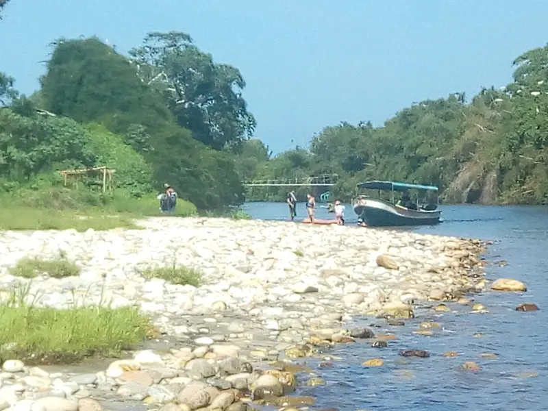
    The Ciudad Perdida lies on the right bank of the Río Buritaca. The river accompanies the last part of the trek.
    Open in Google Maps
    Stairway of the Lost City
    Historic Landmark

    2Stairway of the Lost City

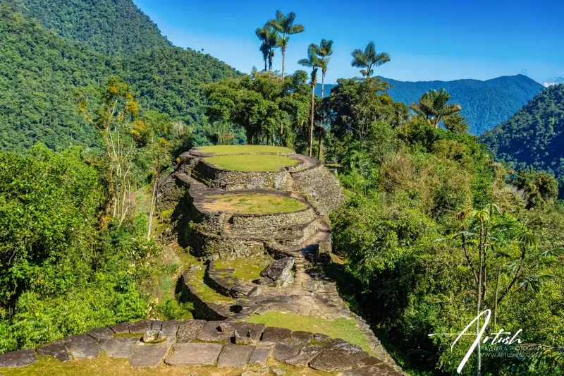
    The settlement features numerous stone terraces on the slope above the Río Buritaca, where houses once stood. It lies at an altitude of 900 to 1,300 meters.
    Open in Google Maps
    Pueblo Mutanyi
    Point of Interest

    3Pueblo Mutanyi

    Kogui settlement on the trek to Ciudad Perdida, which many groups pass on the second day. The Kogui have lived for centuries in these valleys of the Sierra Nevada de Santa Marta. The spelling varies depending on the source (Mutanyi, Mutanshi).
    Open in Google Maps

    Restaurants in Ciudad Perdida

    Food & Drink on the Way to Ciudad Perdida

    On the multi-day trek there are no restaurants; meals are cooked by the tour operator teams in the camps. The food is simple, satisfying, and rich in carbohydrates.

    Rice, Beans, and Meat

    For lunch and dinner, there's usually chicken, meat or fish with rice, beans and a little salad. With most providers, meals are included in the price; check this before booking.
    Fresh Fruit

    Fresh Fruit

    En route, guides provide tropical fruit, often large pieces of watermelon. They're offered at viewpoints and during breaks.

    Coffees and Hot Chocolates

    For breakfast, there are eggs, juice, fresh fruit, and coffee or hot chocolate. At simple stands along the path, you can buy cold drinks and chocolate.

    Teyuna and the Tayrona

    The Tayrona established the settlement around the 8th century and abandoned it around 1650. Grave robbers discovered the site in the 1970s; an expedition led by Gilberto Cadavid and Luisa Fernanda Herrera explored it starting in 1976.For the Kogui, Wiwa, Arhuaco, and Kankuamo, Teyuna is a sacred place. The site lies within the Resguardo Kogui-Malayo-Arhuaco and is managed by the state institute ICANH as an archaeological park.

    Trek and Rules

    Agency Only: Access solely through ICANH-authorized agencies from Santa Marta. Hiking independently is not permitted; a certified guide is included in the price.Duration: 4, 5, or 6 days on the same route; the 4-day trek covers approximately 14 kilometers per day with steep ascents and descents.Included in Price: Transfer from Santa Marta, meals, camps with beds or hammocks, and park entrance fee.Ascent: You reach the terraces via approximately 1,200 stone steps.Closure: The park closes annually by decision of the indigenous authorities. ICANH sets the dates each year by resolution; ask your agency for the current schedule.On-site Opening Hours: 7 AM to 3 PM.Best Time: The dry season from December to March.

    Accommodations in Ciudad Perdida

    Find perfect stay in Ciudad Perdida

    Booking.com* (Affiliate link)
    Search Hotels
    Agoda* (Affiliate link)
    Search Hotels
    Airbnb
    Vacation Rentals

    * Affiliate link: if you book through it, we earn a small commission. The price stays the same for you.
    Nearby

    Minca

    Minca

    Minca is a small mountain village in the foothills of the Sierra Nevada, about 45 minutes from Santa Marta. You come for waterfalls to swim in, coffee farms, birdwatching, and hikes with views over the coast. The village has fewer than 1,000 inhabitants and today thrives mainly on hostels and lodges.
    Parque Nacional Natural Tayrona

    Parque Nacional Natural Tayrona

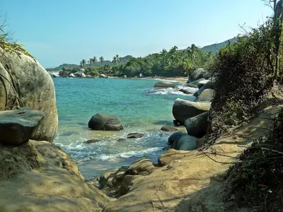
    Tayrona National Park is located about 34 kilometers east of Santa Marta, where the Sierra Nevada directly meets the Caribbean Sea. You come for bays between granite cliffs and rainforest, for hiking trails to Cabo San Juan and the ruins of Pueblito. The park closes completely three times a year.
    Santa Marta & Sierra Nevada

    Santa Marta & Sierra Nevada

    The region around Santa Marta connects the Caribbean coast with the Sierra Nevada de Santa Marta, whose highest peak is only about 42 kilometers from the sea. You travel here for the bays of Tayrona National Park, the mountain village of Minca, the trek to Ciudad Perdida, and the beach town of Palomino. Santa Marta is the starting point for all these destinations.
    Santa Marta

    Santa Marta

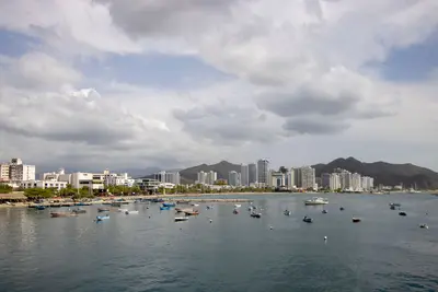
    Santa Marta is the capital of the Magdalena Department on the Caribbean coast and Colombia's oldest surviving city, founded in 1525 by Rodrigo de Bastidas. You come here as a starting point for Tayrona National Park, Minca, and the Ciudad Perdida. The city has around half a million inhabitants; highlights include the colonial center with the Gold Museum, as well as the beach districts of Taganga and El Rodadero.
    Palomino

    Palomino

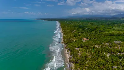
    Palomino is a small coastal town on the Caribbean coast, about 90 minutes to 2 hours east of Santa Marta, already within the La Guajira Department. Here you can enjoy tubing on the Río Palomino, discover waterfalls in the hinterland, and relax on a long, wild palm-fringed beach. The town has around 2,500 inhabitants and numerous hostels.

    Sources & method

    • Photos: Wikimedia Commons, Google Maps. Each photo carries its credit.
    • Place data such as addresses and ratings comes from Google Maps.
    • The content is based on web research from public, traceable sources. How the content is made · The role of AI