Fernweh: Home
ExploreGuideDestinationsMy tripsMy trip
de|en
All Places & RegionsRound tripsNight trains in EuropeAll highlightsAbout FernwehFAQPrivacy PolicyImprint
Download on the App StoreGet it on Google Play
ExploreGuideDestinationsMy tripsMy trip
    • Places & highlights
    • Tours
    • Eat & drink
    • Culture
    • Getting around
    • Accommodation
    • Nearby
    Volcán Barú National Park

    FranHogan / Wikimedia Commons / CC BY-SA 4.0, mod.

    Panama

    Volcán Barú National Park

    Point of Interest

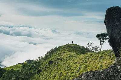
    Volcán Barú, between Boquete and Volcán in the Chiriquí Highlands, is Panama's highest point at 3,474 m. You ascend it because from the summit on clear days you can see both the Pacific and the Caribbean.

    by Felix Gillen

    1. Home
    2. Destinations
    3. Panama
    4. Boquete
    5. Volcán Barú National Park
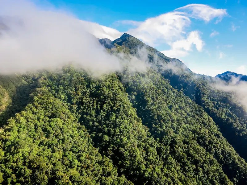
    Volcán Barú, between Boquete and Volcán in the Chiriquí Highlands, is Panama's highest point at 3,474 m. You ascend it because from the summit on clear days you can see both the Pacific and the Caribbean.The National Park encompasses cloud forest on the volcano's slopes. Here lives the Quetzal, which you are most likely to see between February and May. On the lower slopes are the cultivation areas of Boquete and Cerro Punta.The main trail to the summit begins above Boquete; from the west, a more difficult trail leads up from Paso Ancho near Volcán. The Sendero Los Quetzales connects Boquete with Cerro Punta on the north side of the volcano.
    Panama travel guideRound trips in PanamaPlan a trip with Volcán Barú National Park

    Contents

    • Places & highlights
    • Tours
    • Eat & drink
    • Culture
    • Getting around
    • Accommodation
    • Nearby

    Sights in Volcán Barú National Park

    Discover the most important sights and attractions

    Park

    1Sendero Los Quetzales

    This nearly 10 km long trail through cloud forest connects Cerro Punta on the north side of the volcano with Boquete and is known for Quetzal sightings, especially during the dry season. From Cerro Punta, it's mostly downhill. Following a closure due to severe weather, the trail has been reopened since November 28, 2025, but MiAmbiente temporarily closes it during heavy rain or wind. Check the status before setting off.
    Open in Google Maps
    Summit of Volcán Barú

    Mega mind01 / Wikimedia Commons / CC BY-SA 4.0, mod.

    Natural Feature

    2Summit of Volcán Barú

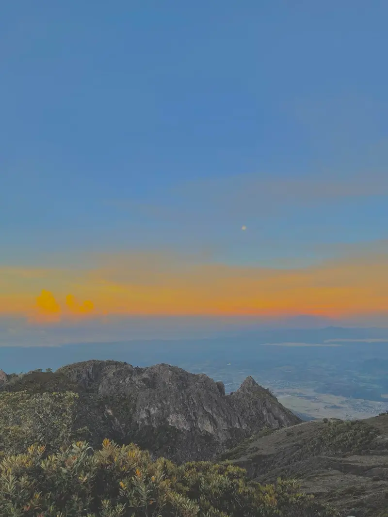
    At 3,474 m, the summit is Panama's highest point; with clear views, you'll see the Pacific and Caribbean from here. The path from the ranger station above Boquete is roughly 13 km each way. Many start at night to experience the sunrise at the top. It's very cold up there.
    Open in Google Maps

    Tours & experiences in Volcán Barú National Park

    Search tours for Volcán Barú National Park on GetYourGuide* (Affiliate link)On GetYourGuide, with reviews from other travellers

    * Affiliate link: if you book through it, we earn a small commission. The price stays the same for you.

    Restaurants in Volcán Barú National Park

    Peak, Two Oceans

    The ViewFrom the summit, you'll see both oceans on a clear day. Often, though, clouds cover the peak, so many begin their climb at night to be at the top for sunrise.Cloud Forest and QuetzalSendero Los Quetzales is one of the country's most renowned trails for birdwatching. The Quetzal is particularly visible here during the dry season.

    Ascent, Trails and Rules

    Summit from BoqueteThe trail from the ranger station above Boquete is about 13 km each way and better marked than the western route. Allow 5 to 6 hours up and 4 to 5 hours down. Many hikers set off around midnight to reach the summit for sunrise. It is very cold at the top, so bring warm clothing.Western accessThe trail from the Paso Ancho checkpoint near Volcán is considered difficult and takes up to 8 hours. The Sendero Los Quetzales is just under 10 km long and links Cerro Punta with Boquete.Rules and statusYou register at a checkpoint before entering. The entrance fee is paid to MiAmbiente; current rates are on the booking portal reservasap.miambiente.gob.pa. MiAmbiente closes the park and trails temporarily during heavy rain or strong wind. The Sendero Los Quetzales has been open again since 28 November 2025 after a closure, and in May 2026 the Camino de Camiseta was briefly closed. Check the status before you set off and see the FCDO Travel Advice on natural hazards.

    Accommodations in Volcán Barú National Park

    Find perfect stay in Volcán Barú National Park

    Booking.com* (Affiliate link)
    Search Hotels
    Agoda* (Affiliate link)
    Search Hotels
    Airbnb
    Vacation Rentals

    * Affiliate link: if you book through it, we earn a small commission. The price stays the same for you.

    Nearby

    Boquete

    Boquete

    Boquete is located in a green valley on the slopes of Volcán Barú in the Chiriquí Highlands, approximately 40 km north of David. You come for the cool mountain climate, the hiking trails in the cloud forest, and the coffee, including the Geisha variety.The town stretches along the Río Caldera. Bajo Boquete with the main square is the center; north of it, around Los Naranjos, are the coffee areas and the access to Volcán Barú National Park.Every year in January, the Feria de las Flores y del Café takes place here, with its 53rd edition in 2026 from January 7 to 18.

    Cristhian Carreño·Unsplash

    Bocas del Toro

    Bocas del Toro

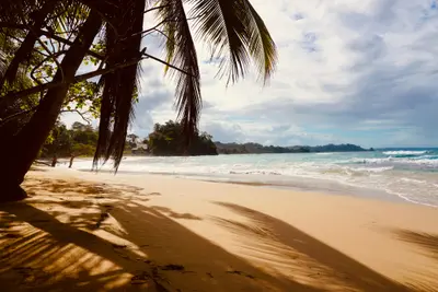
    Bocas del Toro is an archipelago of forested islands and many small cays on the Caribbean coast of north-western Panama, near the Costa Rican border. You come for the beaches, the coral reefs of Isla Bastimentos National Marine Park and the laid-back island villages linked by water taxis.The three main islands are Isla Colón with the main town, Bocas Town, Isla Carenero just opposite, and Isla Bastimentos with the Afro-Caribbean village of Old Bank. Much of Bastimentos and the Cayos Zapatilla belong to the Parque Nacional Marino Isla Bastimentos, established in 1988.On Playa Larga on Bastimentos, sea turtles nest roughly from April to September. On the mainland are the port of Almirante and the border crossing to Costa Rica at Guabito. For crime in Bocas del Toro, see the FCDO Travel Advice for Panama.

    Azzedine Rouichi·Unsplash

    Bocas Town (Isla Colón)

    Bocas Town (Isla Colón)

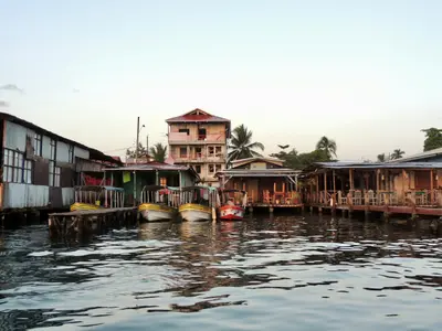
    Bocas Town is the main settlement on Isla Colón and the heart of the Bocas del Toro archipelago, about half an hour by water taxi from the mainland port of Almirante. You'll stay here because water taxis depart from the docks to almost all islands, beaches, and reefs.Life centers around Calle 3, the main street, and Parque Simón Bolívar. Many restaurants and bars are built on stilts over the water, and the small airport is just a few blocks from the center.Via the island road, you can reach Playa Bluff on the east coast and Boca del Drago with Playa Estrella in the northwest.

    Camilo Pinaud·Unsplash

    Puerto Jiménez

    Puerto Jiménez

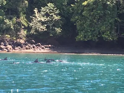
    Puerto Jiménez is the largest town on the Osa Peninsula, located on its eastern side along the Golfo Dulce in Costa Rica's South Pacific. You come here as a starting point for Corcovado National Park and for boat tours on the gulf, where dolphins live and humpback whales give birth to their young.The town isn't a destination itself, but a practical supply hub with supermarkets, sodas, tour operators, and a small airfield. In the early 20th century, farmers and gold prospectors settled here, and with the establishment of Corcovado National Park, Puerto Jiménez transformed into a hub for nature-based tourism.From here, tours depart to the park entrances La Leona and El Tigre, as well as boat trips to Sirena. On the Golfo Dulce, you can observe dolphins, kayak through mangroves, or embark on night tours with bioluminescent plankton.At the southern tip of the peninsula, about an hour's drive away, lies Cabo Matapalo with several surf spots for experienced surfers. The calm Playa Platanares beach, south of the airfield, is suitable for swimming.

    Editorofthewiki·CC BY-SA 4.0

    Puerto Viejo de Talamanca

    Puerto Viejo de Talamanca

    Puerto Viejo de Talamanca is a surf and beach town on Costa Rica's southern Caribbean coast, close to the Panama border and about four to four and a half hours' drive from San José. You come here for the beaches between Cocles and Manzanillo, for rainforest right on the coast, and for the Afro-Caribbean influenced cuisine.The town belongs to the Talamanca canton in Limón Province. Locals usually just say "Puerto Viejo"; do not confuse it with Puerto Viejo de Sarapiquí in the north of the country. In front of the town center, the Salsa Brava wave breaks over a reef, considered one of the most powerful in the country and reserved for experienced surfers.To the southeast, Playa Cocles, Playa Chiquita, and Punta Uva line up, and at the end of the road lies the fishing village of Manzanillo on the edge of the Gandoca-Manzanillo Wildlife Refuge. The small town beach, Playa Puerto Viejo, with its natural rock pools, is suitable for families; some other beaches have strong currents. To the north lies Cahuita National Park.Beyond the beach, cocoa tours, a visit to the Jaguar Rescue Center, and excursions to Bribri communities in the hinterland are available. Many travelers stay for several days, and the range of accommodations, cafés, and bars is correspondingly wide.Before you travel, read the UK government's FCDO travel advice for current safety information on the Caribbean coast.
    Janek Breithaupt·Pexels

    Your next steps

    Volcán Barú National Park is in Panama. Ways to carry on from here.

    • More in Panama

      Highlights, areas, routes and the best time to travel for all of Panama.

      Panama travel guide
    • Round trips in Panama

      Ready-made routes through Panama, with stops, nights and a map.

      See the routes
    • Plan a trip with Volcán Barú National Park

      The Guide asks about season, length and who is coming, and suggests a trip with Volcán Barú National Park.

      Plan the trip

    Sources & method

    • Photos: Wikimedia Commons. Each photo carries its credit.
    • Place data such as addresses and ratings comes from Google Maps.
    • The content is based on web research from public, traceable sources. How the content is made · The role of AI