Fernweh: Home
ExploreGuideDestinationsMy tripsMy trip
de|en
All Places & RegionsRound tripsNight trains in EuropeAll highlightsAbout FernwehFAQPrivacy PolicyImprint
Download on the App StoreGet it on Google Play
ExploreGuideDestinationsMy tripsMy trip
    • Places in the region
    • Culture
    • Getting around
    • Round trips
    • Nearby
    Bocas del Toro

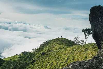
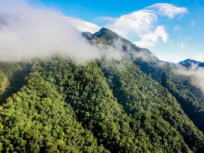
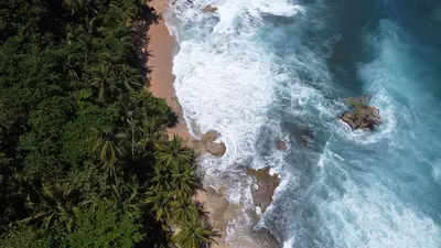
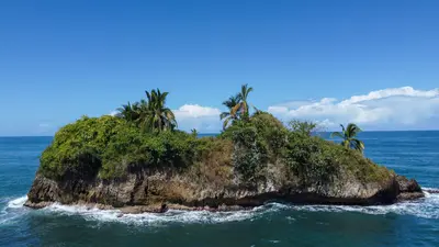
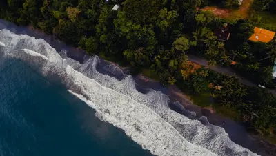
    Photo by Azzedine Rouichi on Unsplash

    Panama

    Bocas del Toro

    Region

    Bocas del Toro is an archipelago of forested islands and many small cays on the Caribbean coast of north-western Panama, near the Costa Rican border.

    by Felix Gillen

    1. Home
    2. Destinations
    3. Panama
    4. Bocas del Toro
    Bocas del Toro is an archipelago of forested islands and many small cays on the Caribbean coast of north-western Panama, near the Costa Rican border. You come for the beaches, the coral reefs of Isla Bastimentos National Marine Park and the laid-back island villages linked by water taxis.The three main islands are Isla Colón with the main town, Bocas Town, Isla Carenero just opposite, and Isla Bastimentos with the Afro-Caribbean village of Old Bank. Much of Bastimentos and the Cayos Zapatilla belong to the Parque Nacional Marino Isla Bastimentos, established in 1988.On Playa Larga on Bastimentos, sea turtles nest roughly from April to September. On the mainland are the port of Almirante and the border crossing to Costa Rica at Guabito. For crime in Bocas del Toro, see the FCDO Travel Advice for Panama.
    Panama travel guideSee the round tripPlan a trip with Bocas del Toro

    Contents

    • Places in the region
    • Culture
    • Getting around
    • Round trips
    • Nearby

    More places in Bocas del Toro

    Bocas Town (Isla Colón)

    Camilo Pinaud·Unsplash

    Bocas Town (Isla Colón)

    Bocas Town is the main settlement on Isla Colón and the heart of the Bocas del Toro archipelago, about half an hour by water taxi from the mainland port of Almirante. You'll stay here because water taxis depart from the docks to almost all islands, beaches, and reefs.Life centers around Calle 3, the main street, and Parque Simón Bolívar. Many restaurants and bars are built on stilts over the water, and the small airport is just a few blocks from the center.Via the island road, you can reach Playa Bluff on the east coast and Boca del Drago with Playa Estrella in the northwest.

    Sights in Bocas del Toro

    Discover the most important sights and attractions

    Attraction

    Red Frog Beach

    Long sandy beach on Isla Bastimentos, about 15 minutes by water taxi from Bocas Town, surrounded by a large resort complex. A small fee applies for access from the jetty across private land. With high surf, there are rip currents.
    Open in Google Maps
    National Park

    Bastimentos Island National Marine Park

    Established in 1988, this marine national park protects forests, mangroves, and coral reefs on and around Isla Bastimentos and the Cayos Zapatilla. Sea turtles nest at Playa Larga. Pay entrance fees at MiAmbiente; current rates are available on the reservation portal reservasap.miambiente.gob.pa.
    Open in Google Maps
    Natural Feature

    Cayos Zapatilla

    The two islands are in the Marine National Park and are mostly visited on boat tours from Bocas Town. Zapatilla 1 is fully protected, while Zapatilla 2 has trails, restrooms, and a ranger station. From December to March, rough seas often restrict diving.
    Open in Google Maps
    Beach

    Wizard Beach

    Surf beach on the north side of Isla Bastimentos, which you reach in about 20 minutes on foot through the forest from the village of Old Bank. There are strong currents, be careful when swimming.
    Open in Google Maps

    Island Life between Caribbean and Sanctuary

    Old Bank on BastimentosOld Bank is the Afro-Caribbean community on Isla Bastimentos and the starting point for the footpath to Wizard Beach.Indigenous Communities on the MainlandThe Naso people live on the mainland. Their territory, Naso Tjër Di, borders the International Park La Amistad.Bastimentos Marine National ParkThe park protects forests, mangroves, and reefs. Among the animals living there are sloths, caimans, the strawberry poison frog, and several species of sea turtles that nest on Playa Larga.

    Arrival, Water Taxis & Travel Time

    Getting ThereFrom Albrook city airport in Panama City, you fly in just under an hour to Bocas Town on Isla Colón. By land, you reach Almirante port, about 3.5 hours by car from Boquete; buses run via David. From Almirante, water taxis take you to Bocas Town in about half an hour.Local Travel & BorderWater taxis depart from several docks in Bocas Town. It's a few minutes to Isla Carenero, about 15 minutes to Red Frog Beach. Cayos Zapatilla are usually visited on a boat tour. To Costa Rica, take a shared taxi from Almirante to Guabito and walk across the 2021-opened border bridge to Sixaola.Best Time to Visit & RulesThe driest months are February and March, as well as September and October. From December to March, the sea on the open coast is rougher, often restricting diving at Cayos Zapatilla. Entrance to the Marine National Park is paid to MiAmbiente. Do not touch the starfish at Playa Estrella.

    Round trips through this region

    Panama in 15 Days: Canal, Guna Yala, Highlands and Caribbean

    Panama in 15 Days: Canal, Guna Yala, Highlands and Caribbean

    This round trip links the capital and the canal with the Guna Islands, the crater village El Valle, the cool highlands around Boquete, and the Caribbean islands of Bocas del Toro. Most journeys are by coach or 4x4, finally flying from Bocas del Toro back to Panama City.

    15 Days
    6 stops

    Eliécer Gómez·Pexels

    Nearby

    Boquete

    Boquete

    Boquete is located in a green valley on the slopes of Volcán Barú in the Chiriquí Highlands, approximately 40 km north of David. You come for the cool mountain climate, the hiking trails in the cloud forest, and the coffee, including the Geisha variety.The town stretches along the Río Caldera. Bajo Boquete with the main square is the center; north of it, around Los Naranjos, are the coffee areas and the access to Volcán Barú National Park.Every year in January, the Feria de las Flores y del Café takes place here, with its 53rd edition in 2026 from January 7 to 18.

    Cristhian Carreño·Unsplash

    Volcán Barú National Park

    Volcán Barú National Park

    Volcán Barú, between Boquete and Volcán in the Chiriquí Highlands, is Panama's highest point at 3,474 m. You ascend it because from the summit on clear days you can see both the Pacific and the Caribbean.The National Park encompasses cloud forest on the volcano's slopes. Here lives the Quetzal, which you are most likely to see between February and May. On the lower slopes are the cultivation areas of Boquete and Cerro Punta.The main trail to the summit begins above Boquete; from the west, a more difficult trail leads up from Paso Ancho near Volcán. The Sendero Los Quetzales connects Boquete with Cerro Punta on the north side of the volcano.

    FranHogan·CC BY-SA 4.0

    Puerto Viejo de Talamanca

    Puerto Viejo de Talamanca

    Puerto Viejo de Talamanca is a surf and beach town on Costa Rica's southern Caribbean coast, close to the Panama border and about four to four and a half hours' drive from San José. You come here for the beaches between Cocles and Manzanillo, for rainforest right on the coast, and for the Afro-Caribbean influenced cuisine.The town belongs to the Talamanca canton in Limón Province. Locals usually just say "Puerto Viejo"; do not confuse it with Puerto Viejo de Sarapiquí in the north of the country. In front of the town center, the Salsa Brava wave breaks over a reef, considered one of the most powerful in the country and reserved for experienced surfers.To the southeast, Playa Cocles, Playa Chiquita, and Punta Uva line up, and at the end of the road lies the fishing village of Manzanillo on the edge of the Gandoca-Manzanillo Wildlife Refuge. The small town beach, Playa Puerto Viejo, with its natural rock pools, is suitable for families; some other beaches have strong currents. To the north lies Cahuita National Park.Beyond the beach, cocoa tours, a visit to the Jaguar Rescue Center, and excursions to Bribri communities in the hinterland are available. Many travelers stay for several days, and the range of accommodations, cafés, and bars is correspondingly wide.Before you travel, read the UK government's FCDO travel advice for current safety information on the Caribbean coast.
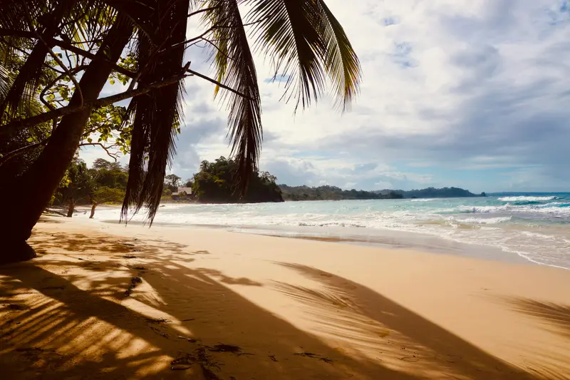
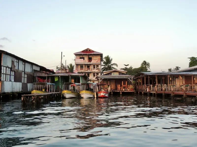
    Janek Breithaupt·Pexels

    Cahuita

    Cahuita

    Cahuita is a small village on the southern Caribbean coast, about 40 minutes south of Limón and 20 minutes north of Puerto Viejo de Talamanca. You come here for Cahuita National Park, which begins right at the edge of the village, with rainforest, beaches and an offshore coral reef.The village is quieter than nearby Puerto Viejo: a small grid of streets where many locals get around by bicycle. The Afro-Caribbean character is clearly felt in the food and music. Calypso singer Walter Ferguson lived in Cahuita; his 100th birthday in 2019 was declared National Calypso Day.Three beaches surround the village. Playa Blanca, with light sand, borders the park entrance and is the best for swimming. Playa Negra, with dark sand, lies just north of the village and is less visited, and further north comes the more secluded Playa Grande.The national park has two entrances: Kelly Creek at the eastern end of the village, where entry is by donation, and Puerto Vargas further south on the main road, where foreigners pay a fee. A coastal trail connects the two. Opening hours are daily from 8 am to 4 pm. You may only visit the reef on a guided snorkeling tour.Before you travel, read the UK government's FCDO travel advice for current safety information on the Caribbean coast.
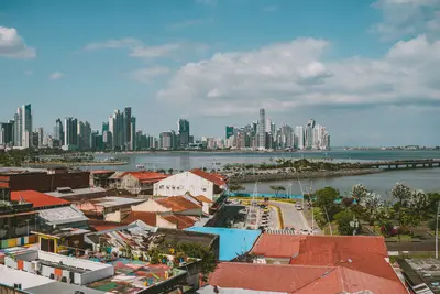
    Koen Swiers·Pexels

    The Caribbean

    The Caribbean

    The Caribbean coast encompasses the Limón province in eastern Costa Rica, from the Tortuguero canals in the north to the border with Panama in the south. This is where you go for rainforest that stretches right to the beach, for nesting sea turtles, and for an Afro-Caribbean culture that distinctly differs from the rest of the country.The city of Limón is located approximately 170 kilometers from San José; the road leads through the Zurquí Tunnel and Braulio Carrillo National Park. The north, around Tortuguero, is only accessible by boat or plane; you reach the Southern Caribbean, with Cahuita and Puerto Viejo, via the coastal road south of Limón.Many residents are descendants of Jamaican workers who arrived in the late 19th century for railway and banana plantations. Additionally, there are Chinese immigrants, and in the south, the indigenous Bribri and Cabécar people. Calypso, Reggae, and a cuisine featuring coconut milk define the region.

    Jake Marsee·Pexels

    Your next steps

    Bocas del Toro is in Panama. Ways to carry on from here.

    • More in Panama

      Highlights, areas, routes and the best time to travel for all of Panama.

      Panama travel guide
    • Round trips with Bocas del Toro

      One route passes through Bocas del Toro, with stops, nights and a map.

      See the round trip
    • Plan a trip with Bocas del Toro

      The Guide asks about season, length and who is coming, and suggests a trip with Bocas del Toro.

      Plan the trip

    Sources & method

    • Photos: Unsplash. Each photo carries its credit.
    • Place data such as addresses and ratings comes from Google Maps.
    • The content is based on web research from public, traceable sources. How the content is made · The role of AI