Fernweh: Home
ExploreGuideDestinationsMy tripsMy trip
de|en
All Places & RegionsRound tripsNight trains in EuropeAll highlightsAbout FernwehFAQPrivacy PolicyImprint
Download on the App StoreGet it on Google Play
ExploreGuideDestinationsMy tripsMy trip
    • Neighborhoods & highlights
    • Recommendations
    • Tours
    • Eat & drink
    • Culture
    • Getting around
    • Accommodation
    • Plan trip
    • Round trips
    • Nearby
    Boquete

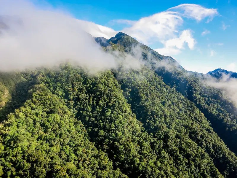
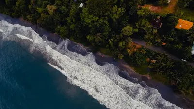
    Photo by Cristhian Carreño on Unsplash

    Panama

    Boquete

    City

    Boquete is located in a green valley on the slopes of Volcán Barú in the Chiriquí Highlands, approximately 40 km north of David.

    by Felix Gillen

    1. Home
    2. Destinations
    3. Panama
    4. Boquete
    Boquete is located in a green valley on the slopes of Volcán Barú in the Chiriquí Highlands, approximately 40 km north of David. You come for the cool mountain climate, the hiking trails in the cloud forest, and the coffee, including the Geisha variety.The town stretches along the Río Caldera. Bajo Boquete with the main square is the center; north of it, around Los Naranjos, are the coffee areas and the access to Volcán Barú National Park.Every year in January, the Feria de las Flores y del Café takes place here, with its 53rd edition in 2026 from January 7 to 18.
    Panama travel guideSee the round tripPlan a trip with Boquete

    Contents

    • Neighborhoods & highlights
    • Recommendations
    • Tours
    • Eat & drink
    • Culture
    • Getting around
    • Accommodation
    • Round trips
    • Nearby

    More districts in Boquete

    Volcán Barú National Park

    FranHogan·CC BY-SA 4.0

    Volcán Barú National Park

    Volcán Barú, between Boquete and Volcán in the Chiriquí Highlands, is Panama's highest point at 3,474 m. You ascend it because from the summit on clear days you can see both the Pacific and the Caribbean.The National Park encompasses cloud forest on the volcano's slopes. Here lives the Quetzal, which you are most likely to see between February and May. On the lower slopes are the cultivation areas of Boquete and Cerro Punta.The main trail to the summit begins above Boquete; from the west, a more difficult trail leads up from Paso Ancho near Volcán. The Sendero Los Quetzales connects Boquete with Cerro Punta on the north side of the volcano.

    Sights in Boquete

    Discover the most important sights and attractions

    Attraction

    1El Pianista Trail

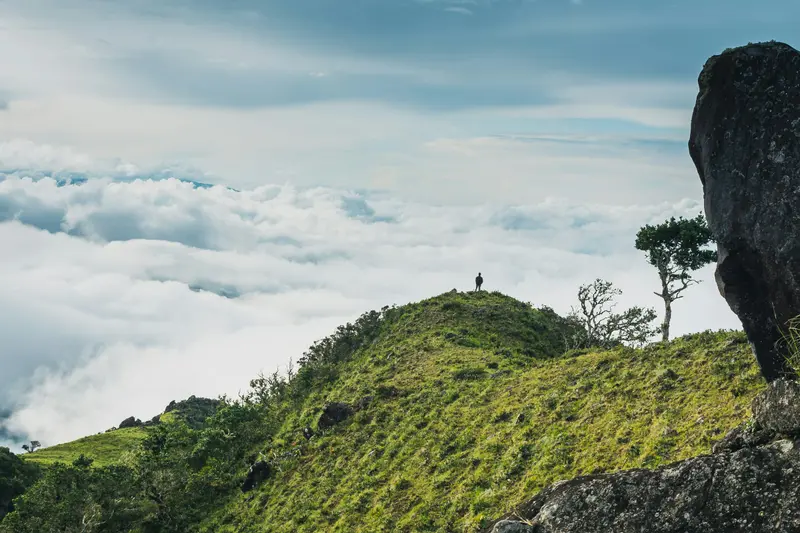
    Narrow path through humid cloud forest above Los Naranjos, approx. 4 km outside the village. Expect 3 to 4 hours for the round trip.
    Open in Google Maps

    Tours & experiences in Boquete

    Search tours for Boquete on GetYourGuide* (Affiliate link)On GetYourGuide, with reviews from other travellers

    * Affiliate link: if you book through it, we earn a small commission. The price stays the same for you.

    Restaurants in Boquete

    1

    Sugar & Spice

    Bakery and café on the main street of Bajo Boquete, featuring sourdough bread, pastries, and affordable lunch, listed as a Fodor's Choice by Fodor's. The bread also supplies many local hotels and restaurants.
    Show on Google Maps

    Coffee, Flowers and Fog

    CoffeeCoffee cultivation is still the most important economic sector in the district. Boquete is especially known for high-altitude Geisha coffee; at the 2025 Best of Panama auction, a Geisha from Boquete fetched a record price. Many fincas offer tours.Feria de las Flores y del CaféThis January fair showcases flower displays, national coffee, agriculture, and concerts. In 2026, it ran from January 7th to 18th. Plan your accommodation and travel early during this period.BajarequeTrade winds drive clouds over the mountains, bringing a fine misty drizzle known locally as Bajareque. From December to March, the valleys can be cool and windy, with light rain.

    Getting There & Tips

    Getting ThereFrom Panama City, you can take a bus from Terminal Albrook, which takes around 7 to 8 hours to David, or fly there. From David's bus terminal, regular buses depart to Boquete, taking about an hour. To Almirante (Bocas del Toro), it's about 3.5 hours by car.Getting AroundBuses to David depart from the north side of the main square. To the hot springs of Caldera and the trailheads in the national park, you can take a taxi, join a tour, or use a 4x4 vehicle.Best Time to VisitThe dry season lasts approximately from mid-December to mid-April. You're most likely to spot a Quetzal between February and May.

    Accommodations in Boquete

    Find perfect stay in Boquete

    Booking.com* (Affiliate link)
    Search Hotels
    Agoda* (Affiliate link)
    Search Hotels
    Airbnb
    Vacation Rentals

    * Affiliate link: if you book through it, we earn a small commission. The price stays the same for you.

    Plan your trip to Boquete

    Save places, build a route and plan your city trip, all in one place.

    1. 1
      Sunrise over alpine peaks and a sea of clouds
      1234

      Round trip

      12 days · 4 stops

      Saved

      Pick a route

      Pick a ready-made one or save places and plan your own.

      Open bookmarks
    2. 2

      Trip to Boquete

      Live
      • 1El Pianista Trail3 days
      Budget

      Plan your trip

      The planner sorts stops, days and budget. Plan together in real time.

      Start trip planning
    3. 3
      9:41 No signal
      Boquete
      Available offline

      Photo by Cristhian Carreño on Unsplash

      Use it on the road

      Download the guide to your phone and use it on site, even offline.

    Round trips with Boquete

    Panama in 15 Days: Canal, Guna Yala, Highlands and Caribbean

    Panama in 15 Days: Canal, Guna Yala, Highlands and Caribbean

    This round trip links the capital and the canal with the Guna Islands, the crater village El Valle, the cool highlands around Boquete, and the Caribbean islands of Bocas del Toro. Most journeys are by coach or 4x4, finally flying from Bocas del Toro back to Panama City.

    15 Days
    6 stops

    Eliécer Gómez·Pexels

    Nearby

    Bocas del Toro

    Bocas del Toro

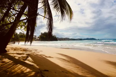
    Bocas del Toro is an archipelago of forested islands and many small cays on the Caribbean coast of north-western Panama, near the Costa Rican border. You come for the beaches, the coral reefs of Isla Bastimentos National Marine Park and the laid-back island villages linked by water taxis.The three main islands are Isla Colón with the main town, Bocas Town, Isla Carenero just opposite, and Isla Bastimentos with the Afro-Caribbean village of Old Bank. Much of Bastimentos and the Cayos Zapatilla belong to the Parque Nacional Marino Isla Bastimentos, established in 1988.On Playa Larga on Bastimentos, sea turtles nest roughly from April to September. On the mainland are the port of Almirante and the border crossing to Costa Rica at Guabito. For crime in Bocas del Toro, see the FCDO Travel Advice for Panama.

    Azzedine Rouichi·Unsplash

    Bocas Town (Isla Colón)

    Bocas Town (Isla Colón)

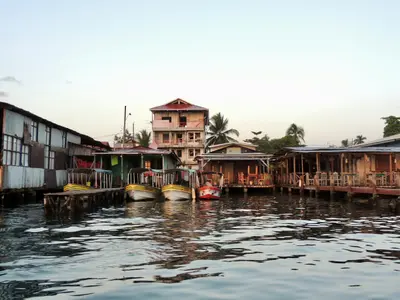
    Bocas Town is the main settlement on Isla Colón and the heart of the Bocas del Toro archipelago, about half an hour by water taxi from the mainland port of Almirante. You'll stay here because water taxis depart from the docks to almost all islands, beaches, and reefs.Life centers around Calle 3, the main street, and Parque Simón Bolívar. Many restaurants and bars are built on stilts over the water, and the small airport is just a few blocks from the center.Via the island road, you can reach Playa Bluff on the east coast and Boca del Drago with Playa Estrella in the northwest.

    Camilo Pinaud·Unsplash

    Puerto Jiménez

    Puerto Jiménez

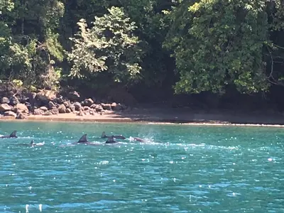
    Puerto Jiménez is the largest town on the Osa Peninsula, located on its eastern side along the Golfo Dulce in Costa Rica's South Pacific. You come here as a starting point for Corcovado National Park and for boat tours on the gulf, where dolphins live and humpback whales give birth to their young.The town isn't a destination itself, but a practical supply hub with supermarkets, sodas, tour operators, and a small airfield. In the early 20th century, farmers and gold prospectors settled here, and with the establishment of Corcovado National Park, Puerto Jiménez transformed into a hub for nature-based tourism.From here, tours depart to the park entrances La Leona and El Tigre, as well as boat trips to Sirena. On the Golfo Dulce, you can observe dolphins, kayak through mangroves, or embark on night tours with bioluminescent plankton.At the southern tip of the peninsula, about an hour's drive away, lies Cabo Matapalo with several surf spots for experienced surfers. The calm Playa Platanares beach, south of the airfield, is suitable for swimming.

    Editorofthewiki·CC BY-SA 4.0

    Puerto Viejo de Talamanca

    Puerto Viejo de Talamanca

    Puerto Viejo de Talamanca is a surf and beach town on Costa Rica's southern Caribbean coast, close to the Panama border and about four to four and a half hours' drive from San José. You come here for the beaches between Cocles and Manzanillo, for rainforest right on the coast, and for the Afro-Caribbean influenced cuisine.The town belongs to the Talamanca canton in Limón Province. Locals usually just say "Puerto Viejo"; do not confuse it with Puerto Viejo de Sarapiquí in the north of the country. In front of the town center, the Salsa Brava wave breaks over a reef, considered one of the most powerful in the country and reserved for experienced surfers.To the southeast, Playa Cocles, Playa Chiquita, and Punta Uva line up, and at the end of the road lies the fishing village of Manzanillo on the edge of the Gandoca-Manzanillo Wildlife Refuge. The small town beach, Playa Puerto Viejo, with its natural rock pools, is suitable for families; some other beaches have strong currents. To the north lies Cahuita National Park.Beyond the beach, cocoa tours, a visit to the Jaguar Rescue Center, and excursions to Bribri communities in the hinterland are available. Many travelers stay for several days, and the range of accommodations, cafés, and bars is correspondingly wide.Before you travel, read the UK government's FCDO travel advice for current safety information on the Caribbean coast.

    Janek Breithaupt·Pexels

    Cahuita

    Cahuita

    Cahuita is a small village on the southern Caribbean coast, about 40 minutes south of Limón and 20 minutes north of Puerto Viejo de Talamanca. You come here for Cahuita National Park, which begins right at the edge of the village, with rainforest, beaches and an offshore coral reef.The village is quieter than nearby Puerto Viejo: a small grid of streets where many locals get around by bicycle. The Afro-Caribbean character is clearly felt in the food and music. Calypso singer Walter Ferguson lived in Cahuita; his 100th birthday in 2019 was declared National Calypso Day.Three beaches surround the village. Playa Blanca, with light sand, borders the park entrance and is the best for swimming. Playa Negra, with dark sand, lies just north of the village and is less visited, and further north comes the more secluded Playa Grande.The national park has two entrances: Kelly Creek at the eastern end of the village, where entry is by donation, and Puerto Vargas further south on the main road, where foreigners pay a fee. A coastal trail connects the two. Opening hours are daily from 8 am to 4 pm. You may only visit the reef on a guided snorkeling tour.Before you travel, read the UK government's FCDO travel advice for current safety information on the Caribbean coast.

    Koen Swiers·Pexels

    Your next steps

    Boquete is in Panama. Ways to carry on from here.

    • More in Panama

      Highlights, areas, routes and the best time to travel for all of Panama.

      Panama travel guide
    • Round trips with Boquete

      One route passes through Boquete, with stops, nights and a map.

      See the round trip

    Sources & method

    • Photos: Unsplash. Each photo carries its credit.
    • Place data such as addresses and ratings comes from Google Maps.
    • The content is based on web research from public, traceable sources. How the content is made · The role of AI