Fernweh: Home
    ExploreTravel GuidesPlan a tripMy tripLast visited
    de|en
    All Places & RegionsAll highlightsAbout FernwehFAQPrivacy PolicyImprint
    ExploreTravel GuidesPlan a tripMy tripLast visited
    • Overview
    • Places in the region
    • Culture
    • Getting around
    • Round trips
    • Nearby
    Zillertal
    D-Kuru / Wikimedia Commons / CC BY-SA 4.0

    Austria

    Zillertal

    RegionMountains

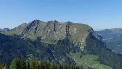
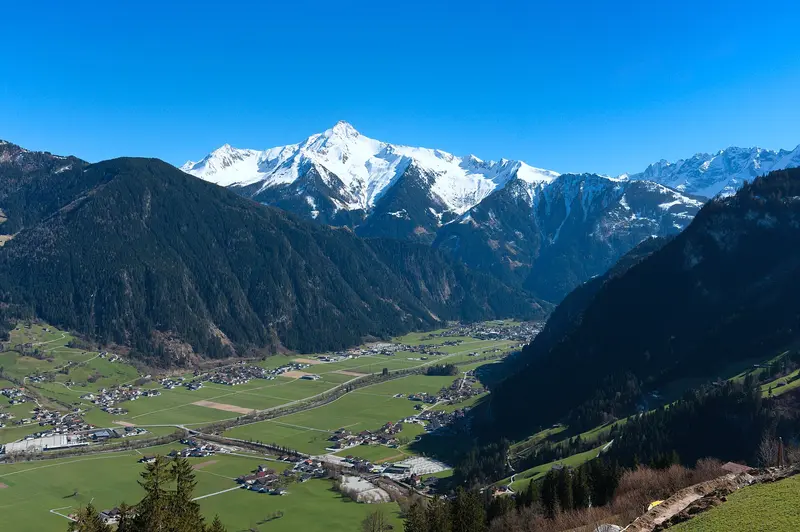
    From Strass im Inntal, the Ziller Valley stretches about 32 kilometers south to Mayrhofen, where it branches into the valleys of the Zillertal Alps.

    by Felix Gillen

    1. Home
    2. Destinations
    3. Austria
    4. Zillertal
    From Strass im Inntal, the Ziller Valley stretches about 32 kilometers south to Mayrhofen, where it branches into the valleys of the Zillertal Alps. A narrow-gauge railway opens up the valley, mountain lifts lead to the alpine pastures, and alpine roads take you to the Schlegeis Reservoir or over the Gerlos Pass to the Krimml Waterfalls.
    Broad Valley, High PeaksFrom the Inn Valley near Strass to Mayrhofen, the valley floor rises by only about 100 meters over approximately 32 kilometers. At Zell am Ziller, the Gerlos Valley branches off, and in Mayrhofen, the valley divides into the Tuxer Valley, Zemm Valley, Stillup Valley, and Zillergrund. To the south, the main ridge of the Zillertal Alps forms the border with South Tyrol; the highest peak of the Zillertal Alps High Mountain Nature Park is the Hochfeiler at 3,509 meters.Reservoir, Glacier, and Alpine PasturesBeyond Ginzling, the 13.3-kilometer Schlegeis Alpine Road (toll in summer) leads to the Schlegeisspeicher reservoir at 1,785 meters, a base for tours to the Pfitscher Joch and huts on the Olperer. At the end of the Tuxer Valley, the Glacier Bus transports you to the Hintertux Glacier, offering year-round guided tours through the Natur Eis Palast (Nature's Ice Palace).Tips for Your VisitThe Zillertal Activcard includes most public transport in the valley.One-hour guided tours are available at the Schlegeisspeicher dam from May to October.Via the Gerlos Alpine Road, which is open year-round and subject to tolls, you can reach Krimml in Salzburger Land from Zell am Ziller.

    Sights in Zillertal

    Discover the most important sights and attractions

    Schlegeis Dam
    Natural Feature

    Schlegeis Dam

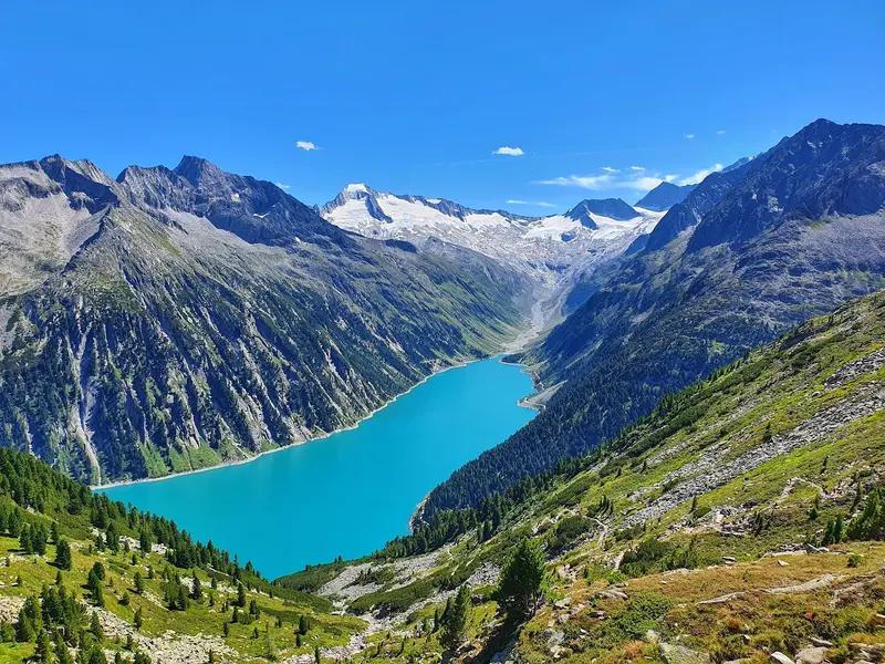
    The reservoir is located at 1,785 meters in the Zillertal Alps, held by a 131-meter-high and 725-meter-long, double-curved dam wall. The 13.3-kilometer-long Schlegeis Alpine Road leads up from Ginzling past waterfalls. From May to October, guided tours are available through the dam, and hiking trails lead to the Pfitscher Joch and the huts on the Olperer.
    Open in Google Maps
    Zillertalbahn
    Point of Interest

    Zillertalbahn

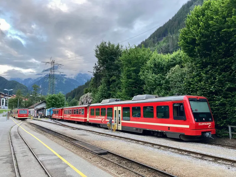
    The narrow-gauge railway, with its 760-millimeter track gauge, was opened on July 31, 1902, and connects Jenbach with the Mayrhofen terminal station over 31.7 kilometers. In addition to regular half-hourly trains, the railway uses steam locomotives with historic carriages for special tourist excursions.
    Open in Google Maps
    Zillertal Dairy Experience
    Point of Interest

    Zillertal Dairy Experience

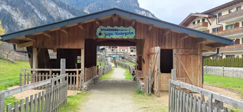
    An audio guide at Mayrhofen-Hollenzen's dairy takes you through its glass production, covering milk delivery, butter, yogurt, and cheese aging. Includes a show farm with Grauvieh, goats & pigs, a tasting, farm shop & restaurant.
    Open in Google Maps

    Culture and Tradition

    Folk MusicThe Zillertal has a long tradition of folk music. Groups like the Zillertaler Schürzenjäger gained fame beyond the region.Dairy and "Krapfen"At the Erlebnissennerei Zillertal in Mayrhofen, you can see in a glass dairy how milk is turned into butter, yogurt, and cheese. There's also a show farm featuring Grauvieh cattle. Typical of the valley's cuisine are the Zillertaler Krapfen.Valley HubsZell am Ziller is the economic and educational center of the valley. Mayrhofen, with around 4,000 inhabitants, is the largest holiday resort; the Penkenbahn opened here as early as 1954.

    Exploring locally

    With the ZillertalbahnThe narrow-gauge railway, opened in 1902, runs daily approximately every 30 minutes for 31.7 kilometers from Jenbach in the Inn Valley to Mayrhofen. You can reach Jenbach by train from Innsbruck, and the total journey from Innsbruck to Mayrhofen takes about 1.5 hours. For tourists, the railway also operates steam trains with historic carriages.Bus and ActivcardA dense bus network complements the railway into the side valleys.The Zillertal Activcard covers most public transport in the valley.By CarThe Schlegeis Alpine Road and Zillertal High Road are toll roads. The Gerlos Alpine Road connects Zell am Ziller via Gerlos with Krimml and the Oberpinzgau region; the old pass road is closed to trailers. The drive from Mayrhofen to Krimml takes about 45 minutes.

    Round trips through this region

    Western Austria: Lake Constance, Arlberg and Zillertal

    Western Austria: Lake Constance, Arlberg and Zillertal

    The trip starts in Bregenz on Lake Constance and leads through the Bregenz Forest, with its cheese-making alpine dairies, over the Hochtannberg Pass to the Arlberg and the villages of Lech and St. Anton. From there you continue into the Ötztal Valley with the Stuibenfall waterfall and the summit lifts of Sölden, then on to Innsbruck, and finally into the Zillertal Valley with the Schlegeis Reservoir and a side trip over the Gerlos Alpine Road to the Krimml Waterfalls. A car gives you the most flexibility, and most legs take 45 minutes to an hour. Bregenz, St. Anton, Ötztal station, Innsbruck and Jenbach are on the rail network, and buses serve the valleys, often free with local guest cards. This is a summer route: the road between Warth and Lech is closed in winter, and many cable cars and hiking buses only run during the summer season.

    13 Days
    6 stops
    Open jaw

    Nearby

    The Krimml Waterfalls

    The Krimml Waterfalls

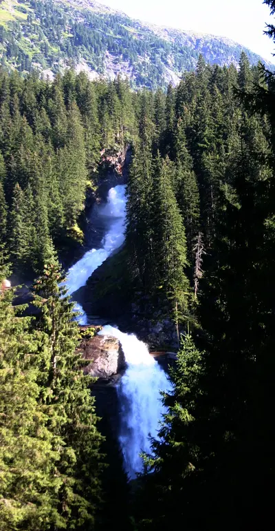
    With a total drop of 380 meters in three stages, the Krimmler Waterfalls are the highest in Austria. They are located in the Hohe Tauern National Park, and a wide, partly steep path leads upwards alongside the falls; they carry the most water in July and August.
    Innsbruck

    Innsbruck

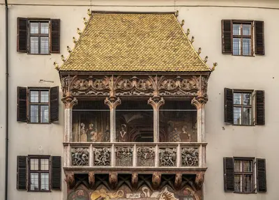
    The capital of Tyrol is located in western Austria right in front of the Alps. In the Old Town, the Golden Roof shines with its 2,657 gilded copper shingles; from there, the Hungerburgbahn, designed by Zaha Hadid, takes you up to the Nordkette.
    Innsbruck & Region

    Innsbruck & Region

    The Tyrolean state capital lies in the Inn Valley directly in front of the mountains. In the Old Town stand the Golden Roof with its copper shingles and the Hofburg; mountain railways lead from the city's edge into the high mountains.
    Pragser Wildsee

    Pragser Wildsee

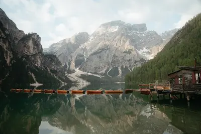
    Pragser Wildsee is situated at 1494 meters in the Pragser Tal, a few kilometers south of the Pustertal between Bruneck and Toblach. It belongs to the Fanes-Sennes-Prags Nature Park and is overlooked by the 2810-meter-high Seekofel. It also became known as a filming location for the TV series “Die Bergpolizei”.VisitA circular path of just under four kilometers leads around the lake in just over an hour. In summer, you can rent rowing boats at the boathouse. The Dolomite High Path No. 1 starts at the lake.Access in High SeasonIn 2026, a traffic regulation was in effect from July 1st to September 15th, between 9 AM and 4 PM: You could only enter the Pragser Tal with a parking space booked online in advance, with a scheduled bus service (also to be booked in advance), on foot, or by bike. The regulation is expected to return in summer 2027; details will be published in spring. Check them on the official website prags.bz before your arrival.
    Zugspitze

    Zugspitze

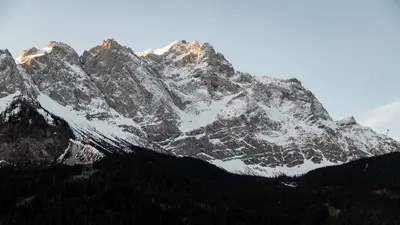
    The Zugspitze, at 2962 meters on its eastern peak, is Germany's highest mountain; the border with Austria runs over its western peak. A 4.88-meter-high summit cross stands on the peak, and below, on the Zugspitzplatt, lies the Nördliche Schneeferner, Germany's largest glacier.You can reach the top in two ways: The Bayerische Zugspitzbahn starts in Garmisch-Partenkirchen and reaches the glacier station at 2588 meters after approximately 45 minutes; the Seilbahn Zugspitze, opened in 2017, soars from Eibsee at 1000 meters directly to the summit.

    Sources & method

    • Photos: Wikimedia Commons, Google Maps. Each photo carries its credit.
    • Place data such as addresses and ratings comes from Google Maps.
    • The content is based on web research from public, traceable sources. How the content is made · The role of AI