Fernweh: Home
ExploreGuideDestinationsMy tripsMy trip
de|en
All Places & RegionsRound tripsNight trains in EuropeAll highlightsAbout FernwehFAQPrivacy PolicyImprint
Download on the App StoreGet it on Google Play
ExploreGuideDestinationsMy tripsMy trip
    • Neighborhoods & highlights
    • Eat & drink
    • Culture
    • Getting around
    • Accommodation
    • Plan trip
    • Nearby
    Tena

    Photo by Jeff Stapleton on Pexels

    Ecuador

    Tena

    City

    For current and binding travel, safety and health advice, check the UK FCDO travel advice, linked on the country page. Tena is the capital of Napo province and lies at the confluence of the Río Tena and Río Pano.

    by Felix Gillen

    1. Home
    2. Destinations
    3. Ecuador
    4. Amazonian Lowlands
    5. Tena
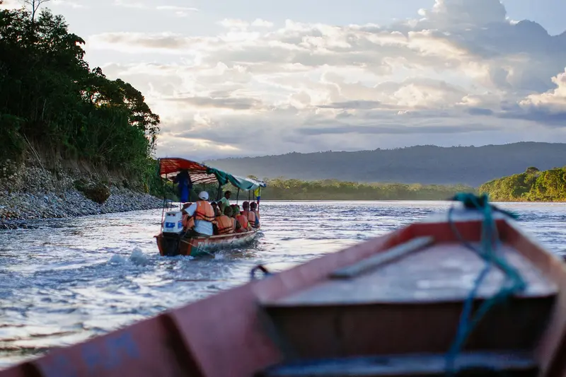
    For current and binding travel, safety and health advice, check the UK FCDO travel advice, linked on the country page.Tena is the capital of Napo province and lies at the confluence of the Río Tena and Río Pano. The town is one of Ecuador's main bases for rafting and kayaking on the rivers of the upper Napo. By the river you'll find a small Malecón, bathing spots and the Parque Amazónico La Isla.
    Ecuador travel guideRound trips in EcuadorPlan a trip with Tena

    Contents

    • Neighborhoods & highlights
    • Eat & drink
    • Culture
    • Getting around
    • Accommodation
    • Nearby

    Sights in Tena

    Discover the most important sights and attractions

    Park

    1Parque Amazónico La Isla

    The wooded headland at the confluence of Río Tena and Río Pano offers a lookout tower, paths, and swimming spots. The park also houses animals recovering from injuries.
    Open in Google Maps
    Park

    2Promenade of Tena

    Kiosks and eateries line the promenade, and locals swim at the river's sandy and shingle beaches.
    Open in Google Maps

    Restaurants in Tena

    1

    Café Tortuga

    The Swiss-run riverside café, per Lonely Planet, offers a wide breakfast selection and fresh fruit shakes (Batidos).
    Show on Google Maps

    Culture & Nature

    On the Edge of the Napo BasinTena is situated where the Andean foothills merge into the Amazon lowlands, and for decades it was the most significant town in the Oriente. Today, the city is a center for community tourism: you can overnight with Kichwa families in nearby villages.WhitewaterNearby are river sections of Classes I to V. The Jatunyacu on the upper Napo is most popular (Class III), its Kichwa name meaning 'big water'; the Misahuallí is more challenging, with Class IV and above.

    Getting There & Around

    ArrivalYou can reach Tena from Quito by bus in about five hours.The bus terminal is located on Avenida 15 de Noviembre, just over a kilometer south of the pedestrian bridge.In TownThe Río Tena divides the city; a pedestrian bridge and a car bridge connect both banks.Taxis are usually white pick-ups, a ride costs 1 to 2 US dollars.

    Accommodations in Tena

    Find perfect stay in Tena

    Booking.com* (Affiliate link)
    Search Hotels
    Agoda* (Affiliate link)
    Search Hotels
    Airbnb
    Vacation Rentals

    * Affiliate link: if you book through it, we earn a small commission. The price stays the same for you.

    Plan your trip to Tena

    Save places, build a route and plan your city trip, all in one place.

    1. 1
      Sunrise over alpine peaks and a sea of clouds
      1234

      Round trip

      12 days · 4 stops

      Saved

      Pick a route

      Pick a ready-made one or save places and plan your own.

      Open bookmarks
    2. 2

      Trip to Tena

      Live
      • 1Parque Amazónico La Isla3 days
      • 2Promenade of Tena4 days
      Budget

      Plan your trip

      The planner sorts stops, days and budget. Plan together in real time.

      Start trip planning
    3. 3
      9:41 No signal
      Tena
      Available offline

      Photo by Jeff Stapleton on Pexels

      Use it on the road

      Download the guide to your phone and use it on site, even offline.

    Nearby

    Cotopaxi National Park

    Cotopaxi National Park

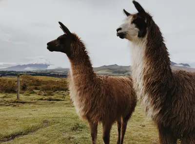
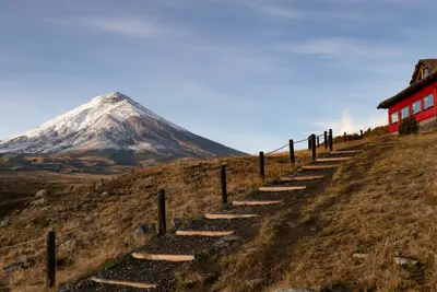
    For current travel and safety advice, including volcanic activity and any state of emergency, check the UK FCDO travel advice, linked on the country page.Cotopaxi National Park, around 50 kilometres south of Quito, surrounds the 5,897-metre, glacier-capped Cotopaxi volcano. On the plateau at around 4,000 metres you'll find Laguna Limpiopungo, hiking trails and an almost flat cycling route; entry is free.

    Alain Bonnardeaux·Unsplash

    Baños de Agua Santa

    Baños de Agua Santa

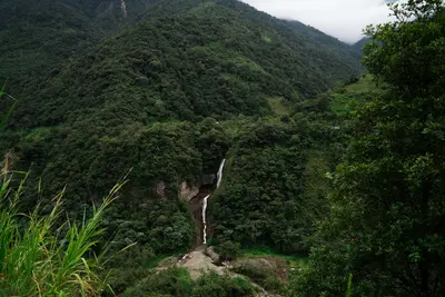
    For current travel and safety advice, including volcanic activity and any state of emergency, check the UK FCDO travel advice, linked on the country page.Baños de Agua Santa lies at around 1,800 metres at the foot of Tungurahua volcano, about 180 kilometres south of Quito, and is known for its thermal baths, the basilica of the Virgen del Rosario de Agua Santa and outdoor activities. From here the waterfall road with the Pailón del Diablo descends towards Puyo and the Amazon.

    Shad Meeg·Pexels

    Central Andes

    Central Andes

    For current travel and safety advice, including volcanic activity and any state of emergency, check the UK FCDO travel advice, linked on the country page.South of Quito, volcanoes line the Pan-American Highway: 5,897-metre Cotopaxi is around an hour's drive from the capital, and west of Latacunga lies the turquoise crater lake of Quilotoa. At the foot of Tungurahua, Baños with its thermal baths and the waterfall road towards Puyo is the gateway to the Amazon.

    DΛVΞ GΛRCIΛ·Pexels

    Coca (Puerto Francisco de Orellana)

    For current travel, safety and health advice, including any state of emergency, check the UK FCDO travel advice, linked on the country page.Coca, officially Puerto Francisco de Orellana, is the capital of Orellana province and lies at the confluence of the Napo and Payamino rivers. Boats leave from the Malecón for Yasuní National Park and the lodges on the lower Napo. The oil town makes a useful stopover before heading on into the rainforest.
    Quito

    Quito

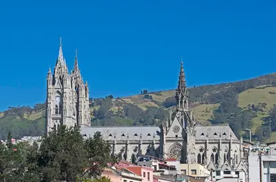
    UK FCDO travel advice (updated 1 November 2026): Pichincha province, which includes Quito, is among the provinces where a state of emergency for security reasons has been declared. Check the current FCDO travel advice, linked on the country page.Quito, the capital of Ecuador, lies at around 2,800 metres in a long Andean valley at the foot of Pichincha volcano. Its old town, with churches such as La Compañía and San Francisco, has been a UNESCO World Heritage Site since 1978 and, according to UNESCO, is the least altered historic centre in Latin America.Beyond the colonial old town, the viewpoints of El Panecillo and the TelefériQo, the museums in the north of the city and the restaurant scene are worth your time; in 2026 Nuema became the first Ecuadorian restaurant in the top 50 of The World's 50 Best Restaurants.

    Ymblanter·CC BY-SA 4.0

    Your next steps

    Tena is in Ecuador. Ways to carry on from here.

    • More in Ecuador

      Highlights, areas, routes and the best time to travel for all of Ecuador.

      Ecuador travel guide
    • Round trips in Ecuador

      Ready-made routes through Ecuador, with stops, nights and a map.

      See the routes

    Sources & method

    • Photos: Pexels. Each photo carries its credit.
    • Place data such as addresses and ratings comes from Google Maps.
    • The content is based on web research from public, traceable sources. How the content is made · The role of AI