Fernweh: Home
ExploreGuideDestinationsMy tripsMy trip
de|en
All Places & RegionsRound tripsNight trains in EuropeAll highlightsAbout FernwehFAQPrivacy PolicyImprint
Download on the App StoreGet it on Google Play
ExploreGuideDestinationsMy tripsMy trip
    • Places in the region
    • Culture
    • Getting around
    • Nearby
    Amazonian Lowlands

    Photo by Jeff Stapleton on Pexels

    Ecuador

    Amazonian Lowlands

    Region

    UK FCDO travel advice (updated 1 November 2026): the FCDO advises against all but essential travel to areas within 20 km of the border with Colombia, which includes parts of Sucumbíos province.

    by Felix Gillen

    1. Home
    2. Destinations
    3. Ecuador
    4. Amazonian Lowlands
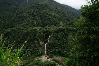
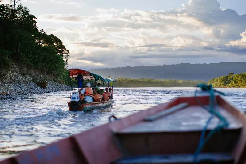
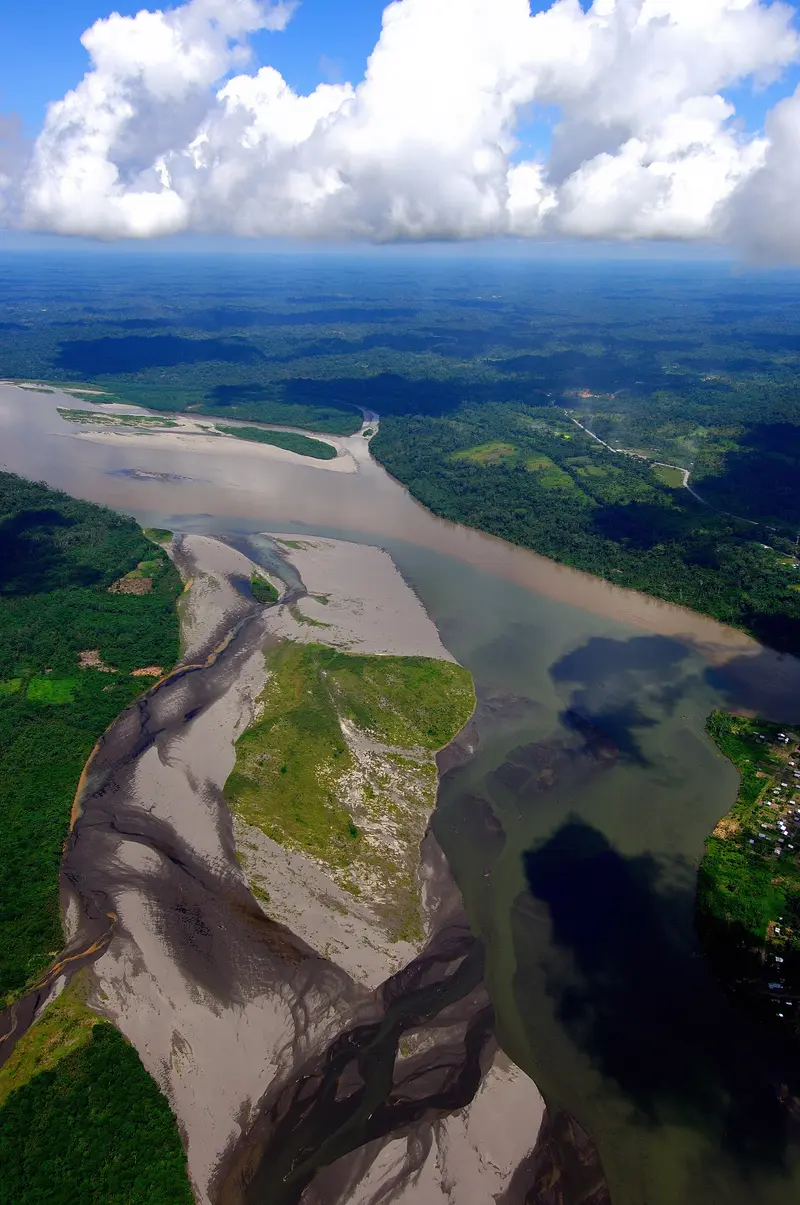
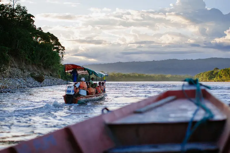
    UK FCDO travel advice (updated 1 November 2026): the FCDO advises against all but essential travel to areas within 20 km of the border with Colombia, which includes parts of Sucumbíos province. Check the current FCDO travel and health advice, linked on the country page.East of the Andes lie the Amazon lowlands, the Oriente. The major protected areas are Yasuní National Park, a UNESCO biosphere reserve since 1989, and Cuyabeno Reserve with its blackwater lagoons. Gateway towns are Coca, around 30 minutes by air from Quito, Lago Agrio and Tena, Ecuador's centre for rafting and kayaking.
    Ecuador travel guideRound trips in EcuadorPlan a trip with Amazonian Lowlands

    Contents

    • Places in the region
    • Culture
    • Getting around
    • Nearby
    Coca (Puerto Francisco de Orellana)

    “Ama la Vida - Flickr - Río NAPO Amazonía 1 (8227374732)” by amalavida.tv / Wikimedia Commons / CC BY-SA 2.0, mod.
    Place 1 of 4

    Coca (Puerto Francisco de Orellana)

    For current travel, safety and health advice, including any state of emergency, check the UK FCDO travel advice, linked on the country page.

    Discover
    Tena

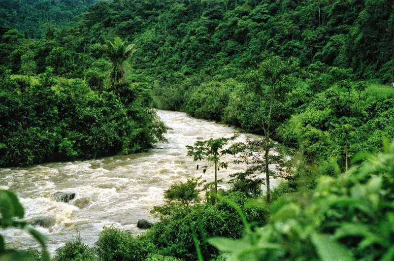
    Photo by Jeff Stapleton on Pexels

    Place 2 of 4

    Tena

    For current and binding travel, safety and health advice, check the UK FCDO travel advice, linked on the country page. Tena is the capital of Napo province and lies at the confluence of the Río Tena and Río Pano.

    Discover
    Yasuní National Park

    Photo by Tom Fisk on Pexels

    Place 3 of 4

    Yasuní National Park

    For current travel, safety and health advice, including any state of emergency, check the UK FCDO travel advice, linked on the country page.

    Discover
    Cuyabeno Reserve

    Fährtenleser / Wikimedia Commons / CC BY-SA 4.0, mod.

    Place 4 of 4

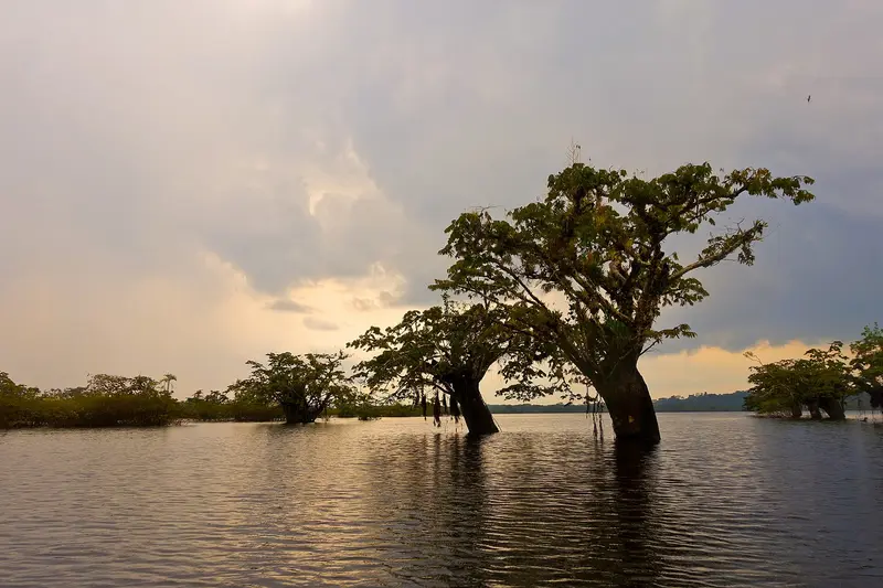
    Cuyabeno Reserve

    UK FCDO travel advice (updated 1 November 2026): the FCDO advises against all but essential travel to areas within 20 km of the border with Colombia, which includes parts of Sucumbíos province. Check the current FCDO travel advice, linked on the country page.

    Discover

    Rainforest and People

    Protected AreasYasuní and Cuyabeno were protected in 1979. The Waorani people live in Yasuní, whose territory, along with the park, forms a UNESCO Biosphere Reserve.Oil and ConservationIn August 2023, a majority in a referendum voted to end oil extraction in Yasuní's ITT block; the closure of the drilling sites is proceeding gradually.

    Getting to the Amazon

    GatewaysCoca: about 30 minutes by plane from Quito, gateway to Yasuní and the Río Napo.Lago Agrio: access to the Cuyabeno Reserve.Tena: about 186 kilometres and roughly five hours by bus from Quito, a centre for rafting and kayaking on class I to V whitewater.AdviceAsk to see your guide's licence before canoe and boat trips; in Misahuallí you register your passport with the port authority. For health and safety in the Amazon region, see the FCDO travel advice.

    Nearby
    Cotopaxi National Park

    Cotopaxi National Park

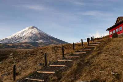
    For current travel and safety advice, including volcanic activity and any state of emergency, check the UK FCDO travel advice, linked on the country page.Cotopaxi National Park, around 50 kilometres south of Quito, surrounds the 5,897-metre, glacier-capped Cotopaxi volcano. On the plateau at around 4,000 metres you'll find Laguna Limpiopungo, hiking trails and an almost flat cycling route; entry is free.

    Alain Bonnardeaux·Unsplash

    Otavalo

    Otavalo

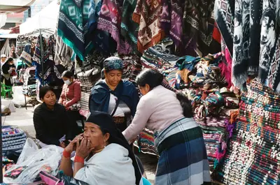
    Otavalo is located at around 2,500 meters in the province of Imbabura, about two bus hours north of Quito, and is known for its market at the Plaza de Ponchos. Around the city, weaving villages, the Peguche Waterfall, Lago San Pablo, and the Cuicocha crater lake invite visitors for excursions.

    Mar Ahumada·Pexels

    Northern Andes

    Northern Andes

    UK FCDO travel advice (updated 1 November 2026): Pichincha province, which includes Quito, is among the provinces under a state of emergency, and the FCDO advises against all but essential travel to areas within 20 km of the border with Colombia (with exceptions in Carchi, including Tulcán). Check the current FCDO travel advice, linked on the country page.For most travellers the northern Andes are the gateway to Ecuador: Quito lies at around 2,800 metres in a high valley, and its old town has been a UNESCO World Heritage Site since 1978. North of the city, Ciudad Mitad del Mundo marks the equator, and around two hours away by bus lies Otavalo with its market, weaving villages and the crater lake of Cuicocha.

    DΛVΞ GΛRCIΛ·Pexels

    Baños de Agua Santa

    Baños de Agua Santa

    For current travel and safety advice, including volcanic activity and any state of emergency, check the UK FCDO travel advice, linked on the country page.Baños de Agua Santa lies at around 1,800 metres at the foot of Tungurahua volcano, about 180 kilometres south of Quito, and is known for its thermal baths, the basilica of the Virgen del Rosario de Agua Santa and outdoor activities. From here the waterfall road with the Pailón del Diablo descends towards Puyo and the Amazon.

    Shad Meeg·Pexels

    Quito

    Quito

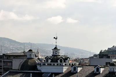
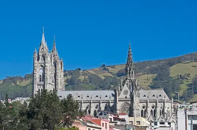
    UK FCDO travel advice (updated 1 November 2026): Pichincha province, which includes Quito, is among the provinces where a state of emergency for security reasons has been declared. Check the current FCDO travel advice, linked on the country page.Quito, the capital of Ecuador, lies at around 2,800 metres in a long Andean valley at the foot of Pichincha volcano. Its old town, with churches such as La Compañía and San Francisco, has been a UNESCO World Heritage Site since 1978 and, according to UNESCO, is the least altered historic centre in Latin America.Beyond the colonial old town, the viewpoints of El Panecillo and the TelefériQo, the museums in the north of the city and the restaurant scene are worth your time; in 2026 Nuema became the first Ecuadorian restaurant in the top 50 of The World's 50 Best Restaurants.

    Ymblanter·CC BY-SA 4.0

    Your next steps

    Amazonian Lowlands is in Ecuador. Ways to carry on from here.

    • More in Ecuador

      Highlights, areas, routes and the best time to travel for all of Ecuador.

      Ecuador travel guide
    • Round trips in Ecuador

      Ready-made routes through Ecuador, with stops, nights and a map.

      See the routes
    • Plan a trip with Amazonian Lowlands

      The Guide asks about season, length and who is coming, and suggests a trip with Amazonian Lowlands.

      Plan the trip

    Sources & method

    • Photos: Pexels. Each photo carries its credit.
    • The content is based on web research from public, traceable sources. How the content is made · The role of AI