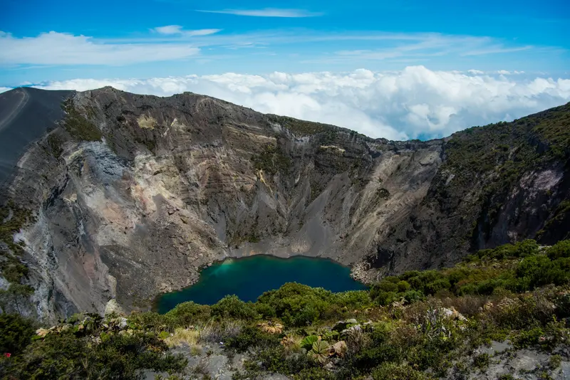
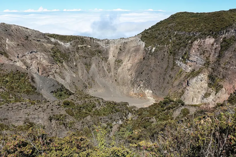
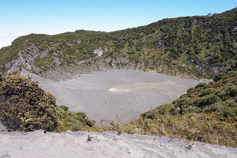
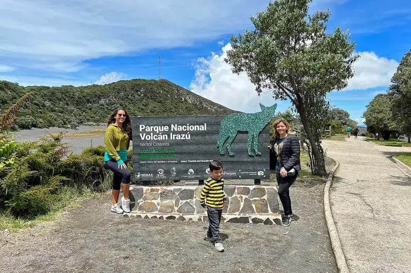
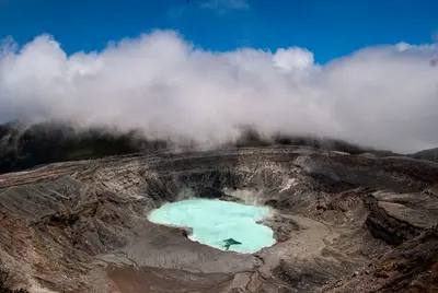
Irazú Volcano National Park is located in the Cordillera Central above Cartago, in the east of the Central Valley. You come here to walk right up to the rim of several craters, which are among Costa Rica's most easily accessible volcanic landscapes.Irazú stands at 3,432 meters. The National Park was founded on August 9, 1955. An eruption, which began in March 1963 and lasted about two years, covered San José and large parts of the highlands with ash.At the summit are several craters, including the Main Crater, the Diego de la Haya Crater, and the small, ash-covered Playa Hermosa Crater. During the rainy season, water collects in the Main Crater and Diego de la Haya, forming colorful lagoons. On very clear days, both the Caribbean and the Pacific can be seen from the summit; such days are rare, as clouds usually hang over the peak from late morning.The park also includes the Prusia sector, a former forest reserve where reforestation has taken place and hiking trails lead through the mountain forest. Tickets are available exclusively online via the SINAC reservation system, with a fixed entry time slot. Before your visit, check there for current opening hours and whether all sectors are accessible.At over 3,000 meters, it is cold and windy, even in the tropics. Bring warm clothing and rain gear, and come early to see the craters before the clouds roll in.
Sights in Irazú Volcano National Park
Discover the most important sights and attractions
1Main Crater (Cráter Principal)
Irazú's largest crater is about one kilometer wide and around 300 meters deep. During the rainy season, a greenish-colored lagoon collects at its bottom. The viewpoint on the rim is accessible from the crater sector's parking lot via a short path.
The second large crater at the summit measures approximately 690 meters in diameter and is about 100 meters deep. A lagoon also forms within it during the rainy season.
The smallest of the accessible craters is covered with grey volcanic ash, where visitors can walk. It is located in the crater sector near the two large craters.
The 1963 EruptionThe eruption from March 1963 is firmly embedded in the country's collective memory. For two years, ash fell on San José and the highlands; further major eruptions followed until 1977.Fertile SlopesThe volcanic soils on the flanks of Irazú are fertile and intensively farmed. On the drive from Cartago to the summit, the road leads through fields and pastures before the vegetation becomes sparse at higher altitudes.
Arrival and Visit
Getting ThereFrom Cartago, the drive to the crater sector takes about an hour; from San José, about two hours. Most visitors arrive by rental car, taxi, or tour. Reserve your ticket online in advance with SINAC and plan your arrival according to your booked time slot.Inside the ParkFrom the parking lot in the crater sector, short paths lead to the viewpoints at the main crater and the Diego de la Haya Crater. The Prusia sector is located lower on the slope and has its own access with forest trails.