Fernweh: Home
ExploreGuideDestinationsMy tripsMy trip
de|en
All Places & RegionsRound tripsNight trains in EuropeAll highlightsAbout FernwehFAQPrivacy PolicyImprint
Download on the App StoreGet it on Google Play
ExploreGuideDestinationsMy tripsMy trip
    • Places in the region
    • Recommendations
    • Culture
    • Getting around
    • Round trips
    • Nearby
    Río Dulce

    Photo by Weyden González on Unsplash

    Guatemala

    Río Dulce

    Region

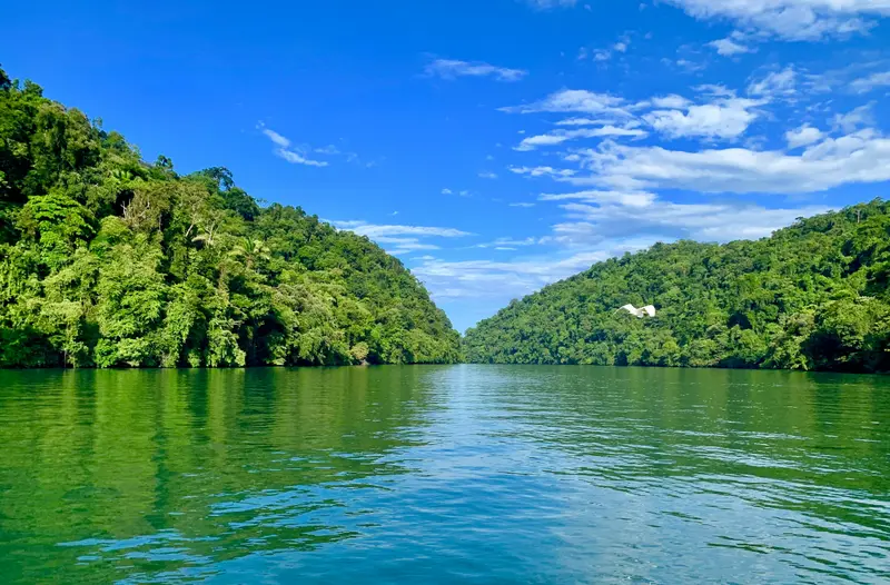
    The Río Dulce connects Lago de Izabal with the Caribbean near Lívingston and flows through a jungle-clad limestone gorge. Many come for the boat trip to Lívingston, the Castillo de San Felipe, and the hot springs of Finca El Paraíso.

    by Felix Gillen

    1. Home
    2. Destinations
    3. Guatemala
    4. Río Dulce
    The Río Dulce connects Lago de Izabal with the Caribbean near Lívingston and flows through a jungle-clad limestone gorge. Many come for the boat trip to Lívingston, the Castillo de San Felipe, and the hot springs of Finca El Paraíso.The town of Río Dulce, also known as Fronteras, is located at the large road bridge where the river leaves the lake. Slightly west, the Castillo de San Felipe de Lara guards the narrowest point at the lake's exit. Downstream, the Río Dulce widens into El Golfete, home to the Biotopo Chocón Machacas protected area.
    Guatemala travel guideSee the round tripPlan a trip with Río Dulce

    Contents

    • Places in the region
    • Recommendations
    • Culture
    • Getting around
    • Round trips
    • Nearby

    More places in Río Dulce

    Lívingston

    Exploraguate·CC BY-SA 4.0

    Lívingston

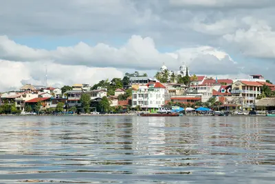
    Lívingston is a Caribbean town at the mouth of the Río Dulce and the center of Garífuna culture in Guatemala. There's no road; you can only reach the town by boat from Río Dulce or Puerto Barrios, and the journey through the river gorge alone is worth it.In the town, Garífuna, Afro-Caribbean influences, Maya, and Ladinos mix. Typical is Tapado, a seafood stew in coconut milk. From the town, a path leads to the cascades of Los Siete Altares; you reach Playa Blanca by boat.Around November 26th, Lívingston celebrates National Garífuna Day for several days.

    Sights in Río Dulce

    Discover the most important sights and attractions

    Castle

    Castillo de San Felipe de Lara

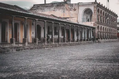
    The 17th-century Spanish fortress guards the narrowest point at the outlet of Lago de Izabal. It was intended to protect villages and trade caravans from pirates, was burned down by pirates in 1686, and rebuilt in the mid-1950s. Since 2002, it has been on the tentative UNESCO World Heritage List. The grounds feature lawns, picnic areas, and a swimming spot.
    Open in Google Maps
    Natural Feature

    Finca El Paraíso

    Hot spring water plunges here over an 8-meter fall into the cold river, with bathing pools below. Bats live in the caves above, accessible only by swimming. The Finca is about 25 kilometers from Río Dulce on the road to El Estor.
    Open in Google Maps
    Park

    Biotope Chocón Machacas

    The El Golfete north bank reserve includes rainforest and mangroves. Manatees live here, though rarely seen. An island has a 1-kilometer nature trail. Reach it from Río Dulce or Lívingston by boat in about 45 minutes.
    Open in Google Maps

    Fortress & River

    Protection from PiratesThe Castillo de San Felipe was built in the 17th century to protect the villages and trade caravans on Lake Izabal from pirates. In 1686, pirates conquered and burned down the fortress; today, a reconstruction from the 1950s stands.World Heritage CandidateSince 2002, the Castillo has been on Guatemala's tentative UNESCO World Heritage List.

    Journey & Getting Around

    Getting ThereShuttles from Flores take about four hours to reach Río Dulce. Long-distance buses connect the town with Guatemala City.Boat Trip to LívingstonShared boats depart from the main pier in Río Dulce for Lívingston; with stops, the journey takes about 1.5 to 2 hours. Boats primarily run in the mornings and early afternoons; prices are not officially fixed.ExcursionsThe Castillo is about 3 kilometers west; colectivos depart from Río Dulce. For Finca El Paraíso, about 25 kilometers away, colectivos head towards El Estor. You can reach the Biotopo Chocón Machacas in about 45 minutes by boat.

    Round trips through this region

    Guatemala in 16 Days: Highlands, Petén and Caribbean

    Guatemala in 16 Days: Highlands, Petén and Caribbean

    This tour combines colonial Antigua with Lake Atitlán and Chichicastenango market, leads through Semuc Champey pools into the Petén to Tikal and Yaxhá, concluding at Río Dulce and in Lívingston on the Caribbean. The longest stages are shuttle rides to Lanquín and on to Flores. Avoid night drives outside cities, as per the Foreign Office; check current travel/safety advisories before your trip.

    16 Days
    7 stops

    Mario Spencer·Pexels

    Nearby

    Semuc Champey

    Semuc Champey

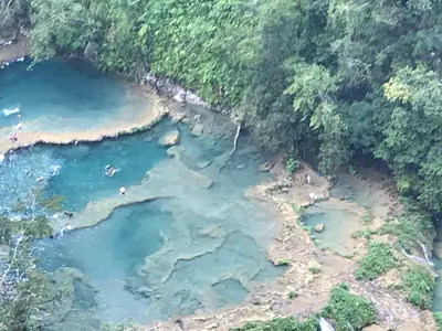
    Semuc Champey is a natural limestone bridge, approximately 300 meters long, spanning the Río Cahabón, where turquoise pools cascade in terraces. This natural monument is located about 11 to 12 kilometers south of Lanquín in the Departamento Alta Verapaz and is one of Guatemala's most famous swimming spots.The name comes from Q'eqchi' and roughly means "where the river disappears underground." Below the bridge, the Cahabón flows through, while above, you can swim in the calm pools. A steep path leads to the Mirador, from which you see the pools from above.Just before the entrance are the Cuevas K'anba, water caves you can explore with a group by candlelight. The area is managed by CONAP and the municipality of Lanquín.

    Betipá·CC BY-SA 4.0

    Lanquín

    Lanquín

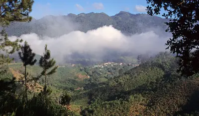
    Lanquín is a small Q'eqchi' village in the Río Cahabón valley in Alta Verapaz and the gateway to Semuc Champey, located about 10 kilometers south. In the evening, a visit to the Grutas de Lanquín on the edge of town is worthwhile, when large numbers of bats fly out of the cave.Approximately 95 percent of the population are Q'eqchi' Maya. Pick-ups will take you to Semuc Champey in about 30 to 45 minutes.

    Salix Oculus·CC BY-SA 4.0

    Petén

    Petén

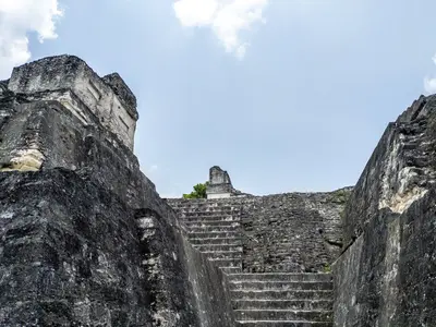
    Petén is Guatemala's northernmost and largest department, located between Mexico to the north and west, and Belize to the east. Due to the Maya cities in the rainforest, especially Tikal, this region is the primary destination for many travelers to Guatemala.Its main town is Flores, situated on an island in Lago Petén Itzá. From here, you can reach Tikal, Yaxhá with the neighboring sites Nakum and Naranjo, as well as Uaxactún. The forests are home to jaguars, toucans, howler monkeys, and macaws, among other animals.According to the German Foreign Office, there is a risk of robberies in Flores and Tikal.

    Matthias Stutzman·Pexels

    Yaxhá

    Yaxhá

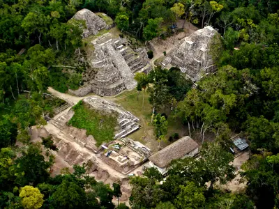
    Yaxhá is a classic Maya city on a hill between Yaxhá and Sacnab lakes in eastern Petén, about 30 km southeast of Tikal. The site is smaller and quieter than Tikal, renowned for its sunset over the forest and lake.Yaxhá, Nakum, and Naranjo form the Yaxhá-Nakum-Naranjo National Park. The younger Postclassic site Topoxté is on a lake island.

    Cafeyaxha·public domain

    Flores

    Flores

    Flores is the small island town in Lago Petén Itzá and the capital of the Petén Department, connected by a causeway to Santa Elena on the mainland. Colourful houses, cobblestone streets, and lakeside paths make it a popular base for Tikal, which is about an hour away.The island is only a few blocks wide, and in its centre stands the Cathedral Nuestra Señora de los Remedios y San Pablo Itzá. Santa Elena on the mainland is more utilitarian; it's home to the airport, bus station, and many accommodations. You can cross to San Miguel on the opposite peninsula by small boats.

    Edgouno·CC BY-SA 4.0

    Your next steps

    Río Dulce is in Guatemala. Ways to carry on from here.

    • More in Guatemala

      Highlights, areas, routes and the best time to travel for all of Guatemala.

      Guatemala travel guide
    • Round trips with Río Dulce

      One route passes through Río Dulce, with stops, nights and a map.

      See the round trip
    • Plan a trip with Río Dulce

      The Guide asks about season, length and who is coming, and suggests a trip with Río Dulce.

      Plan the trip

    Sources & method

    • Photos: Unsplash. Each photo carries its credit.
    • Place data such as addresses and ratings comes from Google Maps.
    • The content is based on web research from public, traceable sources. How the content is made · The role of AI