Fernweh: Home
ExploreGuideDestinationsMy tripsMy trip
de|en
All Places & RegionsRound tripsNight trains in EuropeAll highlightsAbout FernwehFAQPrivacy PolicyImprint
Download on the App StoreGet it on Google Play
ExploreGuideDestinationsMy tripsMy trip
    • Places in the region
    • Culture
    • Getting around
    • Round trips
    • Nearby
    Petén

    Photo by Matthias Stutzman on Pexels

    Guatemala

    Petén

    Region

    Petén is Guatemala's northernmost and largest department, located between Mexico to the north and west, and Belize to the east.

    by Felix Gillen

    1. Home
    2. Destinations
    3. Guatemala
    4. Petén
    Petén is Guatemala's northernmost and largest department, located between Mexico to the north and west, and Belize to the east. Due to the Maya cities in the rainforest, especially Tikal, this region is the primary destination for many travelers to Guatemala.Its main town is Flores, situated on an island in Lago Petén Itzá. From here, you can reach Tikal, Yaxhá with the neighboring sites Nakum and Naranjo, as well as Uaxactún. The forests are home to jaguars, toucans, howler monkeys, and macaws, among other animals.According to the German Foreign Office, there is a risk of robberies in Flores and Tikal.
    Guatemala travel guideSee the round tripPlan a trip with Petén

    Contents

    • Places in the region
    • Culture
    • Getting around
    • Round trips
    • Nearby
    Yaxhá

    Cafeyaxha / Wikimedia Commons / public domain
    Place 1 of 3

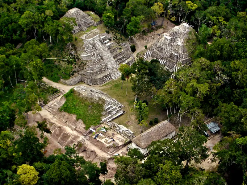
    Yaxhá

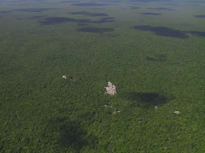
    Yaxhá is a classic Maya city on a hill between Yaxhá and Sacnab lakes in eastern Petén, about 30 km southeast of Tikal. The site is smaller and quieter than Tikal, renowned for its sunset over the forest and lake.

    Discover
    Flores

    Edgouno / Wikimedia Commons / CC BY-SA 4.0, mod.
    Place 2 of 3

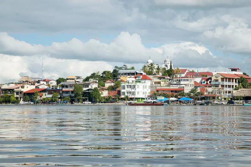
    Flores

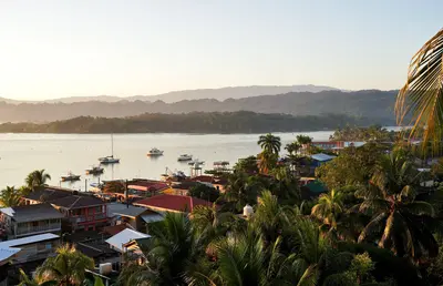
    Flores is the small island town in Lago Petén Itzá and the capital of the Petén Department, connected by a causeway to Santa Elena on the mainland.

    Discover
    Tikal

    chensiyuan / Wikimedia Commons / CC BY-SA 4.0, mod.

    Place 3 of 3

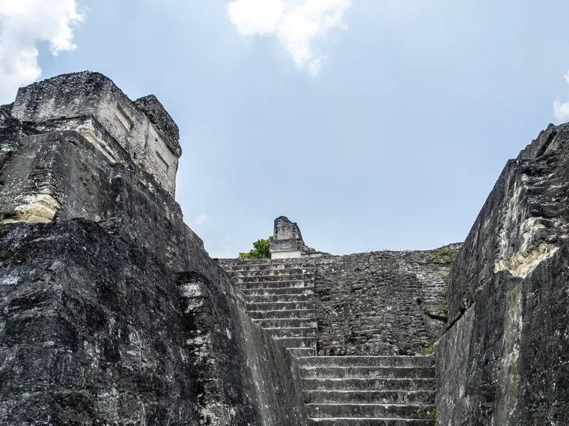
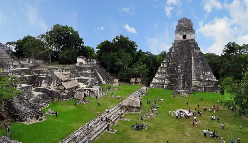
    Tikal

    Tikal is one of the largest ruined cities of the Maya and is located deep in the rainforest of Petén, approximately 63 kilometers northeast of Flores.

    Discover

    Lowland Maya Heritage

    The Itzá and the Last Maya KingdomAt Lago Petén Itzá, the Itzá resisted the Spanish until the end of the 17th century. In 1697, the Spanish conquered their capital, Nojpetén, and with it, the last independent Maya city fell.Ruined Cities in the RainforestTikal, Uaxactún, and Yaxhá are among the restored sites of the region. Since 1979, Tikal has been a UNESCO World Heritage site for culture and nature.

    On the Road in Petén

    Getting ThereMundo Maya Airport (FRS) is located in Santa Elena, opposite Flores, with flights from Guatemala City taking about an hour. Alternatively, long-distance buses take about eight hours from the capital to Flores.Local AreaFlores and Santa Elena are the hub of the region. Tikal is about 63 kilometers or an hour's drive away, Yaxhá about 1 hour 15 minutes.Practical TipsAllow at least a full day for Tikal, and a half-day for Yaxhá. Purchase admission tickets for Tikal in advance, as none are sold at the entrance.

    Round trips through this region
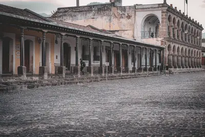
    Guatemala in 16 Days: Highlands, Petén and Caribbean

    Guatemala in 16 Days: Highlands, Petén and Caribbean

    This tour combines colonial Antigua with Lake Atitlán and Chichicastenango market, leads through Semuc Champey pools into the Petén to Tikal and Yaxhá, concluding at Río Dulce and in Lívingston on the Caribbean. The longest stages are shuttle rides to Lanquín and on to Flores. Avoid night drives outside cities, as per the Foreign Office; check current travel/safety advisories before your trip.

    16 Days
    7 stops

    Mario Spencer·Pexels

    Nearby

    Calakmul

    Calakmul

    The Mayan city of Calakmul is deep within the rainforest of Campeche state, southern Yucatán Peninsula. Its Biosphere Reserve dates to 1989, the site became a UNESCO World Heritage site in 2002, and a mixed natural and cultural heritage site in 2014. Structure II is around 55 meters high and, according to INAH, the second-highest Mayan pyramid after Toniná.From Federal Highway 186, a roughly 60-kilometer access road branches south at Ejido Conhuás; allow about 90 minutes. The Tren Maya stops in Xpujil and at the Calakmul halt near Conhuás; from there, you'll need a rental car or pre-booked transport.

    Lugares INAH·CC BY-SA 4.0

    Lívingston

    Lívingston

    Lívingston is a Caribbean town at the mouth of the Río Dulce and the center of Garífuna culture in Guatemala. There's no road; you can only reach the town by boat from Río Dulce or Puerto Barrios, and the journey through the river gorge alone is worth it.In the town, Garífuna, Afro-Caribbean influences, Maya, and Ladinos mix. Typical is Tapado, a seafood stew in coconut milk. From the town, a path leads to the cascades of Los Siete Altares; you reach Playa Blanca by boat.Around November 26th, Lívingston celebrates National Garífuna Day for several days.

    Exploraguate·CC BY-SA 4.0

    Río Dulce

    Río Dulce

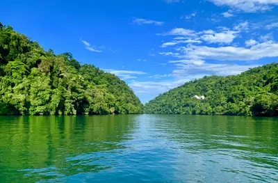
    The Río Dulce connects Lago de Izabal with the Caribbean near Lívingston and flows through a jungle-clad limestone gorge. Many come for the boat trip to Lívingston, the Castillo de San Felipe, and the hot springs of Finca El Paraíso.The town of Río Dulce, also known as Fronteras, is located at the large road bridge where the river leaves the lake. Slightly west, the Castillo de San Felipe de Lara guards the narrowest point at the lake's exit. Downstream, the Río Dulce widens into El Golfete, home to the Biotopo Chocón Machacas protected area.

    Weyden González·Unsplash

    Lanquín

    Lanquín

    Lanquín is a small Q'eqchi' village in the Río Cahabón valley in Alta Verapaz and the gateway to Semuc Champey, located about 10 kilometers south. In the evening, a visit to the Grutas de Lanquín on the edge of town is worthwhile, when large numbers of bats fly out of the cave.Approximately 95 percent of the population are Q'eqchi' Maya. Pick-ups will take you to Semuc Champey in about 30 to 45 minutes.

    Salix Oculus·CC BY-SA 4.0

    Semuc Champey

    Semuc Champey

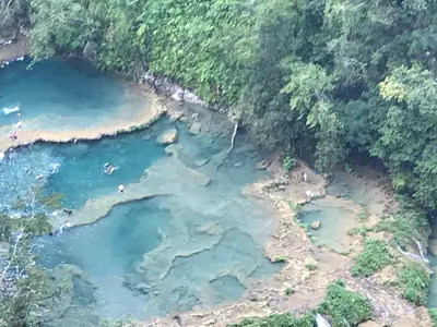
    Semuc Champey is a natural limestone bridge, approximately 300 meters long, spanning the Río Cahabón, where turquoise pools cascade in terraces. This natural monument is located about 11 to 12 kilometers south of Lanquín in the Departamento Alta Verapaz and is one of Guatemala's most famous swimming spots.The name comes from Q'eqchi' and roughly means "where the river disappears underground." Below the bridge, the Cahabón flows through, while above, you can swim in the calm pools. A steep path leads to the Mirador, from which you see the pools from above.Just before the entrance are the Cuevas K'anba, water caves you can explore with a group by candlelight. The area is managed by CONAP and the municipality of Lanquín.

    Betipá·CC BY-SA 4.0

    Your next steps

    Petén is in Guatemala. Ways to carry on from here.

    • More in Guatemala

      Highlights, areas, routes and the best time to travel for all of Guatemala.

      Guatemala travel guide
    • Round trips with Petén

      One route passes through Petén, with stops, nights and a map.

      See the round trip
    • Plan a trip with Petén

      The Guide asks about season, length and who is coming, and suggests a trip with Petén.

      Plan the trip

    Sources & method

    • Photos: Pexels. Each photo carries its credit.
    • The content is based on web research from public, traceable sources. How the content is made · The role of AI