Fernweh: Home
    ExploreTravel GuidesPlan a tripMy tripLast visited
    de|en
    All Places & RegionsAll highlightsAbout FernwehFAQPrivacy PolicyImprint
    ExploreTravel GuidesPlan a tripMy tripLast visited
    Mount Elgon National Park
    Nina R / Wikimedia Commons / CC BY 2.0

    Kenya

    Mount Elgon National Park

    Point of Interest

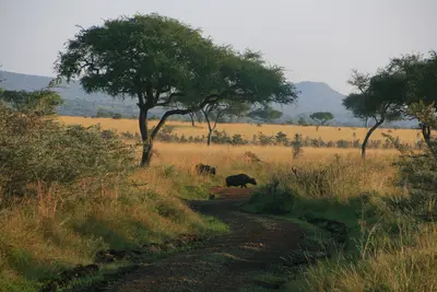
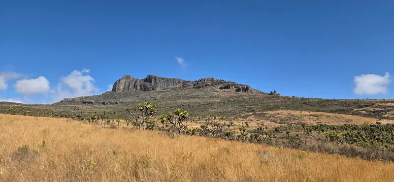
    Mount Elgon National Park is located on the border with Uganda west of Kitale and protects the Kenyan side of Mount Elgon. It is famous for Kitum Cave, where elephants go deep inside at night to scrape salt from the walls.

    by Felix Gillen

    1. Home
    2. Destinations
    3. Kenya
    4. West Kenya & Lake Victoria
    5. Mount Elgon National Park
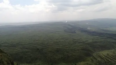
    Mount Elgon National Park is located on the border with Uganda west of Kitale and protects the Kenyan side of Mount Elgon. It is famous for Kitum Cave, where elephants go deep inside at night to scrape salt from the walls.Hiking trails lead through mountain forest to the Endebess Bluff viewpoint and up to the 4,155-meter-high Koitoboss.

    Sights in Mount Elgon National Park

    Discover the most important sights and attractions
    Kitum Cave
    Attraction

    1Kitum Cave

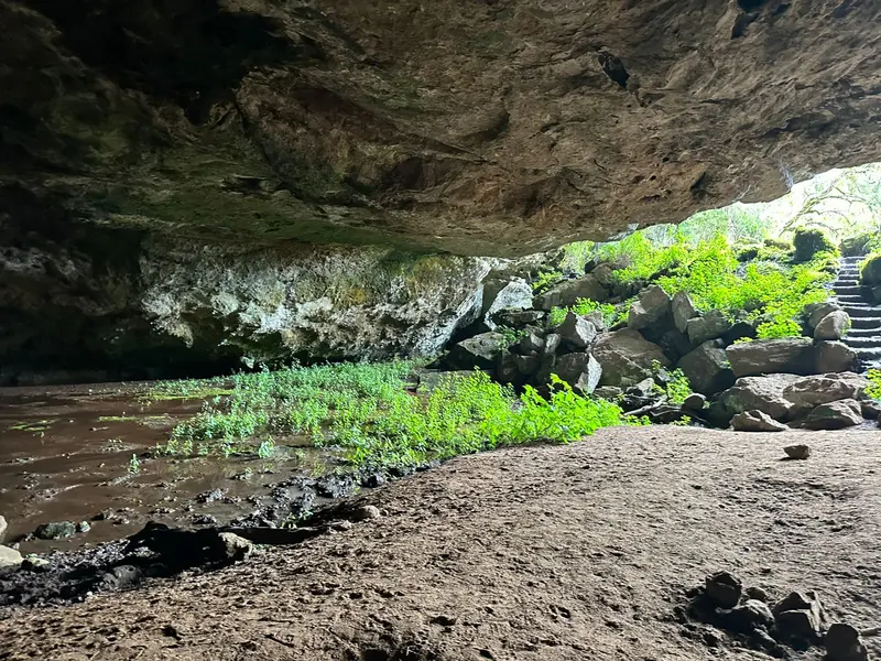
    The cave extends about 200 meters into the mountain. Elephants and buffalo come at night to loosen salty rock from the walls. From Chorlim Gate, you reach it by car or on foot. A flashlight is a must-have.
    Open in Google Maps
    Koitoboss Peak
    Point of Interest

    2Koitoboss Peak

    At 4,155 meters, it's the highest peak on the Kenyan side of Mount Elgon. From the end of the drivable road, it's roughly a two-hour hike to the summit.
    Open in Google Maps

    Restaurants in Mount Elgon National Park

    Nature & Caves

    Elephants in the MountainKitum Cave extends about 200 meters into the mountain. Elephants and buffalo primarily come at night to lick the salty rock from the walls and break it out with their tusks. In addition to Kitum, the Chepnyali and Makingeny caves can also be visited.A Park on Two SidesThe Kenyan section was designated a protected area in 1968 and covers 169 square kilometers, managed by the Kenya Wildlife Service. Beyond the border, the park continues into Uganda. The highest point on the Kenyan side is Koitoboss at 4,155 meters.WildlifeElephants and buffalo live on the lower slopes, while colobus monkeys and blue monkeys inhabit the forest. Leopards and hyenas are rarely seen. At least 144 bird species have been identified throughout the mountain.

    Arrival & Essentials

    Getting ThereThe journey is on asphalt until Kitale. From there, a signposted gravel road leads via Endebess to Chorlim Gate, the main gate with the park administration, approximately 30 to 35 kilometers from Kitale.A 4x4 vehicle is necessary during the rainy season, advisable in the dry season.From Chorlim Gate, you can drive or walk to Kitum Cave.Within the ParkDriving routes lead to caves, viewpoints, and to the end of the road below Koitoboss. From there, it's about a two-hour walk to the summit.Public campsites are available at Chorlim, Nyati, Rongai, and Mutamayo. Additionally, at the gate, there are bandas and a self-catering guesthouse run by KWS.Bring your own food, drinking water, and spare fuel; a flashlight is needed for the caves.Best Time to Visit & FeesThe park is open year-round. Rain is possible at Mount Elgon at any time; according to KWS, the driest months are December to February.Non-residents pay 50 US dollars per adult per 24 hours, and children 25 US dollars, effective October 1, 2025. Payment is made via the eCitizen platform.

    Accommodations in Mount Elgon National Park

    Find perfect stay in Mount Elgon National Park

    Booking.com* (Affiliate link)
    Search Hotels
    Agoda* (Affiliate link)
    Search Hotels
    Airbnb
    Vacation Rentals

    * Affiliate link: if you book through it, we earn a small commission. The price stays the same for you.
    Nearby

    West Kenya & Lake Victoria

    West Kenya & Lake Victoria

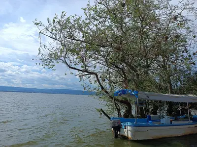
    West Kenya extends from Lake Victoria to the Ugandan border, away from the classic safari routes. Around Kisumu, Kenya's third-largest city, Luo culture, fishing villages, and lake boat trips combine with rainforest, volcanic caves, and a small savannah park.
    Kakamega Forest

    Kakamega Forest

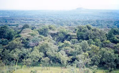
    North of Kisumu, Kakamega Forest is considered Kenya's last remnant of the Guineo-Congolese rainforest, which once stretched from Central Africa to this region. At an altitude of 1,500 to 1,600 meters, it is home to primates and birds you usually find in Uganda or the Congo Basin.The forest can only be explored on foot: on trails to viewpoints like Buyangu and Lirhanda, to waterfalls along the Isiukhu, and with bird guides in the early morning.
    Kisumu

    Kisumu

    Kisumu is located on the northeastern shore of Winam Gulf, a shallow arm of Lake Victoria, approximately 320 kilometers northwest of Nairobi. Kenya's third-largest city is the cultural center of the Luo people and the best starting point for boat trips to see hippos, fishing villages, and sunsets over the lake.The Kisumu Museum, featuring a reconstructed Luo homestead, the small Impala Sanctuary on the shore, and the fishing beach Dunga Beach, can easily be combined into a single day. For sunsets over the lake, many head to Hippo Point near Dunga, a few kilometers southwest of the center.
    Ruma National Park

    Ruma National Park

    Ruma National Park is located in the Lambwe Valley southwest of Homa Bay, not far from Lake Victoria. It is the only terrestrial national park in the former Nyanza Province and the last home of the roan antelope in Kenya.Across 120 square kilometers of savanna and bushland, you will also see Rothschild's giraffes, oribis, and topis.
    Nakuru

    Nakuru

    Nakuru is located approximately 160 km northwest of Nairobi on the Nairobi-Nakuru Highway and, since 2021, is Kenya's fourth chartered city. For travellers, it's mainly a base for Lake Nakuru National Park, right on its doorstep, the Menengai Crater, and the prehistoric site of Hyrax Hill.The capital of Nakuru County has a vibrant, rapidly evolving nightlife scene.

    Sources & method

    • Photos: Wikimedia Commons, Google Maps. Each photo carries its credit.
    • Place data such as addresses and ratings comes from Google Maps.
    • The content is based on web research from public, traceable sources. How the content is made · The role of AI