Fernweh: Home
ExploreGuideDestinationsMy tripsMy trip
de|en
All Places & RegionsRound tripsNight trains in EuropeAll highlightsAbout FernwehFAQPrivacy PolicyImprint
Download on the App StoreGet it on Google Play
ExploreGuideDestinationsMy tripsMy trip
    • Places & highlights
    • Eat & drink
    • Culture
    • Getting around
    • Accommodation
    • Nearby
    Jotunheimen

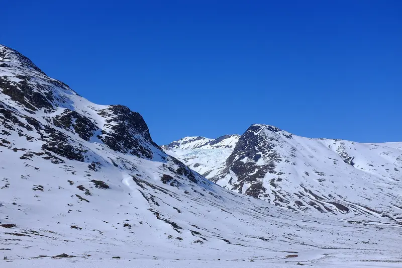
    Frankemann / Wikimedia Commons / CC BY-SA 4.0, mod.

    Norway

    Jotunheimen

    Point of Interest

    Jotunheimen is a high mountain range in western Eastern Norway, covering approximately 3,500 square kilometers.

    by Felix Gillen

    1. Home
    2. Destinations
    3. Norway
    4. East Norway and Gudbrandsdal
    5. Jotunheimen
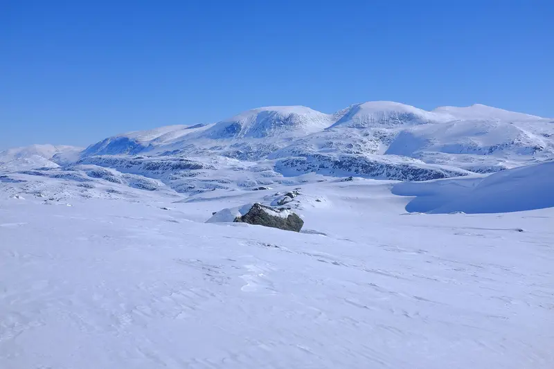
    Jotunheimen is a high mountain range in western Eastern Norway, covering approximately 3,500 square kilometers. It is home to Galdhøpiggen (2,469 m) and Glittertind (2,464 m), Norway's two highest mountains, and within the national park, you'll discover more than 50 marked trails.The most famous tour is the Besseggen ridge, for which you typically start by boat across Lake Gjende from Gjendesheim. On the edge of the mountain range lies Lom, home to its 12th-century stave church; from there, the Sognefjellsvegen road traverses the range to Gaupne.
    Norway travel guideRound trips in NorwayPlan a trip with Jotunheimen

    Contents

    • Places & highlights
    • Eat & drink
    • Culture
    • Getting around
    • Accommodation
    • Nearby

    Sights in Jotunheimen

    Discover the most important sights and attractions

    Besseggen

    Silverkey (Mickaël Delcey) / Wikimedia Commons / CC BY-SA 4.0, mod.

    1Besseggen

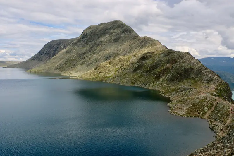
    The ridge above Gjende is up to 1,743 meters high and the most famous hike in Jotunheimen. Most often, you take a boat from Gjendesheim to Memurubu and walk back over Besseggen. Visit Norway estimates up to eight hours of walking time and recommends the tour only to experienced hikers.
    Open in Google Maps
    Galdhøpiggen

    Frankemann / Wikimedia Commons / CC BY-SA 4.0, mod.

    2Galdhøpiggen

    At 2,469 meters, Galdhøpiggen is Norway's highest mountain, just ahead of Glittertind at 2,464 meters. Both peaks are located in Jotunheimen.
    Open in Google Maps

    Restaurants in Jotunheimen

    Hiking and Stave Churches

    BesseggenBesseggen reaches up to 1,743 meters. Visit Norway estimates up to eight hours of walking time and recommends the tour only for experienced hikers. Plan for provisions, weatherproof clothing, and enough time for the last boat.Lom Stave ChurchIn Lom, on the northern edge of the mountains, stands a 12th-century stave church. It’s a good stop before you drive over the Sognefjellsvegen.

    Boat and Mountain Road

    By Boat Across GjendeFor the Besseggen hike, you usually take the boat from Gjendesheim to Memurubu; the crossing takes about 20 minutes. From there, you hike back over the ridge to Gjendesheim.Sognefjellsvegen (Fv55)This National Tourist Route stretches for 108 kilometers from Lom to Gaupne, reaching its highest point at 1,434 meters. It is closed in winter between Rustasætre and Turtagrø. In recent years, it opened between April 12 and May 1 and closed between November 17 and December 17. Even after opening, it can be temporarily closed at night and in bad weather.

    Accommodations in Jotunheimen

    Find perfect stay in Jotunheimen

    Booking.com* (Affiliate link)
    Search Hotels
    Agoda* (Affiliate link)
    Search Hotels
    Airbnb
    Vacation Rentals

    * Affiliate link: if you book through it, we earn a small commission. The price stays the same for you.

    Campgrounds in Jotunheimen

    Find perfect campground in Jotunheimen

    Search via Google Maps
    Campgrounds nearby (15km)
    Camping.info
    Find Campgrounds
    Park4Night
    RV Parks & Camping

    Nearby

    Dovrefjell

    Dovrefjell

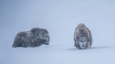
    The Dovrefjell is a high mountain range at the northern end of the Gudbrandsdal, along the railway line between Oslo and Trondheim. You come here to see musk oxen in their natural habitat and to gaze over the high plateau from the Pavillon Viewpoint Snøhetta.The area is home to two national parks, Dovre and Dovrefjell-Sunndalsfjella. The main starting point for visits is usually Hjerkinn, with its train stop, and further stops are available in Dombås and Kongsvoll.

    Kris-Mikael Krister·Unsplash

    Geirangerfjord

    Geirangerfjord

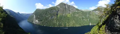
    The approximately 15-kilometer-long and up to 1.5-kilometer-wide fjord in the Sunnmøre region branches off from the Sunnylvsfjord and has been a UNESCO World Heritage site since 2005. At its end lies the village of Geiranger, and at its mouth Hellesylt. Famous are the Seven Sisters waterfalls and the opposing Suitor. The fjord is one of Norway's most visited travel destinations.Note: The car ferry from Geiranger to Hellesylt is currently suspended (as of November 2026), because a zero-emission mandate applies on the World Heritage Fjord. Before your trip, check with Fjord1 if it is running again.

    Carsten Steger·CC BY-SA 4.0

    Hellesylt

    Hellesylt

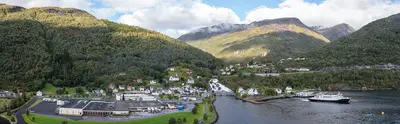
    Hellesylt is a small village on the Sunnylvsfjord, where the Geirangerfjord branches off. In the middle of the village, the Hellesyltfossen waterfall plunges between two old bridges, one of the most photographed sights in the area.Until 2026, Hellesylt was the port for the car ferry through the Geirangerfjord. This ferry is currently suspended (as of November 2026); check with Fjord1 before your trip whether it is operating again.

    Diego Delso·CC BY-SA 4.0

    Norway's Fjords

    Norway's Fjords

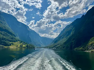
    On the west coast, the great fjords cut deep inland. Geirangerfjord and Nærøyfjord are approximately 120 kilometres apart, together forming the UNESCO World Heritage Site of the West Norwegian Fjords: Their rock walls rise up to 1,400 metres from the sea and plunge 500 metres below sea level, with countless waterfalls cascading down the steep cliffs. Bergen is the main starting point.

    Cbliu·CC BY-SA 4.0

    East Norway and Gudbrandsdal

    East Norway and Gudbrandsdal

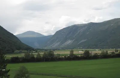
    East Norway stretches from the fortress town of Fredrikstad at the mouth of the Glomma, past Lillehammer on Mjøsa, Norway's largest lake, all the way up into the high mountains of Jotunheimen and Dovrefjell. You come here for open-air museums and stave churches, for hikes between the country's highest peaks, and for the old mining town of Røros.The Gudbrandsdal valley extends northwest from Lillehammer, about 200 kilometers north of Oslo. This is the origin of the brown cheese, Gudbrandsdalsost. Jotunheimen is home to Norway's two highest mountains, Galdhøpiggen (2,469 m) and Glittertind (2,464 m), while musk oxen live in Dovrefjell.Røros, in the far northeast, has been a UNESCO World Heritage site since 1980. Around 2,000 wooden houses bear witness to more than three centuries of copper mining.
    Erik den yngre·CC BY-SA 4.0

    Your next steps

    Jotunheimen is in Norway. Ways to carry on from here.

    • More in Norway

      Highlights, areas, routes and the best time to travel for all of Norway.

      Norway travel guide
    • Round trips in Norway

      Ready-made routes through Norway, with stops, nights and a map.

      See the routes
    • Plan a trip with Jotunheimen

      The Guide asks about season, length and who is coming, and suggests a trip with Jotunheimen.

      Plan the trip

    Sources & method

    • Photos: Wikimedia Commons. Each photo carries its credit.
    • The content is based on web research from public, traceable sources. How the content is made · The role of AI