Fernweh: Home
ExploreGuideDestinationsMy tripsMy trip
de|en
All Places & RegionsRound tripsNight trains in EuropeAll highlightsAbout FernwehFAQPrivacy PolicyImprint
Download on the App StoreGet it on Google Play
ExploreGuideDestinationsMy tripsMy trip
    • Places in the region
    • Culture
    • Getting around
    • Nearby
    East Norway and Gudbrandsdal

    Erik den yngre / Wikimedia Commons / CC BY-SA 4.0, mod.

    Norway

    East Norway and Gudbrandsdal

    Region

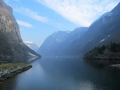
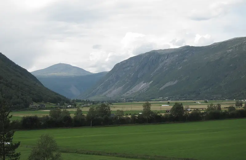
    East Norway stretches from the fortress town of Fredrikstad at the mouth of the Glomma, past Lillehammer on Mjøsa, Norway's largest lake, all the way up into the high mountains of Jotunheimen and Dovrefjell.

    by Felix Gillen

    1. Home
    2. Destinations
    3. Norway
    4. East Norway and Gudbrandsdal
    East Norway stretches from the fortress town of Fredrikstad at the mouth of the Glomma, past Lillehammer on Mjøsa, Norway's largest lake, all the way up into the high mountains of Jotunheimen and Dovrefjell. You come here for open-air museums and stave churches, for hikes between the country's highest peaks, and for the old mining town of Røros.The Gudbrandsdal valley extends northwest from Lillehammer, about 200 kilometers north of Oslo. This is the origin of the brown cheese, Gudbrandsdalsost. Jotunheimen is home to Norway's two highest mountains, Galdhøpiggen (2,469 m) and Glittertind (2,464 m), while musk oxen live in Dovrefjell.Røros, in the far northeast, has been a UNESCO World Heritage site since 1980. Around 2,000 wooden houses bear witness to more than three centuries of copper mining.
    Norway travel guideRound trips in NorwayPlan a trip with East Norway and Gudbrandsdal

    Contents

    • Places in the region
    • Culture
    • Getting around
    • Nearby
    Jotunheimen

    Frankemann / Wikimedia Commons / CC BY-SA 4.0, mod.
    Place 1 of 3

    Jotunheimen

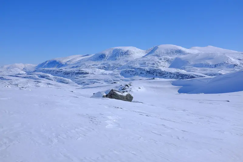
    Jotunheimen is a high mountain range in western Eastern Norway, covering approximately 3,500 square kilometers.

    Discover
    Lillehammer

    Photo by Barnabas Davoti on Unsplash

    Place 2 of 3

    Lillehammer

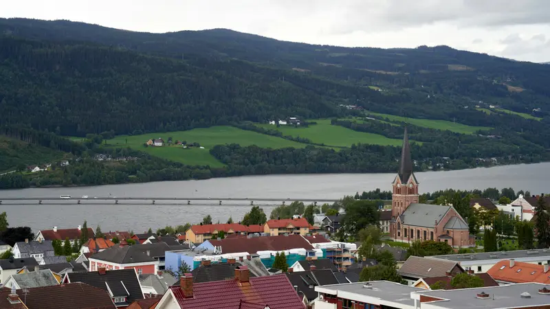
    Lillehammer is located approximately 200 kilometers north of Oslo on Lake Mjøsa, Norway's largest lake, and at the entrance to Gudbrandsdal. The city hosted the 1994 Winter Olympics, and many of its venues can still be visited today.

    Discover
    Fredrikstad

    Helge Høifødt / Wikimedia Commons / CC BY-SA 4.0, mod.

    Place 3 of 3

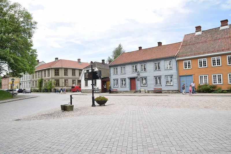
    Fredrikstad

    Fredrikstad is situated at the mouth of the Glomma, just over an hour south of Oslo. The reason for a visit is its Old Town, Gamlebyen, described by Visit Norway as Northern Europe's best-preserved fortified city.

    Discover

    Timber Art, Mining and Markets

    Stave Churches and Open-Air MuseumsThe Lom Stave Church dates from the 12th century. In Lillehammer, the Maihaugen Open-Air Museum showcases around 200 restored buildings, offering a glimpse into rural life in Gudbrandsdal.Copper and Winter Trade in RørosCopper was discovered in Røros in 1644, with mining only ceasing upon the company's bankruptcy in 1977. Since 1854, the Rørosmartnan winter market has taken place every February. It begins on the penultimate Tuesday of the month; in 2026, around 70,000 visitors attended.Fortress City on the GlommaKing Frederik II founded Fredrikstad in 1567 at the mouth of the Glomma. Until 2002, a garrison was stationed in the Old Town; today, people live and work behind its ancient walls.

    Exploring Eastern Norway

    By TrainThe Dovre Line connects Oslo with Trondheim in about seven hours; night trains also run on this route. In Dovrefjell, trains stop at Dombås, Hjerkinn, and Kongsvoll. You can book tickets via Entur, with services provided by Vy and SJ Nord, among others.By Car over the MountainsLillehammer is located approximately 200 kilometers north of Oslo. The Sognefjellsvegen (Fv55) runs for 108 kilometers from Lom to Gaupne, reaching an elevation of 1,434 meters. It is closed in winter between Rustasætre and Turtagrø; in recent years, it has opened between mid-April and early May.By Boat in JotunheimenFor the Besseggen hike, you usually take the boat across the Gjende from Gjendesheim to Memurubu; the crossing takes about 20 minutes.

    Nearby
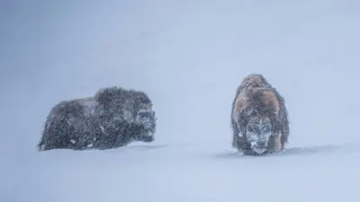
    Dovrefjell

    Dovrefjell

    The Dovrefjell is a high mountain range at the northern end of the Gudbrandsdal, along the railway line between Oslo and Trondheim. You come here to see musk oxen in their natural habitat and to gaze over the high plateau from the Pavillon Viewpoint Snøhetta.The area is home to two national parks, Dovre and Dovrefjell-Sunndalsfjella. The main starting point for visits is usually Hjerkinn, with its train stop, and further stops are available in Dombås and Kongsvoll.

    Kris-Mikael Krister·Unsplash

    Oslo

    Oslo

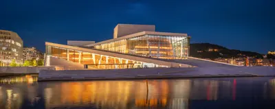
    Oslo, the capital of Norway, is located at the inner end of the Oslofjord, surrounded by forested hills, the Marka, and about 40 islands within the city area. For most travelers, it is the arrival point: Gardermoen Airport is located about 47 kilometers north and is connected by the Flytoget airport express.The city originated in the 11th century as a trading post and became a royal seat around 1300 under Håkon V., who also had Akershus Fortress built. After a fire in 1624, it was rebuilt as Christiania and has only been called Oslo again since 1925. Around the Bjørvika harbor and Aker Brygge, you will find the Opera House, the Munch Museum, and the City Hall today, where the Nobel Peace Prize is awarded every December. On the Bygdøy peninsula are museums dedicated to maritime and polar history.

    Pierre Blaché·Unsplash

    Røros

    Røros

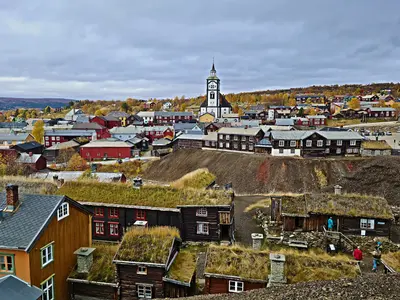
    Røros is an old mining town in the highlands on the Glomma, about two and a half hours by train southeast of Trondheim. Since 1980, it has been on the UNESCO World Heritage List, due to its approximately 2,000 wooden houses and traces of more than three centuries of copper mining.Copper was discovered here in 1644, and mining only ended with the bankruptcy of the works in 1977. In 1679, Swedish troops destroyed the town, which was then rebuilt. Besides the town, the World Heritage site also includes the smelter, the Femundshytta, the old winter transport route, and the Circumferensen, the area granted to the works in 1646 by royal privilege.In February, the Rørosmartnan winter market attracts tens of thousands of visitors to the town.

    Geir Hval·CC BY-SA 4.0

    Telemark

    Telemark

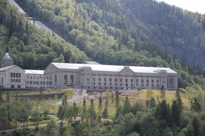
    Telemark is the region in the hinterland of Norway's south coast, stretching from Skien to the edge of the Hardangervidda mountain plateau. You come here for the UNESCO World Heritage site Rjukan-Notodden, a boat trip on the Telemark Canal, and Heddal Stave Church, Norway's largest stave church.Since 2015, the industrial landscape of Rjukan and Notodden has been part of the World Heritage. Norsk Hydro produced artificial fertilizers from atmospheric nitrogen here using hydropower; power plants, pipelines, factories, railways, and ferries are preserved. The Vemork power plant near Rjukan was, upon its completion in 1911, the largest of its kind worldwide.The 105-kilometer long Telemark Canal between Skien and Dalen was completed in 1892 and was then considered the "eighth wonder of the world."

    Linus Folke Jensen·CC BY-SA 4.0

    Nærøyfjord and Flåm

    Nærøyfjord and Flåm

    The approximately 17-kilometer Nærøyfjord is an arm of the Aurlandsfjord, which branches off the Sognefjord. At its narrowest, it is only 250 meters wide; since 2005, it has been UNESCO World Heritage. Access points are Gudvangen at its inner end and Flåm on the Aurlandsfjord, where the steep Flåmsbana ends. Ships between Flåm and Gudvangen travel through both fjords.

    Acediscovery·CC BY 4.0

    Your next steps

    East Norway and Gudbrandsdal is in Norway. Ways to carry on from here.

    • More in Norway

      Highlights, areas, routes and the best time to travel for all of Norway.

      Norway travel guide
    • Round trips in Norway

      Ready-made routes through Norway, with stops, nights and a map.

      See the routes
    • Plan a trip with East Norway and Gudbrandsdal

      The Guide asks about season, length and who is coming, and suggests a trip with East Norway and Gudbrandsdal.

      Plan the trip

    Sources & method

    • Photos: Wikimedia Commons. Each photo carries its credit.
    • The content is based on web research from public, traceable sources. How the content is made · The role of AI