Fernweh: Home
    ExploreTravel GuidesPlan a tripMy tripLast visited
    de|en
    All Places & RegionsAll highlightsAbout FernwehFAQPrivacy PolicyImprint
    ExploreTravel GuidesPlan a tripMy tripLast visited
    • Neighborhoods & highlights
    • Eat & drink
    • Culture
    • Getting around
    • Accommodation
    • Plan trip
    • Nearby
    Nefta
    Rawen Ab / Wikimedia Commons / CC BY-SA 4.0

    Tunisia

    Nefta

    City

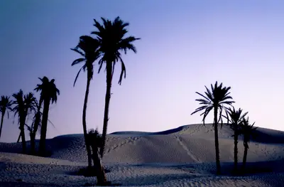
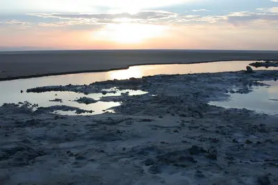
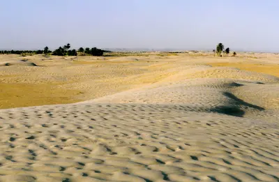
    Nefta is the second major oasis of the Djerid, about 25 kilometres west of Tozeur between the Chott el Djerid and the first sand dunes. The town is known for the Corbeille, a palm-filled rocky basin, and as the centre of Sufism in Tunisia.

    by Felix Gillen

    1. Home
    2. Destinations
    3. Tunisia
    4. Oases & Sahara
    5. Nefta
    Nefta is the second major oasis of the Djerid, about 25 kilometres west of Tozeur between the Chott el Djerid and the first sand dunes. The town is known for the Corbeille, a palm-filled rocky basin, and as the centre of Sufism in Tunisia.Nefta has just over 20,000 inhabitants and an old town of patterned mud brick. It lies close to the Algerian border on the edge of areas covered by official travel warnings: check the current travel advice, such as the UK FCDO Travel Advice, before you go.

    Sights in Nefta

    Discover the most important sights and attractions
    Corbeille

    1Corbeille

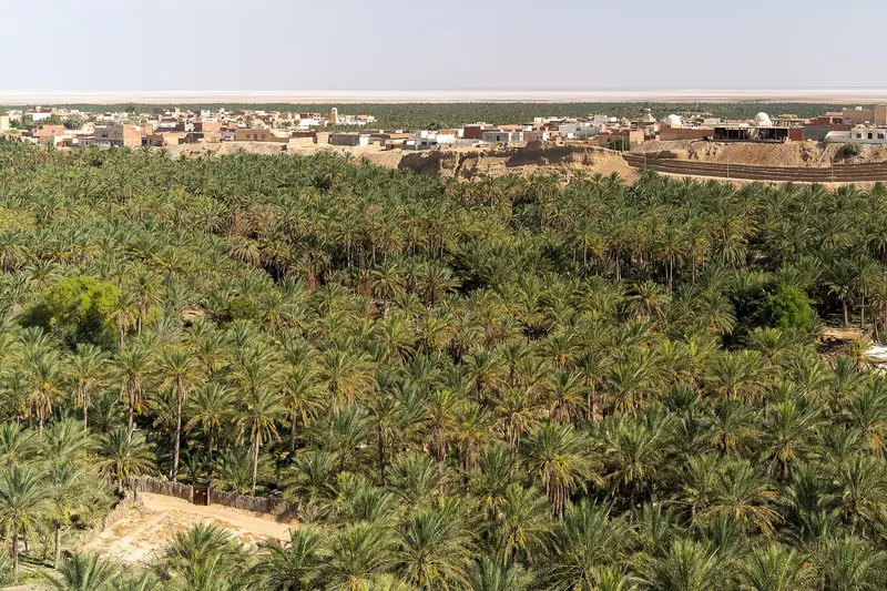
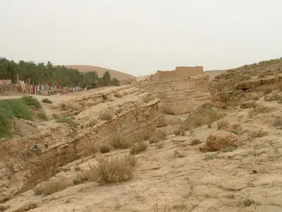
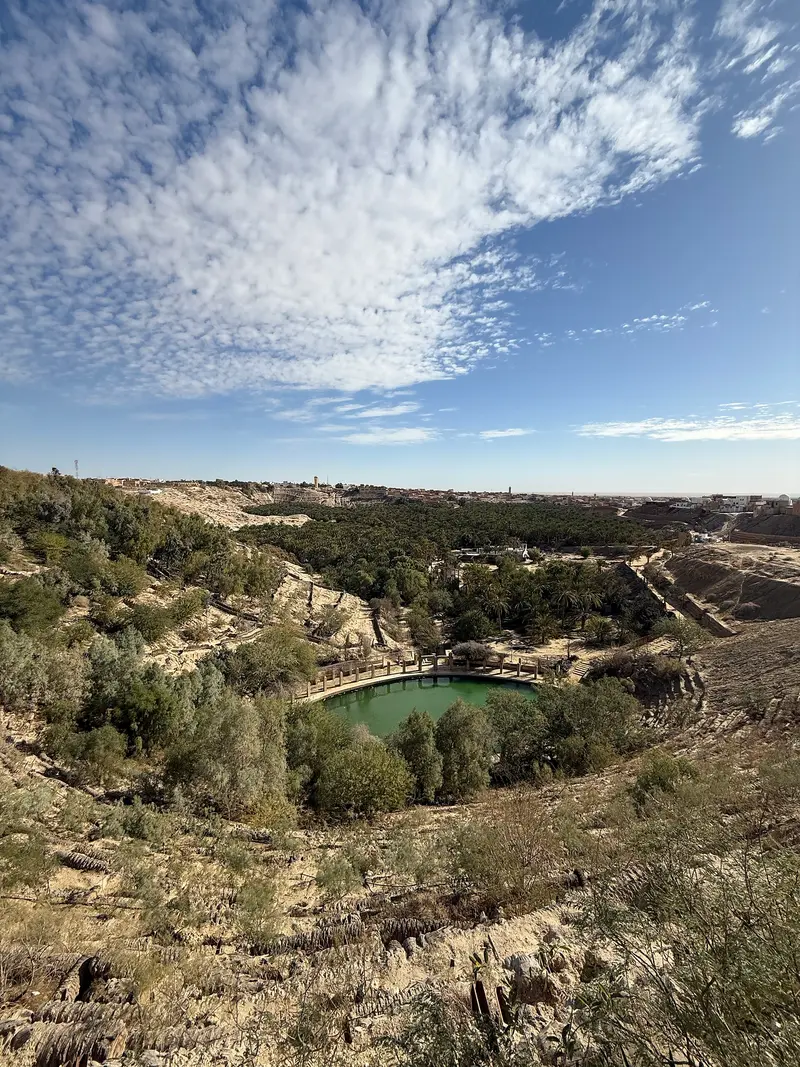
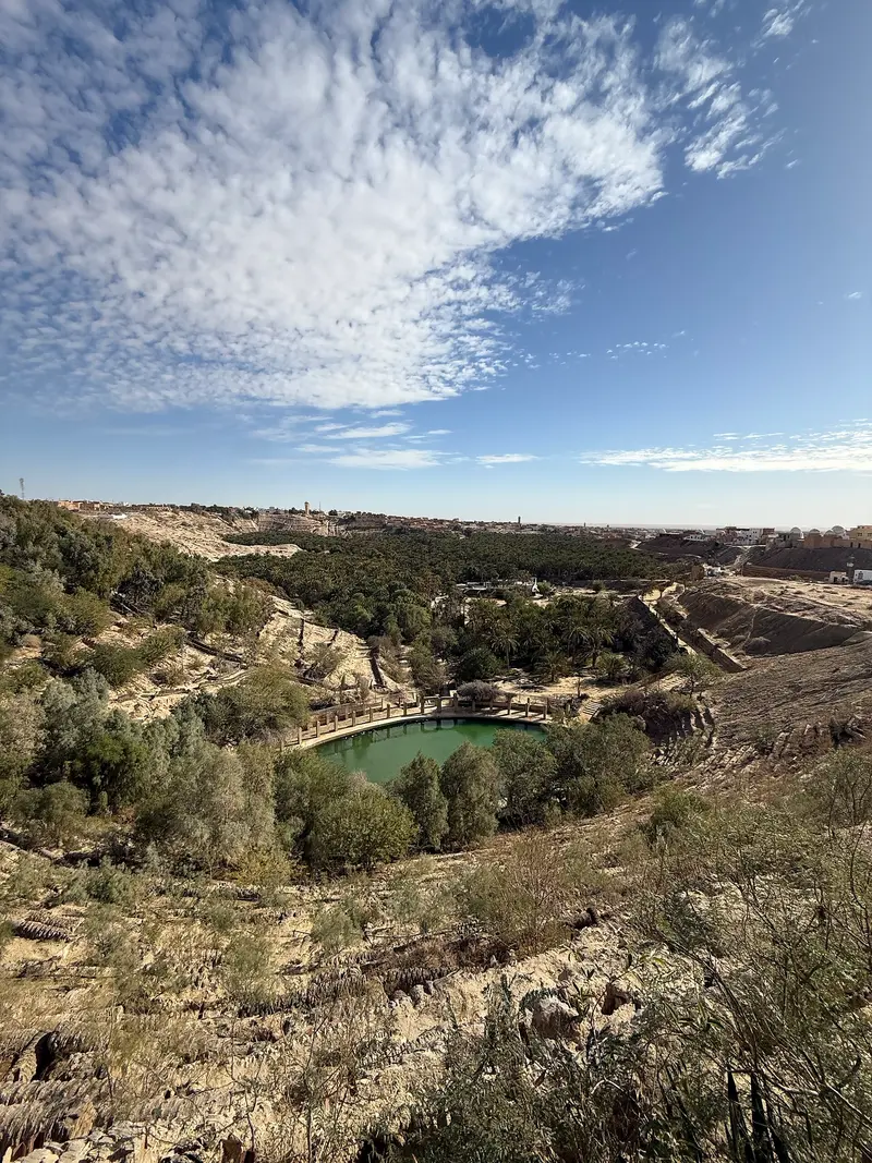
    A basin cut deep into the rock on the northern edge of the town, densely covered with palms. It was once fed by 152 springs, which in turn watered the palm grove; most of them have since dried up.
    Open in Google Maps
    Old Town of Nefta
    Historic Landmark

    2Old Town of Nefta

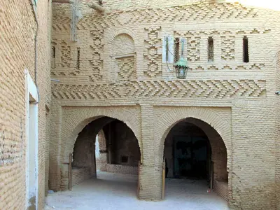
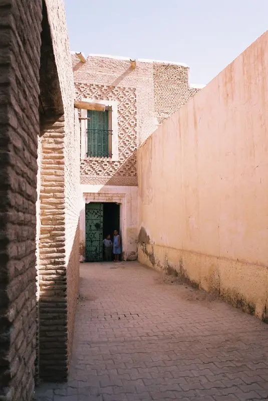
    The Old Town, like in Tozeur, is built from light mud bricks with ornamental patterns. Mosques and Zaouias lie between the alleys, including the Great Mosque Sidi Salem from the 15th century.
    Open in Google Maps
    Zaouia Sidi Bou Ali

    3Zaouia Sidi Bou Ali

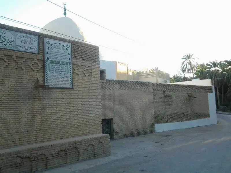
    Mausoleum of the Sufi saint Sidi Bou Ali in the Palmeraie, credited with leading Nefta to Sunni Islam in the 13th century. A pilgrimage takes place here every year.
    Open in Google Maps
    Palmeraie of Nefta

    4Palmeraie of Nefta

    The Palmeraie, also known as Ras el Aïn, covers a good 1,600 hectares and yields Deglet Nour dates. Many palm trees were lost when most springs dried up in the early 1980s.
    Open in Google Maps

    Restaurants in Nefta

    1

    Café Corbeille

    Café directly on the Corbeille, on the northern edge of the city. A stop during your stroll through the palm oasis.
    Show on Google Maps
    2

    Café Ejjouj

    Simple cafe in the center, not far from the Old Town.
    Show on Google Maps

    Legacy

    SufismFollowing the Islamic conquest, Nefta became a center of Sufism. The town counts around one hundred marabouts.Sidi Bou Ali: This saint is said to have introduced Sunni Islam to Nefta in the 13th century; an annual pilgrimage is made to his zaouia.Great Mosque of Sidi Salem: dating from the 15th century.Oasis and Palm GroveThe palm grove covers a good 1,600 hectares and produces Deglet Nour dates. Previously, 152 springs from the Corbeille irrigated the gardens, but most have dried up since the 1980s.FilmScenes for films like The English Patient and Star Wars were shot around Nefta. The set of Mos Espa is located in the desert near Ong Jemel, off the Nefta–Tozeur road. It lies close to the Algerian border and is visited with organized tours; check the current official travel advice beforehand.

    Arrival and Getting Around

    Getting ThereLouage: Shared taxis run regularly from TozeurPlane: Tozeur-Nefta Airport is located about 20 kilometers awayCar: National Road RN3 runs through the townAccommodation and DiningNefta has only a few restaurants. Many travelers stay in Tozeur and visit Nefta as a half-day trip.Travel and Safety AdviceCheck the current official travel advice before you go, for example the UK FCDO Travel Advice for Tunisia. The German Federal Foreign Office advises against travel south of the line from the Algerian border via Tozeur/Nefta to Douz, against the immediate border area with Algeria and against individual, unorganised desert tours.

    Accommodations in Nefta

    Find perfect stay in Nefta

    Booking.com* (Affiliate link)
    Search Hotels
    Agoda* (Affiliate link)
    Search Hotels
    Airbnb
    Vacation Rentals

    * Affiliate link: if you book through it, we earn a small commission. The price stays the same for you.

    Plan your trip to Nefta

    Save places, build a route and plan your city trip, all in one place.

    1. 1
      Sunrise over alpine peaks and a sea of clouds
      1234

      Round trip

      12 days · 4 stops

      Saved

      Pick a route

      Pick a ready-made one or save places and plan your own.

      Open bookmarks
    2. 2

      Trip to Nefta

      Live
      • 1Corbeille3 days
      • 2Old Town of Nefta4 days
      • 3Zaouia Sidi Bou Ali5 days
      Budget

      Plan your trip

      The planner sorts stops, days and budget. Plan together in real time.

      Start trip planning
    3. 3
      9:41 No signal
      Nefta
      Available offline

      Use it on the road

      Download the guide to your phone and use it on site, even offline.

    Nearby

    Tozeur

    Tozeur

    Tozeur is the main town of the Djerid in southwestern Tunisia, about 450 kilometres southwest of Tunis on the northern edge of the Chott el Djerid salt lake. You come for the Ouled el Hadef old town with its patterned brickwork and for the palm grove with around 400,000 date palms.The town has just under 40,000 inhabitants and is easy to explore on foot, by bicycle or by horse-drawn carriage. Tozeur lies on the edge of areas covered by official travel warnings: check the current travel advice, such as the UK FCDO Travel Advice, before you go.
    Mountain Oases Chebika, Tamerza & Midès

    Mountain Oases Chebika, Tamerza & Midès

    Chebika, Tamerza and Midès are three mountain oases about 50 to 75 kilometres northwest of Tozeur on the Algerian border. Springs feed waterfalls and palm gardens between bare rock walls, above them stand the ruins of mud-brick villages abandoned in 1969.The oases lie in the border area with Algeria, Midès directly on the border, an area official travel advice warns against: check the current travel advice, such as the UK FCDO Travel Advice, before making any plans.
    Oases & Sahara

    Oases & Sahara

    In southwestern Tunisia, steppe and mountains give way to the Sahara: palm oases such as Tozeur and Nefta, the Chott el Djerid salt lake and the dunes of the Grand Erg Oriental near Douz define the region. You travel here for brick-built old towns, date palms, the salt lake and the first sand dunes of the Sahara.The region borders Algeria and areas covered by official travel warnings. Check the current travel advice, such as the UK FCDO Travel Advice for Tunisia, before making any plans.
    Chott el Djerid

    Chott el Djerid

    The Chott el Djerid is a vast salt lake between Tozeur and Kebili in southwestern Tunisia, the largest salt flat in the Maghreb. You experience it on the causeway road from Tozeur to Douz, which runs across the white salt crust.Depending on the source and the water level, the lake covers 5,000 to over 7,000 square kilometres. It lies on the edge of areas covered by official travel warnings: check the current travel advice, such as the UK FCDO Travel Advice, before you go.
    Douz

    Douz

    Douz is known as the gateway to the Sahara: the oasis town in Kebili governorate lies about two hours' drive southeast of Tozeur on the edge of the Grand Erg Oriental. You come for the first big sand dunes, organised camel rides and the Festival international du Sahara in December.The town has around 30,000 inhabitants, most of them from the Mrazig tribe. Douz lies on the edge of areas covered by official travel warnings, and independent desert trips are advised against: check the current travel advice, such as the UK FCDO Travel Advice, before you go.

    Sources & method

    • Photos: Wikimedia Commons, Google Maps. Each photo carries its credit.
    • Place data such as addresses and ratings comes from Google Maps.
    • The content is based on web research from public, traceable sources. How the content is made · The role of AI