ExploreTravel GuidesMy Trips
    de|en
    All Places & RegionsAbout FernwehFAQPrivacy PolicyImprint
    ExploreTravel GuidesMy Trips
    Wamena
    Town

    Wamena

    Wamena is the only town in the Baliem Valley and a starting point for trekking tours into the villages of the Dani, Lani, and Yali.

    More
    1. Home
    2. Destinations
    3. Indonesia
    4. Baliem Valley, Papua
    5. Wamena
    Wamena is the only town in the Baliem Valley and a starting point for trekking tours into the villages of the Dani, Lani, and Yali. The market, where farmers from the surrounding area trade sweet potatoes and pigs, showcases the daily life of the highlands.
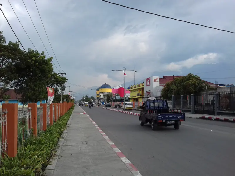
    Wamena is the largest town in the Baliem Valley and the capital of the Jayawijaya District. The town is only accessible by plane; many goods arrive the same way and are consequently expensive. In the center, you'll find the airfield, markets, and simple hotels. From here, you can travel to the villages in the valley, such as Jiwika with its mummy, to the white sand field Pasir Putih, or up to Lake Habbema. In Wamena, you can get around by Ojek, Minibus, or on foot.

    Sights in Wamena

    Discover the most important sights and attractions

    Mummy of Jiwika
    Attraction

    Mummy of Jiwika

    Smoked mummy of a war chief in Jiwika village in the north of the valley, which is shown for a fee.
    Open in Google Maps
    Pasir Putih
    Attraction

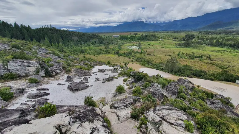
    Pasir Putih

    White sand area between hills east of Wamena, overlooking the valley.
    Open in Google Maps
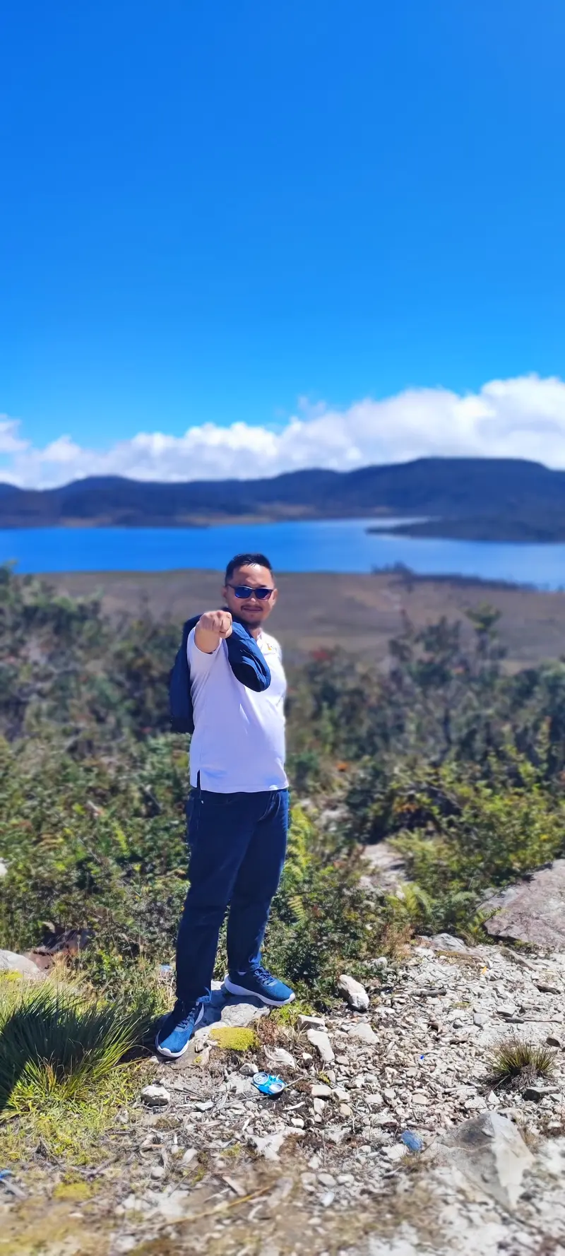
    Habbema Lake
    Attraction

    Habbema Lake

    Mountain lake at approx. 3,300m, amidst moor and grassland, on the edge of Lorentz National Park. Often clear mornings, later fog.
    Open in Google Maps

    Sights in Wamena

    Discover the most important sights and attractions
    Mummy of Jiwika
    Attraction

    1Mummy of Jiwika

    Smoked mummy of a war chief in Jiwika village in the north of the valley, which is shown for a fee.
    Open in Google Maps
    Pasir Putih
    Attraction

    2Pasir Putih

    White sand area between hills east of Wamena, overlooking the valley.
    Open in Google Maps
    Habbema Lake
    Attraction

    3Habbema Lake

    Mountain lake at approx. 3,300m, amidst moor and grassland, on the edge of Lorentz National Park. Often clear mornings, later fog.
    Open in Google Maps

    Restaurants in Wamena

    1

    Social Space By Family

    Restaurant with Indonesian cuisine in Wamena.
    Show on Google Maps

    Eating and Drinking

    Warungs

    Humble eateries with rice, chicken, fish and vegetables, often run by Javanese and Sulawesi migrants.

    Udang Selingkuh

    Freshwater crayfish from the Baliem River, a local specialty.

    Culture

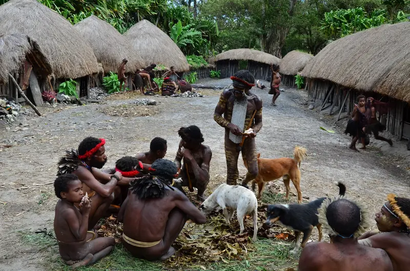
    Wamena is a meeting point for the Dani, Lani, and Yali from the highlands, as well as Indonesian migrants from other provinces. In the markets, sweet potatoes, pigs, and net bags (noken) are traded, which UNESCO has recognized as intangible cultural heritage. Respect local requests when taking photos.

    Getting There and Around

    Getting ThereWamena can only be reached by plane. Flights connect Jayapura (Sentani) with Wamena several times daily, with a flight time of approximately 40 minutes. Flights may be delayed in bad weather.SafetyBefore traveling, please check the current safety advisories, as past unrest has also affected Wamena.

    Day Trips

    Habbema Lake

    Mountain lake at around 3,300 m on the edge of Lorentz National Park, 4x4 drive.

    Valley Trekking

    Multi-day guided hikes through Dani, Lani and Yali villages.

    Accommodations in Wamena

    Find perfect stay in Wamena

    Booking.com* (Affiliate link)
    Search Hotels
    Agoda* (Affiliate link)
    Search Hotels
    Airbnb
    Vacation Rentals

    * Affiliate link: if you book through it, we earn a small commission. The price stays the same for you.

    Nearby

    Baliem Valley, Papua
    Lasthib / Wikimedia Commons / CC BY-SA 4.0

    Baliem Valley, Papua

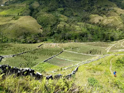
    The Baliem Valley in Papua's central highlands was only discovered by outsiders in 1938. The Dani and neighboring peoples still live here in traditional villages; trekking routes lead through valleys and over suspension bridges. The valley is only accessible by plane.
    Waigeo

    Waigeo

    Waigeo is the largest island of Raja Ampat. Here lies the main town Waisai with its ferry port, surrounded by the islands Kri, Gam and Arborek with homestays, as well as the karst landscape of Piaynemo.
    Banda Islands (Moluccas)
    Hike Indonesia / Wikimedia Commons / CC BY 2.0

    Banda Islands (Moluccas)

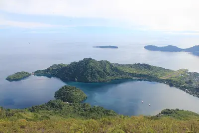
    The Banda Islands in the Banda Sea were for centuries the sole source of nutmeg and the site of bloody colonial conflicts. Today, fortresses and plantations recall this era, and around the Gunung Api volcano lie intact coral reefs.
    Banda Neira
    Anton Leddin / Wikimedia Commons / CC BY-SA 3.0

    Banda Neira

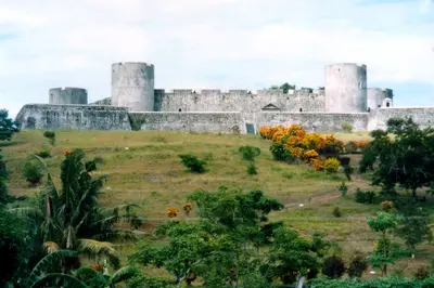
    Banda Neira is the main town of the Banda Islands. Fort Belgica, colonial houses of the Dutch nutmeg planters, and the view of the opposite volcano Gunung Api define the small island town.
    Raja Ampat (West-Papua)

    Raja Ampat (West-Papua)

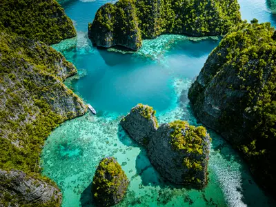
    Raja Ampat, off the western tip of New Guinea, consists of around 1,500 islands, reefs, and sandbanks. The region is located in the Coral Triangle and is considered one of the most biodiverse marine areas on Earth.