Fernweh: Home
    ExploreTravel GuidesPlan a tripMy tripLast visited
    de|en
    All Places & RegionsAll highlightsAbout FernwehFAQPrivacy PolicyImprint
    ExploreTravel GuidesPlan a tripMy tripLast visited
    Matmata
    LBM1948 / Wikimedia Commons / CC BY-SA 4.0

    Tunisia

    Matmata

    Point of Interest

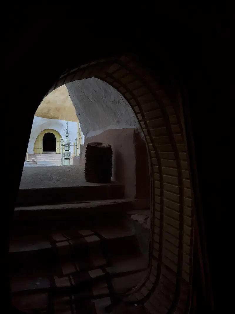
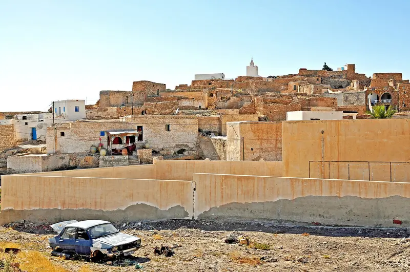
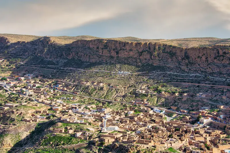
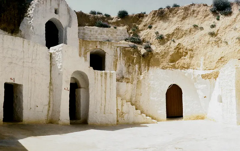
    Matmata is a Berber village about 600 m high, 40 km southwest of Gabès in southern Tunisia. You visit to see the dwellings dug into the earth around a deep courtyard, including the Hotel Sidi Driss, a filming location for 'Star Wars'.

    by Felix Gillen

    1. Home
    2. Destinations
    3. Tunisia
    4. Djerba & the Southeast
    5. Matmata
    Matmata is a Berber village about 600 m high, 40 km southwest of Gabès in southern Tunisia. You visit to see the dwellings dug into the earth around a deep courtyard, including the Hotel Sidi Driss, a filming location for 'Star Wars'.The old village is small and easily explored on foot. New Matmata, the current main town, is approximately 15 km away.

    Sights in Matmata

    Discover the most important sights and attractions

    Hotel Sidi Driss

    1Hotel Sidi Driss

    The traditional cave house, with approximately 20 rooms around a circular courtyard, served in 1976 as Luke Skywalker's home in 'Star Wars' and again in 2002 in 'Attack of the Clones'. Inquire locally about current guest reception times.
    Open in Google Maps
    Tamezret

    2Tamezret

    Stone Berber village on a 460 m high hill, about 10 km west of Matmata on the road to Douz. A small Berber museum tells of the traditions and history of the place.
    Open in Google Maps
    Toujane
    Attraction

    3Toujane

    Mountain Berber village, 25 km from Matmata and 38 km from Médenine, founded in the 12th century. The Matmata-Médenine mountain road runs through it.
    Open in Google Maps

    Restaurants in Matmata

    1

    Café Restaurant La Princesse

    Café-restaurant on Avenue Habib Bourguiba, the main street of old Matmata.
    Show on Google Maps
    2

    Restaurant Chez Abdoul

    Simple restaurant in old Matmata, a short walk from the cave dwellings.
    Show on Google Maps

    Culture

    Life Underground A large pit was dug for Matmata's houses. The rooms are artificial caves arranged around this courtyard; some complexes connect several pits via narrow passages. Temperatures inside the dwellings remain constant: around 15 °C in January and 23 to 25 °C in July. Some families offer tours of their homes for a tip; your hotel can arrange the visit. Language and Villages Berber is still spoken in the neighbouring village of Tamezret, but hardly any more in Matmata itself. The old mountain village is now largely deserted; many residents live in New Matmata. Security Notice Matmata is located north of the line for which the German Federal Foreign Office advises against travel to the south, but is already in the country's south. Before your trip, check the current UK FCDO travel advice for Tunisia and, if you travel from Germany, the advice of the German Federal Foreign Office.

    Getting There and Around

    Getting There From Gabès: Louages and buses operate daily to Matmata; by car, it's about 45 minutes. Gabès is reachable by train from Tunis. Correct Destination: Some connections end in New Matmata, about 15 km from the old village. Ask for Matmata Ancienne when boarding. From Djerba: Via the El Kantara causeway or the Jorf-Ajim ferry, then on to Gabès; usually as a day trip by rental car, louage, or organized tour. On-site On Foot: The old village is small, all paths are walkable. Further Travel: Tamezret is about 10 km west on the road towards Douz, Toujane about 25 km east on the mountain road to Médenine.

    Accommodations in Matmata

    Find perfect stay in Matmata

    Booking.com* (Affiliate link)
    Search Hotels
    Agoda* (Affiliate link)
    Search Hotels
    Airbnb
    Vacation Rentals

    * Affiliate link: if you book through it, we earn a small commission. The price stays the same for you.

    Nearby

    Gabès

    Gabès

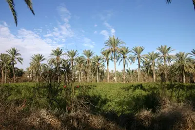
    Gabès, a port city on the Gulf of Gabès in southeastern Tunisia, lies about 400 km south of Tunis on the mainland west of Djerba. You come for its palm oasis right by the sea, considered the Mediterranean's sole coastal oasis, and for the henna market in the Jara quarter. The city, with over 100,000 inhabitants, is the terminus for the Tunis railway line and a starting point for Matmata. Worth seeing are the old quarters Jara and Menzel, the Mausoleum of patron saint Sidi Boulbaba, and the Chenini oasis.
    Djerba & the Southeast

    Djerba & the Southeast

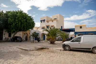
    Southeastern Tunisia links the flat island of Djerba in the Gulf of Gabès with the arid mountainous region around Matmata, approximately 40 km southwest of Gabès. You come for Djerba's beaches and its villages, whose settlement pattern has been a UNESCO World Heritage Site since 2023, and for the Berber cave dwellings dug into the ground. Djerba has its own international airport and is the usual base for the region.
    Djerba

    Djerba

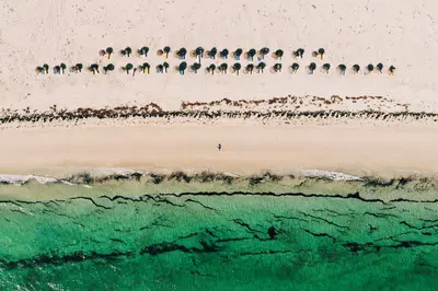
    Djerba is a flat island in the Gulf of Gabès, in southeastern Tunisia, and has been a UNESCO World Heritage site since 2023. You go there for long sandy beaches on the northeast coast, the souks of Houmt Souk, and villages like Erriadh and Guellala, where Jewish, Ibadite, and Berber traditions coexist. The island, covering approximately 514 km², has a population of just under 190,000 (2024 census). Its main town is Houmt Souk in the north, and hotels are primarily located along the coast around Sidi Mahrez. Public transport is limited; most journeys are made by taxi, rental car, or bicycle.
    Douz

    Douz

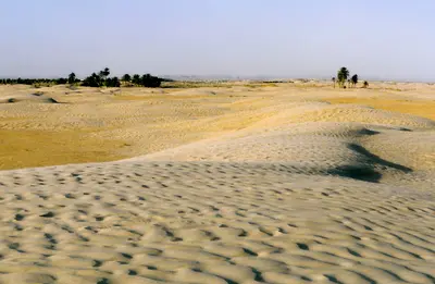
    Douz is known as the gateway to the Sahara: the oasis town in Kebili governorate lies about two hours' drive southeast of Tozeur on the edge of the Grand Erg Oriental. You come for the first big sand dunes, organised camel rides and the Festival international du Sahara in December.The town has around 30,000 inhabitants, most of them from the Mrazig tribe. Douz lies on the edge of areas covered by official travel warnings, and independent desert trips are advised against: check the current travel advice, such as the UK FCDO Travel Advice, before you go.
    Chott el Djerid

    Chott el Djerid

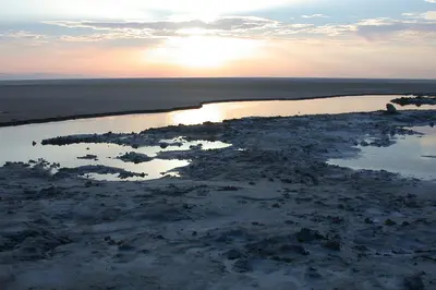
    The Chott el Djerid is a vast salt lake between Tozeur and Kebili in southwestern Tunisia, the largest salt flat in the Maghreb. You experience it on the causeway road from Tozeur to Douz, which runs across the white salt crust.Depending on the source and the water level, the lake covers 5,000 to over 7,000 square kilometres. It lies on the edge of areas covered by official travel warnings: check the current travel advice, such as the UK FCDO Travel Advice, before you go.

    Sources & method

    • Photos: Wikimedia Commons, Google Maps. Each photo carries its credit.
    • Place data such as addresses and ratings comes from Google Maps.
    • The content is based on web research from public, traceable sources. How the content is made · The role of AI