Fernweh: Home
ExploreGuideDestinationsMy tripsMy trip
de|en
All Places & RegionsRound tripsNight trains in EuropeAll highlightsAbout FernwehFAQPrivacy PolicyImprint
Download on the App StoreGet it on Google Play
ExploreGuideDestinationsMy tripsMy trip
    • Places in the region
    • Culture
    • Getting around
    • Nearby
    Skeleton Coast

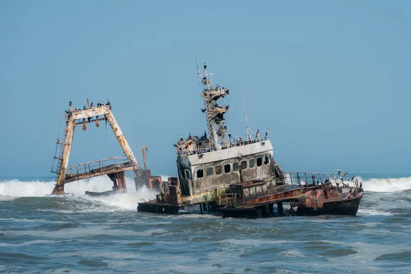
    Photo by Nicola Toscan on Pexels

    Namibia

    Skeleton Coast

    Region

    The Skeleton Coast in the northwest is a desert strip between the Atlantic and dunes, known for fog, shipwrecks, and solitude.

    by Felix Gillen

    1. Home
    2. Destinations
    3. Namibia
    4. Skeleton Coast
    The Skeleton Coast in the northwest is a desert strip between the Atlantic and dunes, known for fog, shipwrecks, and solitude. The Skeleton Coast Park (16,390 km²) covers about 500 km from Ugab to Kunene and requires a booking or permit for entry. South of this is Cape Cross, home to the largest Cape fur seal breeding colony and replicas of the stone cross Diogo Cão erected here in 1486.
    Namibia travel guideRound trips in NamibiaPlan a trip with Skeleton Coast

    Contents

    • Places in the region
    • Culture
    • Getting around
    • Nearby

    Sights in Skeleton Coast

    Discover the most important sights and attractions

    Park

    Cape Cross Seal Reserve

    In the 60 km² reserve, founded in 1968, lies the largest breeding colony of the Cape Fur Seal, with up to 210,000 animals during the breeding season in November and December. Beside it stand replicas of the stone pillar (Padrão) that Diogo Cão erected here in 1486; the original came to Germany in 1893.
    Open in Google Maps

    Terrace Bay

    The northernmost point in Skeleton Coast Park accessible by car is 166 km past the Ugab Gate. It offers accommodation from the state park company and a refueling station; entry is only with a booking or permit.
    Open in Google Maps

    Nature and History

    Fog DesertThe cold Benguela Current generates fog at night, which sometimes extends more than 100 km inland. On the coast, the sun only shines 5 to 7 hours a day.Cape CrossIn 1486, the Portuguese navigator Diogo Cão erected a stone cross (Padrão) here. The original was brought to Germany in 1893; today, replicas stand at the cape. The seal reserve was established in 1968.ShipwrecksThe well-known wreck of the Eduard Bohlen from 1909 is not located in the park, but further south in Conception Bay on the Namibian coast, today approximately 400 m from the sea.

    Directions and Rules

    AccessYou enter the Skeleton Coast Park via the Ugab Gate in the south or the Springbokwasser Gate on the C39 from Damaraland. Transit permits are issued at the gates; overnight stays in Torra Bay or Terrace Bay must be booked in advance. Off-road driving is prohibited.FeesThe Skeleton Coast and Cape Cross fall into the highest fee category: as of April 2026, N$ 280 per adult per day plus a vehicle fee.TipsPlan fuel stops in advance; fuel is only available in Terrace Bay within the park.Cape Cross is located south of the park and can be visited from Swakopmund.

    Nearby

    Damaraland and Twyfelfontein

    Damaraland and Twyfelfontein

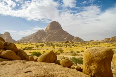
    Damaraland zwischen Swakopmund und Etosha ist eine Landschaft aus Tafelbergen, Felskuppen und trockenen Flussbetten, in denen Wüstenelefanten leben. Hier liegen die Felsgravuren von Twyfelfontein, seit 2007 UNESCO-Welterbe, der Brandberg mit dem höchsten Gipfel Namibias und die markante Spitzkoppe. Viele Unterkünfte liegen in kommunalen Hegegebieten (Conservancies).

    m_oros·Unsplash

    Swakopmund

    Swakopmund

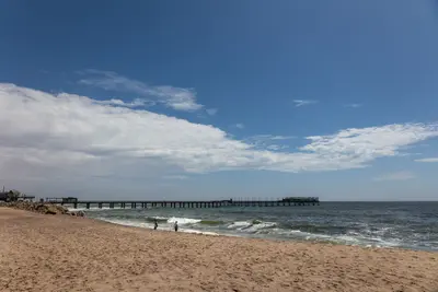
    Founded in 1892, Swakopmund on the Atlantic coast is Namibia's most German-influenced town, featuring a lighthouse, Woermannhaus, and old railway station. It lies approximately 350 km west of Windhoek, where the Namib Desert meets the sea, and serves as the main hub for dune activities. The cold Benguela Current brings cool temperatures and frequent morning fog.

    Jörg Hamel·Pexels

    Walvis Bay

    Walvis Bay

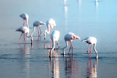
    The port city of Walvis Bay, south of Swakopmund, lies on a lagoon protected since 1995 as a Ramsar wetland, attracting tens of thousands of waterfowl, including large flamingo flocks. South of the city, the Namib begins; about 55 km away is Sandwich Harbour, where dunes drop directly into the sea.

    Nicola Toscan·Pexels

    Etosha National Park

    Etosha National Park

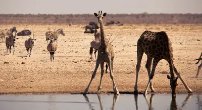
    Etosha National Park in the north is Namibia's premier safari destination: Around the approximately 4,800 km² Etosha Salt Pan, the Ministry of Environment reports 114 mammal and over 400 bird species, including elephants, black rhinos, and lions. The Ministry states its area as 22,935 km², the area has been protected since 1907. The camps Okaukuejo, Halali, and Namutoni have floodlit waterholes.

    Bernd Dittrich·Unsplash

    Waterberg Plateau Park

    Waterberg Plateau Park

    The Waterberg Plateau is a sandstone massif about 50 km long, rising steeply from the plains north of Windhoek. Established in 1972, the 405 km² park offers overnight stays at Bernabé de la Bat rest camp, located at the cliff foot. The plateau is conveniently located as a stopover on the way from Windhoek to Etosha.

    JMK·CC BY-SA 4.0

    Your next steps

    Skeleton Coast is in Namibia. Ways to carry on from here.

    • More in Namibia

      Highlights, areas, routes and the best time to travel for all of Namibia.

      Namibia travel guide
    • Round trips in Namibia

      Ready-made routes through Namibia, with stops, nights and a map.

      See the routes
    • Plan a trip with Skeleton Coast

      The Guide asks about season, length and who is coming, and suggests a trip with Skeleton Coast.

      Plan the trip

    Sources & method

    • Photos: Pexels. Each photo carries its credit.
    • Place data such as addresses and ratings comes from Google Maps.
    • The content is based on web research from public, traceable sources. How the content is made · The role of AI