Fernweh: Home
ExploreGuideDestinationsMy tripsMy trip
de|en
All Places & RegionsRound tripsNight trains in EuropeAll highlightsAbout FernwehFAQPrivacy PolicyImprint
Download on the App StoreGet it on Google Play
ExploreGuideDestinationsMy tripsMy trip
    • Neighborhoods & highlights
    • Eat & drink
    • Culture
    • Getting around
    • Accommodation
    • Plan trip
    • Nearby
    Andenes

    Wolfgang Hägele / Wikimedia Commons / CC BY-SA 4.0, mod.

    Norway

    Andenes

    City

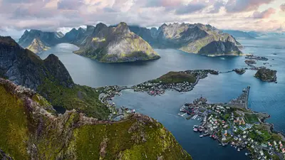
    Andenes is located at the northern tip of Andøya island in Vesterålen and is the starting point of the National Tourist Route Andøya.

    by Felix Gillen

    1. Home
    2. Destinations
    3. Norway
    4. Vesterålen
    5. Andenes
    Andenes is located at the northern tip of Andøya island in Vesterålen and is the starting point of the National Tourist Route Andøya. You primarily come here for whale safaris to the sperm whales off the coast and for the drive along the open outer coast.The main whale safari season runs from late May to mid-September, with fewer boats operating in winter. Sightings are not guaranteed. South of Andenes lies Bleik with its long sandy beach and the bird cliff Bleiksøya. Space operations have been conducted on Andøya since 1962; during launches from Andøya Spaceport, the road near Børvågen can be closed for up to 8 hours.The whale center The Whale is under construction, with its opening planned for June 2027. In summer, a ferry operates from Andenes to Gryllefjord on Senja.
    Norway travel guideRound trips in NorwayPlan a trip with Andenes

    Contents

    • Neighborhoods & highlights
    • Eat & drink
    • Culture
    • Getting around
    • Accommodation
    • Nearby

    Sights in Andenes

    Discover the most important sights and attractions

    Natural Feature

    1Bleiksøya

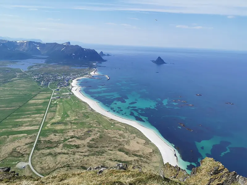
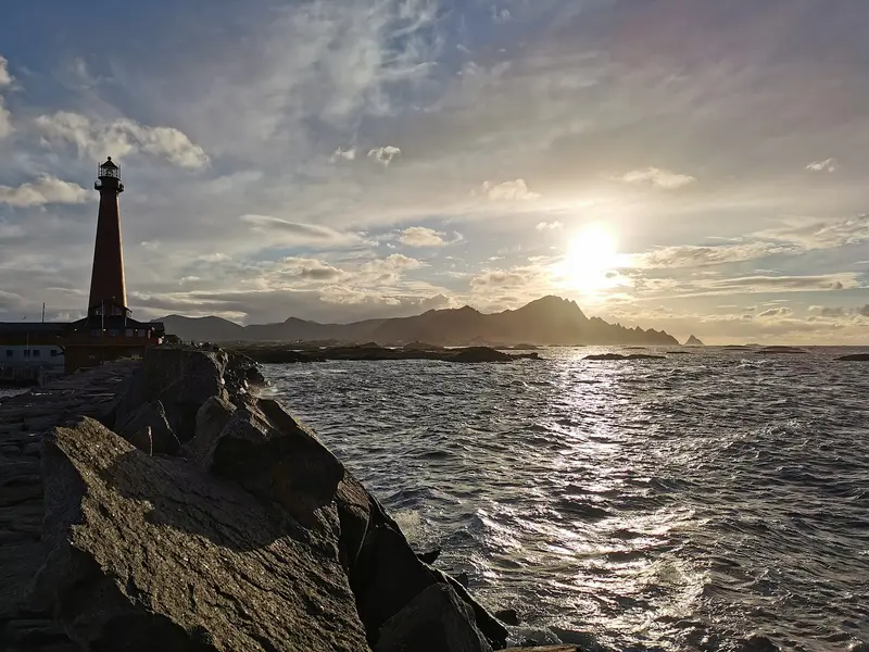
    The small island off Bleik is a bird cliff and well visible from the beach. It is one of the stops along the National Tourist Route Andøya.
    Open in Google Maps
    Point of Interest

    2National Tourist Route Andøya and Kleivodden Rest Area

    The National Tourist Route Andøya runs 58 kilometers along the outer coast between Andenes and Bjørnskinn. The Kleivodden rest area south of Andenes is one of its designed stops by the sea. You may not empty motorhome toilets at the rest areas; a disposal station is available in Andenes.
    Open in Google Maps
    Bleik and Bleik Beach

    Wolfgang Hägele / Wikimedia Commons / CC BY-SA 4.0, mod.

    Beach

    3Bleik and Bleik Beach

    The village of Bleik on the Andøya scenic route lies on a long sandy beach. It includes the Bleikmorenen Nature Reserve, and off the coast is the Bleiksøya bird cliff.
    Open in Google Maps
    Natural Feature

    4Rest Area Bukkekjerka

    Bukkekjerka is, alongside Kleivodden, one of the rest stops on the National Tourist Route Andøya, further south on the island towards Bjørnskinn.
    Open in Google Maps
    Point of Interest

    5Måtinden

    According to Nasjonale turistveger, Måtinden near Nordmela is the most popular peak along the Andøya Scenic Route. From the top, you look out over the island's outer coast.
    Open in Google Maps

    Restaurants in Andenes

    Whales, Space Travel and Coast

    Whale SafariSperm whales live off Andenes, and whale safaris depart from the town. The peak season runs from late May to mid-September; fewer boats operate in winter. Sightings are not guaranteed. Compare boat size and trip duration of providers before booking.Space Activities on AndøyaSince 1962, space activities have been conducted on Andøya. During launches from Andøya Spaceport, the road near Børvågen may be closed for up to 8 hours.The WhaleThe visitor center The Whale in Andenes is still under construction, with opening planned for June 4, 2027.

    Getting here & around

    By CarThe National Tourist Route Andøya runs for 58 kilometers between Andenes and Bjørnskinn along the outer coast. Expect road closures near Børvågen during rocket launches. Do not empty campervan toilets at rest stops; a disposal station is available in Andenes.By FerryIn summer, a ferry runs from Andenes to Gryllefjord on the island of Senja.

    Accommodations in Andenes

    Find perfect stay in Andenes

    Booking.com* (Affiliate link)
    Search Hotels
    Agoda* (Affiliate link)
    Search Hotels
    Airbnb
    Vacation Rentals

    * Affiliate link: if you book through it, we earn a small commission. The price stays the same for you.

    Campgrounds in Andenes

    Find perfect campground in Andenes

    Search via Google Maps
    Campgrounds nearby (15km)
    Camping.info
    Find Campgrounds
    Park4Night
    RV Parks & Camping

    Plan your trip to Andenes

    Save places, build a route and plan your city trip, all in one place.

    1. 1
      Sunrise over alpine peaks and a sea of clouds
      1234

      Round trip

      12 days · 4 stops

      Saved

      Pick a route

      Pick a ready-made one or save places and plan your own.

      Open bookmarks
    2. 2

      Trip to Andenes

      Live
      • 1Bleiksøya3 days
      • 2National Tourist Route Andøya and Kleivodden Rest Area4 days
      • 3Bleik and Bleik Beach5 days
      Budget

      Plan your trip

      The planner sorts stops, days and budget. Plan together in real time.

      Start trip planning
    3. 3
      9:41 No signal
      Andenes
      Available offline

      Wolfgang Hägele / Wikimedia Commons / CC BY-SA 4.0, mod.

      Use it on the road

      Download the guide to your phone and use it on site, even offline.

    Nearby

    Vesterålen

    Vesterålen

    The Vesterålen are the island group north of the Lofoten, featuring the island Andøya and the town Andenes at its northern tip. You come here for whale safaris from Andenes, the National Tourist Route Andøya, and a quieter landscape than the Lofoten.The tourist route runs 58 kilometers along the outer coast between Andenes and Bjørnskinn, passing Bleik beach. In summer, a ferry connects Andenes with Gryllefjord on Senja. The Vesterålen is also home to Kvitnes Gård, the only restaurant in Northern Norway with a Michelin Star.

    Gjermund Gustavsen·Unsplash

    Narvik

    Narvik

    Narvik is the port city in the north of Nordland province, at the ice-free end of the Iron Ore Line from Sweden. You come here for the history of the Battle of Narvik in the Second World War, the train journey on the Ofotbanen, and the local mountain Narvikfjellet with views over the Ofotfjord.The Ofotbanen brings iron ore from the Swedish mines around Kiruna to the port, its Norwegian section to the border is 43 kilometers long. The War Museum tells of the Battle of Narvik, the naval battles and occupation; the Narvik Museum, of its rise to an industrial city.Narvikfjellet's ski resort is expanding for the 2029 Alpine World Ski Championships, with a new gondola set to open in January 2027. Within walking distance of the center are a roughly 5,000-year-old rock carving at Brennholtet and the Arctic Sauna in the harbor.

    Kristian Nordvik·Pexels

    Tromsø

    Tromsø

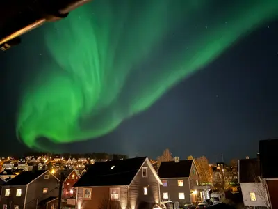
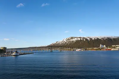
    Tromsø, located on the island of Tromsøya, is the administrative center of Troms province and one of the most important destinations for Northern Lights trips in Northern Norway. The city lies within the Aurora Zone, and according to Visit Tromsø, you can see the Northern Lights from late August to early April, though there is no guarantee.From approximately May 18th to July 26th, the sun does not set; due to the surrounding mountains, it is usually visible from May 21st to July 21st. During the Polar Night, from approximately November 26th to January 15th, it does not rise above the horizon. The landmark is the Eismeerkathedrale, built in 1965, on the mainland shore opposite the center. Behind it, the Fjellheisen cable car leads to the Storsteinen viewpoint.In the compact center, you'll find the wooden Domkirche from 1861, the Polarmuseum in a warehouse dating back to 1837, the Polaria aquarium, and the Mack Brewery with its Ølhallen. In February 2027, the Nordlysfestivalen music festival will take place from February 11th to 20th.

    Virtual-Pano·CC BY-SA 4.0

    Svolvær

    Svolvær

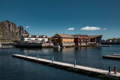
    Svolvær, located on the island of Austvågøya, is one of the two towns in Lofoten and for many, the first stop on the island chain. It serves as a base for exploring eastern Lofoten, with Kabelvåg and Henningsvær just a short distance away.In town, the Lofoten Krigsminnemuseum recounts World War II and the 1941 Lofoten Raid. A few kilometers southwest lies Kabelvåg, the ancient Vágar, considered the cradle of the Lofoten fishery. There you'll find the wooden church Lofotkatedralen, and in Storvågan, the Lofotmuseum, the Lofotakvariet, and the Espolin Gallery.Henningsvær is known for its football pitch on leveled rock at the southern tip of Hellandsøya. Svolvær has an airport in Helle and a Hurtigruten quay; a ferry also runs to Skutvik on the mainland.

    Tobias Bjørkli·Pexels

    Lofoten

    Lofoten

    The Lofoten Islands are an archipelago in Northern Norway, with the town of Leknes situated about 170 kilometers north of the Arctic Circle. The main islands are Austvågøya, Vestvågøya, Flakstadøya, and Moskenesøya, with Værøy and Røst located further south; Svolvær and Leknes hold city status, while Henningsvær, Reine, and Å are well-known villages.For over 1,000 years, cod has been caught here in winter, when the fish migrate from the Barents Sea to spawn. Despite their latitude, the winters are unusually mild. In Svolvær, the Midnight Sun shines from May 25th to July 17th, and in winter, travelers come for the Northern Lights. The E10 connects the main islands to the mainland via bridges and underwater tunnels; ferries operate from Bodø to Moskenes, and airports are located in Leknes and Svolvær. There is no railway; the nearest train stations are Bodø and Narvik.

    Joshua Kettle·Unsplash

    Your next steps

    Andenes is in Norway. Ways to carry on from here.

    • More in Norway

      Highlights, areas, routes and the best time to travel for all of Norway.

      Norway travel guide

    • Round trips in Norway

      Ready-made routes through Norway, with stops, nights and a map.

      See the routes

    Sources & method

    • Photos: Wikimedia Commons. Each photo carries its credit.
    • Place data such as addresses and ratings comes from Google Maps.
    • The content is based on web research from public, traceable sources. How the content is made · The role of AI