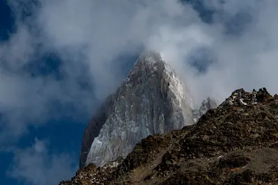
Aysén is Chile's least populated region: The 2024 census counted around 100,000 inhabitants. Glaciers, fjords, coastal rainforest, and dry eastern steppe lie side-by-side here within just a few hundred kilometers.
Aysén is Chile's least populated region: The 2024 census counted around 100,000 inhabitants. Glaciers, fjords, coastal rainforest, and dry eastern steppe lie side-by-side here within just a few hundred kilometers. The Carretera Austral connects the few settlements and is the guiding thread for most travelers through the region.
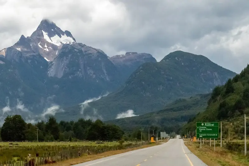
The Aysén Region stretches from the Pacific with its fjords and islands, across the Andes, to the Argentine border. More than half the population lives in the municipality of Coyhaique, which serves as both a supply center and the starting point for almost all tours. The Carretera Austral (Ruta 7) traverses the region from north to south, partly paved, partly gravel, passing Queulat National Park, Cerro Castillo, and Lago General Carrera with its Marble Caves. Laguna San Rafael and its glacier can only be reached by boat or small plane. Between towns, there are often long stretches without gas stations or shops; travel here requires time and planning. Most accommodations, ferries, and boat tours operate from December to March.
Place 1 of 3
Coyhaique
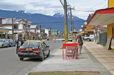
Coyhaique is the capital of the Aysén Region and the only major city on the Carretera Austral. Here you can stock up for your onward journey, and most tours to the surrounding national parks and reserves depart from here.
Discover the most important sights and attractions
Reserva Nacional Coyhaique
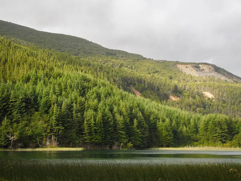
Established in 1948, the protected area begins approximately 5 kilometers northeast of Coyhaique on the slope of the 1,361-meter-high Cerro El Cinchao. Hiking trails lead through forests of Lenga and Coihue to the Verde, Venus, and Los Sapos lagoons.
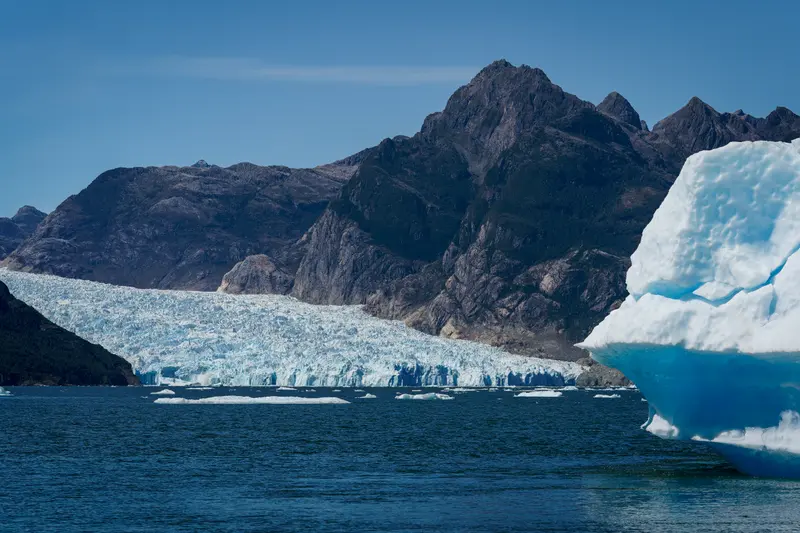
Into the lagoon on the Pacific coast calves the San Rafael Glacier, an offshoot of the Northern Patagonian Ice Field. It is only accessible by boat, for example from Puerto Chacabuco or Puerto Río Tranquilo, or by small plane.
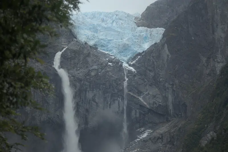
Founded 1983, the dense rainforest-covered National Park lies on the Carretera Austral, approx. 165 km north of Coyhaique; Puyuhuapi is the nearest town. The main draw is the Ventisquero Colgante, a hanging glacier between two mountains above a lagoon. Various trails lead to its viewpoints.
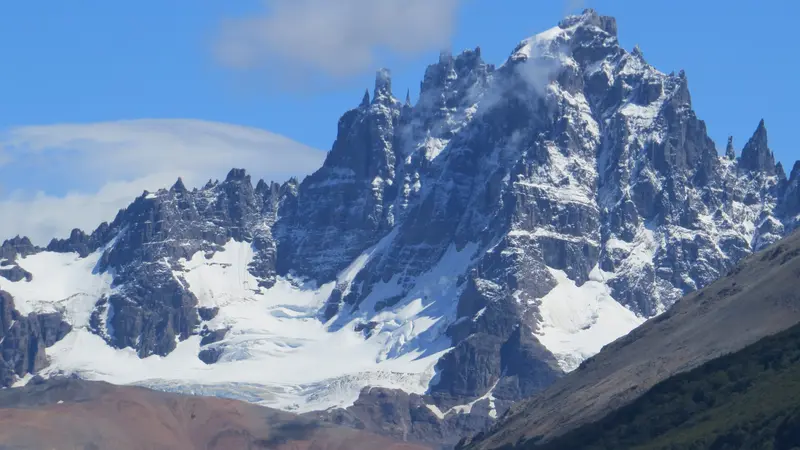
The protected area south of Coyhaique was established in 1970 as a Reserva Nacional and upgraded to a National Park in 2018, covering around 143,500 hectares. It is named after the jagged Cerro Castillo. From Villa Cerro Castillo, the approximately 14-kilometer trail leads to Mirador Laguna Castillo beneath the wall (about eight hours); multi-day routes also start from the Las Horquetas sector. Tickets are available online via pasesparques.cl; before each hike, you must register with the park administration (Laguna Chiguay sector, kilometer 57 of Ruta 7 Sur). According to CONAF, the trail to Laguna Castillo is currently only accessible with a certified guide; from May to September, this applies to all trails. Check the current status with CONAF before your tour.
Aysén is sparsely populated and far from everything, so the cuisine is accordingly regional: lamb, fresh and saltwater fish, berries from the forest.
Cordero al palo
The lamb slow-roasted for hours on a spit over an open fire is considered Patagonia's most famous dish, taking center stage at festivals and on estancias.
Trout Dishes and Seafood
The region's rivers are known to fly fishers, so trout is accordingly often on the menu, usually simply grilled or with butter. In coastal towns like Puerto Aysén, fish and seafood from the fjords are also added.
Calafate
The dark blue berries of a barberry species grow throughout Patagonia. They are processed into jam, juice, liqueur, ice cream, and Calafate Sour.
Mate
The calabash herbal tea is drunk daily in Aysén, on Estancias and in the city. In a group, all drink in turn from the same vessel.
Best Time to Visit
When is the best time for your trip?
December
January
February
March
12–14°C·47–73 mm(moderate rain)
From December to March, days are long, temperatures in Coyhaique average 12 to 14 degrees, and precipitation is at its lowest. During this time, ferries, boat tours, and most accommodations along the Carretera Austral are operational. January and February are peak season; March is quieter and often still stable.
The climate data comes from the Teniente Vidal station near Coyhaique (average 1991-2020) and applies to the interior east of the Andes. The coast around Puerto Aisén and Queulat receives much more rain; Lago General Carrera is drier and sunnier. Wind is a constant feature everywhere.
Seasons
Jan
Feb
Mar
Apr
May
Jun
Jul
Aug
Sep
Oct
Nov
Dec
High season in summer
Low season
Winter with snow and short days
Best Time to Visit
▶Show detailed monthly data
Month
Temp (°C)
Rain (mm)
Sun (h)
January
14.2
58
8.1
February
14.3
47
8.0
March
12.2
73
6.2
April
9.1
97
4.6
May
6.0
122
2.6
June
3.1
140
1.8
July
2.7
119
2.3
August
4.6
117
3.7
September
6.9
61
5.2
October
9.0
71
6.7
November
10.9
62
7.5
December
12.9
57
7.7
History and Culture in Aysén
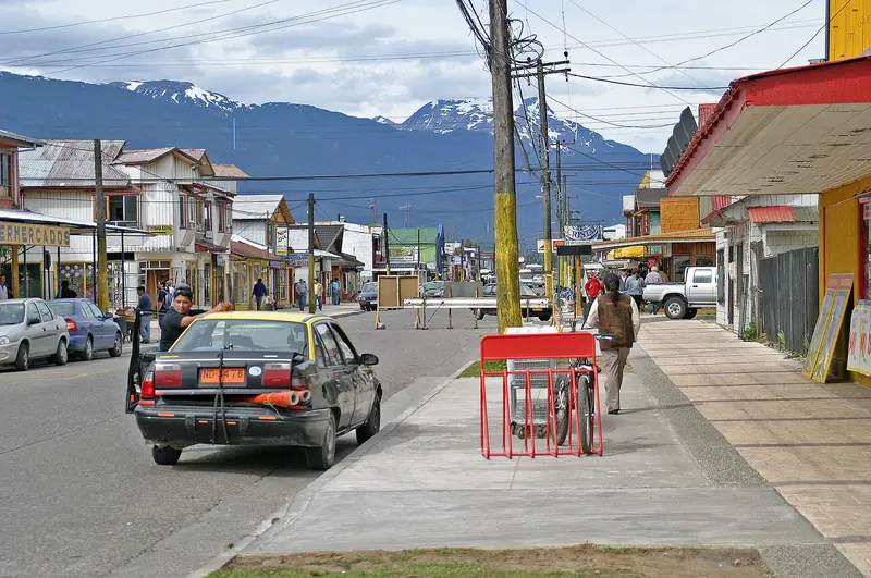
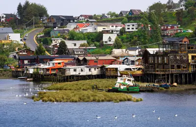
Late SettlementFor a long time, only indigenous groups lived in Aysén: coastal nomads like the Chonos and Kawésqar, who navigated the channels by canoe, and in the eastern steppe, the Aónikenk. The region was only developed by the state in the 20th century. Initially, Chile granted large land concessions to livestock companies such as the Sociedad Industrial de Aysén, followed by settlers from southern Chile and many Chileans who had previously lived in Argentina. German-speaking immigrants founded Puyuhuapi on the edge of the Queulat in the 1930s.Living with the VastnessThe region's culture is still shaped by livestock farming today. The local Gauchos, often referred to as baqueanos, herd sheep and cattle over long distances, and Rodeos and Jineteadas are among the most important summer festivals. Mate is drunk significantly more often here than in northern Chile, a legacy of the close connection to Argentina.Simple wooden houses with tin roofs characterize most towns. With the construction of the Carretera Austral starting in the 1970s, many settlements were connected to the rest of the country by land for the first time; previously, boat and horse were the only links.
Exploring locally
The region is primarily accessed by a single road: the Carretera Austral, Ruta 7, which stretches over 1,200 kilometers from Puerto Montt to Villa O'Higgins. As of 2026, barely half is paved; approximately 700 kilometers remain gravel or dirt track with loose surfaces and sharp stones. In 2026, the government announced plans to completely pave the section up to Cochrane, and construction is underway on several segments. Expect roadworks; plan for a spare tire and a time buffer.You can arrive in three ways: by plane to Balmaceda, about 55 kilometers southeast of Coyhaique; by ferry from Puerto Montt or Quellón to Puerto Chacabuco; or overland through Argentina. Several sections of the Carretera itself are only passable by ferry; you should pre-book these connections during high season.Public buses run between larger towns, but infrequently and not daily. If you want flexibility, rent a vehicle, ideally with high ground clearance. Gas stations are far apart, so fill up whenever the opportunity arises.