Fernweh: Home
    ExploreTravel GuidesPlan a tripMy tripLast visited
    de|en
    All Places & RegionsAll highlightsAbout FernwehFAQPrivacy PolicyImprint
    ExploreTravel GuidesPlan a tripMy tripLast visited
    District Lago General Carrera

    Chile

    District Lago General Carrera

    DistrictCulture

    The Lago General Carrera is Chile's largest lake, located on the Carretera Austral in the heart of Patagonia.

    by Felix Gillen

    1. Home
    2. Destinations
    3. Chile
    4. Aysén (Región de Aysén)
    5. District Lago General Carrera
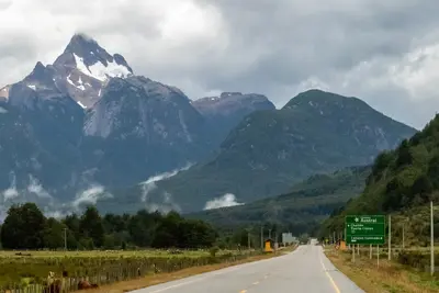
    The Lago General Carrera is Chile's largest lake, located on the Carretera Austral in the heart of Patagonia. It's famous for the Capillas de Mármol, marble formations eroded by turquoise water into caves and arches, explorable by boat or kayak in calm weather. The lake is shared with Argentina, where it's called Lago Buenos Aires. Its shores host Puerto Río Tranquilo, fruit-rich Chile Chico, and small towns like Puerto Guadal and Puerto Ibáñez.

    Sehenswürdigkeiten

    Discover the most important sights and attractions

    Torres del Avellano

    1Torres del Avellano

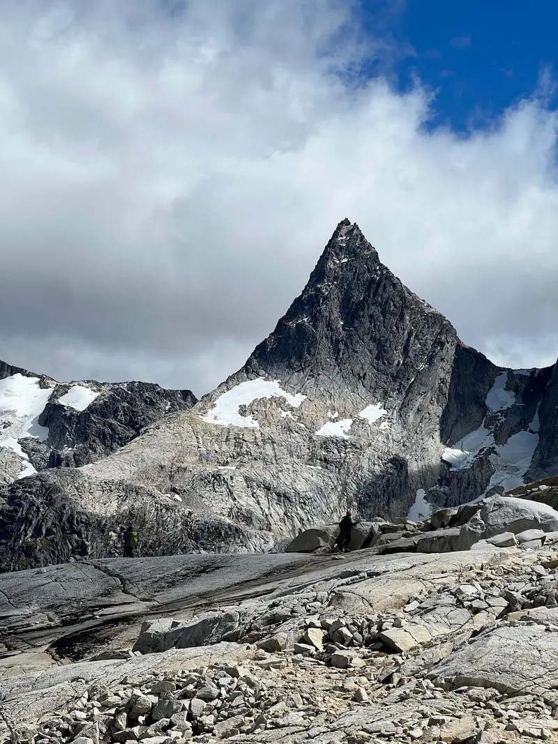
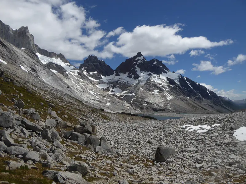
    The rock towers rise above Valle Avellano north of Lago General Carrera. The starting point for multi-day treks is usually Bahía Murta; longer routes begin in Villa Cerro Castillo. Local guides rate the tours as challenging and offer them guided.
    Open in Google Maps

    2Mirador Lago Lapparent

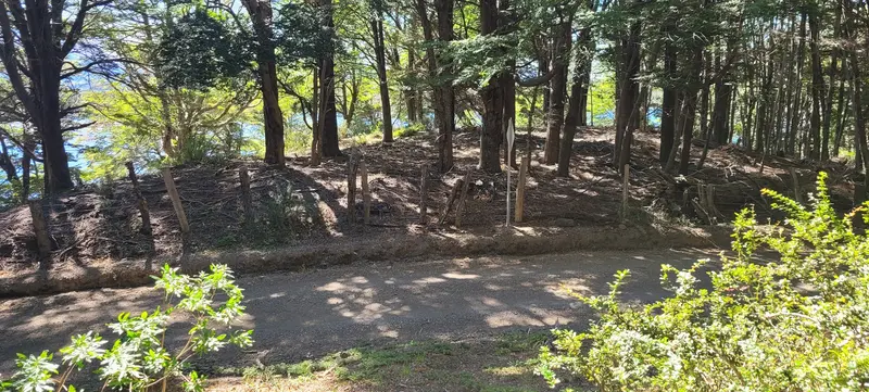
    The viewpoint is above Lago Lapparent in the back country between Villa Cerro Castillo and Lago General Carrera. From here, you'll see Lago Lapparent, Lago Alto, and the surrounding forests.
    Open in Google Maps
    Lago Alto

    3Lago Alto

    Small mountain lake north of Lago Lapparent, near Mirador Lago Lapparent in the hinterland between Villa Cerro Castillo and Lago General Carrera.
    Open in Google Maps
    Laguna Reflejo del Cielo

    4Laguna Reflejo del Cielo

    Small lagoon in Valle Avellano north of Lago General Carrera, about two kilometers east of Torres del Avellano. Reliable information on access and trails is scarce, inquire locally.
    Open in Google Maps
    Capillas de Mármol
    Natural Feature

    5Capillas de Mármol

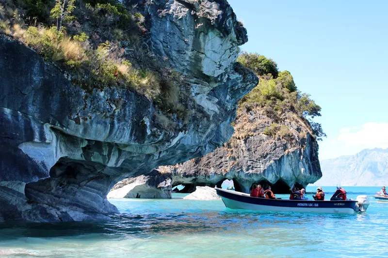
    The marble formations in the lake south of Puerto Río Tranquilo have been eroded by water into caves, pillars, and arches, protected since 1994 as a Santuario de la Naturaleza. Open boats offer a 1.5-hour round trip from town; life jackets are provided. Guided kayak tours are also an option. Strong winds can cause short-notice cancellations, so allow for an extra day.
    Open in Google Maps
    Waterfall El Maqui
    Natural Feature

    6Waterfall El Maqui

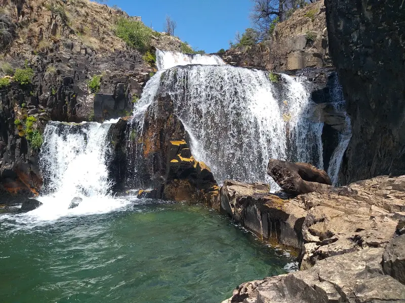
    The waterfall lies in the woods a few kilometers north of Puerto Guadal on the southwest shore of Lago General Carrera. Sturdy shoes are sensible due to often wet paths. It's best to ask locally for access.
    Open in Google Maps

    Restaurants in District Lago General Carrera

    1

    Mate & Truco

    The restaurant on the Carretera Austral in Puerto Río Tranquilo serves pizza, soups, and regional dishes. It's located near the Plaza and is convenient for a meal before or after the boat trip to the Marble Caves.
    Show on Google Maps
    2

    Costanera Restaurant

    Restaurant on Calle Manuel Rodríguez in Chile Chico, near the shore road on the south bank of the lake.
    Show on Google Maps
    3

    Fogón del Sur

    Family restaurant on the Carretera Austral in Puerto Río Tranquilo, the starting point of boat tours to the Capillas de Mármol.
    Show on Google Maps
    4

    Casa Bruja Restaurante

    Restaurant with Chilean cuisine on Calle Los Chochos in Puerto Río Tranquilo, the departure point for boat tours to the Capillas de Mármol. The menu primarily features lamb and fish.
    Show on Google Maps

    Food & Drink at Lago General Carrera

    Cherries from Chile Chico

    Cherries from Chile Chico

    In the mild climate on the south shore, cherries ripen, sold in summer at stands and small shops. Jams and juices from their own harvest are also common.

    Spit-roasted lamb

    Open-fire spit-roasted lamb is a tradition at every celebration here. At Estancias and in rural restaurants, it's often prepared by pre-order.
    A Trout

    A Trout

    The lake and the surrounding rivers are rich in trout. In the restaurants of Puerto Río Tranquilo and Puerto Guadal, it is mostly served grilled.

    Calafate

    The berries of the Patagonian Calafate bush are made into jam, juice, and sour. Small farm shops along the shore sell them in jars.

    History and Culture at Lago General Carrera

    Settlers by the LakeThe first settlers arrived in the early 20th century, many of them Chileans returning from Argentina after the 1902 border arbitration. They mainly settled on the southern shore around Chile Chico, where the climate is milder than in the rest of the region. When the state leased the land they occupied to a cattle breeder, clashes with the police, known as the Guerra de Chile Chico, occurred in 1917 and 1918. In the end, the government revoked the lease.MiningOn the northern shore lies the abandoned mining camp of Puerto Cristal, where zinc and lead were mined for decades. The last mine closed in 1993, and since 2008, the camp has been protected as a Monumento Histórico.Agriculture and Daily LifeIn Chile Chico, cherry and other fruit orchards shape the townscape, flourishing in the sheltered lakeside climate. Life in these small towns is still defined by livestock farming, tourism, and long distances. Much relies on personal contacts, and many businesses close during the off-season.

    Exploring the Lago General Carrera

    Roads and FerryThe Carretera Austral runs from Villa Cerro Castillo via Puerto Río Tranquilo to the turn-off at Puerto Guadal and on towards Cochrane. From Puerto Guadal to Chile Chico, a narrow gravel road winds high above the shore, known as Paso Las Llaves. It requires careful driving and time.Car Ferry: Between Puerto Ibáñez and Chile Chico, a ferry operates across the lake; the crossing takes approximately two hours. Operators, timetables, and prices have changed several times in recent years and vary by season and day of the week. Check the current timetable before your trip and, if possible, book vehicle reservations in advance during peak season.Bus: Buses connect Coyhaique with Puerto Río Tranquilo and Puerto Ibáñez, but they do not run daily.Border: Near Chile Chico, the Río Jeinimeni crossing leads to Los Antiguos in Argentina; it is open daily during daylight hours (approx. 8 AM to 8 PM).Refueling: Gas stations are rare; fill up your tank at every opportunity.

    Accommodations in District Lago General Carrera

    Find perfect stay in District Lago General Carrera

    Booking.com* (Affiliate link)
    Search Hotels
    Agoda* (Affiliate link)
    Search Hotels
    Airbnb
    Vacation Rentals

    * Affiliate link: if you book through it, we earn a small commission. The price stays the same for you.

    Nearby

    Aysén (Región de Aysén)

    Aysén (Región de Aysén)

    Aysén is Chile's least populated region: The 2024 census counted around 100,000 inhabitants. Glaciers, fjords, coastal rainforest, and dry eastern steppe lie side-by-side here within just a few hundred kilometers. The Carretera Austral connects the few settlements and is the guiding thread for most travelers through the region.
    Coyhaique

    Coyhaique

    Coyhaique is the capital of the Aysén Region and the only major city on the Carretera Austral. Here you can stock up for your onward journey, and most tours to the surrounding national parks and reserves depart from here.
    Puerto Aisén

    Puerto Aisén

    Puerto Aysén lies on the Río Aysén just before its mouth into the Aysén Fjord and is the region's second-largest city after Coyhaique. The Presidente Ibáñez suspension bridge and the nearby Puerto Chacabuco ferry and boat terminal make it the gateway to the fjords.
    El Chaltén

    El Chaltén

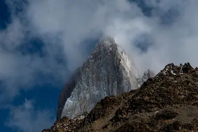
    El Chaltén was only founded in 1985, partly to secure territorial claims in the border region then disputed with Chile, and is today, by law, the "National Trekking Capital". This small village with hostels, breweries, and gear shops is located in the northern part of the Parque Nacional Los Glaciares, directly beneath the Fitz Roy massif, and the hiking trails start at the edge of town.The best-known day hike leads to Laguna de los Tres at the foot of Fitz Roy: approximately 20 to 24 kilometers round trip, eight to ten hours, with a very steep final ascent over loose rock. The trail to Laguna Torre beneath Cerro Torre is somewhat easier, at approximately 18 to 20 kilometers. For shorter excursions, the Mirador de los Cóndores above the village and Laguna Capri are suitable. The weather changes quickly: Bring wind and rain protection and turn back if wind or clouds increase on the final ascent.
    South Patagonia and Los Glaciares

    South Patagonia and Los Glaciares

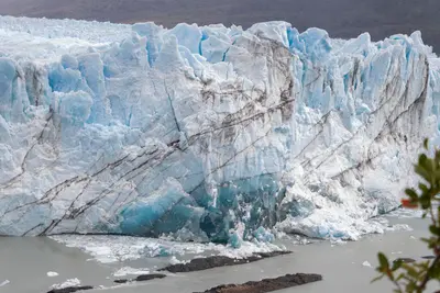
    In the south of Santa Cruz province, the Patagonian Steppe borders the Southern Patagonian Ice Field. Parque Nacional Los Glaciares, a UNESCO World Heritage site since 1981, protects glaciers like Perito Moreno and the granite peaks of Fitz Roy and Cerro Torre. Starting points are El Calafate on Lago Argentino and the hiking village of El Chaltén, about three bus hours further north.The best time to visit is from November to March; in winter, many accommodations are closed, and the weather remains changeable and windy throughout the year.

    Sources & method

    • Photos: Pexels, Google Maps. Each photo carries its credit.
    • Place data such as addresses and ratings comes from Google Maps.
    • The content is based on web research from public, traceable sources. How the content is made · The role of AI