Fernweh: Home
    ExploreTravel GuidesPlan a tripMy tripLast visited
    de|en
    All Places & RegionsAll highlightsAbout FernwehFAQPrivacy PolicyImprint
    ExploreTravel GuidesPlan a tripMy tripLast visited
    Tierra del Fuego (Chilean part)
    Gillermo Adolfo / Wikimedia Commons / CC BY 3.0

    Chile

    Tierra del Fuego (Chilean part)

    Island

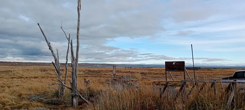
    Chilean Tierra del Fuego covers the west of the large island south of the Strait of Magellan. Open steppe, bays, bogs, and dense southern forests define the sparsely populated landscape.

    by Felix Gillen

    1. Home
    2. Destinations
    3. Chile
    4. Magellan and Chilean Antarctic (Magellan Region)
    5. Tierra del Fuego (Chilean part)
    Chilean Tierra del Fuego covers the west of the large island south of the Strait of Magellan. Open steppe, bays, bogs, and dense southern forests define the sparsely populated landscape. Main town is Porvenir, best-known destination the King Penguin colony at Bahía Inútil.

    Sehenswürdigkeiten

    Discover the most important sights and attractions
    Estancia Tres Hermanos

    1Estancia Tres Hermanos

    Estancia on Bahía Inútil in the Chilean part of Tierra del Fuego, near Parque Pingüino Rey. For information on visit availability and times, please contact the Estancia directly.
    Open in Google Maps
    Museum Fernando Cordero Rusque
    Museum

    2Museum Fernando Cordero Rusque

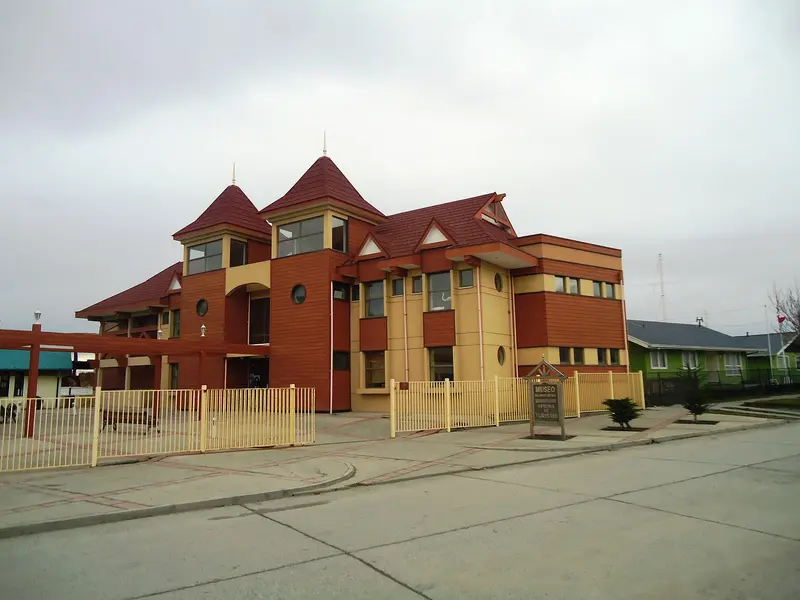
    The Provincial Museum on Porvenir's Plaza de Armas displays Selk'nam artifacts, including skulls and mummies, musical instruments from the Salesian Mission on Dawson Island, and an exhibition on the beginnings of Chilean cinema. It offers a great introduction to the island's history.
    Open in Google Maps
    Plaza de Armas de Porvenir
    Park

    3Plaza de Armas de Porvenir

    Porvenir's small main square is beside the Museo Fernando Cordero Rusque. From here, you can explore the town and the bay's waterfront road on foot.
    Open in Google Maps
    King Penguin Natural Reserve
    Park

    4King Penguin Natural Reserve

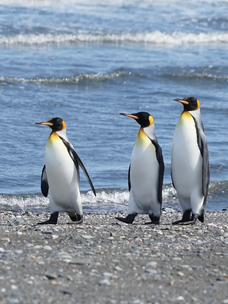
    Around 2010, a King Penguin colony settled at Bahía Inútil, about 115 km from Porvenir, where they also raise their chicks. You observe them from a designated area at a safe distance. Visitor numbers per time slot are limited, and advance booking is essential. Opening days vary seasonally; the optimal time is from November to April.
    Open in Google Maps

    Essen & Trinken

    1

    Club Croata

    Croatian Club restaurant on Porvenir's waterfront street, listed on Google as a Croatian and European restaurant.
    Show on Google Maps

    Food & Drink in Tierra del Fuego

    Tierra del Fuego has few restaurants, especially in Porvenir. The cuisine is hearty and focuses on lamb and seafood.

    Cordero Fueguino

    Lamb from the island's estancias, often spit-roasted by an open fire.

    Centolla

    The King Crab from the waters around Tierra del Fuego is served cooked, au gratin, or in empanadas.

    Empanadas of lamb

    Baked lamb empanadas are a simple snack you'll find in bakeries and small eateries in Porvenir.

    Calafate

    The berry of the Patagonian steppe becomes jam, syrup, and liqueur.

    History: Tierra del Fuego

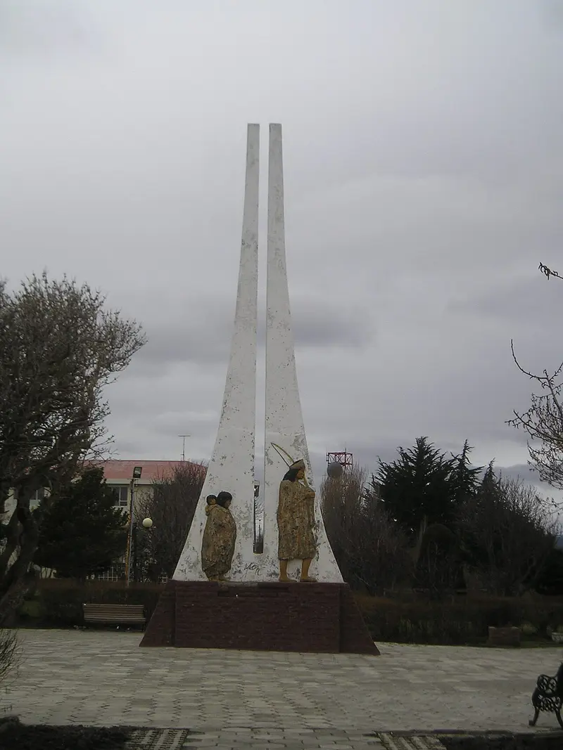
    Selk'nam and ColonizationTierra del Fuego was home to the Selk'nam, a people of guanaco hunters, and to the Kawésqar and Yámana along its coasts. The island received its name from Magellan's sailors, who in 1520 saw the fires of the inhabitants along the coast. With the introduction of sheep farming at the end of the 19th century, the Selk'nam were displaced from their land and persecuted; diseases and violence almost led to their extinction. Today, descendants advocate for the recognition of their history.Gold, Sheep, and ImmigrantsIn the 1880s, a gold rush triggered an initial wave of immigration, with many prospectors coming from Croatia. Porvenir emerged during this period and grew alongside the large estancias that claimed vast areas of the island. The Museo Fernando Cordero Rusque in Porvenir exhibits findings related to the Selk'nam, gold prospecting, and the pioneer era; a monument in the town also commemorates the Selk'nam.In the 20th century, oil extraction in the north gave rise to new settlements like Cerro Sombrero, a community planned in the 1950s by the state oil company.

    To and Exploring Tierra del Fuego

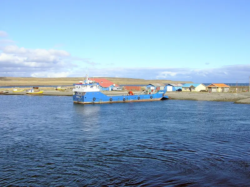
    FerriesPunta Arenas to Porvenir: The Transbordadora Austral Broom ferry departs daily from Terminal Tres Puentes, north of Punta Arenas, to Bahía Chilota pier near Porvenir. The Strait of Magellan crossing takes about two hours. If you're traveling with a car, advance booking is advised.Primera Angostura: At the narrowest point of the Strait of Magellan, ferries shuttle between Punta Delgada and Bahía Azul. The crossing is short, but the schedule can fluctuate depending on wind and tides.On the IslandA personal rental car is almost indispensable; public buses run only rarely. Most roads are gravel tracks, and fuel stations are scarce, found only in a few towns like Porvenir and Cerro Sombrero. Check beforehand if your rental agreement allows trips to Argentina if you plan to continue to Ushuaia via the San Sebastián border crossing.Alternatively, day tours depart from Punta Arenas to see the King Penguins. These tours are long, but save you the drive on gravel tracks.

    Accommodations in Tierra del Fuego (Chilean part)

    Find perfect stay in Tierra del Fuego (Chilean part)

    Booking.com* (Affiliate link)
    Search Hotels
    Agoda* (Affiliate link)
    Search Hotels
    Airbnb
    Vacation Rentals

    * Affiliate link: if you book through it, we earn a small commission. The price stays the same for you.
    Nearby

    Punta Arenas

    Punta Arenas

    Punta Arenas on the Strait of Magellan is the largest city in southern Chile and a starting point for penguin tours, Tierra del Fuego, and Torres del Paine. City palaces, museums, and a cemetery with cypress-lined avenues tell of the wealth from the sheep farming era around 1900. The capital of the Magallanes Region is also an important port for ships heading to Antarctica.
    Fireland

    Fireland

    Argentina and Chile share Tierra del Fuego on the continent's southern tip. On the Argentine side, Ushuaia lies on the Beagle Channel between mountains and sea; Ruta Nacional 3, originating in Buenos Aires, ends in Parque Nacional Tierra del Fuego nearby. Ushuaia is also the main port for Antarctic expeditions.
    Ushuaia

    Ushuaia

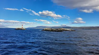
    Ushuaia stretches as a narrow strip along the northern shore of the Beagle Channel, squeezed between the water and the mountains of the Sierra Martial. The city owes its origin to a prison: From 1902, prisoners built the Presidio, which was in operation until 1947. Today it houses the Museo Marítimo y del Presidio with exhibitions on the penal colony, maritime history, and Antarctica.The most popular excursion is a boat trip on the Beagle Channel to the islands with sea lions and seabirds and to the red-and-white Les Eclaireurs Lighthouse. Approximately twelve kilometers west lies the Tierra del Fuego National Park. The End of the World Train also runs there, a narrow-gauge railway on a section of the former prisoner's railway, which prisoners used to transport wood from the forests. Ushuaia is also the main departure port for cruises to Antarctica.
    Tierra del Fuego National Park

    Tierra del Fuego National Park

    Founded in 1960, the Parque Nacional Tierra del Fuego is located about twelve kilometers west of Ushuaia and is Argentina's only national park uniting mountains, forest, and coastline. It protects the last section of the Andes and the subantarctic forest of Lengas and Ñires, along with extensive peat bogs.The road in the park is the final stretch of Ruta Nacional 3 and ends at Bahía Lapataia with the famous 'Fin de RN3' sign. At Bahía Ensenada, you'll find the southernmost post office where you can get your passport stamped; from there, the Senda Costera leads as a moderately difficult coastal path along the Beagle Channel. Further trails lead to Lago Acigami and up Cerro Guanaco. An entrance fee is charged for the park; the ride on the Tren del Fin del Mundo costs extra.
    Magellan and Chilean Antarctic (Magellan Region)

    Magellan and Chilean Antarctic (Magellan Region)

    The Región de Magallanes y Antártica Chilena encompasses the southernmost part of Chile, from the steppe around Punta Arenas to the granite towers of Torres del Paine and the fjords of Tierra del Fuego. Here you travel through vast, sparsely populated landscapes where wind and weather dictate the daily routine. Punta Arenas and Puerto Natales are the two starting points for almost all tours.

    Sources & method

    • Photos: Wikimedia Commons, Google Maps. Each photo carries its credit.
    • Place data such as addresses and ratings comes from Google Maps.
    • The content is based on web research from public, traceable sources. How the content is made · The role of AI