Fernweh: Home
    ExploreTravel GuidesPlan a tripMy tripLast visited
    de|en
    All Places & RegionsAll highlightsAbout FernwehFAQPrivacy PolicyImprint
    ExploreTravel GuidesPlan a tripMy tripLast visited
    Mulu National Park
    Paul White / Wikimedia Commons / CC BY 2.0

    Malaysia

    Mulu National Park

    Point of InterestCulture

    The Gunung Mulu National Park in northern Sarawak, a half-hour flight from Miri, has been a UNESCO World Heritage site since 2000 and is one of the largest cave areas on Earth.

    by Felix Gillen

    1. Home
    2. Destinations
    3. Malaysia
    4. Sarawak
    5. Mulu National Park
    The Gunung Mulu National Park in northern Sarawak, a half-hour flight from Miri, has been a UNESCO World Heritage site since 2000 and is one of the largest cave areas on Earth. Here await the enormous Deer Cave with its evening bat exodus, the Clearwater Cave System with over 200 kilometers of explored passages, and the jagged limestone peaks of the Pinnacles.The park also contains the Sarawak Chamber, one of the world's largest known cave chambers.Getting there: by plane from Miri, Kuching, or Kota Kinabalu or by boat; there are no roadsPlanning: Book accommodations and guides early, especially from June to SeptemberMoney: In Mulu, there is no bank and no ATM; bring cash in Ringgit with you

    Sehenswürdigkeiten

    Discover the most important sights and attractions

    Fast Lane Cave

    1Fast Lane Cave

    The Fast Lane is one of the show caves offered by the Park Administration as a guided tour, along with Deer and Lang Cave, Clearwater and Wind Cave. Book tours and guides via the official park website or at the Park Headquarters, preferably in advance during peak season.
    Open in Google Maps
    Gunung Mulu Nationalpark

    2Gunung Mulu Nationalpark

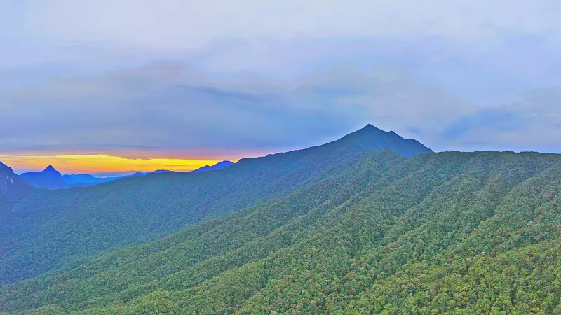
    Gunung Mulu, at 2,376 meters, is the park's highest mountain and the namesake of the protected area. The summit is only accessible on a multi-day tour, which you book through the park administration; since February 2026, an additional conservation fee applies.
    Open in Google Maps
    Deer Cave

    3Deer Cave

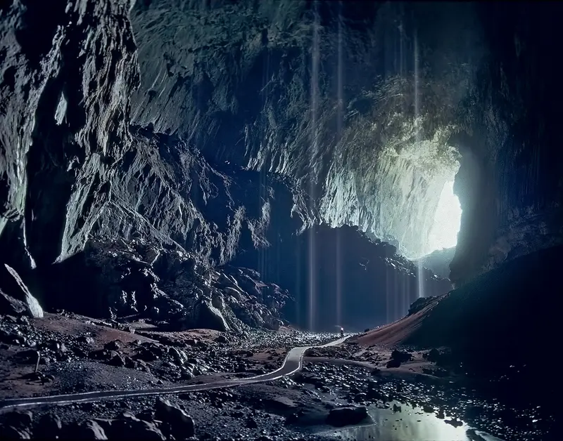
    The Deer Cave has a diameter of 120 to 150 meters and is among the largest cave passages in the world. A plank walk from the Park Headquarters leads there, usually combined with the neighboring Lang Cave. At dusk, millions of bats fly in long swarms from the cave entrance.
    Open in Google Maps
    Clearwater Cave

    4Clearwater Cave

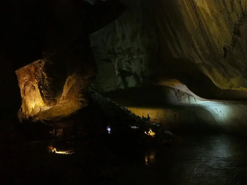
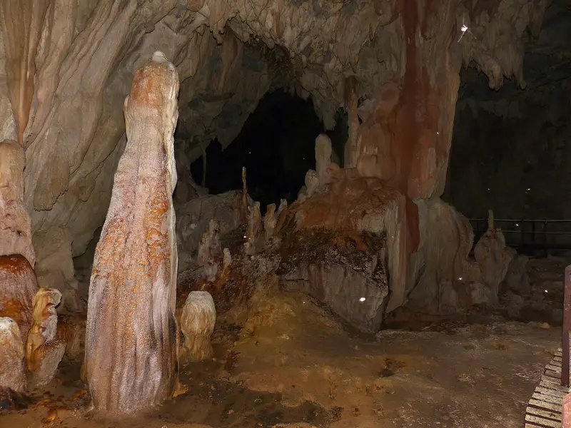
    The Clearwater Cave System has over 227 kilometers of explored passages and is among the longest cave systems in the world. The park offers a show cave tour that connects Clearwater Cave and Wind Cave.
    Open in Google Maps
    Pinnacles

    5Pinnacles

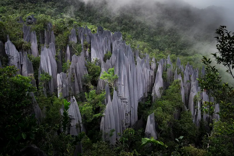
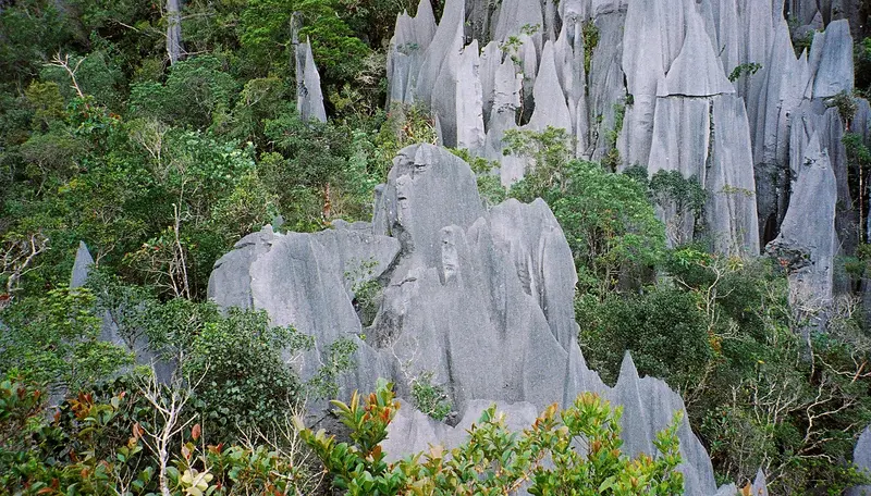
    The sharp limestone pinnacles at Gunung Api were formed by extreme weathering. The tour lasts three days and two nights: by boat to Kuala Berar, 7.8 kilometers on foot to Camp 5, and from there the ascent, whose final section, equipped with ropes and ladders, tackles around 1,200 vertical meters over approximately 1.2 kilometers. Requires good fitness and early booking.
    Open in Google Maps

    Essen & Trinken

    Good Luck Cave'fe Mulu

    Restaurant in Marudi.
    Show on Google Maps

    Stella Mulu Cafe

    Restaurant in Marudi.
    Show on Google Maps

    History and Exploration

    The Sarawak government designated Mulu as a National Park in 1974, followed by its inscription on the UNESCO World Heritage list in 2000. A major expedition by the Royal Geographical Society explored the area in 1977 and 1978 with over 100 scientists; in December 1980, a British follow-up expedition discovered the Sarawak Chamber in the Gua Nasib Bagus cave.Berawan and Penan live in the park's vicinity; the Penan are now settled in Batu Bungan and Long Iman.

    Getting there and around

    Getting ThereMulu has no road access. AirBorneo (formerly MASwings) flies to Mulu Airport from Miri (approx. 30 minutes), Kuching (approx. 1 hour 20 minutes), and Kota Kinabalu (approx. 55 minutes). Alternatively, a long boat journey from Marudi via the Baram and Tutoh rivers leads into the park. Heavy rain can cause flights to be cancelled; plan for a buffer day.Within the Park and FeesWithin the park, you travel on foot along boardwalks; some caves and the starting point for the Pinnacles Tour are reached by boat. Foreign adults purchase a five-day pass for 30 RM. As of February 1, 2026, conservation fees will be added: 20 RM for tours with a freelance guide or tour operator, 10 RM for Camp 5, and 15 RM for Summit and Headhunters Trail. Tours and guides cost extra.

    Accommodations in Mulu National Park

    Find perfect stay in Mulu National Park

    Booking.com* (Affiliate link)
    Search Hotels
    Agoda* (Affiliate link)
    Search Hotels
    Airbnb
    Vacation Rentals

    * Affiliate link: if you book through it, we earn a small commission. The price stays the same for you.

    Nearby

    Miri

    Miri

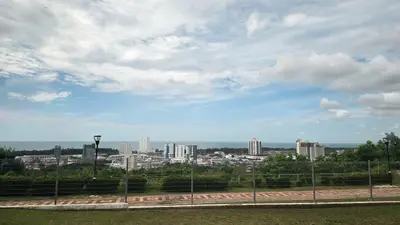
    Miri, Sarawak's second largest city, is located in the north of the state near the border with Brunei, and its rise was fueled by oil: Shell discovered the city's first oil well on Canada Hill in 1910. For travelers, Miri is primarily a gateway to northern Sarawak, with flights to Mulu National Park and road access to Niah National Park. Off the coast is the Miri-Sibuti Coral Reef National Park, a marine protected area with coral reefs.
    Niah National Park

    Niah National Park

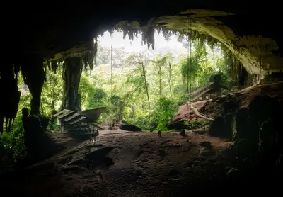
    The Niah National Park in northern Sarawak, between Miri and Bintulu, protects a limestone massif with one of Southeast Asia's most important archaeological sites and has been a UNESCO World Heritage site since 2024. Humans lived in the enormous Great Cave tens of thousands of years ago; today, swiftlets and bats nest there. A plank walk leads through lowland rainforest to the caves.Update: Following severe flooding in 2025, the Great Cave is accessible again via a new entrance path, while the Painted Cave remains closed for now (as of October 2026)Tip: Stay overnight in the park to witness the bats' evening exodus and the swiftlets' return
    Sabah

    Sabah

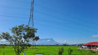
    Sabah in northern Borneo is Malaysia's nature destination. In the west you can climb Mount Kinabalu, snorkel off Kota Kinabalu and hike the island forest of Pulau Gaya. The well-known wildlife areas of Sepilok, the Kinabatangan and Danum Valley, as well as the dive sites off Semporna, lie on the east coast, which is covered specifically by official travel advice. Kota Kinabalu is the starting point, with onward travel by bus or domestic flight.
    Kota Kinabalu

    Kota Kinabalu

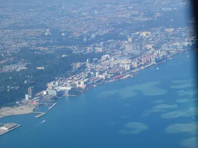
    Kota Kinabalu, or KK for short, is the capital of Sabah and for most, the starting point on Borneo. The city itself is more practical than beautiful, but conveniently located: Off the coast lie the islands of Tunku Abdul Rahman Park, and inland is Mount Kinabalu. Evenings, the waterfront night market with grilled fish is a must; on Sunday mornings, explore the Gaya Street market. For sunset, head to Tanjung Aru or climb Signal Hill.
    Pulau Gaya

    Pulau Gaya

    Pulau Gaya is, at around 15 square kilometers, the largest of the five islands in Tunku Abdul Rahman Park and lies directly opposite Kota Kinabalu. A forested ridge, up to 300 meters high, stretches across the island, with bays featuring sandy beaches, mangroves, and coral reefs along its edges.Around 20 kilometers of marked trails lead through the forest, including a boardwalk through a mangrove swamp. For swimming and snorkeling, you head to Police Beach on the north side. You can stay overnight in three resorts. At the eastern tip, outside the park, are large stilt villages.
    Sources & method

    • Photos: Wikimedia Commons. Each photo carries its credit.
    • Place data such as addresses and ratings comes from Google Maps.
    • The content is based on web research from public, traceable sources. How the content is made · The role of AI