Fernweh: Home
    ExploreTravel GuidesPlan a tripMy tripLast visited
    de|en
    All Places & RegionsAll highlightsAbout FernwehFAQPrivacy PolicyImprint
    ExploreTravel GuidesPlan a tripMy tripLast visited
    Te Papa-Kura-o-Taranaki (Egmont National Park)

    New Zealand

    Te Papa-Kura-o-Taranaki (Egmont National Park)

    National Park

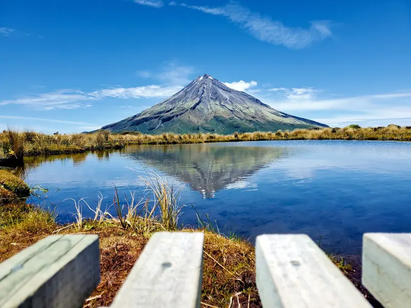
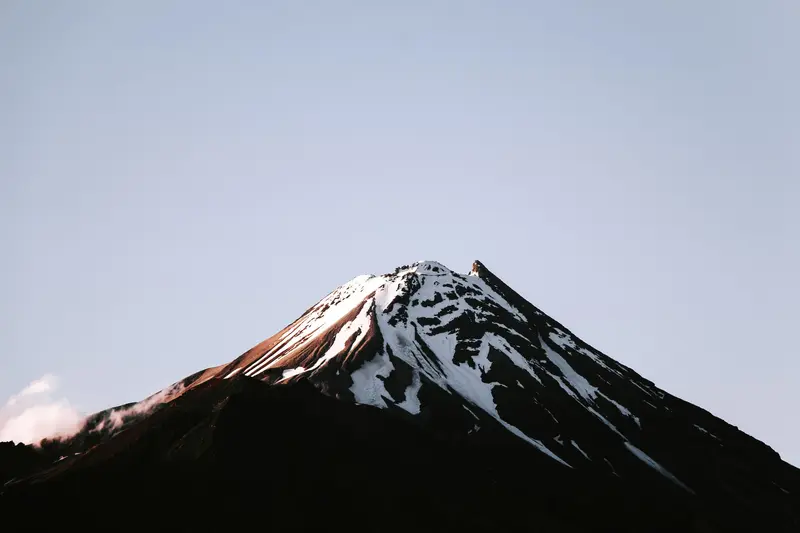
    The national park around the volcanic cone of Taranaki Maunga (2,518 m) is officially named Te Papa-Kura-o-Taranaki. Until 2025, it was called Egmont National Park; you'll still find this name on many maps and signs.

    by Felix Gillen

    1. Home
    2. Destinations
    3. New Zealand
    4. Taranaki
    5. Te Papa-Kura-o-Taranaki (Egmont National Park)
    The national park around the volcanic cone of Taranaki Maunga (2,518 m) is officially named Te Papa-Kura-o-Taranaki. Until 2025, it was called Egmont National Park; you'll still find this name on many maps and signs. In 2025, with the Te Pire Whakatupua mō Te Kāhui Tupua Act, New Zealand recognised the mountain, its adjacent peaks, and surrounding lands as the legal entity Te Kāhui Tupua. For the Iwi of Taranaki, the Maunga is an ancestor.Three access points lead into the park: North Egmont from New Plymouth and Inglewood, Stratford Plateau with the small Manganui ski area, and Dawson Falls on the southeast side. Short trails lead to waterfalls and through mossy mountain forest; longer ones like the Mangorei Track or the Pouakai Circuit reach the alpine zone. The weather on the mountain changes rapidly. Before any trip, consult the Department of Conservation and read the travel and safety advisories from the Auswärtiges Amt, linked on our country page.

    Sehenswürdigkeiten

    Discover the most important sights and attractions

    Dawson Falls

    1Dawson Falls

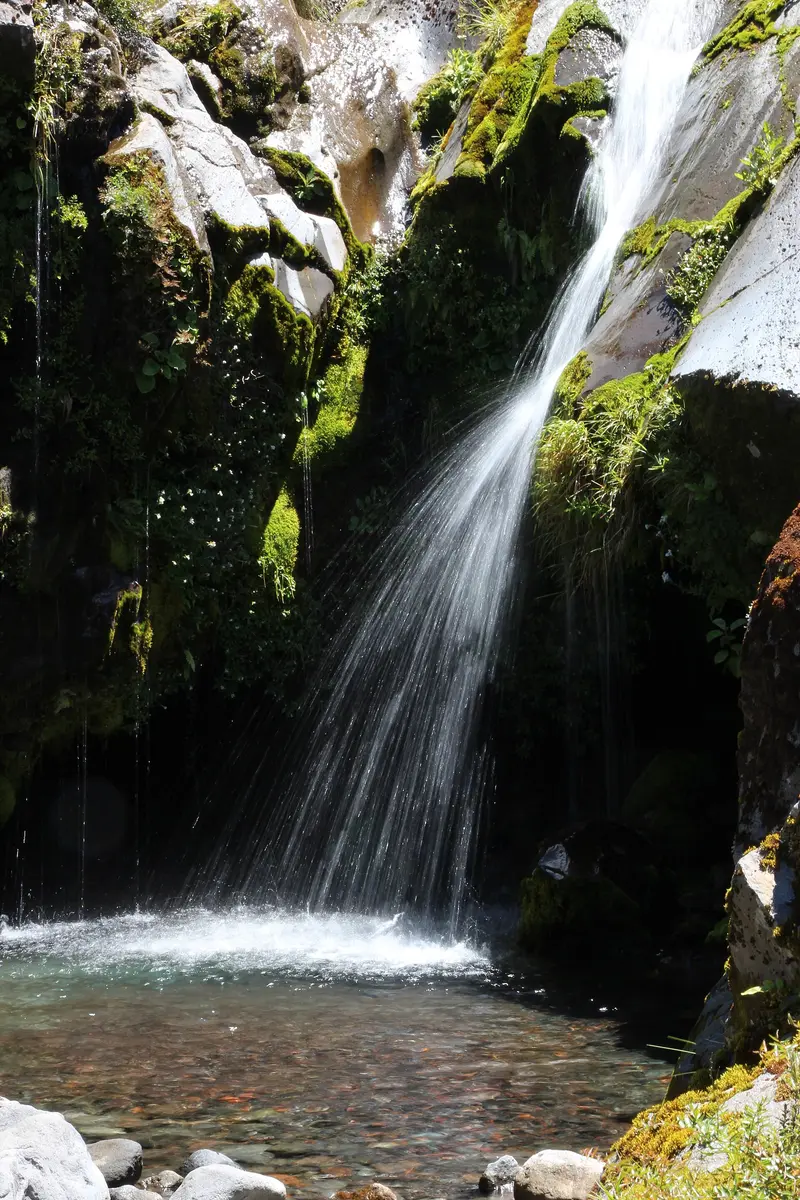
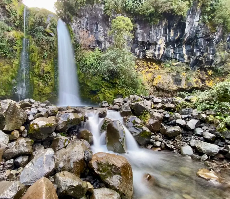
    The 18-meter-high waterfall on Kapuni Stream is called Te Rere o Noke in Māori. The Kapuni Loop Track leads from the Dawson Falls Visitor Centre through mossy Kamahi forest down to the viewpoint and back up; allow about an hour.
    Open in Google Maps
    Wilkies Pools

    2Wilkies Pools

    Small pools carved by the Kapuni Stream from around 20,000-year-old lava. You're about 20 minutes away from the Dawson Falls Visitor Centre. The full loop requires crossing the stream over stones without a bridge; this is often not possible after heavy rain.
    Open in Google Maps
    Manganui

    3Manganui

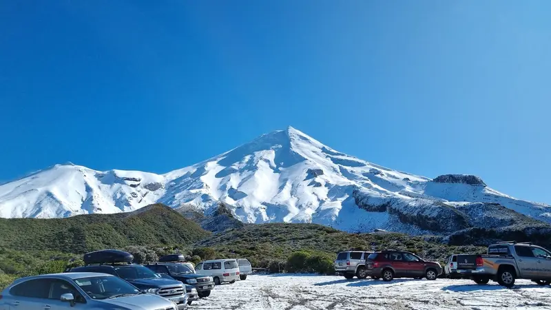
    Small ski area on the east flank of Taranaki Maunga, accessible via the Pembroke Road from Stratford. In summer, the car park at the road's end is a starting point for hikes into the alpine zone.
    Open in Google Maps
    Mount Egmont / Taranaki viewing platform

    4Mount Egmont / Taranaki viewing platform

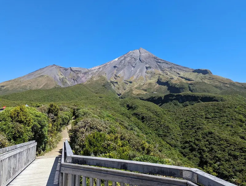
    Viewing platform on the mountain's southeast side, with views up to the summit of Taranaki Maunga. On clear days, you can also see far across the Taranaki lowlands.
    Open in Google Maps
    Dawson Falls Visitors Centre

    5Dawson Falls Visitors Centre

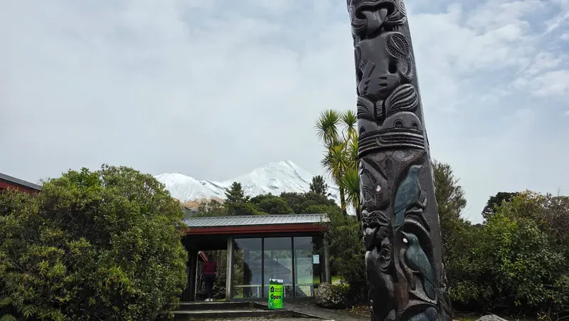
    Department of Conservation Visitor Centre on Manaia Road above Stratford. It's the starting point for the Kapuni Loop Track to Dawson Falls and the path to Wilkies Pools. Get current info on weather and track conditions here first.
    Open in Google Maps
    Henry Peak Lookout (Pouakai Circuit)
    Attraction

    6Henry Peak Lookout (Pouakai Circuit)

    Viewpoint on the Pouakai Circuit, a two to three-day loop hike through the Pouakai Range north of the main peak. From here, you look across the mountain range to the coast near New Plymouth.
    Open in Google Maps

    Essen & Trinken

    1

    Volcanoview

    Cafe with a bar and kitchen on Egmont Road, en route to the North Egmont entrance of the National Park.
    Show on Google Maps

    Accommodations in Te Papa-Kura-o-Taranaki (Egmont National Park)

    Find perfect stay in Te Papa-Kura-o-Taranaki (Egmont National Park)

    Booking.com* (Affiliate link)
    Search Hotels
    Agoda* (Affiliate link)
    Search Hotels
    Airbnb
    Vacation Rentals

    * Affiliate link: if you book through it, we earn a small commission. The price stays the same for you.
    Nearby

    Surf Highway 45 (coastline)

    Surf Highway 45 (coastline)

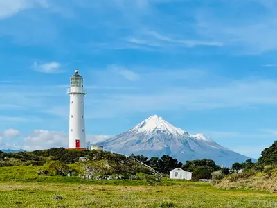
    The Surf Highway 45 is the approximately 105-kilometre coastal road from New Plymouth to Hāwera. It winds west around Taranaki Maunga, passing Oākura, Ōkato, Pungarehu, and Ōpunake. Many narrow paths branch off the road to surf breaks like Stent Road, and there are also the Cape Egmont Lighthouse and sheltered swimming beaches such as Oākura Beach and Ōpunake Beach, which are patrolled by lifeguards in summer.On the west coast, the surf can be powerful. Only swim at patrolled beaches and observe the travel and safety advice from the Federal Foreign Office, which is linked on our country page.
    New Plymouth (City Center)

    New Plymouth (City Center)

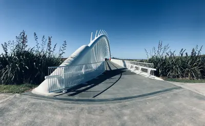
    New Plymouth is Taranaki's largest city and lies between the Tasman Sea and Taranaki Maunga. The centre is compact: The Govett-Brewster Art Gallery with the **Len Lye Centre**, opened in 2015, the museum Puke Ariki and the Wind Wand are only a few minutes' walk apart. On the edge of the city centre, **Pukekura Park** begins with lakes and gardens.Along the coast, the 13.2-kilometre-long Coastal Walkway leads from the harbour to Bell Block, crossing the Waiwhakaiho River via the **Te Rewa Rewa Bridge**. From here, you can reach Te Papa-Kura-o-Taranaki National Park and Surf Highway 45 with a short drive.
    Taranaki

    Taranaki

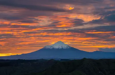
    Taranaki, located on the North Island's west coast, is centered around a mountain: the 2,518-meter-high volcanic cone **Taranaki Maunga**, formerly Mount Egmont. Since 2025, the mountain, along with its neighboring peaks, has been a legal person as *Te Kāhui Tupua*; the national park surrounding it is now called **Te Papa-Kura-o-Taranaki**.In **New Plymouth** you'll find the Len Lye Centre, Pukekura Park, and the Coastal Walkway with the Te Rewa Rewa Bridge. To the west and south, **Surf Highway 45** leads past surf breaks, lighthouses, and small coastal towns to Hāwera.
    Tongariro Nationalpark Gebiet

    Tongariro Nationalpark Gebiet

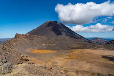
    Three active volcanoes dominate the Tongariro National Park: Tongariro, Ngāuruhoe, and Ruapehu. The park was established in 1894 as New Zealand's first national park, and in 1993 it became the first site listed under the new criteria for cultural landscapes on the World Heritage List, making it both a natural and cultural heritage site. The most famous trail is the Tongariro Alpine Crossing, which climbs from 1120 meters at the Mangatepopo car park to 1886 meters at Red Crater and descends to 760 meters at Ketetahi Road. Additionally, shorter trails from Whakapapa Village to Taranaki Falls, to the Tama Lakes, and through the beech forest along Whakapapanui Stream are also rewarding.The volcanoes are active. Before every tour, check the current status with DOC and GeoNet and read the travel and safety advice from the Auswärtiges Amt, which is linked on our country page.
    Waitomo

    Waitomo

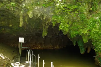
    Waitomo is a small village in the hilly karst country of the King Country, and beneath the pastures lies a network of limestone caves. The name combines wai (water) and tomo (hole, shaft) and describes a stream that disappears into the ground. In the Waitomo Glowworm Cave you glide by boat beneath thousands of glowworm lights, you reach the Ruakuri Cave through a spiral entrance, and the dry Aranui Cave shows stalactites and stalagmites. During the day, the Ruakuri Walk is worthwhile, as is a detour along Te Anga Road to the Mangapohue Natural Bridge and the 35-metre-high Marokopa Falls.

    Sources & method

    • Photos: Wikimedia Commons, Pexels, Google Maps. Each photo carries its credit.
    • Place data such as addresses and ratings comes from Google Maps.
    • The content is based on web research from public, traceable sources. How the content is made · The role of AI