Fernweh: Home
    ExploreTravel GuidesPlan a tripMy tripLast visited
    de|en
    All Places & RegionsAll highlightsAbout FernwehFAQPrivacy PolicyImprint
    ExploreTravel GuidesPlan a tripMy tripLast visited
    Milford Sound

    New Zealand

    Milford Sound

    Fjord

    Milford Sound, called Piopiotahi in Māori, is New Zealand's best-known fjord and the only one in Fiordland that can be reached by road.

    by Felix Gillen

    1. Home
    2. Destinations
    3. New Zealand
    4. Fiordland National Park
    5. Milford Sound
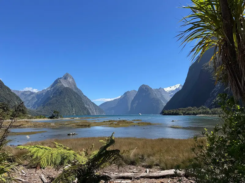
    Milford Sound, called Piopiotahi in Māori, is New Zealand's best-known fjord and the only one in Fiordland that can be reached by road. Steep rock walls, the 1,692-meter-high Mitre Peak and waterfalls such as Stirling Falls shape the roughly 15-kilometer-long inlet.

    Sehenswürdigkeiten

    Discover the most important sights and attractions

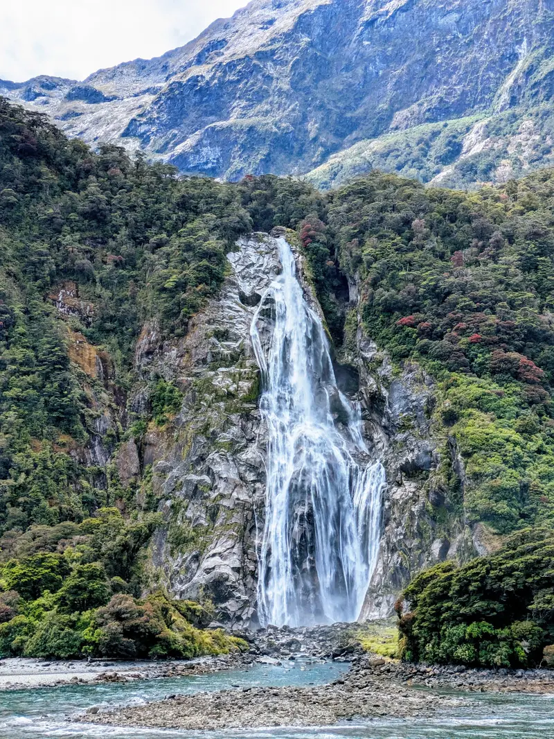
    Stirling Falls

    1Stirling Falls

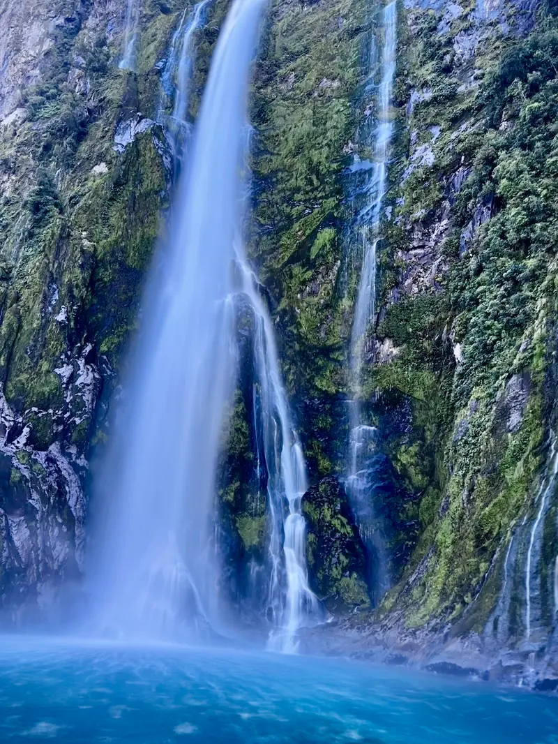
    The roughly 150-meter-high waterfall plunges into the sea from the fjord's north side. Excursion boats get so close that the spray reaches the deck.
    Open in Google Maps
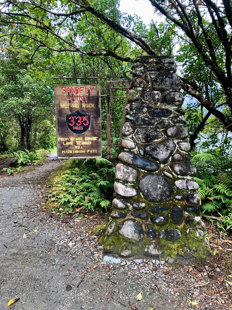
    Milford Track Trailhead (Sandfly Point)

    2Milford Track Trailhead (Sandfly Point)

    At Sandfly Point, the 53.5-kilometer Milford Track, one of the most famous Great Walks, ends. From here, a water taxi takes hikers to the harbor. For day visitors, operators offer partial sections with boat transfers.
    Open in Google Maps
    Milford Sound Visitor Terminal

    3Milford Sound Visitor Terminal

    All fjord cruises and kayak tours depart from the boat terminal at Freshwater Basin. From the car park, it's about a ten-minute walk; allow enough extra time for arrival.
    Open in Google Maps
    Lady Bowen Falls

    4Lady Bowen Falls

    Milford Sound's highest waterfall drops about 160 meters right next to the boat terminal. It supplies the area's water and small power plant.
    Open in Google Maps

    Essen & Trinken

    1

    Pio Pio Restaurant

    The Milford Sound Lodge restaurant on the Cleddau River, one of the few options for dinner by the fjord. Reservations are recommended for non-guests.
    Show on Google Maps

    History and Significance

    History and SignificanceFor the Kāi Tahu, Piopiotahi is part of the tradition surrounding the demigod Tū-te-raki-whānoa, who is said to have carved the fjords from the rock with his tools. Māori came here to gather Pounamu. European sealers named the fjord in the 19th century after Milford Haven in Wales.For a long time, the Sound was only accessible by ship or via the Milford Track. The Homer Tunnel, built starting in the 1930s and opened to traffic in the 1950s, made the road from Te Anau possible. Today, the fjord is part of the UNESCO World Heritage Te Wāhipounamu.

    Travel

    From Te Anau, the drive along Milford Road (State Highway 94) takes about two hours; from Queenstown, it's approximately four hours each way. Along the nearly 120 kilometers from Te Anau, there are no petrol stations and little to no mobile reception. Bus tours with boat trips depart from Te Anau and Queenstown, while scenic flights are available from Queenstown, Wanaka, and Te Anau.In winter and spring, avalanche risk and snow can close the road; you must carry snow chains during this period.Allow plenty of time, as the road is winding and offers many photo opportunities.Check the road status with the NZ Transport Agency before you travel.

    Accommodations in Milford Sound

    Find perfect stay in Milford Sound

    Booking.com* (Affiliate link)
    Search Hotels
    Agoda* (Affiliate link)
    Search Hotels
    Airbnb
    Vacation Rentals

    * Affiliate link: if you book through it, we earn a small commission. The price stays the same for you.
    Nearby

    Glenorchy

    Glenorchy

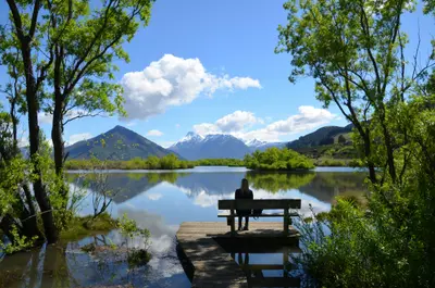
    Glenorchy is located at the northern end of Lake Wakatipu, a 45-minute drive from Queenstown, at the entrance to the Dart and Rees Valleys. The town is a starting point for the Routeburn Track and the backdrop for numerous film scenes, including from The Lord of the Rings trilogy.
    Queenstown

    Queenstown

    Queenstown lies on the northern shore of Lake Wakatipu, framed by the Remarkables and Ben Lomond. The small town is New Zealand's center for Bungy, jet boating, and skiing, but also serves as a base for Milford Sound, the Central Otago wine regions, and hikes on the Routeburn Track.
    Fiordland National Park

    Fiordland National Park

    Fiordland, at around 12,500 square kilometers, is New Zealand's largest national park and part of the UNESCO World Heritage Site Te Wāhipounamu. Fourteen fjords, including Milford and Doubtful Sound, cut deep into mountains covered in rainforest. Te Anau is the gateway for almost all tours.
    Arrowtown

    Arrowtown

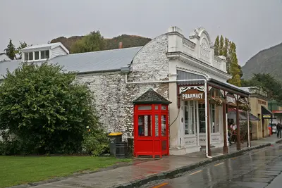
    Founded in 1862 during the gold rush on the Arrow River, Arrowtown has largely preserved its main street with wooden and stone houses from that era. The restored Chinese Settlement commemorates the Chinese gold miners, and in autumn, the valley's deciduous trees turn a brilliant yellow. Queenstown is located about 20 kilometers away.
    Te Anau

    Te Anau

    Situated on the eastern shore of Lake Te Anau, the South Island's largest lake, Te Anau is the main base for Fiordland National Park. From here, tours depart for Milford and Doubtful Sound, and the Kepler Track starts at the town's edge.

    Sources & method

    • Photos: Unsplash, Google Maps. Each photo carries its credit.
    • Place data such as addresses and ratings comes from Google Maps.
    • The content is based on web research from public, traceable sources. How the content is made · The role of AI