Fernweh: Home
    ExploreTravel GuidesPlan a tripMy tripLast visited
    de|en
    All Places & RegionsAll highlightsAbout FernwehFAQPrivacy PolicyImprint
    ExploreTravel GuidesPlan a tripMy tripLast visited
    Te Anau

    New Zealand

    Te Anau

    Town

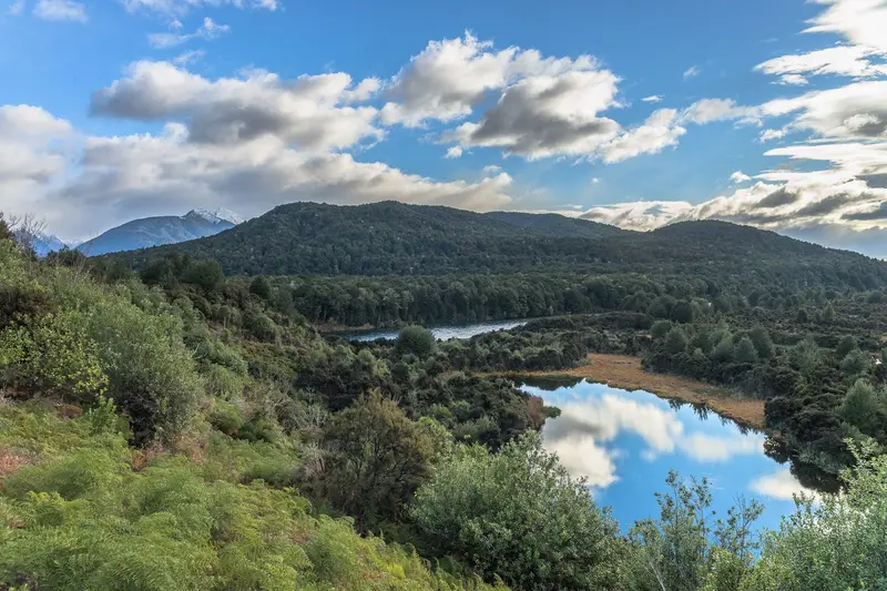
    Situated on the eastern shore of Lake Te Anau, the South Island's largest lake, Te Anau is the main base for Fiordland National Park. From here, tours depart for Milford and Doubtful Sound, and the Kepler Track starts at the town's edge.

    by Felix Gillen

    1. Home
    2. Destinations
    3. New Zealand
    4. Fiordland National Park
    5. Te Anau
    Situated on the eastern shore of Lake Te Anau, the South Island's largest lake, Te Anau is the main base for Fiordland National Park. From here, tours depart for Milford and Doubtful Sound, and the Kepler Track starts at the town's edge.

    Sehenswürdigkeiten

    Discover the most important sights and attractions

    Solar System Walk

    1Solar System Walk

    The scale model Planet Path begins with the Sun on the lake promenade and leads along the shore towards Kepler Track.
    Open in Google Maps
    Lake Te Anau

    2Lake Te Anau

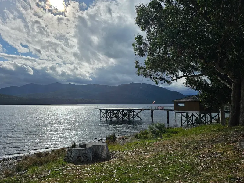
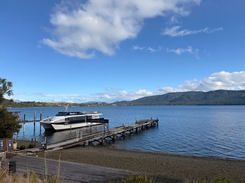
    The South Island’s largest lake stretches for about 65 kilometers along the border of the National Park. The waterfront promenade in the town is perfect for sunset strolls, and water taxis transport hikers to the tracks on the other shore.
    Open in Google Maps
    Fiordland National Park Visitor Centre

    3Fiordland National Park Visitor Centre

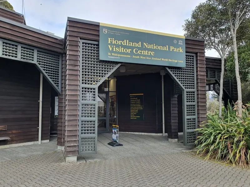
    At the Department of Conservation visitor centre on the lakefront promenade, you get weather and track info, maps and hut tickets for the Great Walks.
    Open in Google Maps
    Te Anau Glowworm Caves

    4Te Anau Glowworm Caves

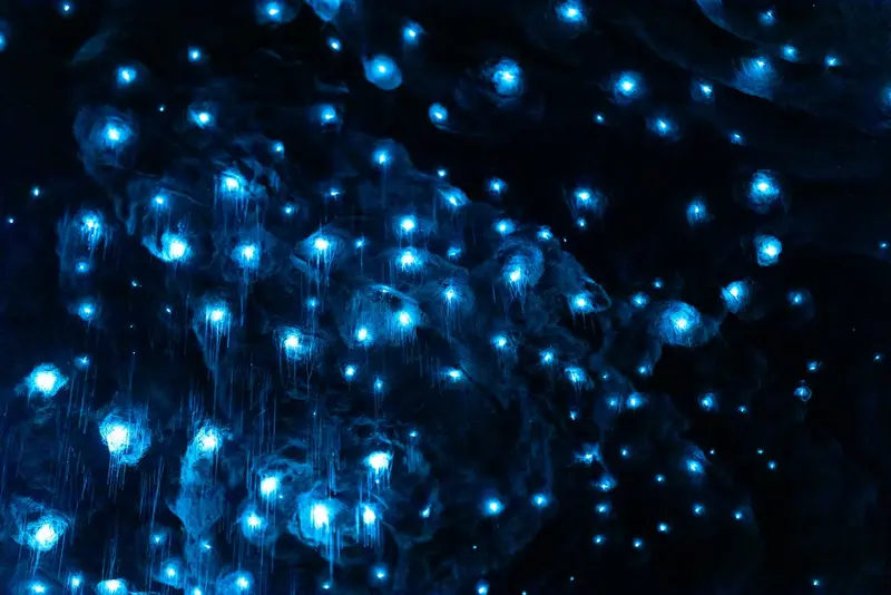
    A boat takes you across the lake to the west shore, where you explore on foot and by small boat through limestone caves with an underground waterfall and grottoes full of glow-worms. The tour lasts a good two hours; no photography is allowed in the glow-worm grotto.
    Open in Google Maps
    Takahe Statue

    5Takahe Statue

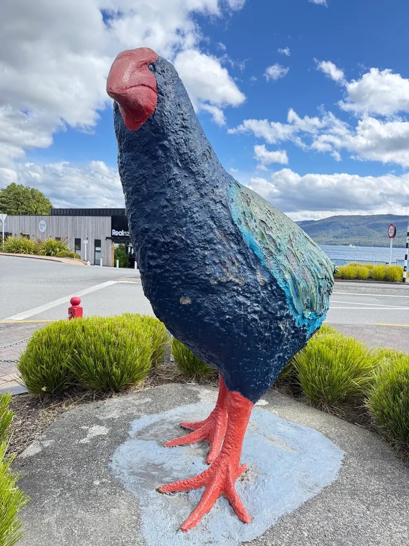
    The sculpture of the flightless Takahē on the lakeside promenade commemorates the bird's rediscovery in the Murchison Mountains in 1948.
    Open in Google Maps
    Lake2Lake Trail

    6Lake2Lake Trail

    The bike and hiking trail connects Te Anau and Manapouri for about 28 kilometers, mostly flat along the Waiau River.
    Open in Google Maps

    Essen & Trinken

    1

    Sandfly Cafe Te Anau

    Café in 9 The Lane.
    Show on Google Maps
    2

    Redcliff Restaurant and bar

    Bar in 12 Mokonui St.
    Show on Google Maps
    3

    Ditto

    Restaurant in 92 Town Centre.
    Show on Google Maps
    4

    Blak Shak Te Anau

    Bakery in 72 Town Centre.
    Show on Google Maps
    5

    Glow Worm Restaurant

    Restaurant in 24 Mokoroa Street.
    Show on Google Maps
    6

    The Fat Duck

    Bar in 124 Town Centre.
    Show on Google Maps
    7

    Olive Tree Cafe Te Anau

    Café in 52 Town Centre.
    Show on Google Maps
    8

    The Ranch Bar & Grill

    Restaurant in 111 Town Centre.
    Show on Google Maps
    9

    Radha's Indian Restaurant

    Restaurant in 118 Town Centre.
    Show on Google Maps
    10

    Bailiez Cafe & Bar

    Bar in The Distinction Luxmore Hotel 41 Town Centre.
    Show on Google Maps

    Gate to Fiordland

    Gateway to FiordlandLake Te Anau is up to 417 metres deep and, with its three western fjord arms, is itself a glacial lake. The town emerged only in the 20th century, primarily through the construction of the Milford Road and tourism. The glowworm caves on the western shore are linked to an ancient Māori tradition and were rediscovered in 1948.In the Te Anau Bird Sanctuary on the southern shore live Takahē, a flightless bird that was long considered extinct and was rediscovered in 1948 in the nearby Murchison Mountains.

    Traveling in Te Anau

    Getting Around Te AnauEverything in town is walkable, and the Lake2Lake Cycle Trail connects Te Anau with Manapouri. Shuttles run to the starting points of the Kepler, Milford, and Routeburn Tracks.Queenstown: approx. two hours by car, daily busesInvercargill: about two hours via Mossburn or the Southern Scenic RouteRefuel before your trip to Milford Sound in Te Anau

    Accommodations in Te Anau

    Find perfect stay in Te Anau

    Booking.com* (Affiliate link)
    Search Hotels
    Agoda* (Affiliate link)
    Search Hotels
    Airbnb
    Vacation Rentals

    * Affiliate link: if you book through it, we earn a small commission. The price stays the same for you.

    Nearby

    Manapouri

    Manapouri

    Manapouri is a small town on the eastern shore of Lake Manapouri, approximately 20 kilometers south of Te Anau. Boats for Doubtful Sound tours depart from Pearl Harbour, and it's also a quieter overnight stay option than Te Anau.
    Fiordland National Park

    Fiordland National Park

    Fiordland, at around 12,500 square kilometers, is New Zealand's largest national park and part of the UNESCO World Heritage Site Te Wāhipounamu. Fourteen fjords, including Milford and Doubtful Sound, cut deep into mountains covered in rainforest. Te Anau is the gateway for almost all tours.
    Doubtful Sound

    Doubtful Sound

    The Doubtful Sound, in Māori Patea, is three times longer than Milford Sound and considerably more secluded. It is only accessible via a boat trip across Lake Manapouri and a bus journey over the Wilmot Pass, so fewer visitors share the fjord.

    Southland

    Southland is New Zealand's southernmost region, from the peaks of Fiordland to Foveaux Strait. It includes vast farmland, the city of Invercargill, Bluff Harbour, Stewart Island, and the southern Catlins.
    Glenorchy

    Glenorchy

    Glenorchy is located at the northern end of Lake Wakatipu, a 45-minute drive from Queenstown, at the entrance to the Dart and Rees Valleys. The town is a starting point for the Routeburn Track and the backdrop for numerous film scenes, including from The Lord of the Rings trilogy.

    Sources & method

    • Photos: Pexels, Google Maps. Each photo carries its credit.
    • Place data such as addresses and ratings comes from Google Maps.
    • The content is based on web research from public, traceable sources. How the content is made · The role of AI