Fernweh: Home
    ExploreTravel GuidesPlan a tripMy tripLast visited
    de|en
    All Places & RegionsAll highlightsAbout FernwehFAQPrivacy PolicyImprint
    ExploreTravel GuidesPlan a tripMy tripLast visited
    • Overview
    • Places in the region
    • Eat & drink
    • Culture
    • Getting around
    • Round trips
    • Nearby
    Beiras and Serra da Estrela

    Portugal

    Beiras and Serra da Estrela

    Region

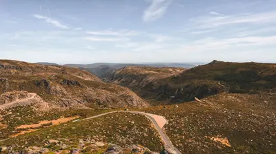
    The Serra da Estrela is the highest mountain range on the Portuguese mainland. Granite, glacial valleys, mountain lakes, and sheep pastures define the landscape, surrounded by granite cities like Guarda, Covilhã, and Belmonte.

    by Felix Gillen

    1. Home
    2. Destinations
    3. Portugal
    4. Beiras and Serra da Estrela
    The Serra da Estrela is the highest mountain range on the Portuguese mainland. Granite, glacial valleys, mountain lakes, and sheep pastures define the landscape, surrounded by granite cities like Guarda, Covilhã, and Belmonte.
    The inland region is rugged and sparsely populated. Its highest point is the Torre at 1,993 m. In summer, you hike through glacial valleys like the Vale do Zêzere near Manteigas; in winter, there's often snow up high and a small ski resort. Further east, towards the Spanish border, you'll find fortified villages like Monsanto and Belmonte. Without a car, getting around here is arduous.
    Covilhã

    Place 1 of 4

    Covilhã

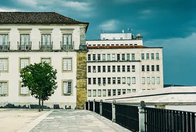
    Covilhã, on Serra da Estrela's eastern slope, was for centuries Portugal's wool town. Today, the Universidade da Beira Interior, old factories, and much street art shape the image.

    Discover
    Guarda

    Place 2 of 4

    Guarda

    Guarda lies at just over 1,000 m and is Portugal's highest city. King Sancho I founded it in 1199 as a bulwark against Castile.

    Discover
    Monsanto

    Place 3 of 4

    Monsanto

    Monsanto clings to a granite mountain over the Beira Baixa plain. Houses are built between, under and on huge boulders; a castle ruin sits atop.

    Discover
    Serra da Estrela Natural Park

    Place 4 of 4

    Serra da Estrela Natural Park

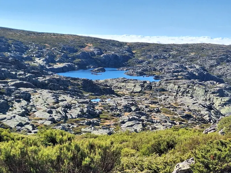
    The Serra da Estrela Natural Park is Portugal's largest protected area. It encompasses the mainland's highest mountain range, featuring glacial valleys, mountain lakes, granite cliffs, and barren plateaus.

    Discover

    Sights in Beiras and Serra da Estrela

    Discover the most important sights and attractions

    Cascata do Labaredas

    Cascata do Labaredas

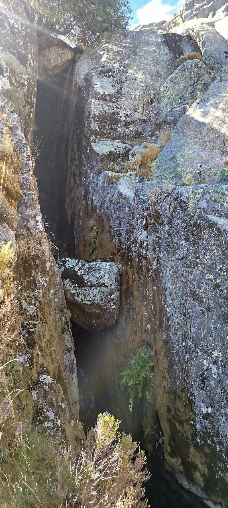
    Waterfall in the upper Zêzere Valley, not far from Covão d'Ametade. After the spring snowmelt, it carries the most water; in late summer, it's often just a trickle.
    Open in Google Maps
    Lagoa Serrano

    Lagoa Serrano

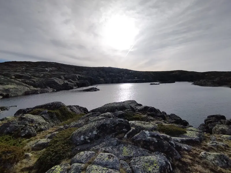
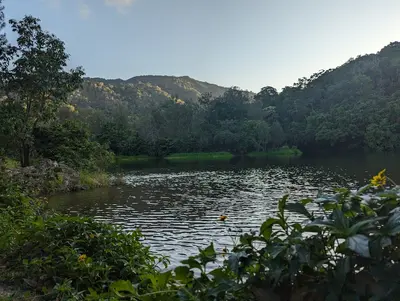
    Small mountain lake west of Torre, nestled among granite blocks. Accessible via hiking trails on the high plateau. A peaceful place away from the road.
    Open in Google Maps
    Miradouro, Vale de Loriga

    Miradouro, Vale de Loriga

    Viewpoint above the Vale de Loriga, one of the striking glacial valleys of the Serra. The U-shaped valley stretches down to the village of Loriga with its terraced fields. The light is best in the morning and late afternoon.
    Open in Google Maps
    Cântaro Magro

    Cântaro Magro

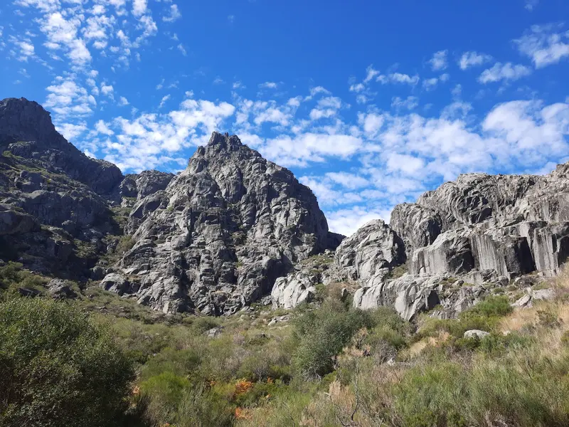
    Slender granite tower above Covão d'Ametade and one of the landmarks of the Serra. The summit is reserved for climbers, but from below and from the surrounding paths, the steep rock needle is a striking photo motif.
    Open in Google Maps
    Vista panorâmica Covão Cimeiro

    Vista panorâmica Covão Cimeiro

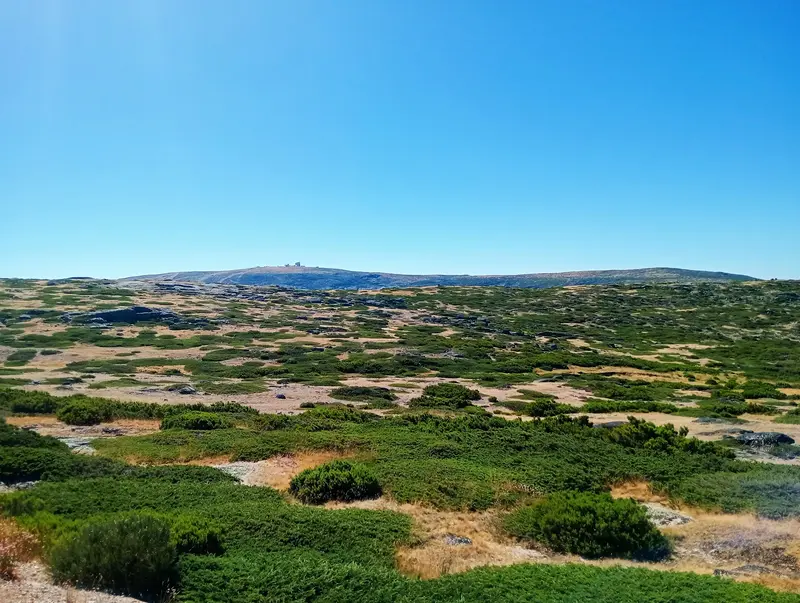
    Viewpoint near Covão Cimeiro with views over the high plateau and the Cântaros. However, in fog, which quickly rolls in up here, you'll see very little.
    Open in Google Maps
    Covão d'Ametade

    Covão d'Ametade

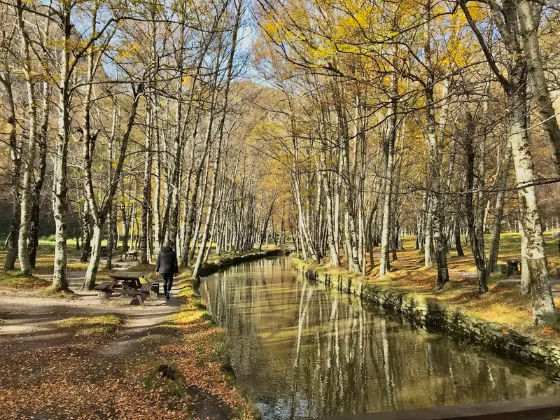
    Green hollow near the Zêzere's source, right below Cântaro Magro cliffs. Birches line the young river, picnic tables available. Good base for hikes into the glacial valley towards Manteigas. In autumn, birches turn yellow.
    Open in Google Maps

    Dining & Drinks

    Lenda Viriato

    Restaurant in R. de Santo Aleixo 16.
    Show on Google Maps

    Solar da Estrela

    Restaurant in R. Gago Coutinho.
    Show on Google Maps

    daSerra

    Restaurant in Ac. Particular 64.
    Show on Google Maps

    Varanda da Estrela

    Café in R. Nave da Areia 5.
    Show on Google Maps

    Casa do Clube

    Restaurant in R. dos Castros.
    Show on Google Maps

    O Vicente

    Café in Estrada Nacional 231.
    Show on Google Maps

    As Thermas

    Restaurant in Av. das Termas 26.
    Show on Google Maps

    Casa da Fonte Sagrada

    Café in Estrada Nacional .
    Show on Google Maps

    Restaurante A TORRE

    Restaurant in Torre.
    Show on Google Maps

    Cantinho da Serra

    Restaurant in N 231 Edifício Ventura.
    Show on Google Maps

    Primor Serra

    Restaurant in N 339.
    Show on Google Maps

    Zé da Montanha

    Restaurant in N 339.
    Show on Google Maps

    As Lezírias

    Restaurant in R. Fernando J. G. Braga.
    Show on Google Maps

    Restaurante "Alquimia"

    Restaurant in Av. das Termas.
    Show on Google Maps

    Restaurante Vale Do Rossim

    Restaurant in Vale do rossim Serra da Estrela.
    Show on Google Maps

    Culture & Tradition

    The area has lived off sheep farming and wool for centuries. Covilhã was long the center of the Portuguese textile industry, a story told by the university's Wool Museum. From the milk of Bordaleira sheep comes the Queijo Serra da Estrela, a creamy raw milk cheese often eaten with a spoon. The Cão da Serra da Estrela, a large shepherd dog, also originates from here.Belmonte is the birthplace of Pedro Álvares Cabral and has a Jewish community that has preserved its faith in secret for centuries.

    Traveling

    A rental car is the most practical solution. The road over Torre (N339) is occasionally closed in winter due to snow. Covilhã and Guarda are located on the Linha da Beira Baixa; Guarda is also on the Linha da Beira Alta. The mountain villages are rarely accessible by bus.ExcursionsVale do Zêzere: Glacier valley near Manteigas with hiking trails.Monsanto: Granite village between giant boulders.Aldeias Históricas: Villages like Sortelha or Piódão in the wider area.

    Round trips through this region

    Serra da Estrela & Central Portugal

    Serra da Estrela & Central Portugal

    From the university city of Coimbra to the mountains: Covilhã is the starting point for the Serra da Estrela Natural Park, with glacial cirques, mountain lakes and the mainland's highest point, Belmonte a quiet place with a castle and Jewish history. Best from May to June and in September, with five overnights in just under a week.

    6 Days
    3 stops

    Nearby

    Serra da Estrela Natural Park

    Serra da Estrela Natural Park

    The Serra da Estrela Natural Park is Portugal's largest protected area. It encompasses the mainland's highest mountain range, featuring glacial valleys, mountain lakes, granite cliffs, and barren plateaus. Since 2020, the Serra has also been a UNESCO Global Geopark.
    Covilhã

    Covilhã

    Covilhã, on Serra da Estrela's eastern slope, was for centuries Portugal's wool town. Today, the Universidade da Beira Interior, old factories, and much street art shape the image. From here, you quickly reach the Torre.
    Belmonte

    Belmonte

    Belmonte is a small village on a hill in the Beira Interior, east of the Serra da Estrela. Pedro Álvares Cabral, who in 1500 became the first European to reach Brazil, was born here. Belmonte is also known for its Jewish community: descendants of forcibly baptised Jews secretly preserved their customs here for centuries and only openly professed their faith again in the 20th century.
    Guarda

    Guarda

    Guarda lies at just over 1,000 m and is Portugal's highest city. King Sancho I founded it in 1199 as a bulwark against Castile. Today it is a quiet granite city with an imposing cathedral, remains of the city wall, and clear, often cold air.
    Centro

    Centro

    The Centro region stretches from the Aveiro Lagoon on the coast to the mountains at the Spanish border. Its focal point is the university city of Coimbra, complemented by Aveiro with its canals, the Roman ruins of Conímbriga, the Buçaco Forest, and the schist villages of the Serra da Lousã.

    Sources & method

    • Photos: Unsplash, Google Maps. Each photo carries its credit.
    • Place data such as addresses and ratings comes from Google Maps.
    • The content is based on web research from public, traceable sources. How the content is made · The role of AI