Fernweh: Home
    ExploreTravel GuidesPlan a tripMy tripLast visited
    de|en
    All Places & RegionsAll highlightsAbout FernwehFAQPrivacy PolicyImprint
    ExploreTravel GuidesPlan a tripMy tripLast visited
    Tsavo East National Park
    Mgiganteus / Wikimedia Commons / CC BY-SA 3.0

    Kenya

    Tsavo East National Park

    Point of Interest

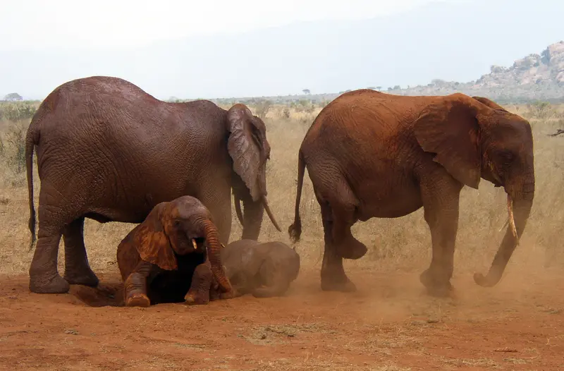
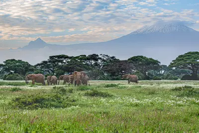
    Tsavo East National Park, located east of the Nairobi–Mombasa road, covers 13,747 square kilometers. It is known for its elephants, which wallow in the red dust, giving them a reddish shimmer.

    by Felix Gillen

    1. Home
    2. Destinations
    3. Kenya
    4. Amboseli & Tsavo
    5. Tsavo East National Park
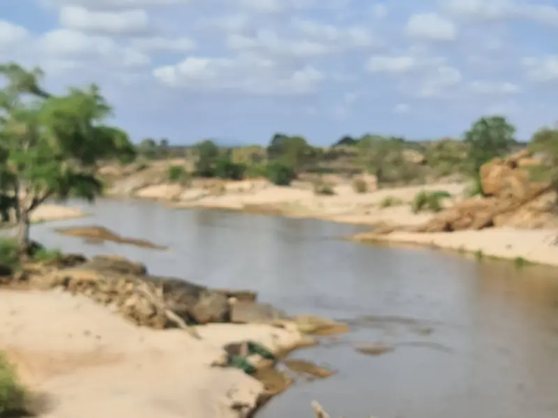
    Tsavo East National Park, located east of the Nairobi–Mombasa road, covers 13,747 square kilometers. It is known for its elephants, which wallow in the red dust, giving them a reddish shimmer.Vast, dry bush savanna, the Galana River with Lugard Falls, and watering holes like Aruba Dam and Mudanda Rock define the game drives.

    Sights in Tsavo East National Park

    Discover the most important sights and attractions
    Lugard Falls
    Point of Interest

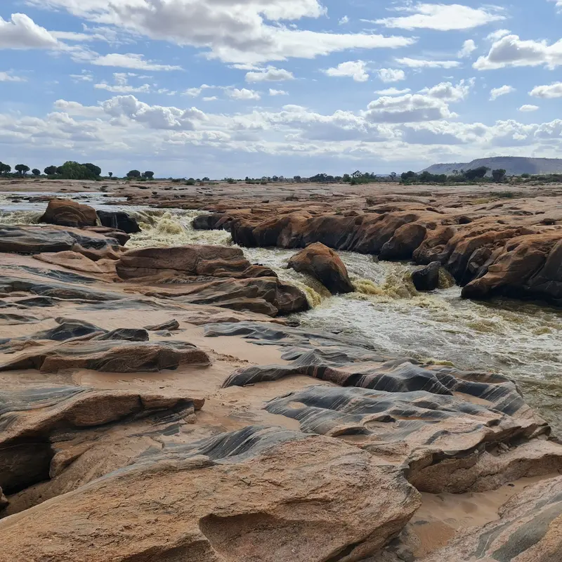
    1Lugard Falls

    White-foaming rapids on the Galana, named after Frederick Lugard. A popular stop on game drives in the park's south.
    Open in Google Maps
    Mudanda Rock
    Point of Interest

    2Mudanda Rock

    A roughly 1.6-kilometer long rock ridge collects rainwater, channeling it into a basin at its base. In the dry season, many elephants come here to drink, and from the rock, you get a good overview.
    Open in Google Maps
    Aruba Dam
    Natural Feature

    3Aruba Dam

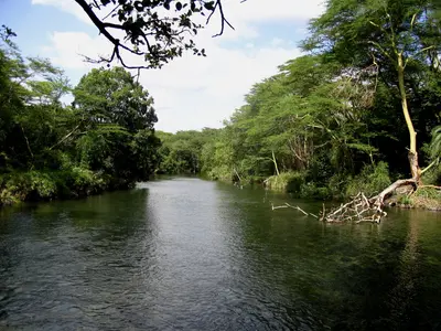
    The reservoir, built in 1952 on the Voi River, is a vital watering hole in the park's south, drawing many animals and waterfowl.
    Open in Google Maps
    Kanderi Swamp
    Point of Interest

    4Kanderi Swamp

    A wetland in the south of the park that holds water even in drier months. Here, elephants, buffalo, and waterfowl gather.
    Open in Google Maps

    Restaurants in Tsavo East National Park

    1

    Java House Express Voi

    The Java House café chain's branch, opened in 2024 at a petrol station in Voi, the main starting point for Tsavo East, is ideal for coffee, breakfast, and a quick snack before your game drive.
    Show on Google Maps

    Nature and History

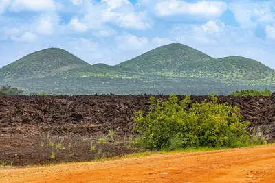
    Red ElephantsThe elephants of Tsavo take dust baths in the iron-rich red earth and therefore often bear a reddish coating. The best photos are captured in the early morning and late afternoon.The Man-Eaters of TsavoDuring the construction of the Uganda Railway in 1898, two lions killed numerous workers, until John Henry Patterson hunted them down. The park itself was founded in April 1948, on an area previously known as the Taru Desert.The Yatta PlateauAlong the western border stretches the approximately 290-kilometer-long Yatta Plateau, one of the world's longest lava flows. Its lava originates from Ol Donyo Sabuk.

    Arrival & Practicalities

    ArrivalThe main starting point is Voi on the Mombasa Road; some lodges are located directly by the park fence. From Voi, you can reach Voi Gate and Manyani Gate.The Madaraka Express stops in Voi, and the Inter-County train also stops in Miasenyi and Mtito Andei.Game DrivesDuring the rainy season, some gates and tracks are impassable; inquire beforehand.At Mudanda Rock, rainwater collects during the dry season, attracting many elephants.FeesEntry fees are paid in advance via eCitizen. As of October 1, 2025, non-residents pay 80 US dollars per adult per 24 hours, children 40 US dollars. The combined ticket for Tsavo East, Tsavo West, and Amboseli costs 215 US dollars.

    Accommodations in Tsavo East National Park

    Find perfect stay in Tsavo East National Park

    Booking.com* (Affiliate link)
    Search Hotels
    Agoda* (Affiliate link)
    Search Hotels
    Airbnb
    Vacation Rentals

    * Affiliate link: if you book through it, we earn a small commission. The price stays the same for you.
    Nearby

    Taita Hills

    Taita Hills

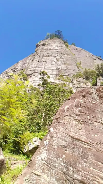
    The Taita Hills rise northwest of Voi from the plains of Tsavo. Small remnants of cloud forest like Ngangao are home to birds found only here, and from Vuria, the highest peak at 2,228 meters, you gaze far across the savanna.At the foot of the hills lies the Taita Hills Wildlife Sanctuary, home to the Salt Lick Safari Lodge, whose stilt buildings stand over a watering hole.
    Amboseli & Tsavo

    Amboseli & Tsavo

    Between Nairobi and the coast lie some of Kenya's most famous national parks: Amboseli at the foot of Kilimanjaro, the two Tsavo Parks on either side of the Mombasa Road, as well as the Chyulu Hills volcanic range and the Taita Hills near Voi. Elephants, lava fields, and clear springs characterize this dry savanna landscape.
    Tsavo West National Park

    Tsavo West National Park

    Tsavo West National Park extends west of the Nairobi–Mombasa road over 9,065 square kilometers. Volcanic cones, black lava fields, and the clear Mzima Springs characterize the park.At Mzima Springs, you can observe hippos and crocodiles from an underwater viewing chamber. The Ngulia Rhino Sanctuary is home to rhinos, and from viewpoints like Roaring Rocks, the view extends to Kilimanjaro on clear days.
    Chyulu Hills

    Chyulu Hills

    The Chyulu Hills are a chain of young volcanic cones, approximately 100 kilometers long, east of Amboseli. Grass-covered hills, mountain forest above 1,800 meters, and lava caves make them a destination for hikers and cavers.Inside lies the Leviathan Cave, one of the world's longest lava tubes at approximately eleven to twelve kilometers. The national park covers 741 square kilometers and borders Tsavo West to the northwest.
    Coast

    Coast

    Kenya's coast on the Indian Ocean stretches from the Tanzanian border to the Lamu Archipelago, combining white beaches, coral reefs, and a Swahili culture shaped over centuries. Here are several UNESCO World Heritage Sites, including Fort Jesus in Mombasa, Lamu Old Town, the Gede Ruins, and the sacred Kaya Forests of the Mijikenda.Many travelers combine an inland safari with a few days by the sea, for example in Diani, Watamu, or Malindi.

    Sources & method

    • Photos: Wikimedia Commons, Google Maps. Each photo carries its credit.
    • Place data such as addresses and ratings comes from Google Maps.
    • The content is based on web research from public, traceable sources. How the content is made · The role of AI