Fernweh: Home
    ExploreTravel GuidesPlan a tripMy tripLast visited
    de|en
    All Places & RegionsAll highlightsAbout FernwehFAQPrivacy PolicyImprint
    ExploreTravel GuidesPlan a tripMy tripLast visited
    Tsavo West National Park
    CT Cooper / Wikimedia Commons / CC BY 3.0

    Kenya

    Tsavo West National Park

    Point of Interest

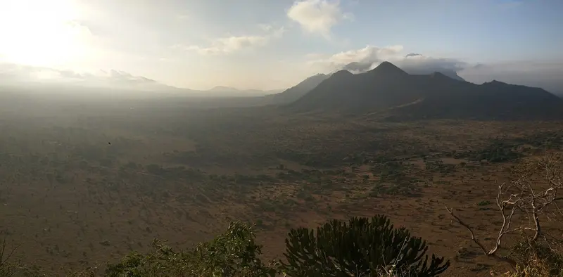
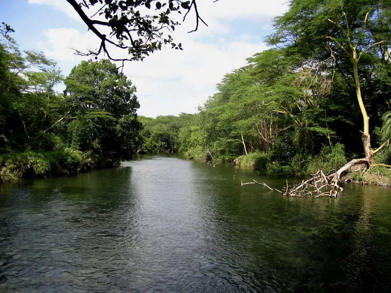
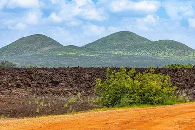
    Tsavo West National Park extends west of the Nairobi–Mombasa road over 9,065 square kilometers. Volcanic cones, black lava fields, and the clear Mzima Springs characterize the park.

    by Felix Gillen

    1. Home
    2. Destinations
    3. Kenya
    4. Amboseli & Tsavo
    5. Tsavo West National Park
    Tsavo West National Park extends west of the Nairobi–Mombasa road over 9,065 square kilometers. Volcanic cones, black lava fields, and the clear Mzima Springs characterize the park.At Mzima Springs, you can observe hippos and crocodiles from an underwater viewing chamber. The Ngulia Rhino Sanctuary is home to rhinos, and from viewpoints like Roaring Rocks, the view extends to Kilimanjaro on clear days.

    Sights in Tsavo West National Park

    Discover the most important sights and attractions
    Mzima Springs
    Natural Feature

    1Mzima Springs

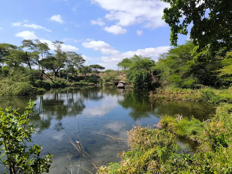
    Spring-fed pool with crystal-clear water, fed by rain from the Chyulu Hills. From an underwater observation room, you'll see hippos and crocodiles – the only such facility in Kenya.
    Open in Google Maps
    Shetani Lava Flow
    Natural Feature

    2Shetani Lava Flow

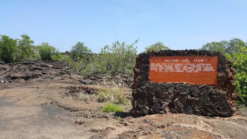
    A field of black, barely weathered 19th-century lava, mostly dated to 1856. "Shetani" means "devil" in Swahili. Nearby are small lava caves for which you'll need a flashlight.
    Open in Google Maps
    Roaring Rocks
    Attraction

    3Roaring Rocks

    A rocky viewpoint with panoramic views over the Rhino Valley. On clear days, you can see Kilimanjaro from here.
    Open in Google Maps

    Restaurants in Tsavo West National Park

    Nature and History

    Volcanic LandscapeThe Shetani lava flow and Chaimu Crater date back to Chyulu Hills eruptions, mostly 1856, though some sources cite 1886. The black rock remains largely unweathered. “Shetani” means ‘devil’ in Swahili. Small lava caves near the flow can be explored with a flashlight.Water from the Chyulu HillsThe Chyulu Hills have no permanent rivers: the rain that falls there feeds the Mzima Springs and the surrounding rivers. The springs form pools of crystal-clear water where hippos and crocodiles live.A Park Since 1948Tsavo West was founded in 1948 and is managed by the Kenya Wildlife Service. The A109 highway and railway line separate it from Tsavo Ost. The Ngulia Rhino Sanctuary was established in 1986 as a fenced reserve for black rhinos and significantly expanded in December 2025.

    Arrival & Essentials

    Getting ThereThe Mtito Andei Gate is located on Mombasa Road, approximately halfway between Nairobi and Mombasa.The Madaraka Express Inter-County train stops in Mtito Andei and Voi.Several airstrips, including Kilaguni, are served by light aircraft.Game DrivesThe tracks are unpaved; a 4x4 is advisable. There are no shops or petrol stations in the park, so stock up beforehand.Inquire at the gate about opening times for the Ngulia Rhino Sanctuary. A viewing platform at a waterhole within the sanctuary can be booked through the Tsavo Trust.Fees & Best Time to VisitPayment is made in advance via eCitizen; no cash is accepted at the gate. As of October 1, 2025, non-residents pay US$80 per adult per 24 hours, children US$40. Combination tickets are available for Tsavo West and Amboseli (US$150), and for Tsavo East, Tsavo West, and Amboseli (US$215).The dry season from June to October is the best time to visit, as the tracks are firm and animals gather at water sources.

    Accommodations in Tsavo West National Park

    Find perfect stay in Tsavo West National Park

    Booking.com* (Affiliate link)
    Search Hotels
    Agoda* (Affiliate link)
    Search Hotels
    Airbnb
    Vacation Rentals

    * Affiliate link: if you book through it, we earn a small commission. The price stays the same for you.
    Nearby

    Amboseli & Tsavo

    Amboseli & Tsavo

    Between Nairobi and the coast lie some of Kenya's most famous national parks: Amboseli at the foot of Kilimanjaro, the two Tsavo Parks on either side of the Mombasa Road, as well as the Chyulu Hills volcanic range and the Taita Hills near Voi. Elephants, lava fields, and clear springs characterize this dry savanna landscape.
    Chyulu Hills

    Chyulu Hills

    The Chyulu Hills are a chain of young volcanic cones, approximately 100 kilometers long, east of Amboseli. Grass-covered hills, mountain forest above 1,800 meters, and lava caves make them a destination for hikers and cavers.Inside lies the Leviathan Cave, one of the world's longest lava tubes at approximately eleven to twelve kilometers. The national park covers 741 square kilometers and borders Tsavo West to the northwest.
    Taita Hills

    Taita Hills

    The Taita Hills rise northwest of Voi from the plains of Tsavo. Small remnants of cloud forest like Ngangao are home to birds found only here, and from Vuria, the highest peak at 2,228 meters, you gaze far across the savanna.At the foot of the hills lies the Taita Hills Wildlife Sanctuary, home to the Salt Lick Safari Lodge, whose stilt buildings stand over a watering hole.
    Tsavo East National Park

    Tsavo East National Park

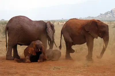
    Tsavo East National Park, located east of the Nairobi–Mombasa road, covers 13,747 square kilometers. It is known for its elephants, which wallow in the red dust, giving them a reddish shimmer.Vast, dry bush savanna, the Galana River with Lugard Falls, and watering holes like Aruba Dam and Mudanda Rock define the game drives.
    Amboseli National Park

    Amboseli National Park

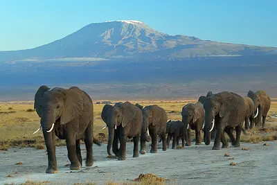
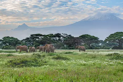
    Amboseli National Park, in southern Kenya bordering Tanzania, approx. 240 km southeast of Nairobi, overlooks Kilimanjaro across the border. Elephant herds against the peak, towering over the plains on clear days, define its iconic scene.Across 392 square kilometers, dry plains, the mostly dry Lake Amboseli, and green swamps alternate. From Observation Hill, you overlook swamps and plains.

    Sources & method

    • Photos: Wikimedia Commons, Google Maps. Each photo carries its credit.
    • Place data such as addresses and ratings comes from Google Maps.
    • The content is based on web research from public, traceable sources. How the content is made · The role of AI