Fernweh: Home
ExploreGuideDestinationsMy tripsMy trip
de|en
All Places & RegionsRound tripsNight trains in EuropeAll highlightsAbout FernwehFAQPrivacy PolicyImprint
Download on the App StoreGet it on Google Play
ExploreGuideDestinationsMy tripsMy trip
    • Recommendations
    • Tours
    • Eat & drink
    • Getting around
    • Accommodation
    • Nearby
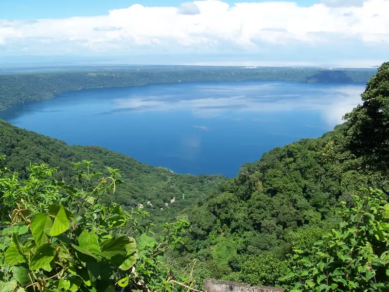
    Laguna de Apoyo

    Zuluniga / Wikimedia Commons / CC0

    Nicaragua

    Laguna de Apoyo

    Point of InterestNature

    Laguna de Apoyo, located between Granada and Masaya, is a clear crater lake formed approximately 23,000 years ago when a volcano collapsed.

    by Felix Gillen

    1. Home
    2. Destinations
    3. Nicaragua
    4. Granada and Masaya
    5. Laguna de Apoyo
    Laguna de Apoyo, located between Granada and Masaya, is a clear crater lake formed approximately 23,000 years ago when a volcano collapsed. Travelers come here to swim, kayak, and relax on its forested shores, just about 20 minutes from Granada. The lake reaches depths of up to 175 meters, measures approximately 6.6 km in diameter, and is protected as a nature reserve.
    Nicaragua travel guideRound trips in NicaraguaPlan a trip with Laguna de Apoyo

    Contents

    • Recommendations
    • Tours
    • Eat & drink
    • Getting around
    • Accommodation
    • Nearby

    Tours & experiences in Laguna de Apoyo

    Search tours for Laguna de Apoyo on GetYourGuide* (Affiliate link)On GetYourGuide, with reviews from other travellers

    * Affiliate link: if you book through it, we earn a small commission. The price stays the same for you.

    Restaurants in Laguna de Apoyo

    Getting there and practical tips

    Getting thereFrom Granada or Masaya it is about 20 minutes by car or taxi; many Granada hostels run day shuttles.Public buses run from Masaya market down into the crater.SwimmingAccess to the water is mostly through lodgings on the west shore that sell day passes with loungers, kayaks and a jetty (about 4 to 10 US dollars).The bottom drops steeply a few metres from the shore; children need supervision.There are hardly any shops at the lake, bring cash and essentials. For safety information see the FCDO travel advice.

    Accommodations in Laguna de Apoyo

    Find perfect stay in Laguna de Apoyo

    Booking.com* (Affiliate link)
    Search Hotels
    Agoda* (Affiliate link)
    Search Hotels
    Airbnb
    Vacation Rentals

    * Affiliate link: if you book through it, we earn a small commission. The price stays the same for you.

    Nearby
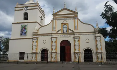
    Granada and Masaya

    Granada and Masaya

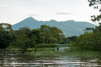
    Between Managua and Lake Nicaragua, the country's most visited destinations are close by: the colonial city of Granada on the lake shore, the artisan city of Masaya with its active volcano, and the crater lagoon Laguna de Apoyo for swimming. From Granada, Laguna de Apoyo is about 20 minutes by car; Masaya lies about 14 km west.

    Alvison Lucas Hunter Arnuero·Unsplash

    Masaya

    Masaya

    Masaya, situated between Managua and Granada, is known as "Cuna del Folclore Nicaragüense," the cradle of Nicaraguan folk culture. Visitors are drawn by its artisan market, the indigenous quarter of Monimbó, and the festivals honoring San Jerónimo, which span several months. Just outside the city is Masaya Volcano National Park; nearby are the Pueblos Blancos, featuring Catarina's viewpoint overlooking Laguna de Apoyo.

    Byralaal·CC BY-SA 4.0

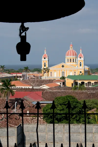
    Granada

    Granada

    Located on the western shore of Lake Nicaragua, Granada entices with colorful colonial houses, churches, and squares against the backdrop of Mombacho Volcano, serving as the classic base for exploring western Nicaragua. Founded by Francisco Hernández de Córdoba in 1524, it ranks among the oldest Spanish cities on the American mainland. In 1856, the troops of adventurer William Walker burned Granada to the ground during their retreat, and many buildings were subsequently rebuilt.

    Sebastian Scheper·CC BY-SA 4.0

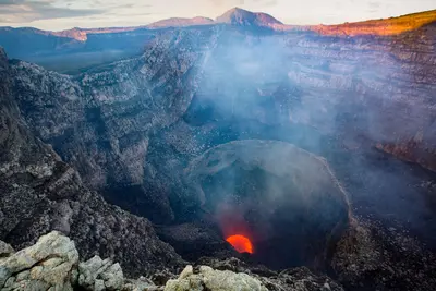
    National Park Volcano Masaya

    National Park Volcano Masaya

    Masaya Volcano National Park, between Managua and Granada, is Nicaragua's first national park. You drive by car or on a guided tour right up to the rim of the active Santiago crater, where gases rise; in the evening a red glow may be visible deep inside, depending on activity.For volcanic activity and safety, see the FCDO travel advice for Nicaragua. In 2024 a landslide buried the lava lake and the park closed temporarily; since then the glow has been visible to varying degrees depending on activity.

    ROBERTO ZUNIGA·Pexels

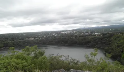
    Managua

    Managua

    Managua, on the southern shore of Lake Managua (also called Xolotlán), has been Nicaragua's capital since 1852 and, with around one million inhabitants (2023 estimate), is the country's largest city. The earthquake of 23 December 1972 destroyed around 90 per cent of the old centre; figures for the death toll vary widely. For most travellers Managua is above all the arrival point at the international airport and a transport hub, with buses to every part of the country.For information on crime, including at the airport and bus stations, and on earthquakes, see the UK FCDO travel advice.

    Hobbitschuster·CC BY-SA 4.0

    Your next steps

    Laguna de Apoyo is in Nicaragua. Ways to carry on from here.

    • More in Nicaragua

      Highlights, areas, routes and the best time to travel for all of Nicaragua.

      Nicaragua travel guide
    • Round trips in Nicaragua

      Ready-made routes through Nicaragua, with stops, nights and a map.

      See the routes
    • Plan a trip with Laguna de Apoyo

      The Guide asks about season, length and who is coming, and suggests a trip with Laguna de Apoyo.

      Plan the trip

    Sources & method

    • Photos: Wikimedia Commons. Each photo carries its credit.
    • The content is based on web research from public, traceable sources. How the content is made · The role of AI