The route connects Argentina's four great faces in around two and a half weeks: Buenos Aires, Iguazú Falls, the colorful high valleys of the Northwest, and Southern Patagonia's glaciers and granite peaks. Long journeys are via domestic flights, the Northwest by rental car.
19 Days / 18 Nights
October–November and March–April
8 stops
Why This Route?
It showcases on one trip how diverse the country is: City and Tango, rainforest, Andean culture at over 2,000 meters, and the ice of Patagonia. For a first trip to Argentina, this is the most balanced combination.
Hidden Gems
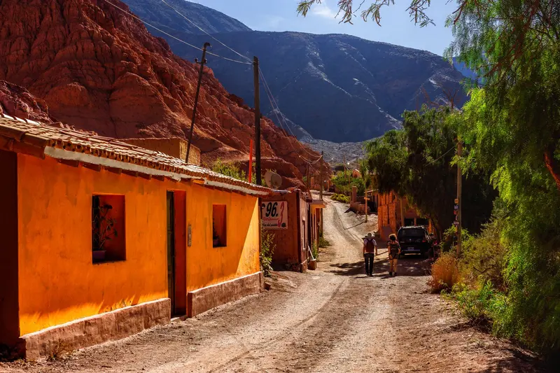
Paleta del Pintor at Maimará in morning light
Mirador de los Cóndores in El Chaltén at sunset
Fundación Proa in La Boca with rooftop terrace over the old port
Getting there and back
Round trip, returning to where you started
Arrival
Flight · Buenos Aires Ezeiza (EZE)From Ezeiza to the city, you can travel by taxi, remis, or shuttle bus. Domestic flights for this route usually depart from the city-adjacent Aeroparque Jorge Newbery.
Departure
Flight · Buenos Aires Ezeiza (EZE)Plan a buffer night in Buenos Aires for your return flight from Ezeiza, because domestic flights are often delayed.
Itinerary
Stop 1 • 4 Nights
Buenos Aires
City
Route highlight
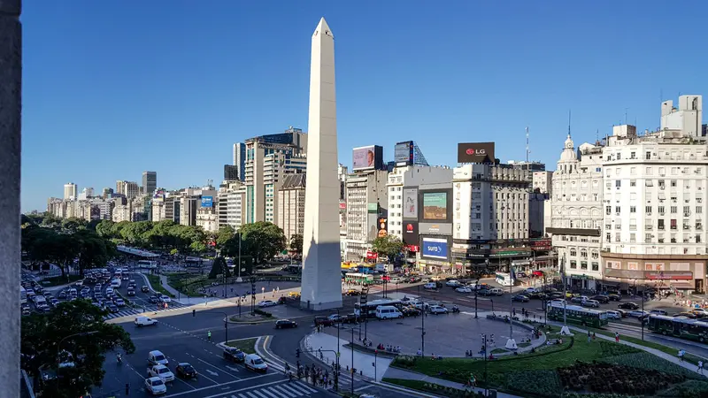
Buenos Aires is Argentina's capital and, with over three million inhabitants in the city proper and many more in the greater metropolitan area, it is the country's political and cultural center. The city is located on the west bank of the Río de la Plata and is divided into 48 barrios, each with its own distinct character. Wide boulevards, Belle Époque architecture, traditional cafés, and a vibrant tango scene define its image.The historic center, with Plaza de Mayo, Casa Rosada, and the Cabildo, is located close to the river. South of it lies San Telmo, one of the oldest neighborhoods, with cobblestone streets, antique shops, and its Sunday market. Even further south, by the old port, is La Boca, with its brightly painted houses along Caminito and the La Bombonera stadium. To the north, you'll find elegant Recoleta with its famous cemetery and beyond that, Palermo, the largest barrio, with parks, boutiques, and the nightlife districts of Palermo Soho and Palermo Hollywood. Finally, by the water, lies Puerto Madero, the newest neighborhood in the converted docklands.
San Telmo, La Boca, Recoleta, Palermo; a tango evening
6 Sights
3 Restaurants
Tango, Cafes and Football
Tango originated in the late 19th century in the port districts along the Río de la Plata and has been a UNESCO intangible cultural heritage since 2009. In Buenos Aires, you encounter it in two ways: as a show for visitors and in the Milongas, the dance evenings that the Porteños themselves attend. In San Telmo, couples also dance on the street on weekends.Football is equally influential. In La Boca stands La Bombonera, the stadium of Boca Juniors, where Diego Maradona became famous. And in the evenings, many restaurants only fill up from 9 PM onwards.
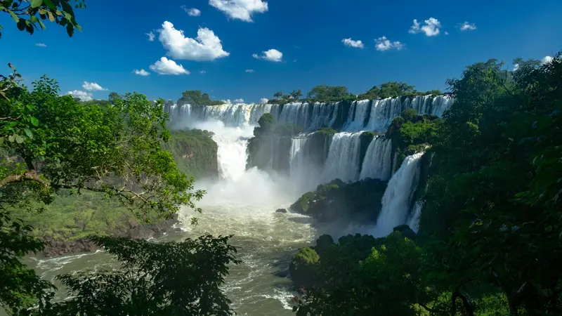
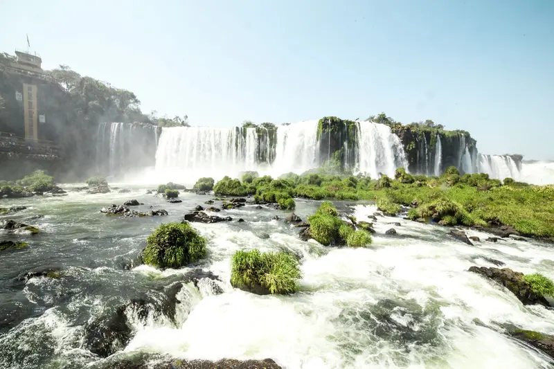
The Iguazú Falls, on the border with Brazil, are among the largest waterfall systems on Earth: Spanning approximately 2.7 kilometers in width, the Río Iguazú plunges up to 82 meters deep in 150 to 300 individual cascades, depending on water levels. Around 80 percent of the falls are located on the Argentinian side, protected within the Parque Nacional Iguazú, which was founded in 1934 and has been a UNESCO World Heritage site since 1984.Within the park, walkways connect the Circuito Superior, offering panoramic views over the escarpment, and the Circuito Inferior, which leads closer to individual falls. The narrow-gauge railway, Tren Ecológico de la Selva, operates between the stations and is included in the admission fee. The name originates from the Guaraní language and means "big water."Current Notice (as of October 2026): The walkway to Garganta del Diablo, the most powerful fall, was preventatively dismantled due to exceptionally high water levels starting August 3, 2026. There is no set date for its reopening; Circuito Superior and Inferior remain open. Please check the National Park's official status before your visit.
Overnight stay in Puerto Iguazú, a full day in the National Park
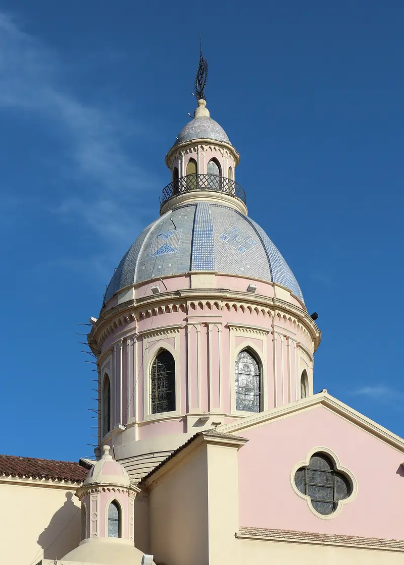
Salta, known as “La Linda,” was founded in 1582 and is renowned for its Spanish colonial architecture. Situated at approximately 1,150 meters at the foot of Cerro San Bernardo, it serves as the most important starting point for tours to the Quebrada de Humahuaca, Cafayate, and the Salinas Grandes.The focal point is Plaza 9 de Julio, featuring the 18th-century Cathedral and Cabildo, which now houses a historical museum. Right next door, the Museo de Arqueología de Alta Montaña displays the Llullaillaco Mummies, three Inca children sacrificed over 500 years ago on an Andean peak. A cable car ascends Cerro San Bernardo, offering views over the city. In the evenings, you can enjoy folk music with Empanadas and Locro in the Peñas of Calle Balcarce.
This small village at the entrance to the Quebrada de Humahuaca is situated directly at the foot of the Cerro de los Siete Colores, the "Mountain of Seven Colors," one of Argentina's most famous photo opportunities. In the village square, vendors sell local handicrafts.The approximately three-kilometer-long Paseo de los Colorados leads around the colorful rocks; in the morning light, the colors appear particularly vibrant. Purmamarca is also a starting point for the drive over the Cuesta de Lipán to the Salinas Grandes and a popular place to experience the Carnival of the North.
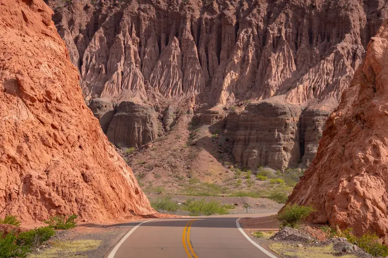
Cafayate, situated at around 1,680 meters in the Valles Calchaquíes in the south of Salta province, is the hub of northern winemaking. Red mountains, vineyards, and a dry, sunny climate define its surroundings. The typical grape variety is the aromatic white wine Torrontés; many Bodegas around the town offer tours and tastings.Even the journey there is an experience: The paved Ruta Nacional 68 leads from Salta through the Quebrada de las Conchas with its red rock formations such as the Garganta del Diablo and the Anfiteatro, a rock gorge with remarkable acoustics. The approximately 190-kilometer journey takes about four hours, including photo stops. To the north, the unpaved Ruta 40 stretches to Cachi; it's best avoided during the rainy season.
Via the Quebrada de las Conchas back towards Salta
El Calafate is located on the southern shore of Lago Argentino, Argentina's largest lake, between dry, windy steppe and the Southern Patagonian Ice Field. This compact town is the most important base for the Perito Moreno Glacier, about 80 kilometers to the west, and for boat trips to the Upsala and Spegazzini glaciers, which depart from Punta Bandera port, about 47 kilometers outside.On the edge of town is the Laguna Nimez Bird Sanctuary, with flamingos and black-necked swans; a few kilometers outside, the Glaciarium exhibition center explains the world of ice. The airport is located about 20 kilometers to the east and offers connections to Buenos Aires and Ushuaia. Intercity buses travel in about three hours to El Chaltén and in five to six hours to Chilean Puerto Natales. Stock up here before continuing to El Chaltén: the supermarkets are better stocked and more affordable.
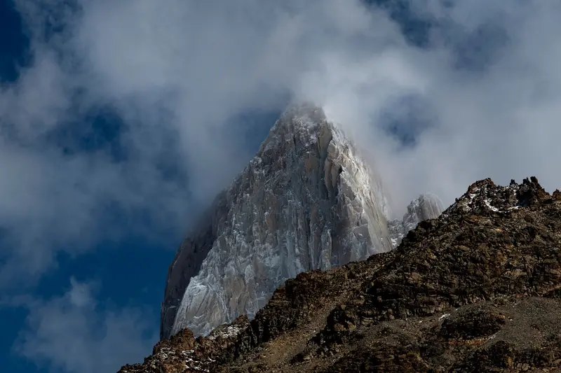
El Chaltén was only founded in 1985, partly to secure territorial claims in the border region then disputed with Chile, and is today, by law, the "National Trekking Capital". This small village with hostels, breweries, and gear shops is located in the northern part of the Parque Nacional Los Glaciares, directly beneath the Fitz Roy massif, and the hiking trails start at the edge of town.The best-known day hike leads to Laguna de los Tres at the foot of Fitz Roy: approximately 20 to 24 kilometers round trip, eight to ten hours, with a very steep final ascent over loose rock. The trail to Laguna Torre beneath Cerro Torre is somewhat easier, at approximately 18 to 20 kilometers. For shorter excursions, the Mirador de los Cóndores above the village and Laguna Capri are suitable. The weather changes quickly: Bring wind and rain protection and turn back if wind or clouds increase on the final ascent.
Buenos Aires is Argentina's capital and, with over three million inhabitants in the city proper and many more in the greater metropolitan area, it is the country's political and cultural center. The city is located on the west bank of the Río de la Plata and is divided into 48 barrios, each with its own distinct character. Wide boulevards, Belle Époque architecture, traditional cafés, and a vibrant tango scene define its image.The historic center, with Plaza de Mayo, Casa Rosada, and the Cabildo, is located close to the river. South of it lies San Telmo, one of the oldest neighborhoods, with cobblestone streets, antique shops, and its Sunday market. Even further south, by the old port, is La Boca, with its brightly painted houses along Caminito and the La Bombonera stadium. To the north, you'll find elegant Recoleta with its famous cemetery and beyond that, Palermo, the largest barrio, with parks, boutiques, and the nightlife districts of Palermo Soho and Palermo Hollywood. Finally, by the water, lies Puerto Madero, the newest neighborhood in the converted docklands.
Buffer before return trip
6 Sights
3 Restaurants
Tango, Cafes and Football
Tango originated in the late 19th century in the port districts along the Río de la Plata and has been a UNESCO intangible cultural heritage since 2009. In Buenos Aires, you encounter it in two ways: as a show for visitors and in the Milongas, the dance evenings that the Porteños themselves attend. In San Telmo, couples also dance on the street on weekends.Football is equally influential. In La Boca stands La Bombonera, the stadium of Boca Juniors, where Diego Maradona became famous. And in the evenings, many restaurants only fill up from 9 PM onwards.