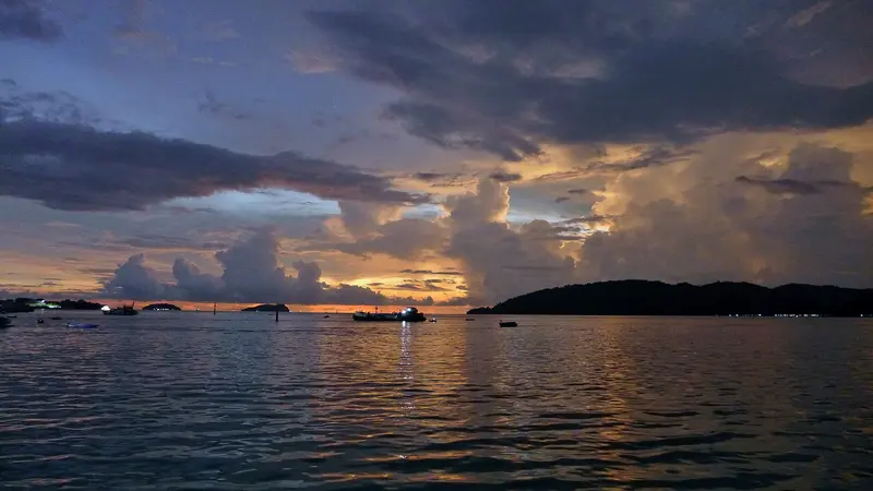
The route begins in Kuching, Sarawak, leading to the coastal Bako National Park. Next, a domestic flight of about an hour and a half takes you to Kota Kinabalu in Sabah, concluding on Gaya Island. You reach Bako from Kuching with Bus No. 1 in 45 to 60 minutes to the jetty, followed by a boat ride of approximately 20 minutes. Gaya Island is about 10 boat minutes from Kota Kinabalu.
15 Days / 14 Nights
March–September
4 stops
Why This Route?
For a first Borneo trip, combining rainforest, island time, and city culture without strenuous treks.
Hidden Gems
Kampung Boyan on the north bank of the Sarawak River in Kuching, accessible by Sampan ferry
Telok Pandan Kecil, a bay reached via a hiking trail in Bako National Park
Police Beach on the north coast of Gaya Island
Itinerary
Stop 1 • 3 Nights
Kuching
City
Rich in culture and history. Perfect for an exciting city trip and Culinary highlights.
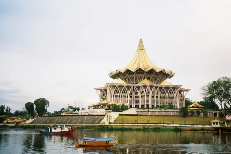
Kuching, the capital of the Malaysian state of Sarawak in western Borneo, is a compact city on the Sarawak River, featuring buildings from the White Rajahs era, Chinese shop houses, and a long waterfront promenade. It is the best starting point for orangutans, proboscis monkeys, and the national parks in western Borneo.In the city: Waterfront, Main Bazaar, Borneo Cultures Museum, Fort MargheritaExcursions: Bako National Park, orangutans at Semenggoh Wildlife Centre, Sarawak Cultural VillageTravel time: year-round; most rain falls from November to February
4 Sights
1 Restaurant
White Rajahs and Many Cultures
From 1841, Kuching served as the seat of the Brooke family, who ruled Sarawak as White Rajahs until 1946. Dating from this era are Fort Margherita (1879), the Astana on the north bank, now the Governor's residence, and the Old Court House on the waterfront.In the city, Malays, Chinese, Iban, Bidayuh, and other ethnic groups live side-by-side. Malay kampungs are found on the north bank, while Chinese temples and shophouses characterize the south bank. Celebrations include Gawai Dayak, the Dayak harvest festival on June 1st and 2nd, Chinese New Year, and Hari Raya Aidilfitri.
For adventure seekers. Perfect for unwinding and relaxation and Route highlight.
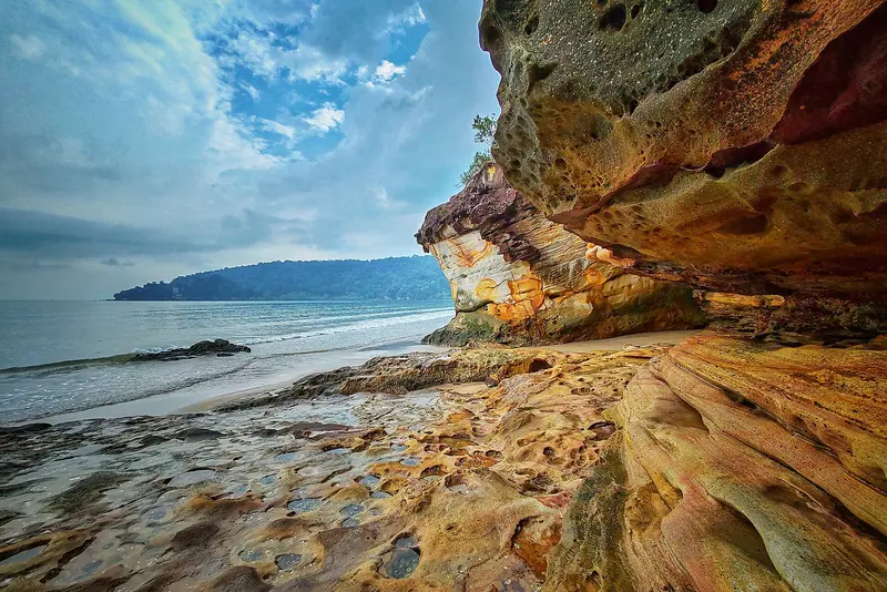
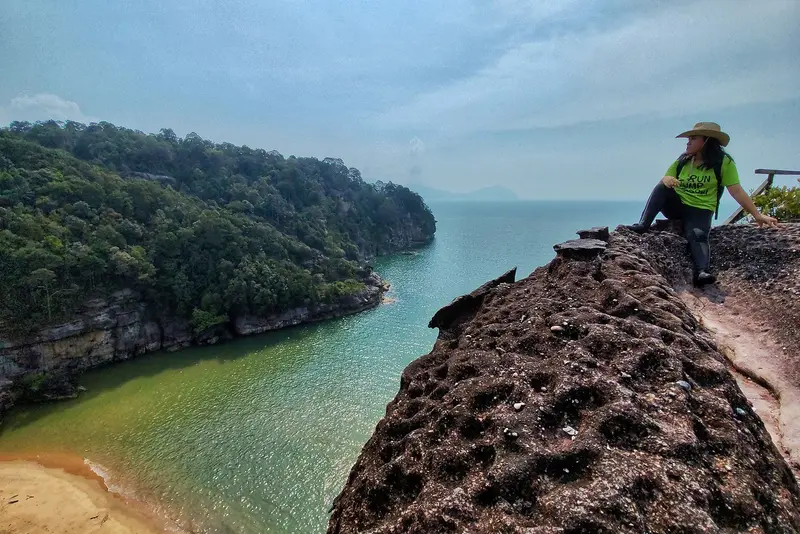
The Bako National Park, at the tip of a peninsula north of Kuching, is Sarawak's oldest and a manageable 27 square kilometers. On short hiking trails, you'll spot proboscis monkeys, bearded pigs, and pitcher plants; along the coast, sea-sculpted sandstone cliffs. All just over an hour's journey by bus and boat from Kuching.Tip: Most animals are active early mornings or late afternoonsEquipment: Sturdy shoes and at least two liters of water; paths can be steep and root-filledSwimming: Prohibited at beaches due to saltwater crocodiles and jellyfish
4 Sights
1 Restaurant
Our Story
Bako was designated Sarawak's first national park in 1957, during the colonial era. Today, it is managed by the Sarawak Forestry Corporation, where you can also book the simple accommodations at the park headquarters.
Perfect for an exciting city trip. Culinary highlights and Rich in culture and history.
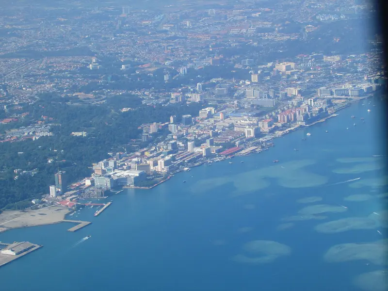
Kota Kinabalu, or KK for short, is the capital of Sabah and for most, the starting point on Borneo. The city itself is more practical than beautiful, but conveniently located: Off the coast lie the islands of Tunku Abdul Rahman Park, and inland is Mount Kinabalu. Evenings, the waterfront night market with grilled fish is a must; on Sunday mornings, explore the Gaya Street market. For sunset, head to Tanjung Aru or climb Signal Hill.
11 Sights
3 Restaurants
Stories and People
After an initial settlement on Pulau Gaya was destroyed in 1897, the British North Borneo Chartered Company founded Jesselton on the mainland in 1899, naming it after their Vice-President Sir Charles Jessel. Allied bombing raids almost completely destroyed the city in 1945; only three buildings remained standing. One of these is the Atkinson Clock Tower from 1905. In 1967, the state parliament decided to rename the city Kota Kinabalu, after Mount Kinabalu.KK is home to Kadazan-Dusun, Bajau, Murut, Chinese, Malay, and many immigrants from the Philippines. This diversity shapes its markets and cuisine. In late May, the Kadazan-Dusun celebrate Kaamatan, the harvest festival, with dances, traditional costumes, and rice wine. You can see traditional homes of these ethnic groups in the open-air section of the Sabah Museum.
Pulau Gaya is, at around 15 square kilometers, the largest of the five islands in Tunku Abdul Rahman Park and lies directly opposite Kota Kinabalu. A forested ridge, up to 300 meters high, stretches across the island, with bays featuring sandy beaches, mangroves, and coral reefs along its edges.Around 20 kilometers of marked trails lead through the forest, including a boardwalk through a mangrove swamp. For swimming and snorkeling, you head to Police Beach on the north side. You can stay overnight in three resorts. At the eastern tip, outside the park, are large stilt villages.
4 Sights
3 Restaurants
History and Inhabitants
Pulau Gaya housed the port and administrative post of the British North Borneo Chartered Company. On July 9, 1897, rebels under Mat Salleh burned the settlement down; it was never rebuilt. Two years later, Jesselton (now Kota Kinabalu) was founded on the mainland opposite. Since 1923, the island has been a forest reserve, and since 1974, it has belonged to the Tunku Abdul Rahman Park.The stilt villages on the east coast, such as Kampung Lok Urai, were mostly established from the 1970s onwards by immigrants from the southern Philippines. They are not officially recognized and lie outside the park boundaries.