Fernweh: Home
    ExploreTravel GuidesPlan a tripMy tripLast visited
    de|en
    All Places & RegionsAll highlightsAbout FernwehFAQPrivacy PolicyImprint
    ExploreTravel GuidesPlan a tripMy tripLast visited
    Ichkeul National Park
    TOUMOU / Wikimedia Commons / CC BY-SA 4.0

    Tunisia

    Ichkeul National Park

    Point of Interest

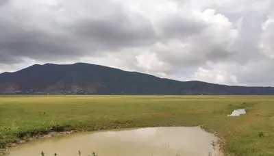
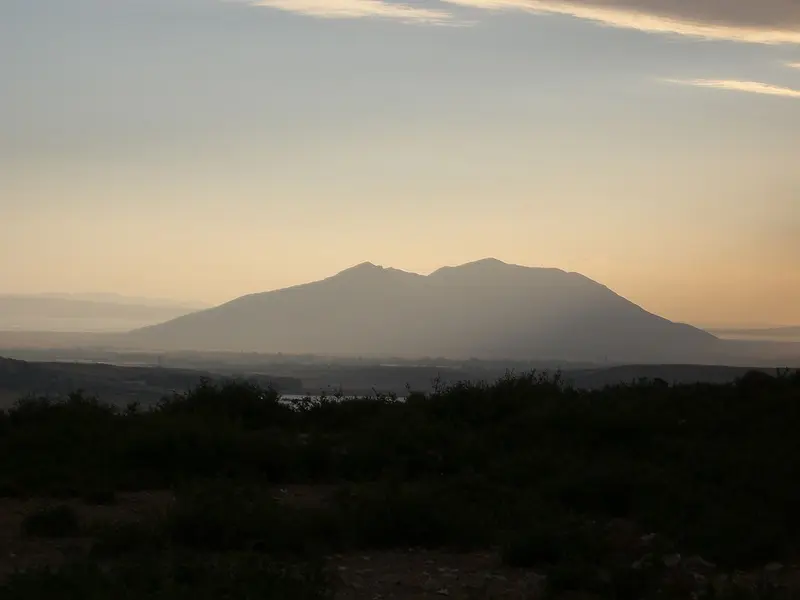
    The Ichkeul National Park, located some 25 kilometers southwest of Bizerte, protects a lake, extensive marshes, and the 510-meter-high Djebel Ichkeul.

    by Felix Gillen

    1. Home
    2. Destinations
    3. Tunisia
    4. Norden & Tell
    5. Ichkeul National Park
    The Ichkeul National Park, located some 25 kilometers southwest of Bizerte, protects a lake, extensive marshes, and the 510-meter-high Djebel Ichkeul. This wetland has been a UNESCO World Heritage site since 1980 and is an important stopover for migratory birds; you'll see most birds in winter.

    Sights in Ichkeul National Park

    Discover the most important sights and attractions

    Lake Ichkeul
    Natural Feature

    1Lake Ichkeul

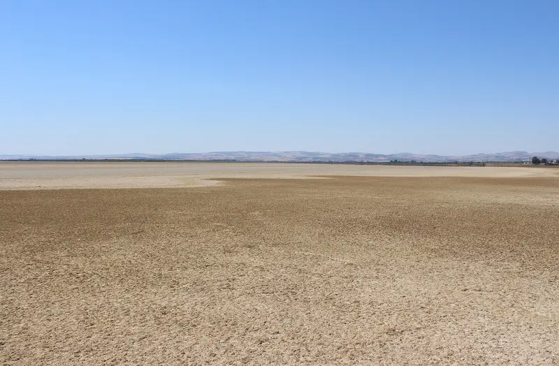
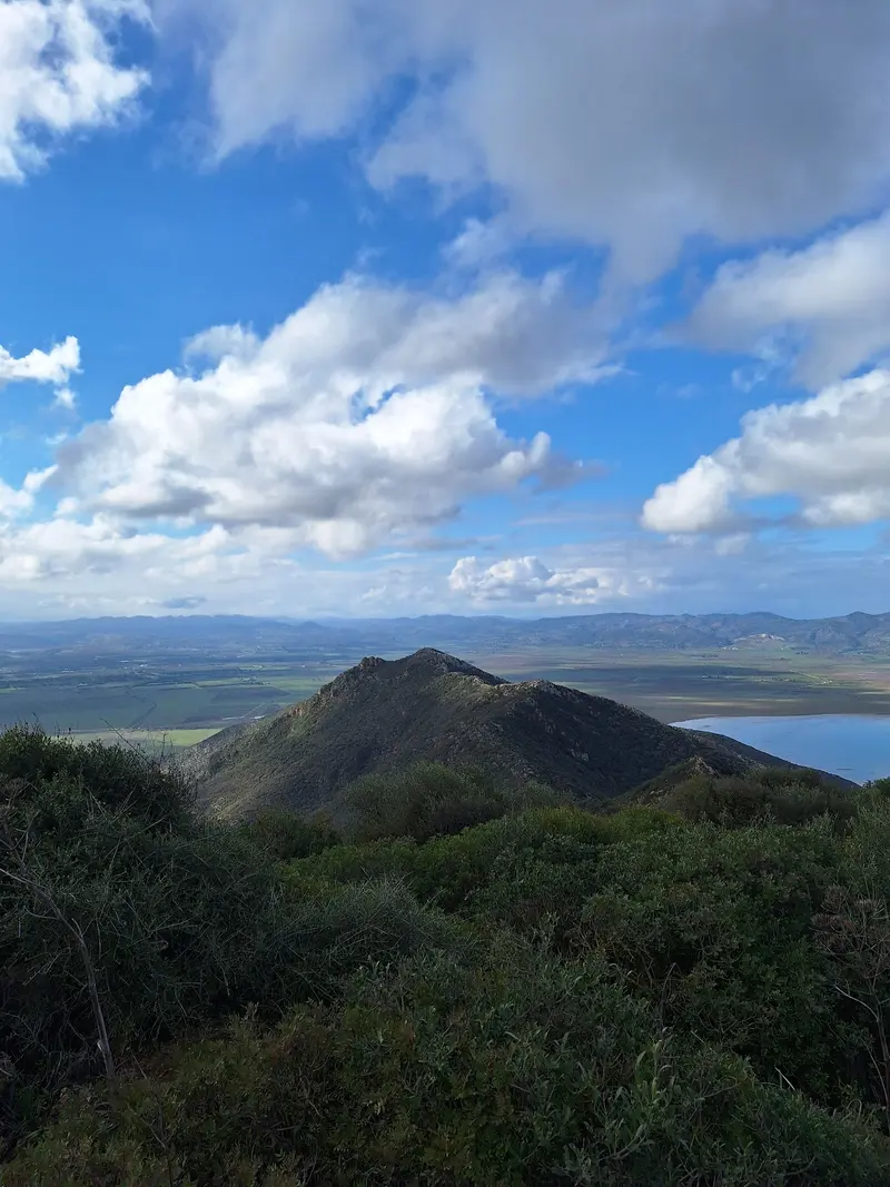
    The lake covers around 8,500 hectares and, with the adjoining marshes, forms the heart of the National Park. Ducks, geese, storks, and flamingos rest here; you'll see most birds in winter. Because dams have reduced the inflow of freshwater, the lake has become saltier.
    Open in Google Maps
    Djebel Ichkeul
    Natural Feature

    2Djebel Ichkeul

    The 510-meter-high mountain rises south of the lake from the plain and is part of the National Park. On its slopes lies the small Eco-museum.
    Open in Google Maps
    Eco-museum

    3Eco-museum

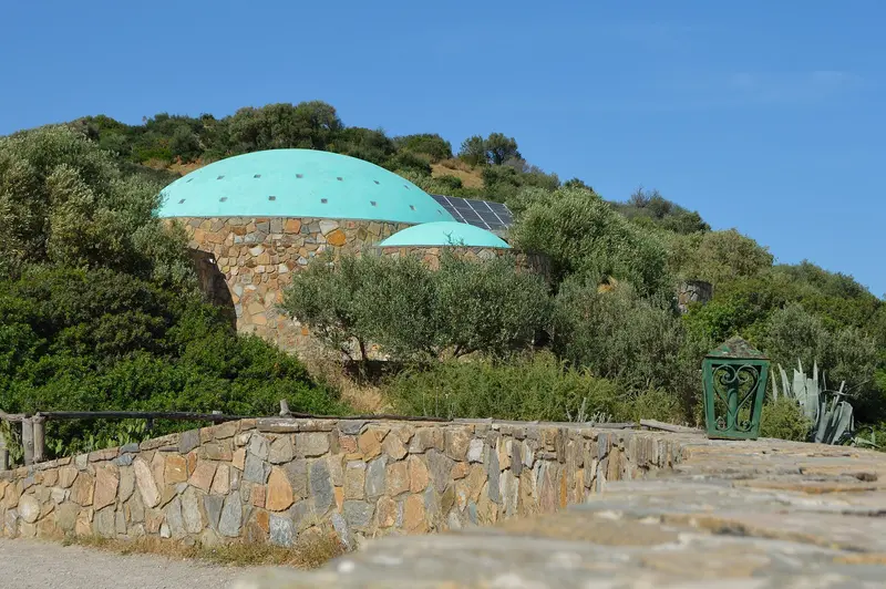
    The small eco-museum, set on a park hill, is free according to visitor reports. Closer to the lake is a wooden bird observation stand.
    Open in Google Maps

    Restaurants in Ichkeul National Park

    Nature & History

    World Heritage in Flux The park was established in 1980 and designated a UNESCO World Heritage site and Ramsar site in the same year; since 1977, it has been a Biosphere Reserve. From 1996 to 2006, it was on the Red List of World Heritage in Danger: dams on the tributaries had salinized the lake and displaced reed beds. Birds and Water Buffalo Species: 186 waterbird species have been counted in the park, including ducks, geese, storks, and flamingos Numbers: Migratory bird numbers decreased from 250,000 to around 130,000 annually, according to park management Best Time: winter, when most birds overwinter in the park Water Buffalo: introduced domestic buffalo live in the park Size The park covers approximately 12,600 hectares, including 8,500 hectares of lake and over 2,700 hectares of swamp.

    Getting Here & About

    Getting There From Bizerte: approximately 25 kilometers southwest, the nearest town is Mateur 15 kilometers south From Tunis: via the highway towards Bizerte, easiest by rental car or an organized tour Final Stretch: from the park entrance, a partly unpaved road leads up to the parking lot at the Eco-museum Permit Visits require a permit according to the park management (as of September 2025). The regional Commission for Agricultural Development (CRDA) in Bizerte issues the permit. Clarify this before your trip.

    Accommodations in Ichkeul National Park

    Find perfect stay in Ichkeul National Park

    Booking.com* (Affiliate link)
    Search Hotels
    Agoda* (Affiliate link)
    Search Hotels
    Airbnb
    Vacation Rentals

    * Affiliate link: if you book through it, we earn a small commission. The price stays the same for you.

    Nearby

    Bizerte

    Bizerte

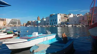
    Bizerte is considered the northernmost city in Africa, located approximately 60 km north of Tunis on the canal between the Mediterranean Sea and Lac de Bizerte. You come here for the Old Port with its fishing boats, the Medina, and the beaches along the Corniche. The port city has around 137,000 inhabitants. You can explore the Old Town, port, and Fort d'Espagne on foot; for Cap Angela and Ichkeul National Park, you'll need a car or taxi.
    Norden & Tell

    Norden & Tell

    Northern Tunisia, between Bizerte and the Algerian border, combines the Mediterranean coast with the Tell hill country west of Tunis. You come here for the Roman cities of Dougga and Bulla Regia, the port city of Bizerte, the rocky coast of Tabarka and Ichkeul National Park. Bizerte is about an hour's drive north of Tunis, Dougga about 1.5 to 2 hours west.
    Tunis

    Tunis

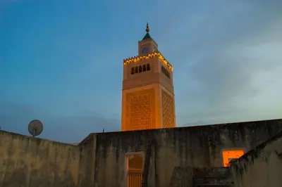
    Tunis, Tunisia's capital, lies on the Gulf of Tunis on the country's north coast. Its 698-founded Medina, with souks, mosques, and palaces, became a UNESCO World Heritage site in 1979. East of it, the colonial New Town with Avenue Habib Bourguiba adjoins; 4 km northwest is the Bardo National Museum with Roman mosaics. Tunis-Carthage International Airport is 8 km northeast; the TGM suburban train reaches Carthage and Sidi Bou Saïd in just over half an hour.
    Tunis & Carthage

    Tunis & Carthage

    The region Tunis & Carthage encompasses Tunisia's capital and its coastal suburbs on the Gulf of Tunis. Here, three UNESCO World Heritage Sites are close together: the Medina of Tunis, the Ruins of Carthage, and the blue-and-white village of Sidi Bou Saïd. Most travelers arrive at Tunis-Carthage Airport or by ferry at La Goulette port.
    La Marsa & Gammarth

    La Marsa & Gammarth

    La Marsa and the adjoining Gammarth to the north are Tunis's beach suburbs, located about 18 to 20 kilometers northeast of the capital on the Gulf of Tunis. In summer, Tunisians gather at the beach and around the Café Saf-Saf; in the evenings, life shifts to Gammarth's bars and clubs. La Marsa is the terminus of the TGM suburban train, coming from the city center via Carthage and Sidi Bou Saïd.

    Sources & method

    • Photos: Wikimedia Commons, Google Maps. Each photo carries its credit.
    • Place data such as addresses and ratings comes from Google Maps.
    • The content is based on web research from public, traceable sources. How the content is made · The role of AI