Fernweh: Home
    ExploreTravel GuidesPlan a tripMy tripLast visited
    de|en
    All Places & RegionsAll highlightsAbout FernwehFAQPrivacy PolicyImprint
    ExploreTravel GuidesPlan a tripMy tripLast visited
    Astromario / Wikimedia Commons / CC BY-SA 3.0

    Colombia

    Point of Interest

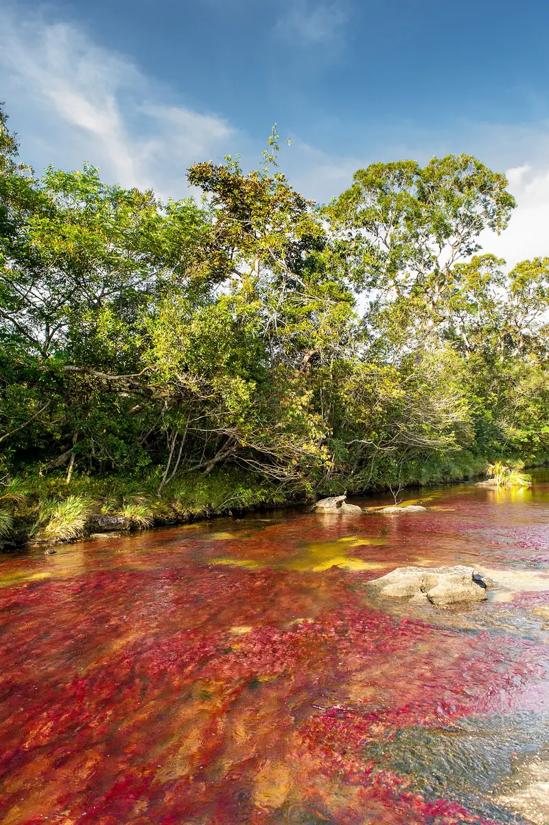
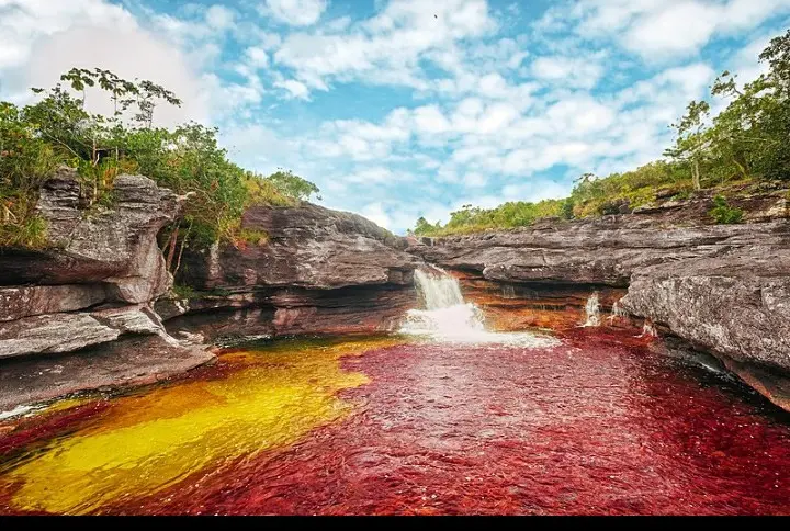
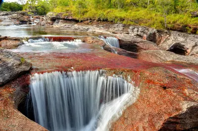
    Caño Cristales is a river in the Sierra de La Macarena National Park in the Meta Department, accessible by flight to La Macarena.

    by Felix Gillen

    1. Home
    2. Destinations
    3. Colombia
    4. Sierra de La Macarena
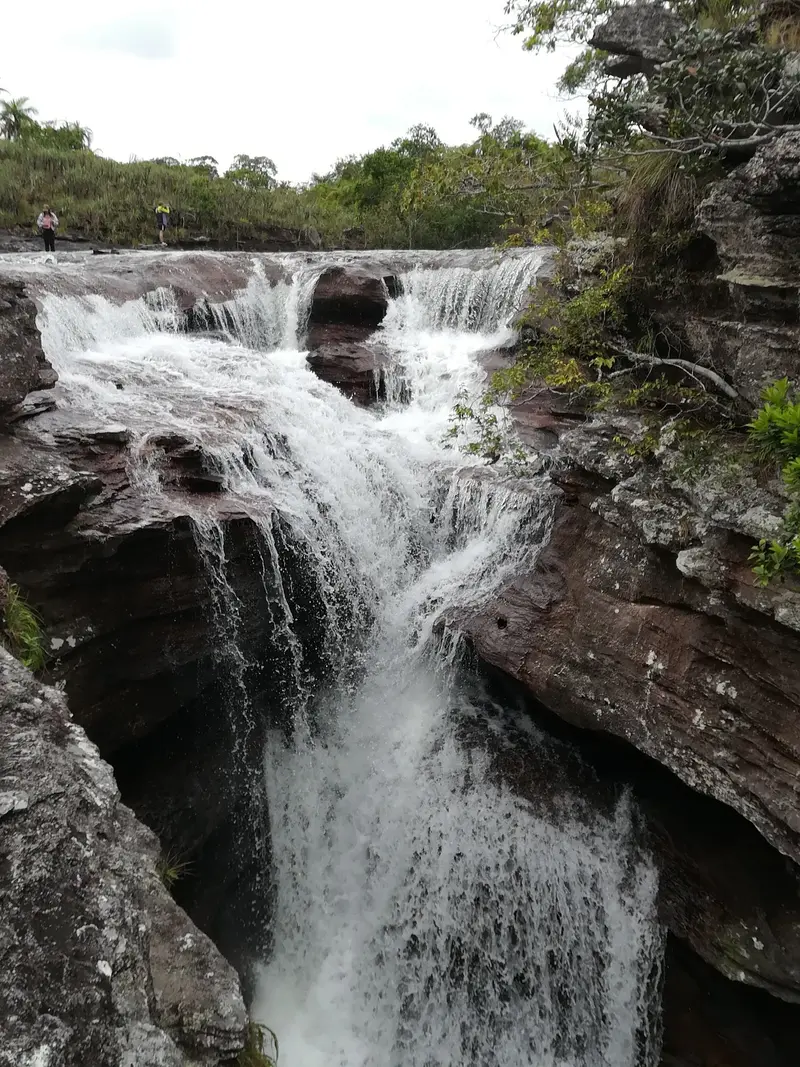
    Caño Cristales is a river in the Sierra de La Macarena National Park in the Meta Department, accessible by flight to La Macarena. Between June and November, the aquatic plant Macarenia clavigera dyes its bed red, complemented by green, yellow, and black hues. The river is a succession of rapids, cascades, and pools that flow into the Río Guayabero.

    Sights in

    Discover the most important sights and attractions
    Caño Cristalitos
    Attraction

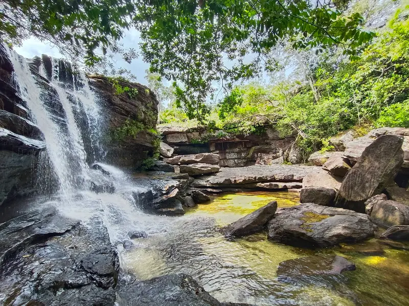
    1Caño Cristalitos

    Viewpoint en route to Mirador Cristalitos, overlooking the Serranía de La Macarena and Río Guayabero. The path also features rock paintings and Caño Cristalitos, a miniature Caño Cristales.
    Open in Google Maps
    Los Cuarzos
    Attraction

    2Los Cuarzos

    Section with cascades and deep, clear pools on Sendero Los Pianos, the shortest trail in the Caño Cristales Sector.
    Open in Google Maps
    Salto del Águila
    Point of Interest

    3Salto del Águila

    Waterfall on the Sendero Alto del Águila, the longest path in the Caño Cristales sector. The river here splits into several branches before plunging downwards.
    Open in Google Maps
    Raudal de Angosturas I
    Attraction

    4Raudal de Angosturas I

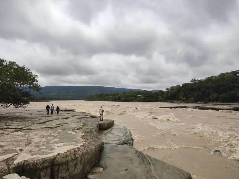
    Rapids of the Río Guayabero with petroglyphs and rock formations like the Ciudad de Piedra. In the dry season, the Cajón del Raudal is navigable by boat.
    Open in Google Maps

    Restaurants in

    Food & Drink at Caño Cristales

    Dining is in La Macarena, the gateway for tours to Caño Cristales. The cuisine is llanera, featuring fire-cooked meat, fish, and plantain.

    Plato macarenense

    A dish assembled by a traditional cook from La Macarena, inspired by the colors of Caño Cristales. It combines banana leaf, rice, savanna coriander, farmer's cheese, plantain, and avocado.

    Mamona

    Fire-roasted young beef on wooden skewers, seasoned only with salt. It is the signature dish of the Llanos.
    Creole chicken

    Creole chicken

    In La Macarena, boiled country chicken is a common meal alongside meat and fish. It’s served with plantain, fried or with Panela, and Pan de arroz.

    The Park Rules

    The colors depend on a sensitive plant, which is why strict rules apply. According to Parques Nacionales, the 2026 season runs from May 29 to December, with the most vibrant colors usually appearing from June to November.Mandatory Guide: No entry without an authorized guide. Book only through one of the approved agencies in La Macarena.Reservation: No entry permit without a reservation; daily quotas are limited. Agencies handle this, so book early.Briefing: Before entering, you must attend a briefing.Prohibitions: No sunscreen, no insect repellent, no make-up, no single-use bottles. Swimming only in designated areas.Vaccination: Parques Nacionales recommends yellow fever vaccination before your visit.

    Travel & Exploring

    Flight to La Macarena: Satena flies Mondays and Fridays from Villavicencio, and in the 2026 season until November 15th, additionally three times a week direct from Bogotá. Packages from Bogotá or Villavicencio usually include flight, accommodation, meals, and a guide.Boat: From Puerto Inderena in La Macarena, boats travel on the Río Guayabero, followed by an SUV transfer to the trailheads.Hiking: The trails are 5 to 10 km long and take 5 to 7 hours, with moderate to high difficulty.

    Accommodations in

    Find perfect stay in

    Booking.com* (Affiliate link)
    Search Hotels
    Agoda* (Affiliate link)
    Search Hotels
    Airbnb
    Vacation Rentals

    * Affiliate link: if you book through it, we earn a small commission. The price stays the same for you.
    Nearby

    Sierra de La Macarena

    Sierra de La Macarena

    The Sierra de La Macarena is a mountain range in the Meta Department, south of Villavicencio, where the Andes, Orinoco savannas, and Amazon meet. It is known for Caño Cristales, a river that a water plant colors red during the rainy season. The starting point is the small town of La Macarena, which you reach by flight.
    Desierto de la Tatacoa

    Desierto de la Tatacoa

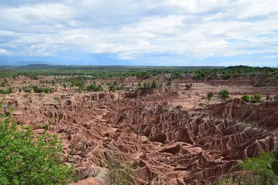
    The Tatacoa Desert is a dry landscape in the north of the Departamento Huila near Villavieja, about 38 km from the capital Neiva. You come here for red and gray erosion labyrinths, for fossils, and for the starry sky that observatories explain at night. Technically, it is a tropical dry forest spanning about 330 km², making it Colombia's second-largest dry zone after La Guajira. Check the current UK FCDO travel advice before your trip. Before traveling, check the current travel and security advisories.
    Huila

    Huila

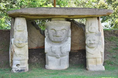
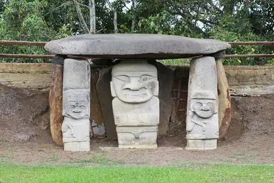
    The Huila Department is located in the upper valley of the Magdalena River in southern Colombia. You travel here for two destinations: the stone figures of San Agustín, a UNESCO World Heritage site since 1995, and the dry landscape of Tatacoa near Neiva.
    Bogotá

    Bogotá

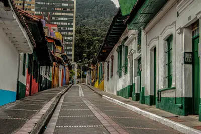
    Bogotá is the capital of Colombia and lies at 2,640 meters in the Andes. You come for the Gold Museum, the colonial streets of La Candelaria, and the views from its iconic mountain, Monserrate. With around eight million inhabitants, the city, founded in 1538, is large and diverse: Chapinero and Zona T are the districts for restaurants and nightlife.
    San Agustín

    San Agustín

    San Agustín is a small town in the south of the Huila Department, near the source of the Río Magdalena. You travel here for the Archaeological Park with its stone statues, a UNESCO World Heritage site since 1995, and for the Estrecho del Magdalena canyon. The park lies approximately 2 km from the town at an elevation of about 1,730 m. Check the current UK FCDO travel advice before your trip.

    Sources & method

    • Photos: Wikimedia Commons, Google Maps. Each photo carries its credit.
    • Place data such as addresses and ratings comes from Google Maps.
    • The content is based on web research from public, traceable sources. How the content is made · The role of AI