Fernweh: Home
    ExploreTravel GuidesPlan a tripMy tripLast visited
    de|en
    All Places & RegionsAll highlightsAbout FernwehFAQPrivacy PolicyImprint
    ExploreTravel GuidesPlan a tripMy tripLast visited
    Desierto de la Tatacoa
    SergiXCX / Wikimedia Commons / CC BY-SA 4.0

    Colombia

    Desierto de la Tatacoa

    Point of Interest

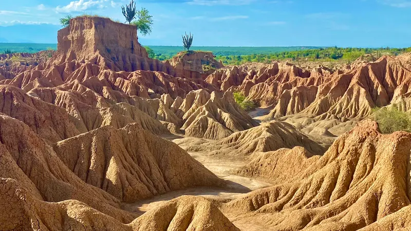
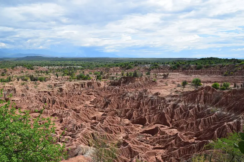
    The Tatacoa Desert is a dry landscape in the north of the Departamento Huila near Villavieja, about 38 km from the capital Neiva.

    by Felix Gillen

    1. Home
    2. Destinations
    3. Colombia
    4. Huila
    5. Desierto de la Tatacoa
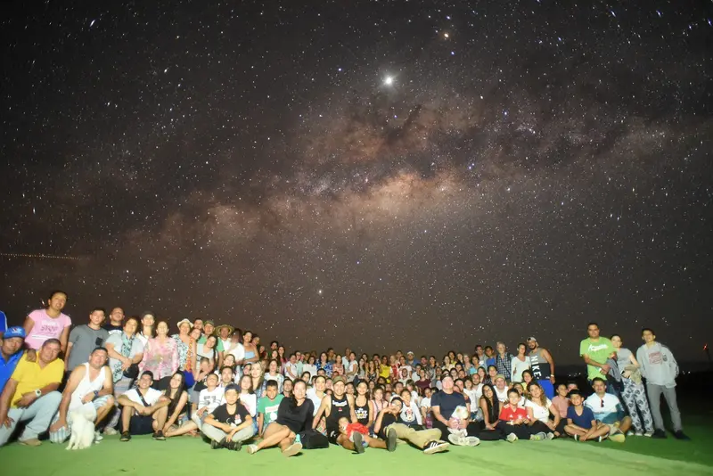
    The Tatacoa Desert is a dry landscape in the north of the Departamento Huila near Villavieja, about 38 km from the capital Neiva. You come here for red and gray erosion labyrinths, for fossils, and for the starry sky that observatories explain at night. Technically, it is a tropical dry forest spanning about 330 km², making it Colombia's second-largest dry zone after La Guajira. Check the current UK FCDO travel advice before your trip. Before traveling, check the current travel and security advisories.

    Sights in Desierto de la Tatacoa

    Discover the most important sights and attractions
    Los Hoyos
    Restaurant

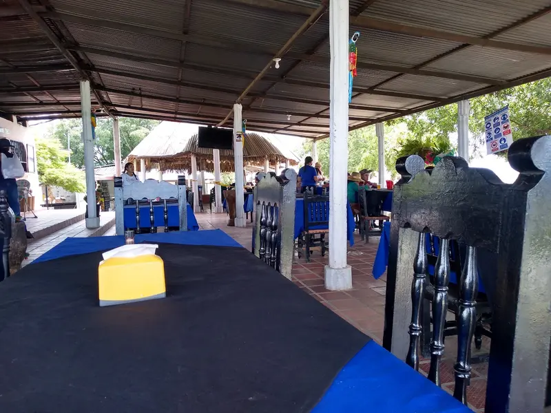
    1Los Hoyos

    The gray part of the desert is about 30 minutes from El Cuzco and includes the Valle de los Fantasmas.
    Open in Google Maps
    Paleontological Museum of Villavieja
    Museum

    2Paleontological Museum of Villavieja

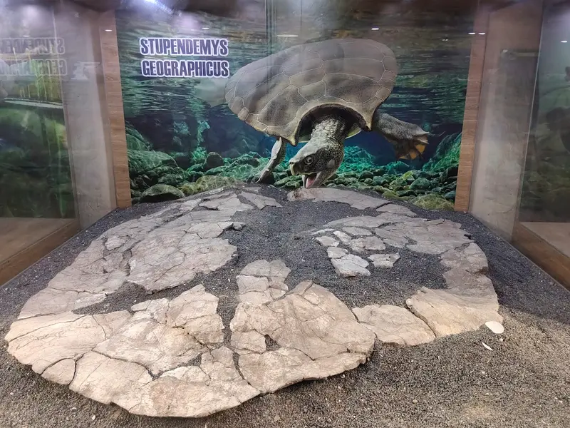
    The museum in Villavieja displays fossils from the Tatacoa that are millions of years old.
    Open in Google Maps
    El Cusco
    Point of Interest

    3El Cusco

    Red erosion labyrinths about 4 kilometers from Villavieja, below a viewpoint. They form the reddish part of the desert, in contrast to the grey formations of Los Hoyos.
    Open in Google Maps
    Astrosur Observatory
    Attraction

    4Astrosur Observatory

    Private observatory near Mirador El Cusco, led by astronomer Javier Fernando Rúa, who has been observing in Tatacoa since 1997. Visitors look through several telescopes; evening lectures are in Spanish.
    Open in Google Maps

    Restaurants in Desierto de la Tatacoa

    Food & Drink in the Tatacoa Desert

    In the dry zone around Villavieja, families process cactus pulp into sweets. Additionally, Huila's cuisine is noteworthy.

    Cactus candies

    A family in the middle of the desert makes sweets from the pulp of the cactus locally known as Cabecinegro, such as candied cubes and blends with coffee, cocoa, or mango. Most customers are visitors to Tatacoa.

    Beer from Cactus

    In the heart of Villavieja, La Planta serves a cactus-based beer. They also offer coffee.

    Asado huilense

    Huila's most famous dish: Pork, long marinated and cooked in a clay oven. It comes with Insulso, Arepa, and Yuca.

    Valley of Sadness

    In 1538, the conquistador Gonzalo Jiménez de Quesada named the region the “Valley of Sadness.” The name Tatacoa is attributed to the rattlesnake.The Museo Paleontológico in Villavieja displays fossils from Tatacoa that are millions of years old.

    Getting There and Around

    To Neiva: Flight from Bogotá in about 1 hour, or 5 to 6 hours by road.Neiva to Villavieja: Shared jeeps and buses from Neiva bus terminal, about one hour on paved roads. Jeeps depart when full.Villavieja to Tatacoa: Mototaxi or taxi, around 15 minutes.Time of Day: Temperatures often exceed 40 °C; early morning and late afternoon are best for hikes.Check the current UK FCDO travel advice before your trip.

    Accommodations in Desierto de la Tatacoa

    Find perfect stay in Desierto de la Tatacoa

    Booking.com* (Affiliate link)
    Search Hotels
    Agoda* (Affiliate link)
    Search Hotels
    Airbnb
    Vacation Rentals

    * Affiliate link: if you book through it, we earn a small commission. The price stays the same for you.
    Nearby

    Huila

    Huila

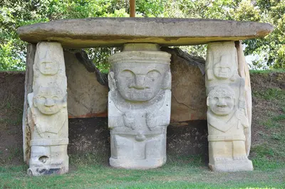
    The Huila Department is located in the upper valley of the Magdalena River in southern Colombia. You travel here for two destinations: the stone figures of San Agustín, a UNESCO World Heritage site since 1995, and the dry landscape of Tatacoa near Neiva.
    Sierra de La Macarena

    Sierra de La Macarena

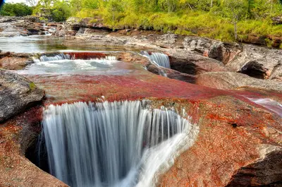
    The Sierra de La Macarena is a mountain range in the Meta Department, south of Villavicencio, where the Andes, Orinoco savannas, and Amazon meet. It is known for Caño Cristales, a river that a water plant colors red during the rainy season. The starting point is the small town of La Macarena, which you reach by flight.
    Cali

    Cali

    Cali, with around 2.3 million inhabitants, is the largest city in southwestern Colombia and is known as the capital of Salsa. You come here for dancing, for the Valle del Cauca cuisine, and for the view from Cristo Rey. Worth seeing are the colonial quarter San Antonio, the Granada restaurant district, and the Bulevar del Río in the center.
    Cali & Popayán

    Cali & Popayán

    Colombia's southwest connects two very different cities: Cali in Valle del Cauca is considered the capital of Salsa, Popayán in Departamento Cauca the country's white colonial city. You travel here for dance nights in Salsotecas, for whitewashed old town alleys and for the cuisine of Cauca. Both cities are located approximately 140 road kilometers apart.
    Valle de Cocora

    Valle de Cocora

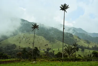
    The Valle de Cocora is a high valley (1,800-2,400 m) in Departamento Quindío's coffee region, north of Salento, roughly 20-30 minutes by jeep from the village. You go for the Quindío wax palms, which stand in great numbers on the pastures here. The valley lies within the influence area of Los Nevados National Park, at the headwaters of the Río Quindío.

    Sources & method

    • Photos: Wikimedia Commons, Google Maps. Each photo carries its credit.
    • Place data such as addresses and ratings comes from Google Maps.
    • The content is based on web research from public, traceable sources. How the content is made · The role of AI