Fernweh: Home
    ExploreTravel GuidesPlan a tripMy tripLast visited
    de|en
    All Places & RegionsAll highlightsAbout FernwehFAQPrivacy PolicyImprint
    ExploreTravel GuidesPlan a tripMy tripLast visited

    Colombia

    Point of Interest

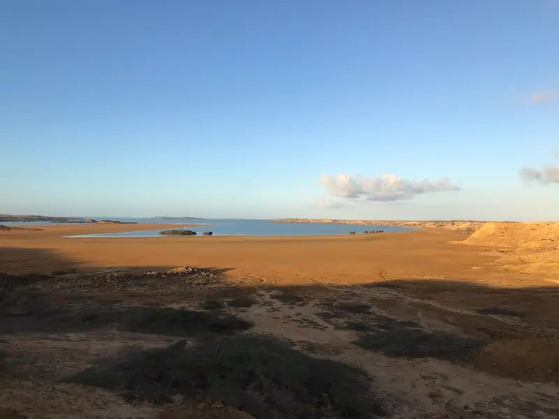
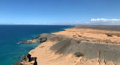
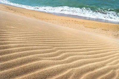
    Punta Gallinas is the northernmost point of the South American mainland, at the tip of the La Guajira Peninsula. You come for the Taroa dunes, which drop directly into the Caribbean Sea, and for the remoteness of the desert coast.

    by Felix Gillen

    1. Home
    2. Destinations
    3. Colombia
    4. La Guajira
    Punta Gallinas is the northernmost point of the South American mainland, at the tip of the La Guajira Peninsula. You come for the Taroa dunes, which drop directly into the Caribbean Sea, and for the remoteness of the desert coast. Access is practically only possible with an SUV tour.

    Sights in

    Discover the most important sights and attractions

    Faro de Punta Gallinas
    Historic Landmark

    1Faro de Punta Gallinas

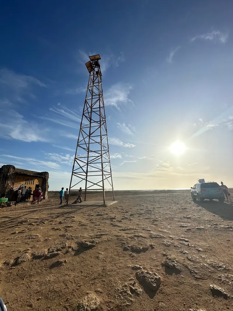
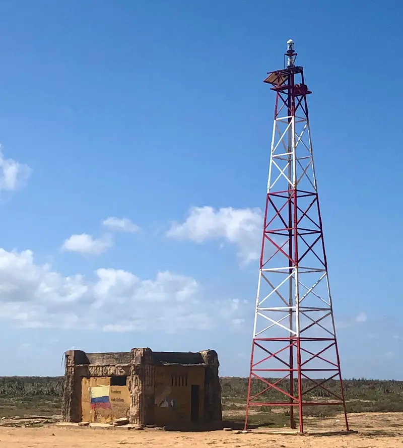
    The lighthouse marks South America's northernmost point. Visitors place stones on the cairns here.
    Open in Google Maps
    Hondita Bay Pier
    Point of Interest

    2Hondita Bay Pier

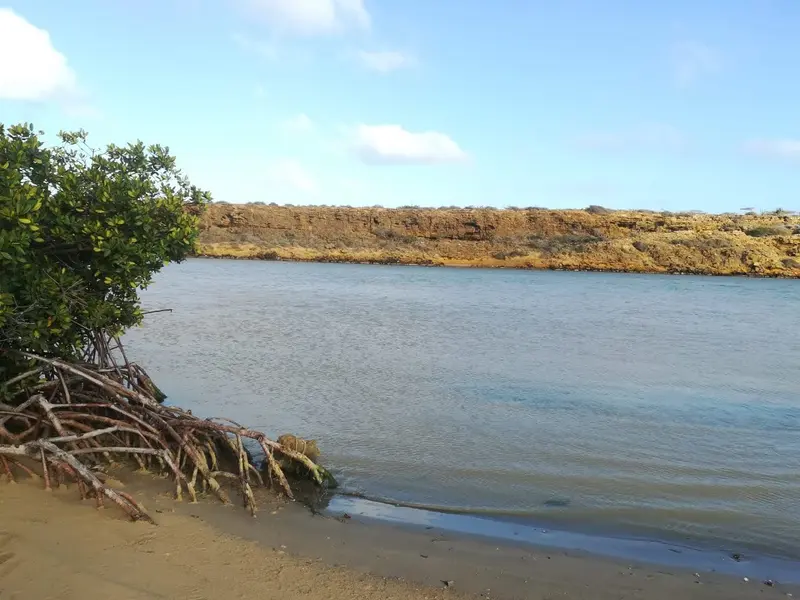
    The small cove is the gateway to Punta Gallinas, surrounded by orange cliffs. From here, small boats depart for the wild flamingos.
    Open in Google Maps
    Mirador de Casares
    Point of Interest

    3Mirador de Casares

    Viewpoint on a ridge above Bahía Hondita with views of turquoise waters and ochre cliffs. The accommodations offer afternoon boat trips to an island where flamingos gather.
    Open in Google Maps

    Restaurants in

    Food & Drink in Punta Gallinas

    At South America's northernmost point, you'll find no restaurants. Eat with the few Wayuu families who also run accommodations. Many tours include meals; otherwise, pay locally.

    Dining in the Ranchería

    Wayuu hosts prepare breakfast and dinner in their accommodations; guests stay in hammocks or simple huts. If meals are not included in the tour price, it's best to order them upon arrival.

    Friche and Chivo

    Goat is the foundation of Wayuu cuisine, served as Friche made from meat and offal, or stewed as Chivo guisado. It is considered the typical dish of La Guajira.

    Chirrinchi

    Self-distilled sugarcane spirit, closely tied to Wayuu traditions. It is produced in small quantities.

    Accommodation and Services

    Accommodation is in simple rancherías, in hammocks, chinchorros, or private rooms. Electricity is generated by solar panels during the day and by a generator in the evening.Meals typically consist of fish, chicken, or goat with rice and patacones. Lobster is available for an additional charge.

    Travel

    Tour from Riohacha: the usual option. 3-day tours connect Cabo de la Vela and Punta Gallinas, 4-day tours include Macuira National Park.From Cabo de la Vela: Local drivers' 4x4s depart around 5 AM; the journey takes several hours depending on the track.Travel Time: Avoid October and November, as the tracks are muddy due to rain then.

    Accommodations in

    Find perfect stay in

    Booking.com* (Affiliate link)
    Search Hotels
    Agoda* (Affiliate link)
    Search Hotels
    Airbnb
    Vacation Rentals

    * Affiliate link: if you book through it, we earn a small commission. The price stays the same for you.
    Nearby

    Cabo de la Vela is a Wayuu fishing village on the La Guajira peninsula, three hours overland from Riohacha. You come for the desert by the sea, the viewpoint Pilón de Azúcar, sunsets at the lighthouse, and year-round kitesurfing. You stay in simple posadas and hammocks.
    La Guajira

    La Guajira

    La Guajira is the desert peninsula in the far northeast of Colombia on the border with Venezuela. You travel here for Cabo de la Vela, the dunes of Punta Gallinas at South America's northernmost point, and the Wayuu culture. The starting point is Riohacha, the capital of the department.
    Palomino

    Palomino

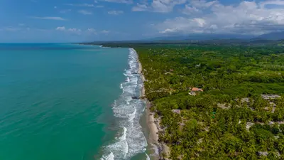
    Palomino is a small coastal town on the Caribbean coast, about 90 minutes to 2 hours east of Santa Marta, already within the La Guajira Department. Here you can enjoy tubing on the Río Palomino, discover waterfalls in the hinterland, and relax on a long, wild palm-fringed beach. The town has around 2,500 inhabitants and numerous hostels.
    Santa Marta & Sierra Nevada

    Santa Marta & Sierra Nevada

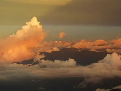
    The region around Santa Marta connects the Caribbean coast with the Sierra Nevada de Santa Marta, whose highest peak is only about 42 kilometers from the sea. You travel here for the bays of Tayrona National Park, the mountain village of Minca, the trek to Ciudad Perdida, and the beach town of Palomino. Santa Marta is the starting point for all these destinations.
    Parque Nacional Natural Tayrona

    Parque Nacional Natural Tayrona

    Tayrona National Park is located about 34 kilometers east of Santa Marta, where the Sierra Nevada directly meets the Caribbean Sea. You come for bays between granite cliffs and rainforest, for hiking trails to Cabo San Juan and the ruins of Pueblito. The park closes completely three times a year.

    Sources & method

    • Photos: Wikimedia Commons, Google Maps. Each photo carries its credit.
    • Place data such as addresses and ratings comes from Google Maps.
    • The content is based on web research from public, traceable sources. How the content is made · The role of AI