Fernweh: Home
    ExploreTravel GuidesPlan a tripMy tripLast visited
    de|en
    All Places & RegionsAll highlightsAbout FernwehFAQPrivacy PolicyImprint
    ExploreTravel GuidesPlan a tripMy tripLast visited
    • Overview
    • Places in the region
    • Food culture
    • Culture
    • Getting around
    • Nearby
    East Anatolia
    Vyacheslav Argenberg / Wikimedia Commons / CC BY 4.0

    Turkey

    East Anatolia

    Region

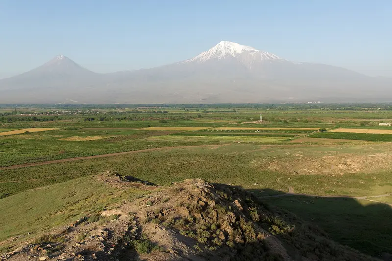
    East Anatolia is the highland region in the far east of Turkey, featuring the 5,137 m high Mount Ararat, Lake Van, and the ruins of Ani. The region lies at an average elevation of 2,200 m and is the highest-lying in the country.

    by Felix Gillen

    1. Home
    2. Destinations
    3. Turkey
    4. East Anatolia
    East Anatolia is the highland region in the far east of Turkey, featuring the 5,137 m high Mount Ararat, Lake Van, and the ruins of Ani. The region lies at an average elevation of 2,200 m and is the highest-lying in the country. Those who seek vast landscapes, Armenian churches, and Urartian castles will find them here.
    OverviewThe region covers approximately one-fifth of Turkey, from Erzurum and Kars in the north to Van and Hakkari in the south. Dominating the landscape is Mount Ararat, at 5,137 m the country's highest mountain, near the borders with Iran, Armenia, and Nakhchivan. Lake Van, covering around 3,755 km², is Turkey's largest lake.Travel SeasonThe continental climate brings long, very cold, and snowy winters and short summers. Summer is the best time for hiking and trips to the lake. In winter, the tourist Doğu Ekspresi train travels through the snow-covered landscape to Kars.What to ExpectKars and Ani: Imperial-era city and medieval Armenian capital, a UNESCO World Heritage site since 2016.Van: Akdamar Church in the lake, Urartian fortress, and the famous breakfast.The region borders Armenia, Iran, and Iraq. Before you travel, check the current travel advice from the UK Foreign, Commonwealth & Development Office (FCDO).
    Van

    Place 1 of 2

    Van

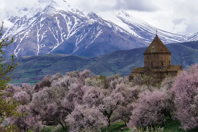
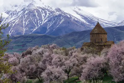
    Van lies at around 1,700 m on the eastern shore of Lake Van, Turkey's largest lake, in eastern Anatolia. The city is a starting point for the Akdamar Church, the Urartian Fortress, and the famous Van breakfast.

    Discover
    Kars & Ani

    Place 2 of 2

    Kars & Ani

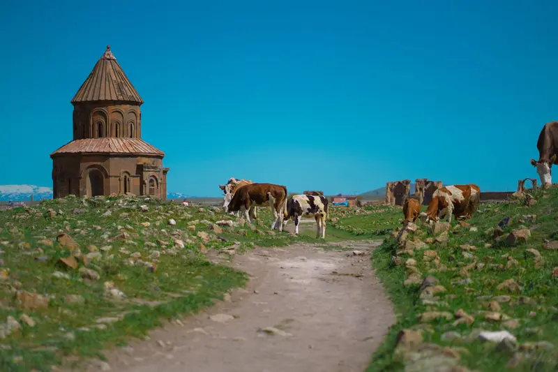
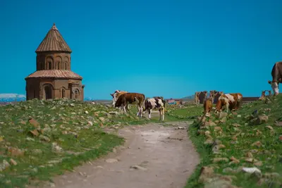
    Kars, situated at an altitude of 1,768 m in Turkey's far northeast, serves as the starting point for the ruined city of Ani, a UNESCO World Heritage site since 2016.

    Discover

    Food and Drink

    The Highland cuisine is hearty and rustic. Cheese, honey, and a lavish breakfast play the main role.

    Van Breakfast

    The Van Breakfast with herb cheese, Murtuğa, Kavut, and honey is protected as a geographical indication.

    Kars Kaşarı

    The cheese made from the milk of the high pastures carries a protected geographical indication.

    Kaz (Goose)

    In Kars, roasted goose with Bulgur pilaf is the classic winter specialty.

    Otlu Peynir

    The highland herb-spiced cheese is a staple at every breakfast in Van.

    Culture & History

    UrartuFrom approximately 900 BC, the Kingdom of Urartu emerged around Lake Van, with its capital Tuşpa, now known as Van. Fortresses such as Van and Çavuştepe date from this era.Armenian KingdomsIn the 10th century, Kars and Ani were capitals of the Bagratid dynasty, while the Artsruni reigned around Lake Van. The Ani Cathedral and the Church of the Holy Cross on Akdamar Island stem from this era.Between EmpiresSeljuks, Mongols, Ottomans, and Russians fiercely contested the highland region. Kars belonged to the Russian Tsarist Empire from 1878 to 1918, a legacy still visible in its Baltic-style architecture today.

    Arrival & Transit

    Getting ThereKars and Van airports have daily connections to Istanbul and Ankara. The scenic Doğu Ekspresi train runs in winter from Ankara via Erzincan and Erzurum to Kars.Getting AroundDistances are long; a rental car offers the most freedom. For Ani, it's best to book a taxi for the whole day; boats to Akdamar Church depart from the pier near Gevaş.TipIn winter, expect snow and temperatures well below zero. In Kars, the average low temperature in January is around minus 15 degrees.
    Nearby

    Kars & Ani

    Kars & Ani

    Kars, situated at an altitude of 1,768 m in Turkey's far northeast, serves as the starting point for the ruined city of Ani, a UNESCO World Heritage site since 2016. The city, with a population of over 90,000, features a blend of Armenian churches, a 12th-century castle, and streets dating back to the Tsarist era. Its Russian-influenced grid layout can be found in the districts of Yusufpaşa, Ortakapı, and Cumhuriyet, while the old town Kaleiçi lies beneath the castle.
    Van

    Van

    Van lies at around 1,700 m on the eastern shore of Lake Van, Turkey's largest lake, in eastern Anatolia. The city is a starting point for the Akdamar Church, the Urartian Fortress, and the famous Van breakfast. The city has over 500,000 residents, and its center, with the Breakfast Street, is in the Şerefiye quarter. The fortress rises a few kilometers west along the lakeshore.
    Trabzon

    Trabzon

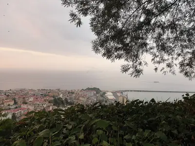
    Trabzon is the largest city on the eastern Black Sea coast and a starting point for the Sümela Monastery and the green valleys of the Pontic Mountains. The port city combines Byzantine heritage with vibrant Black Sea cuisine. The urban area has approximately 335,000 inhabitants; its center is Meydan Square in the Ortahisar district. The Hagia Sophia is located a few kilometers to the west, and the Boztepe viewpoint hill lies to the south, overlooking the city center.
    Mardin

    Mardin

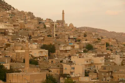
    Mardin, in southeastern Turkey, perches on a slope above the Mesopotamian Plain, famed for its south-facing stone old town. Madrasahs, mosques, and Syriac Orthodox monasteries speak of Artuqids, Akkoyunlu, and past Christian communities. With around 130,000 residents, its old town stretches below the citadel down the south slope, best explored on foot.
    Nemrut Dağı

    Nemrut Dağı

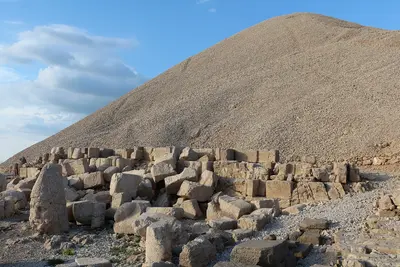
    Nemrut Dağı is a mountain in the Anti-Taurus range in Southeast Anatolia, on whose summit King Antiochus I of Commagene had his tomb-sanctuary with colossal statues of gods erected. Since 1987, it has been a UNESCO World Heritage site and is a popular destination, especially for sunrise and sunset. Starting points are Kahta and the village of Karadut at the foot of the mountain, about 85 km from Adıyaman.

    Sources & method

    • Photos: Wikimedia Commons. Each photo carries its credit.
    • The content is based on web research from public, traceable sources. How the content is made · The role of AI