Fernweh: Home
ExploreGuideDestinationsMy tripsMy trip
de|en
All Places & RegionsRound tripsNight trains in EuropeAll highlightsAbout FernwehFAQPrivacy PolicyImprint
Download on the App StoreGet it on Google Play
ExploreGuideDestinationsMy tripsMy trip
    • Places in the region
    • Culture
    • Getting around
    • Round trips
    • Nearby
    Sossusvlei and Namib-Naukluft Park

    Photo by Felipe Labate on Unsplash

    Namibia

    Sossusvlei and Namib-Naukluft Park

    Region

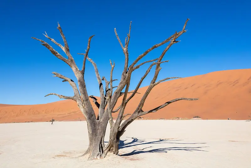
    The red dunes around the salt and clay pans of Sossusvlei and Deadvlei are Namibia's most famous motif.

    by Felix Gillen

    1. Home
    2. Destinations
    3. Namibia
    4. Sossusvlei and Namib-Naukluft Park
    The red dunes around the salt and clay pans of Sossusvlei and Deadvlei are Namibia's most famous motif. Located in the Namib-Naukluft Park, the country's largest protected area (49,768 km²), they form part of the Namib Sand Sea, a UNESCO World Heritage site since 2013. The starting point is Sesriem, about 5 hours southwest of Windhoek, from there, an asphalt road leads through the dune valley.
    Namibia travel guideSee the round tripPlan a trip with Sossusvlei and Namib-Naukluft Park

    Contents

    • Places in the region
    • Culture
    • Getting around
    • Round trips
    • Nearby

    Sights in Sossusvlei and Namib-Naukluft Park

    Discover the most important sights and attractions

    National Park

    Sossusvlei

    The salt and clay pan at the end of the dune valley gave the entire area its name. The final 5 km from the regular car park lead through deep sand; you'll need a 4WD or can take the shuttle.
    Open in Google Maps
    Deadvlei

    Diego Delso / Wikimedia Commons / CC BY-SA 4.0, mod.

    Park

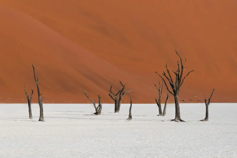
    Deadvlei

    White clay pan with camelthorn trees, dead for around 600 to 700 years, surrounded by red dunes. From the car park, you walk across the sand to reach it. The most beautiful light is in the early morning.
    Open in Google Maps
    Attraction

    Dune 45

    The dune is named for its location at Km 45 on the road from Sesriem to Dune Valley and is a fixed stop en route to Sossusvlei. Its reported height varies widely in sources.
    Open in Google Maps
    Point of Interest

    Sesriem Canyon

    The just over 1 km long and about 30 m deep gorge lies near the Sesriem park gate. Its name derives from the six leather thongs (“ses riem”) that were required to draw water from its depths.
    Open in Google Maps
    Natural Feature

    Big Daddy

    The dune directly at Deadvlei is one of the highest at Sossusvlei, with height estimates varying by source between 325m and around 360m. For the climb, you'll need fitness, water, and an early start.
    Open in Google Maps
    Park

    Elim Dune

    The dune is about 5 km from Sesriem, making it the closest. It's a popular sunset spot if you've already visited Sossusvlei during the day.
    Open in Google Maps

    Nature and Landscape

    Namib Sand SeaThe UNESCO inscribed the Namib Sand Sea as a World Heritage site in 2013, covering 3,077,700 ha. It is considered the world's only coastal desert with extensive dune fields shaped by fog.DeadvleiIn the white clay pan of Deadvlei stand camel thorn trees that died around 600 to 700 years ago, surrounded by red dunes like Big Daddy.NaukluftIn the mountainous part of the park, the Olive Trail (10 km, 4 to 5 hours) and the Waterkloof Trail (17 km, 6 to 7 hours) are available. For the multi-day Naukluft Trail, a medical certificate is required.

    Getting There and Tips

    Getting ThereSesriem is approx. 5 hours from Windhoek. From the Sesriem gate, an asphalt road runs ~60 km through the dune valley to the standard car park. The last 5 km to Sossusvlei/Deadvlei are deep sand: use a 4x4 or take the shuttle from the car park. Solitaire, a usual stop, is on the C14/C24 junction en route.Opening Hours and FeesThe outer gate opens at sunrise, closes at sunset; park accommodation guests can pass the inner gate one hour before sunrise, as per the booking office. Entry since April 2026 is N$ 280 per adult/day plus vehicle fee.TipsDepart as early as possible: colors are most vibrant in the morning, and summer temperatures rise above 40 °C after 10 AM.It's quieter in the afternoon, but only guests staying inside the park can stay for long.Elim Dune, near Sesriem, is a popular spot for sunset.

    Round trips through this region

    Namibia Classics Self-Drive: Dunes, Coast, and Etosha

    Namibia Classics Self-Drive: Dunes, Coast, and Etosha

    This classic self-drive circuit connects the dunes at Sossusvlei, the coastal town of Swakopmund, the rock landscapes of Damaraland, and wildlife viewing in Etosha National Park. Stages take 5 to 7 hours, with a large part on gravel roads. Driving times are based on Rough Guides and Viatu, without photo stops.

    11 Days
    5 stops

    Gu Bra·Pexels

    Nearby

    Walvis Bay

    Walvis Bay

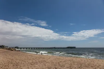
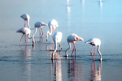
    The port city of Walvis Bay, south of Swakopmund, lies on a lagoon protected since 1995 as a Ramsar wetland, attracting tens of thousands of waterfowl, including large flamingo flocks. South of the city, the Namib begins; about 55 km away is Sandwich Harbour, where dunes drop directly into the sea.

    Nicola Toscan·Pexels

    Lüderitz and Kolmanskop

    Lüderitz and Kolmanskop

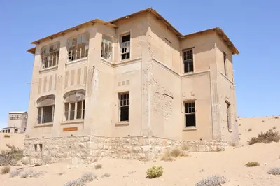
    Lüderitz lies on a rocky bay of the southern Atlantic coast. Felsenkirche and Goerke-Haus recall the colonial era, while Spectacled Penguins breed on Halifax Island off the coast. Just a few kilometers inland lies the abandoned diamond town Kolmanskop, which Marco Polo counts among the country's top highlights.

    Elina Emeleeva·Pexels

    Swakopmund

    Swakopmund

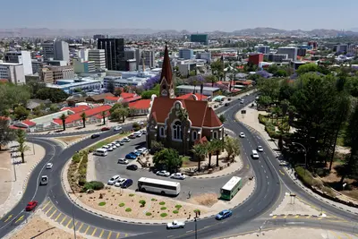
    Founded in 1892, Swakopmund on the Atlantic coast is Namibia's most German-influenced town, featuring a lighthouse, Woermannhaus, and old railway station. It lies approximately 350 km west of Windhoek, where the Namib Desert meets the sea, and serves as the main hub for dune activities. The cold Benguela Current brings cool temperatures and frequent morning fog.

    Jörg Hamel·Pexels

    Windhoek

    Windhoek

    Windhoek is the capital of Namibia and lies at about 1,650 m in the central highlands. Christ Church and Tintenpalast recall the German colonial era; the Independence Memorial Museum recounts Namibia's journey to independence. For most travelers, the city is the start and end of their tour, with rental car pickup and initial shopping.

    Gu Bra·Pexels

    Fish River Canyon and Ai-Ais

    Fish River Canyon and Ai-Ais

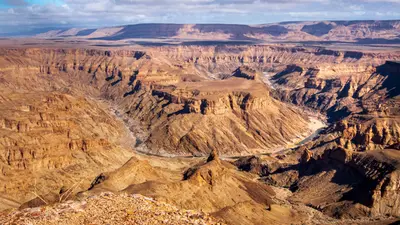
    The Fish River Canyon in the south is considered the second largest canyon in the world by the Ministry of Environment. From the main viewpoint near Hobas, you look down on the Hell's Bend river loop deep below, and at the southern end are the hot springs of Ai-Ais. The canyon belongs to the transboundary Ai-Ais/Richtersveld Park; from May to mid-September, the multi-day canyon hike is possible with a permit.

    Reto Wiezel·Pexels

    Your next steps

    Sossusvlei and Namib-Naukluft Park is in Namibia. Ways to carry on from here.

    • More in Namibia

      Highlights, areas, routes and the best time to travel for all of Namibia.

      Namibia travel guide
    • Round trips with Sossusvlei and Namib-Naukluft Park

      One route passes through Sossusvlei and Namib-Naukluft Park, with stops, nights and a map.

      See the round trip
    • Plan a trip with Sossusvlei and Namib-Naukluft Park

      The Guide asks about season, length and who is coming, and suggests a trip with Sossusvlei and Namib-Naukluft Park.

      Plan the trip
    Sources & method

    • Photos: Wikimedia Commons, Unsplash, Pexels. Each photo carries its credit.
    • Place data such as addresses and ratings comes from Google Maps.
    • The content is based on web research from public, traceable sources. How the content is made · The role of AI