Fernweh: Home
ExploreGuideDestinationsMy tripsMy trip
de|en
All Places & RegionsRound tripsNight trains in EuropeAll highlightsAbout FernwehFAQPrivacy PolicyImprint
Download on the App StoreGet it on Google Play
ExploreGuideDestinationsMy tripsMy trip
    • Places in the region
    • Culture
    • Getting around
    • Round trips
    • Nearby
    South

    Paulina Kruminaite / Wikimedia Commons / CC BY-SA 4.0, mod.

    La Réunion

    South

    Region

    The south of La Réunion stretches from Saint-Pierre, the region's largest town, via Petite-Île and Saint-Joseph to Saint-Philippe at the foot of Piton de la Fournaise.

    by Felix Gillen

    1. Home
    2. Destinations
    3. La Réunion
    4. South
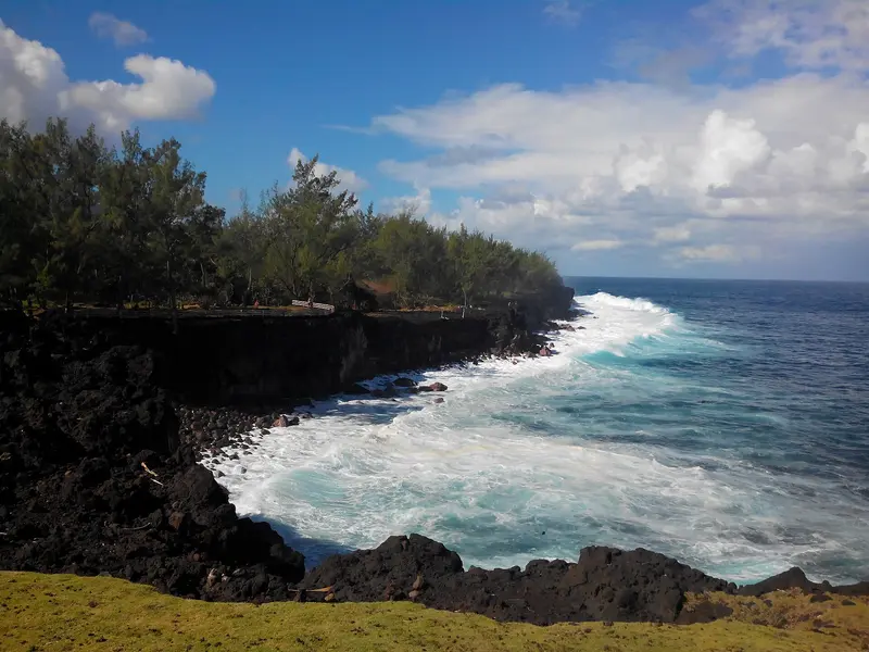
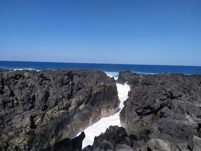
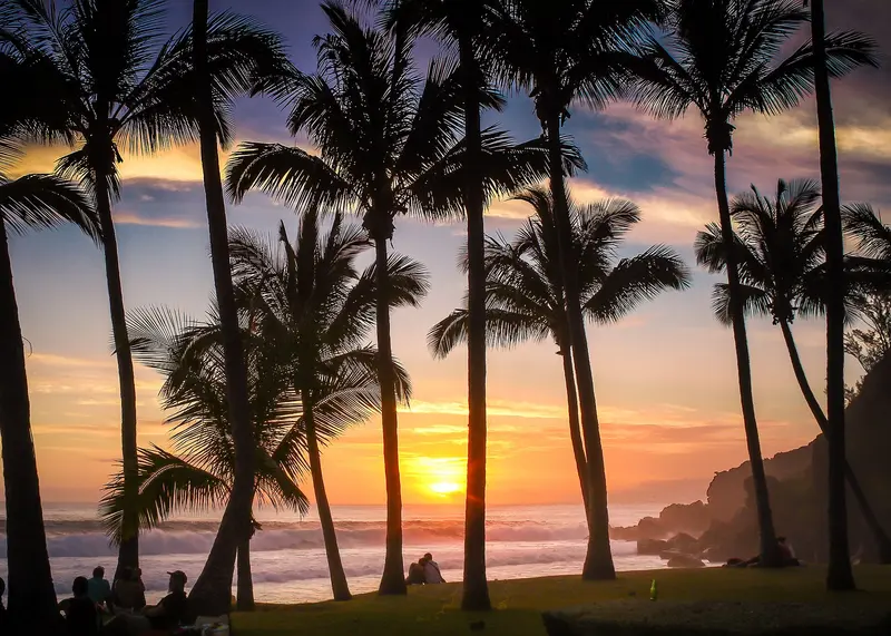
    The south of La Réunion stretches from Saint-Pierre, the region's largest town, via Petite-Île and Saint-Joseph to Saint-Philippe at the foot of Piton de la Fournaise. East of Saint-Pierre, the Sud sauvage, the wild south, begins with basalt cliffs, powerful surf, and lava flows.Saint-Pierre offers a supervised lagoon, one of the island's most famous markets, and the Saga du Rhum rum museum. Further east, you can swim in the rock pool of Grand Anse or in the pools of the Rivière Langevin, hike along Cap Méchant, and walk through Mare Longue, one of the last lowland rainforests of the Mascarenes.
    La Réunion travel guideSee the round tripPlan a trip with South

    Contents

    • Places in the region
    • Culture
    • Getting around
    • Round trips
    • Nearby
    Saint-Louis

    Clémenceau Lauret / Wikimedia Commons / CC BY 4.0, mod.
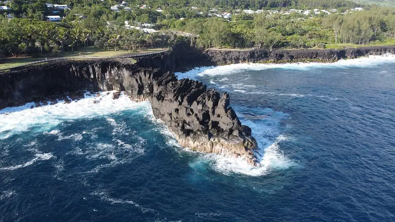
    Place 1 of 4

    Saint-Louis

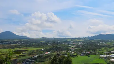
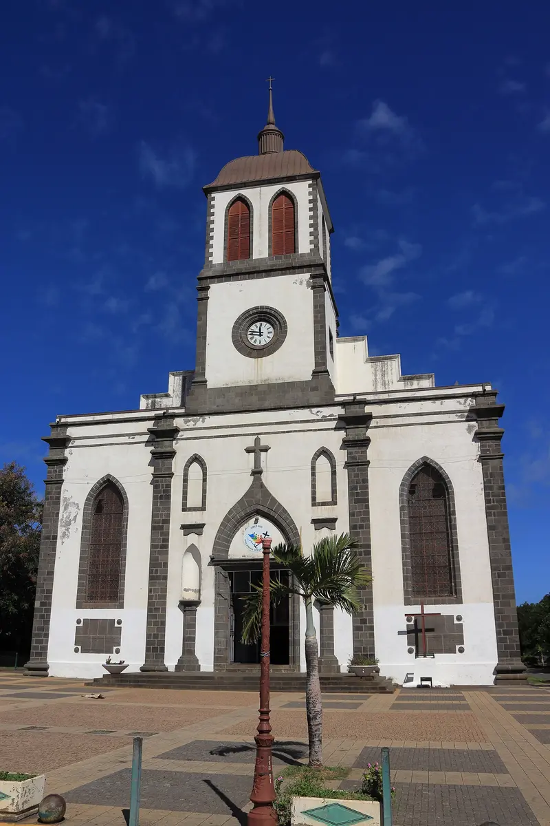
    Saint-Louis is a town on the south coast, west of Saint-Pierre, and the starting point of the road into the Cilaos cirque. You come here for the du Gol sugar factory, the island's largest church, and the Fenêtre des Makes viewpoint overlooking Cilaos.

    Discover
    Saint-Joseph and Wild South

    Froscha / Wikimedia Commons / CC BY-SA 4.0, mod.
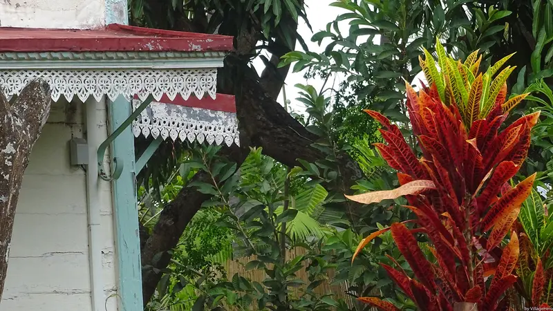
    Place 2 of 4

    Saint-Joseph and Wild South

    Saint-Joseph is a commune in the wild south, located between Saint-Pierre and Saint-Philippe, on the coast and the slopes of the volcano; National Road N2 runs through the area.

    Discover
    Entre-Deux

    “Old Creole House in Entre-Deux 2 (31439417221)” by VillageHero from Ulm, Germany / Wikimedia Commons / CC BY-SA 2.0, mod.
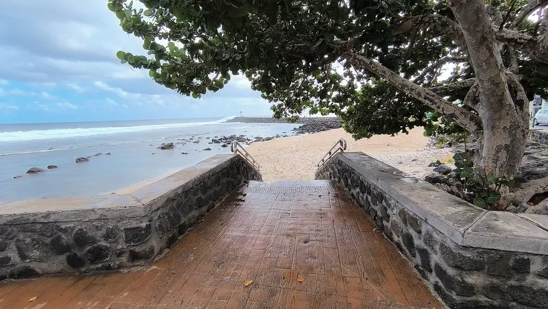
    Place 3 of 4

    Entre-Deux

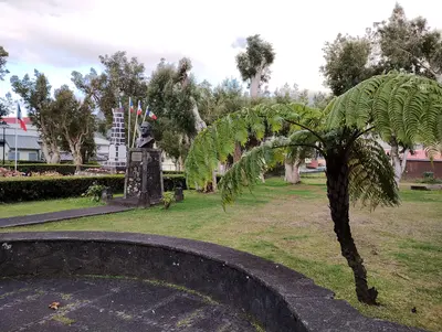
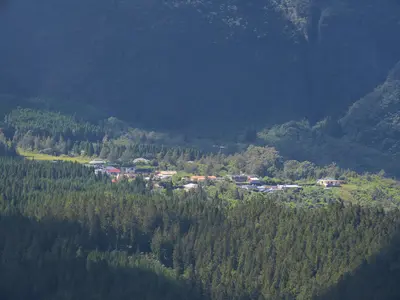
    Entre-Deux is a village in the Hauts north of Saint-Pierre, between the Bras de Cilaos and the Bras de la Plaine. You come here for the Creole wooden houses in the centre and for hikes up the Dimitile; from its summit, you gaze into the Cilaos cirque.

    Discover
    Saint-Pierre

    Clémenceau Lauret / Wikimedia Commons / CC BY-SA 4.0, mod.

    Place 4 of 4

    Saint-Pierre

    Saint-Pierre is the largest city in the south of La Réunion and is considered the capital of the south; in 2022, it had 85,254 inhabitants. It was founded in 1735, and the small Pierrefonds airport is located near the city.

    Discover

    More places in South

    Saint-Philippe

    Nikkyo974·CC BY-SA 4.0

    Saint-Philippe

    Saint-Philippe is the southeasternmost commune of La Réunion, between Saint-Joseph and the Grand Brûlé at the foot of Piton de la Fournaise. You come here for the rugged basalt coast at Cap Méchant, the seawater pool at Baril, and the lava platforms the volcano pushed into the sea.The commune was founded in 1830 and has 5,093 inhabitants (2022). It includes Le Baril, Basse-Vallée, Mare Longue, and Le Tremblet. Fishing, Vacoa weaving, and the cultivation of palm hearts shape daily life.

    Culture and History

    Capital of the SouthSaint-Pierre was founded in 1735 and has been the seat of a sub-prefecture since 1965. The town grew around its port, completed in 1883, and initially thrived on coffee, then sugarcane. The town hall is located in the former building of the Compagnie des Indes.Rum and SpicesThe Saga du Rhum is located in the heart of the Isautier distillery in Saint-Pierre. Farms in La Plaine des Grègues near Saint-Joseph cultivate turmeric. Typical products of the South include Victoria pineapples, lychees, mangoes, and Bourbon vanilla.World Heritage ForestThe Mare Longue Forest in Saint-Philippe grows on a lava flow. Since 1958, it has been a biological protected area, and since 2010, part of the UNESCO World Heritage site “Pitons, cirques et remparts”.

    Arrival and Getting Around

    From the AirportThe drive from Roland Garros to Saint-Pierre takes approximately 1.5 hours via the Route des Tamarins, without traffic. Car Jaune Line T travels from the airport via the west coast to Saint-Pierre in about two hours; express buses connect Saint-Denis with Saint-Pierre. Find schedules on carjaune.re.In the Wild SouthNational Road N2 connects Saint-Pierre with Saint-Joseph and Saint-Philippe. Grand Anse can be reached from Saint-Pierre in about 15 minutes by car; the car park fills up quickly on weekends and during school holidays. To Rivière Langevin, a signposted road branches off at the exit of Saint-Joseph towards Saint-Philippe.SwimmingThe open coast of the South usually lacks a protective reef. Only swim in the Saint-Pierre lagoon and in designated pools, and observe swimming prohibitions. Current safety advice is provided by the Foreign Office.

    Round trips through this region
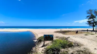
    La Réunion in 12 Days: Lagoon, Cirques and Volcano

    La Réunion in 12 Days: Lagoon, Cirques and Volcano

    This clockwise tour takes you around the island and into two of its three cirques. It begins with beach days on the west coast and the view from Maïdo to Mafate, ascends via the RN5 to Cilaos, connects Saint-Pierre with Piton de la Fournaise and the wild south, and ends after the east coast in Hell-Bourg in the Cirque de Salazie.

    12 Days
    5 stops

    Clémenceau Lauret·CC BY-SA 4.0

    Nearby

    Le Tampon and Plaine des Cafres

    Le Tampon and Plaine des Cafres

    Le Tampon is a town above Saint-Pierre, whose municipal area extends to the Plaine des Cafres and the Piton de la Fournaise. You drive here as a stopover on the Route du Volcan and for the view from the Belvédère de Bois Court of the village of Grand Bassin, which is only accessible on foot.The municipality has 81,964 inhabitants (2022). Its districts are partly named after the kilometer count from the sea, such as the Vingt-Troisième. On the high plateau lies Bourg-Murat with the Cité du Volcan and the volcano observatory.

    Rémih·CC BY-SA 4.0

    Piton de la Fournaise

    Piton de la Fournaise

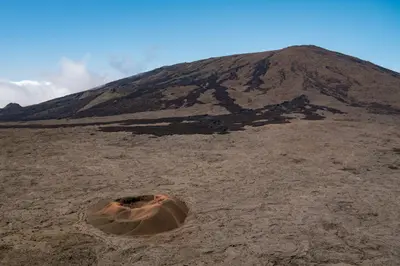
    Piton de la Fournaise is the active shield volcano in the southeast of La Réunion, 2,632 meters high and accessible via the Route du Volcan from Bourg-Murat in the highlands above Saint-Pierre. Since 1998, it erupts on average about twice a year, most recently from February to April 2026.The drive leads through heathland and the barren Plaine des Sables slag plain to the Pas de Bellecombe viewpoint. From there, you look into the Enclos Fouqué caldera and onto the summit cone. Those who start early can hike to the edge of the Cratère Dolomieu in clear visibility. The volcano belongs to the National Park and the UNESCO World Heritage site "Pitons, cirques et remparts."

    Oscar Brouchot·Unsplash

    La Plaine-des-Palmistes

    La Plaine-des-Palmistes

    La Plaine-des-Palmistes is a highland municipality situated at about 1,000 m on the Route des Plaines, between Saint-Benoît and Saint-Pierre, within the corridor separating Piton des Neiges and Piton de la Fournaise. From here, you can drive via the forest road into the Bébour and Bélouve forests. In 2023, the municipality had a population of 6,936.The town is named after the palm trees that once grew here; it has been an independent municipality since 1899. The climate is cool and very wet, with an average annual rainfall exceeding 4,000 mm.

    Pradigue·CC BY-SA 4.0

    L'Étang-Salé

    L'Étang-Salé

    L'Étang-Salé is a coastal community in the southwest of La Réunion, between Les Avirons and Saint-Louis. You come here for the black sand beach of L'Étang-Salé-les-Bains, the shady coastal forest, and the Gouffre, where the surf crashes into a rocky channel.The municipality, with 13,836 inhabitants (2021), consists of the seaside resort, the town center, and hamlets in the Hauts; its motto is „Entre mer et forêt“. At Bassin Pirogue, a reef protects a small lagoon area, while the open coast is exposed to strong surf.

    EmilieRaspail·CC BY-SA 4.0

    Bras-Sec

    Bras-Sec

    Bras-Sec is a predominantly agricultural Îlet in the northeast of the Cirque de Cilaos, 4.5 km from the main town. You come here if you want to experience tranquil mountain village life or set off for the Piton des Neiges; the Le Bloc hiking trailhead is located on the access road.A few hundred people live in the village; rock faces such as the Bonnet de Prêtre tower above Bras-Sec. The Sainte-Anne Church and a primary school stand in the village.

    Rémih·CC BY-SA 4.0

    Your next steps

    South is in La Réunion. Ways to carry on from here.

    • More in La Réunion

      Highlights, areas, routes and the best time to travel for all of La Réunion.

      La Réunion travel guide
    • Round trips with South

      One route passes through South, with stops, nights and a map.

      See the round trip
    • Plan a trip with South

      The Guide asks about season, length and who is coming, and suggests a trip with South.

      Plan the trip

    Sources & method

    • Photos: Wikimedia Commons. Each photo carries its credit.
    • The content is based on web research from public, traceable sources. How the content is made · The role of AI