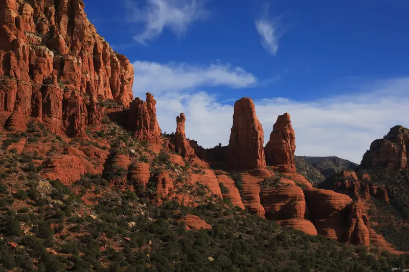
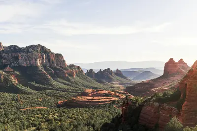
Sedona is a small town in northern Arizona, surrounded by red sandstone spires, mesas, and canyons.
Sedona is a small town in northern Arizona, surrounded by red sandstone spires, mesas, and canyons. You come for the scenery: Hardly anywhere else in the US Southwest are there so many short, spectacular hikes right on your doorstep, from Cathedral Rock to Devil's Bridge.The town is located about two hours' drive north of Phoenix and roughly an hour south of Flagstaff. This makes it a classic stop on the way to the Grand Canyon, but it deserves at least two full days. In the morning, you hike among the rocks, in the afternoon you cool off in Oak Creek, and in the evening you watch the rock walls glow in the last light.Besides nature, Sedona offers galleries, a striking rock chapel, and a vibrant restaurant scene with Mexican and Southwest cuisine. Plan early in the day, as the popular parking lots at the trailheads fill up quickly.
Sedona has a population of just under 10,000 (2020 Census) and sits at an elevation of around 1,330 meters. The town stretches along two highways: SR 89A connects Uptown Sedona with the shopping and residential area of West Sedona, while SR 179 leads south past Tlaquepaque, the Chapel of the Holy Cross, and Bell Rock to the Village of Oak Creek. You'll hardly manage without a car, yet the free Sedona Shuttle operates on selected days to popular trailheads, sparing you the parking hunt. Uptown is the tourist hub, featuring shops, restaurants, and rock views; Tlaquepaque is the art and gallery district along Oak Creek. North of town lies Oak Creek Canyon, one of Arizona's most beautiful scenic drives.
Sights in Sedona
Discover the most important sights and attractions
Attraction
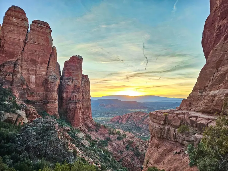
1Cathedral Rock
Sedona's most famous rock. At just under two kilometers long (round trip), the trail is steep, leading over smooth rock steps where you'll sometimes need your hands. Parking requires a Red Rock Pass; alternatively, take the free shuttle.
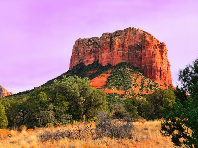
Bell-shaped rock directly off SR 179 south of town. From the Courthouse Vista parking lot, the Bell Rock Pathway and the Courthouse Butte Loop lead around the rock and the neighboring Courthouse Butte.
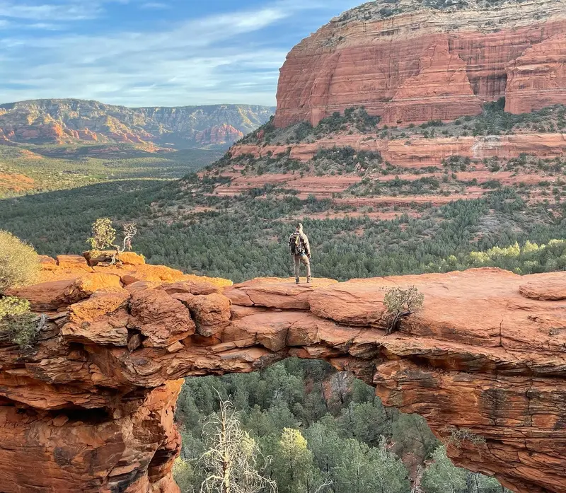
The area's largest natural sandstone arch, about 15 meters high, and you can walk across it. For regular cars, park at the Mescal Trailhead (approx. 6.4 km roundtrip) or Dry Creek Vista Trailhead, as direct access is only suitable for off-road vehicles.
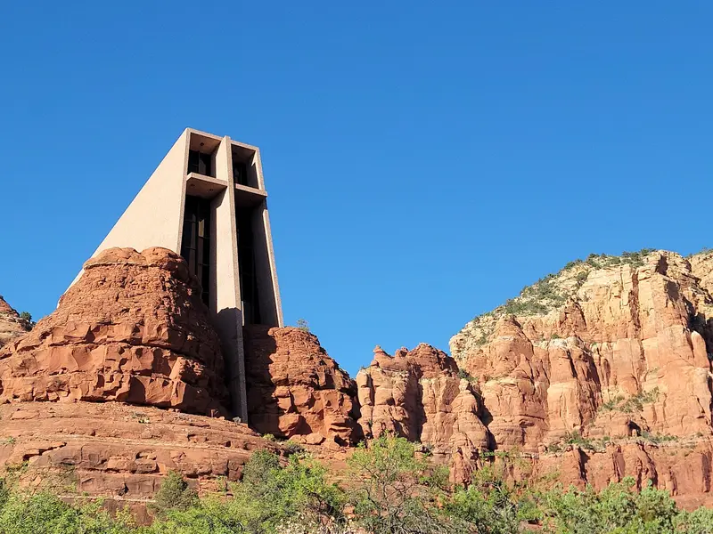
The Catholic chapel was built in 1956 between two red rock spires, with a 27-meter-high cross as its facade. Even if you're not religious, the architecture and valley views are worth it.
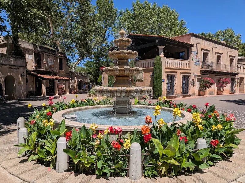
Mexican-style courtyards, fountains, and alleyways under old sycamores by Oak Creek. Here you'll find galleries, handicrafts, a small chapel, and several restaurants.
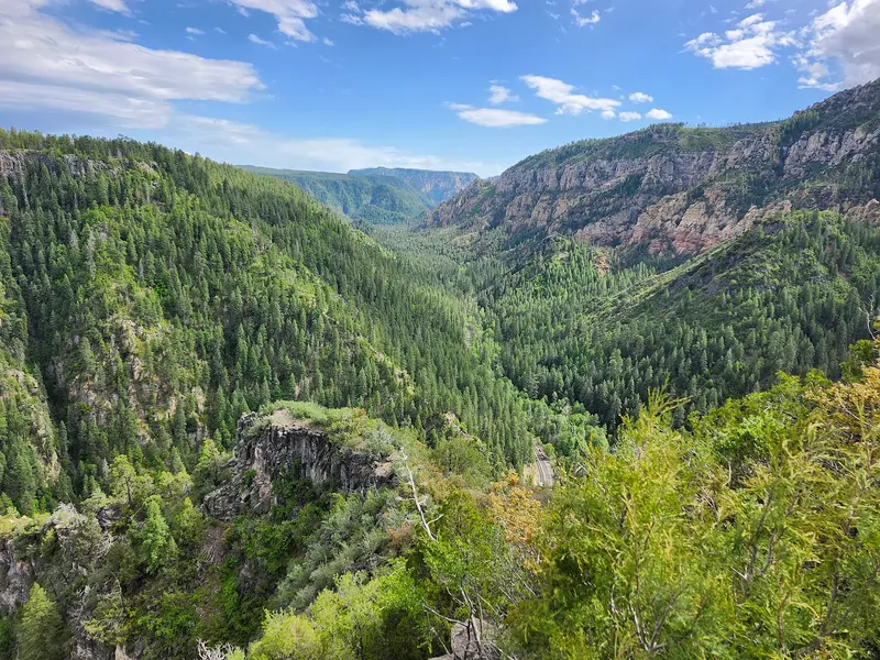
Viewpoint at the upper end of Oak Creek Canyon, just past the SR 89A switchbacks. From here, gaze deep into the canyon; the scenic drive from Sedona to Flagstaff is about 24 kilometers long, the foliage turns in October.
Sedona's cuisine is strongly Mexican and Southwest-influenced, featuring corn, chilies, prickly pear, and local Verde Valley wines.
Elote
Grilled corn on the cob or a Mexican-style corn dish, with lime, chili, mayonnaise, and cheese. The city's most famous restaurant, the Elote Cafe, bears the dish's name.
Prickly-Pear-Margarita
Margarita with pink prickly pear syrup. The prickly pear cactus grows everywhere in the Southwest, so you'll also find the fruit in lemonade, ice cream, and sweets.
Wine from the Verde Valley
Between Jerome and Sedona runs the Verde Valley Wine Trail. Many wineries are located in Page Springs and Cornville on Oak Creek, just a short drive west of town.
Navajo Taco
Fried flatbread (Frybread), topped with beans, ground beef, lettuce, cheese, and salsa. A Navajo dish you'll find on menus throughout Northern Arizona.
Craft Beer from Sedona
In Tlaquepaque, Oak Creek Brewery & Grill brews its own beers to drink on the terrace among the plane trees.
History and Culture
Long before the first settlers, people lived among the red rocks: The cliff dwellings of Palatki west of the city date from around 1150 to 1350, with rock art in the area attesting to even older use. The city owes its name to Sedona Schnebly, whose husband Theodore opened the first post office in 1902; back then, 55 people lived here. Sedona officially became a city only in 1988.From the 1920s to the 1970s, the area served as a backdrop for over sixty Hollywood productions, many of them Westerns like "Broken Arrow" or "3:10 to Yuma." Often, the red rocks played the role of Texas or Nevada.Today, art and spirituality define the image: galleries in Tlaquepaque and Uptown, along with crystal shops and energy work providers, have earned Sedona the reputation of a New Age center. The architectural landmark is the Chapel of the Holy Cross, completed in 1956, which sculptor Marguerite Brunswig Staude had built into the rocks.
AirportThe nearest major airport is Phoenix Sky Harbor (PHX), about 190 kilometers south. From there, it's a good two-hour drive via Interstate 17. Groome Transportation connects the airport to Sedona, Village of Oak Creek, and Cottonwood several times daily by shuttle bus; reservations are required. The smaller Flagstaff Pulliam Airport is about 40 kilometers north.Car and ParkingA rental car is almost indispensable for Sedona. Those parking at trailheads in Coconino National Forest need a Red Rock Pass: $5 per day, $15 per week, or $20 per year, available at on-site machines, the Visitor Center, or online via recreation.gov. The America the Beautiful Pass is also accepted. For a brief photo stop of about fifteen minutes, you don't need a pass. Parking lots at Cathedral Rock and Devil's Bridge are often full early in the morning.Sedona ShuttleThe free Sedona Shuttle runs from park-and-ride lots (including Posse Grounds Park) to the Cathedral Rock, Little Horse, Soldier Pass, Dry Creek Vista, and Mescal trailheads. The latter two are the starting points for Devil's Bridge. Operating days vary by season; current schedules can be found at sedonashuttle.com.Getting AroundYou can explore Uptown and Tlaquepaque on foot. For Slide Rock State Park and Oak Creek Canyon, take SR 89A north; the road is paved throughout. Access to the Devil's Bridge Trailhead via forest road FR 152 is very rough and suitable only for high-clearance 4x4 vehicles.